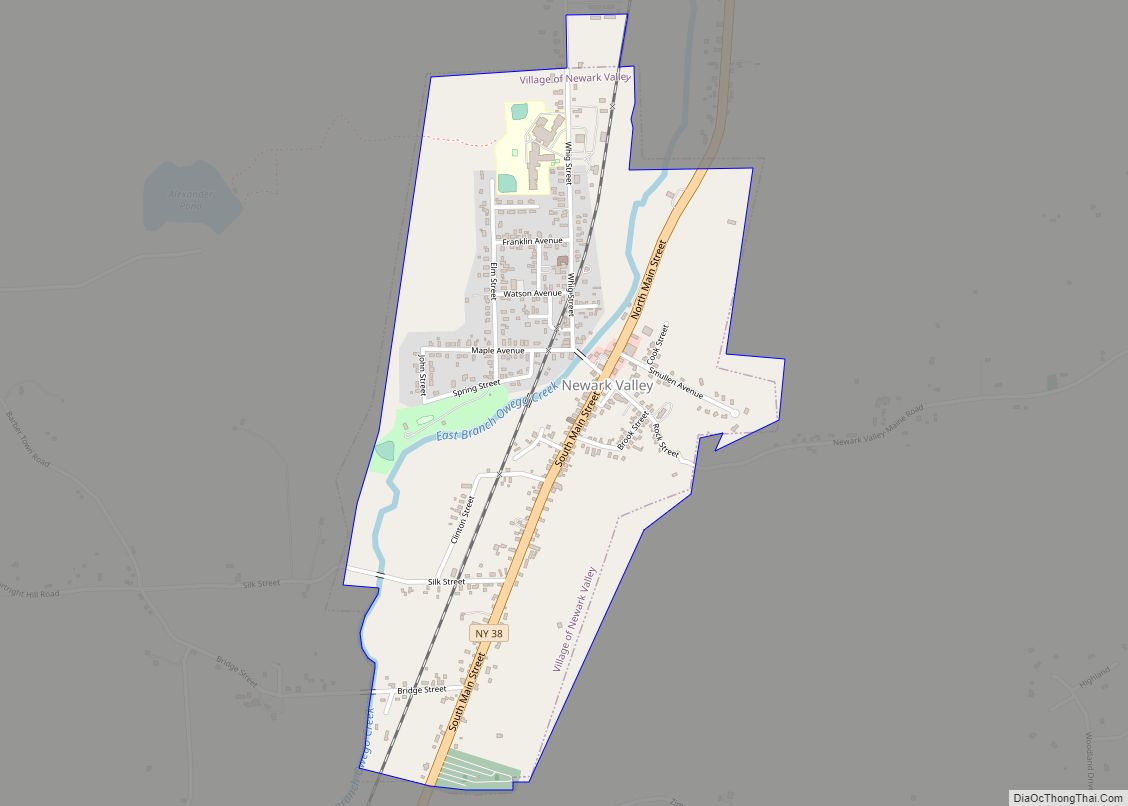
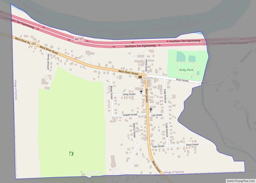
Newark Valley is a village in Tioga County, New York, United States. The population was 997 at the 2010 census. It is part of the Binghamton Metropolitan Statistical Area. The village is named after the city of Newark, New Jersey.
Newark Valley is in the western part of the Town of Newark Valley and is northwest of Binghamton.
| Name: | Newark Valley village |
|---|---|
| LSAD Code: | 47 |
| LSAD Description: | village (suffix) |
| State: | New York |
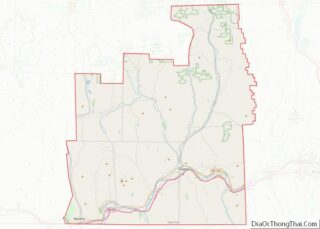
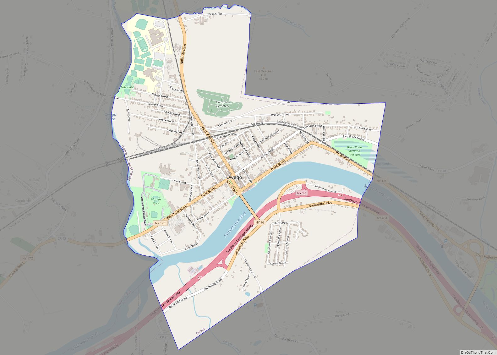
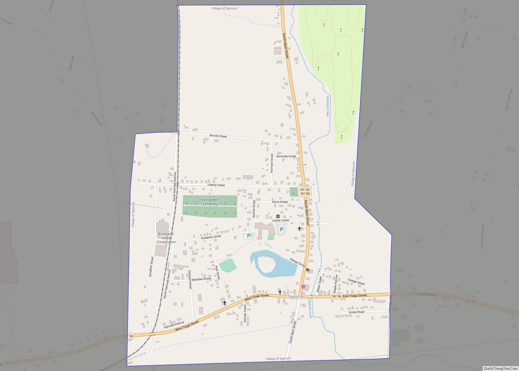
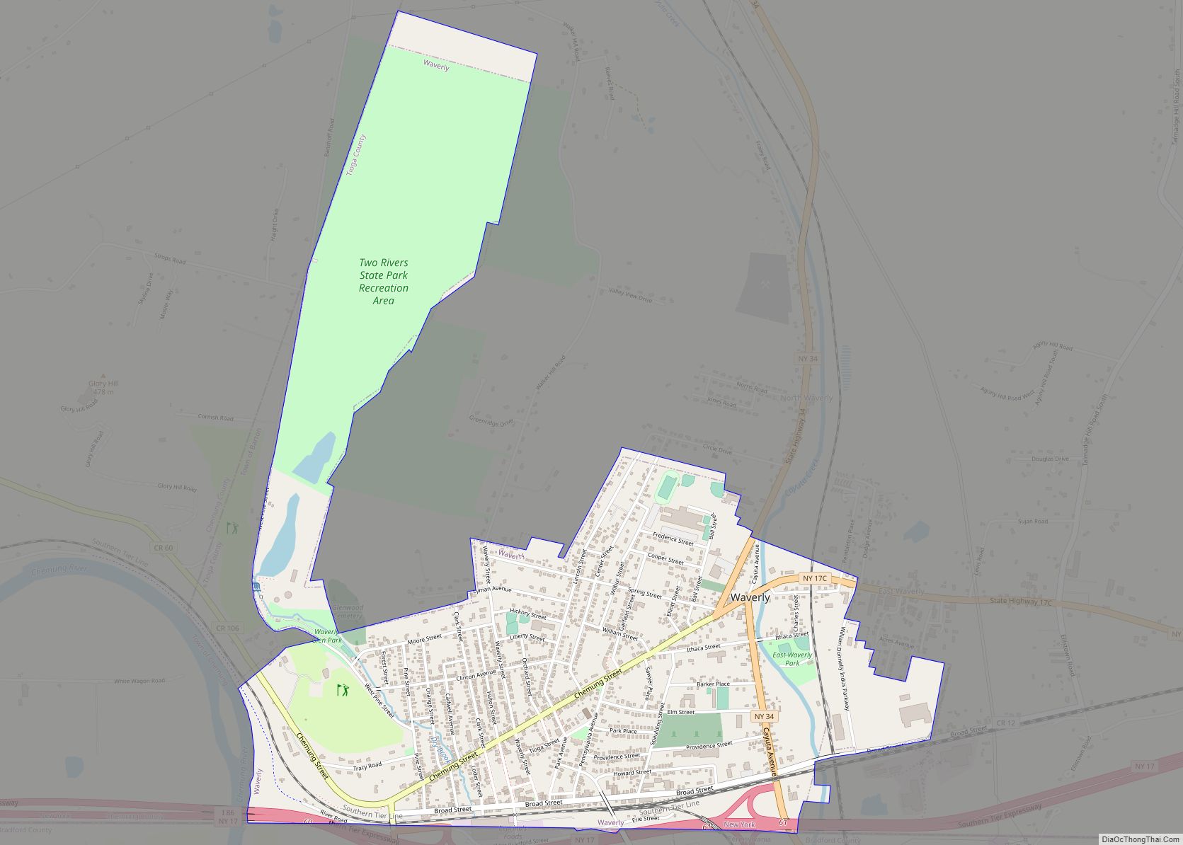
| County: | Tioga County |
| Incorporated: | September 1894 (1894-09) |
| Elevation: | 968 ft (295 m) |
| Total Area: | 0.99 sq mi (2.56 km²) |
| Land Area: | 0.99 sq mi (2.56 km²) |
| Water Area: | 0.00 sq mi (0.00 km²) |
| Total Population: | 928 |
| Population Density: | 939.27/sq mi (362.73/km²) |
| ZIP code: | 13811 |
| Area code: | 607 |
| FIPS code: | 3649902 |
| GNISfeature ID: | 0958490 |
| Website: | villagenv.com |
Online Interactive Map
Click on ![]() to view map in "full screen" mode.
to view map in "full screen" mode.
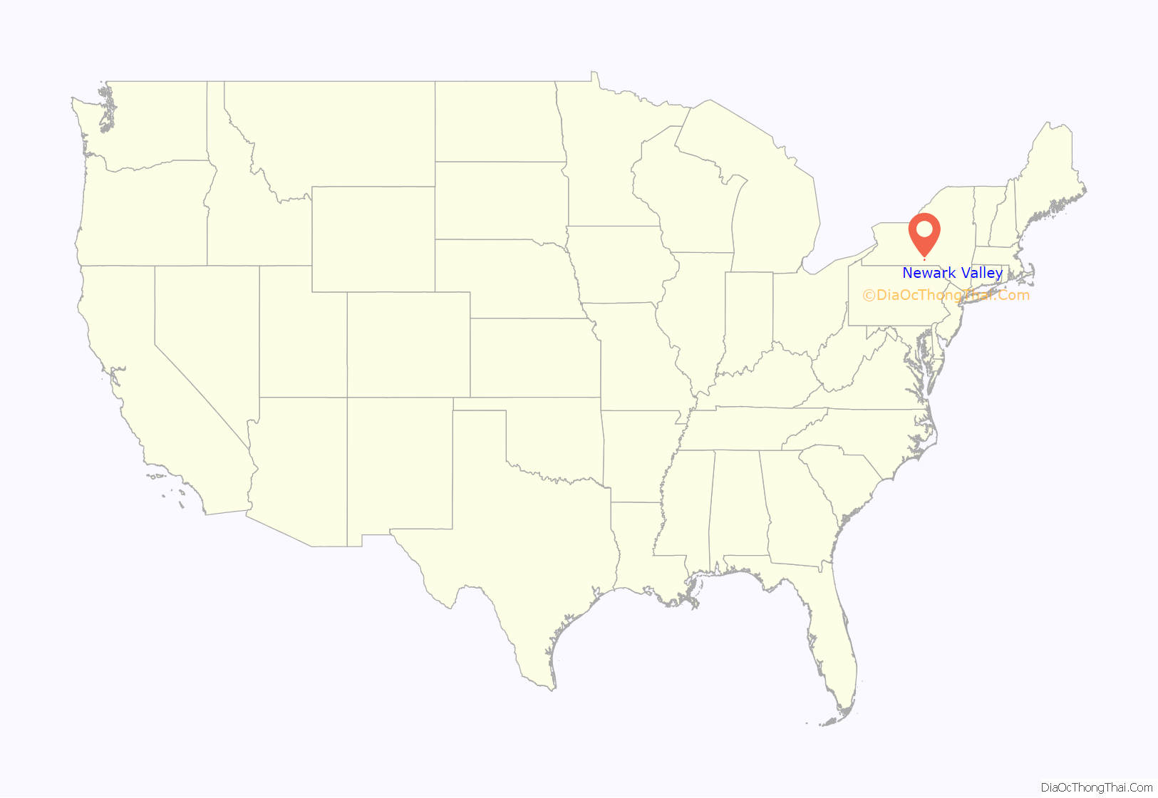
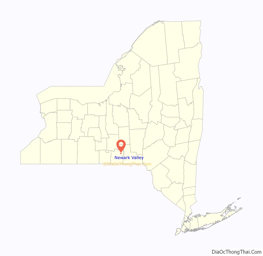
Newark Valley location map. Where is Newark Valley village?
History
The site of the village was first settled around 1792. Although many of the early settlers came from New England, the town name was accepted on a suggestion from someone from New Jersey.
The village of Newark Valley was incorporated in 1894.
The Hope Cemetery and Mausoleum, Knapp House, Newark Valley Municipal Building and Tappan-Spaulding Memorial Library, Nowland House, Gilbert E. Purple House, Silk Street Bridge, and Sutton-Chapman-Howland House are listed on the National Register of Historic Places.
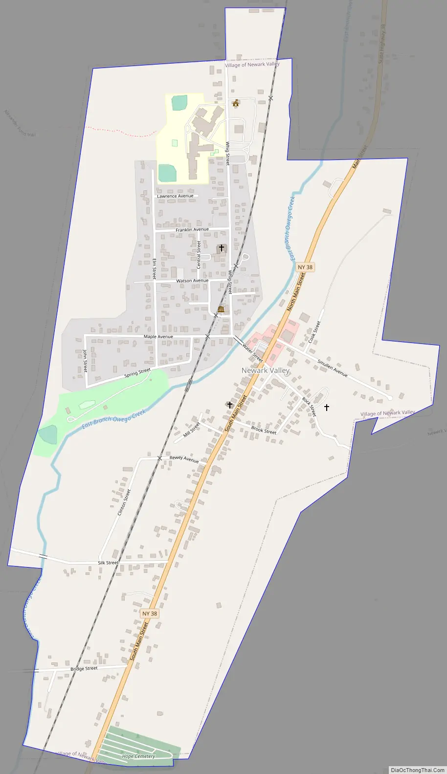
Newark Valley Road Map
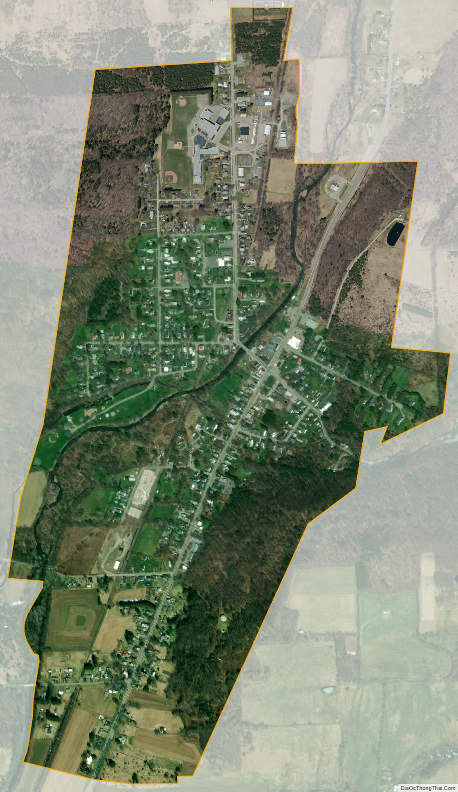
Newark Valley city Satellite Map
Geography
According to the United States Census Bureau, the village has a total area of 1.0 square mile (2.5 km), all land.
The village is in the valley of the East Branch of Owego Creek, on Route 38 (Main Street), north of its junction with NY-38B and south of its junction with County Road 37.
See also
Map of New York State and its subdivision:- Albany
- Allegany
- Bronx
- Broome
- Cattaraugus
- Cayuga
- Chautauqua
- Chemung
- Chenango
- Clinton
- Columbia
- Cortland
- Delaware
- Dutchess
- Erie
- Essex
- Franklin
- Fulton
- Genesee
- Greene
- Hamilton
- Herkimer
- Jefferson
- Kings
- Lake Ontario
- Lewis
- Livingston
- Madison
- Monroe
- Montgomery
- Nassau
- New York
- Niagara
- Oneida
- Onondaga
- Ontario
- Orange
- Orleans
- Oswego
- Otsego
- Putnam
- Queens
- Rensselaer
- Richmond
- Rockland
- Saint Lawrence
- Saratoga
- Schenectady
- Schoharie
- Schuyler
- Seneca
- Steuben
- Suffolk
- Sullivan
- Tioga
- Tompkins
- Ulster
- Warren
- Washington
- Wayne
- Westchester
- Wyoming
- Yates
- Alabama
- Alaska
- Arizona
- Arkansas
- California
- Colorado
- Connecticut
- Delaware
- District of Columbia
- Florida
- Georgia
- Hawaii
- Idaho
- Illinois
- Indiana
- Iowa
- Kansas
- Kentucky
- Louisiana
- Maine
- Maryland
- Massachusetts
- Michigan
- Minnesota
- Mississippi
- Missouri
- Montana
- Nebraska
- Nevada
- New Hampshire
- New Jersey
- New Mexico
- New York
- North Carolina
- North Dakota
- Ohio
- Oklahoma
- Oregon
- Pennsylvania
- Rhode Island
- South Carolina
- South Dakota
- Tennessee
- Texas
- Utah
- Vermont
- Virginia
- Washington
- West Virginia
- Wisconsin
- Wyoming