Nichols is a village located in the Town of Nichols in Tioga County, New York, United States. The population was 512 at the 2010 census. It is part of the Binghamton Metropolitan Statistical Area. The name is taken from that of a local benefactor, Colonel Nichols.
The Village of Nichols is on the northern border of the town and is in the Southern Tier District of New York. Nichols is halfway between Binghamton and Elmira.
| Name: | Nichols village |
|---|---|
| LSAD Code: | 47 |
| LSAD Description: | village (suffix) |
| State: | New York |
| County: | Tioga County |
| Incorporated: | 1903 (1903) |
| Elevation: | 791 ft (241 m) |
| Total Area: | 0.52 sq mi (1.34 km²) |
| Land Area: | 0.52 sq mi (1.34 km²) |
| Water Area: | 0.00 sq mi (0.00 km²) |
| Total Population: | 457 |
| Population Density: | 882.24/sq mi (340.35/km²) |
| ZIP code: | 13812 |
| Area code: | 607 |
| FIPS code: | 3651110 |
| GNISfeature ID: | 0958556 |
| Website: | www.tiogacountyny.com/towns-villages/nichols-village-of.html |
Online Interactive Map
Click on ![]() to view map in "full screen" mode.
to view map in "full screen" mode.
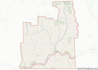
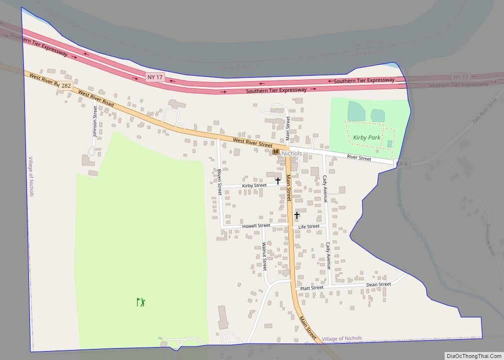
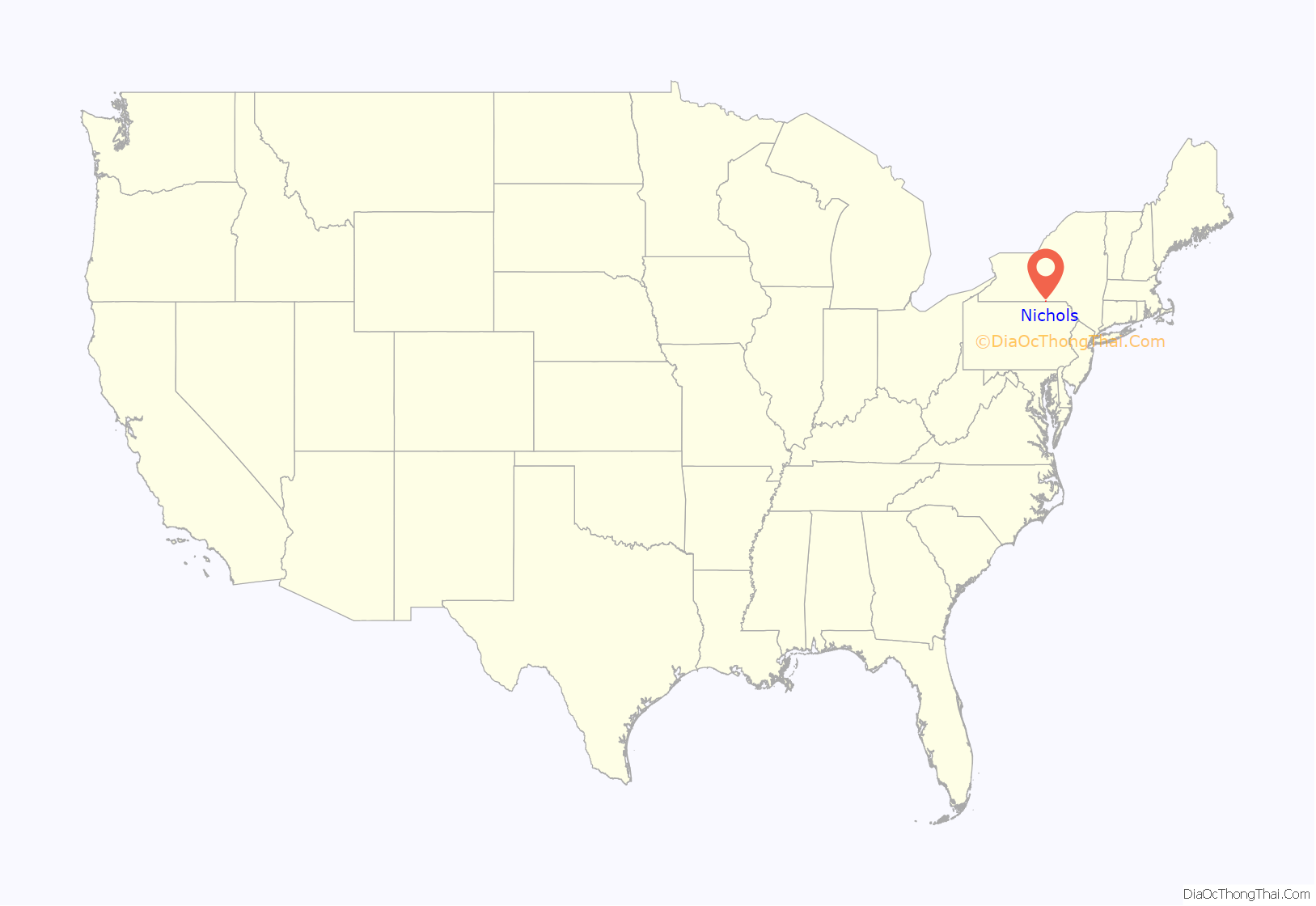
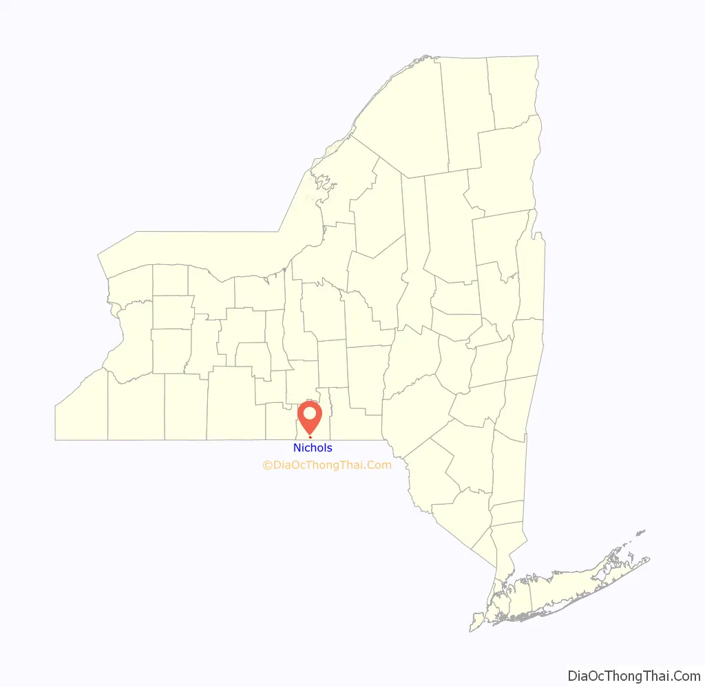
Nichols location map. Where is Nichols village?
History
The Sullivan Expedition of 1779 passed through the region.
The village was settled around 1793 and was originally called the “Corners.” The community was briefly known as “Rushville,” but the name was changed to “Nichols” when the Tioga County was created.
The Nichols High School and Platt-Cady Mansion are listed on the National Register of Historic Places.
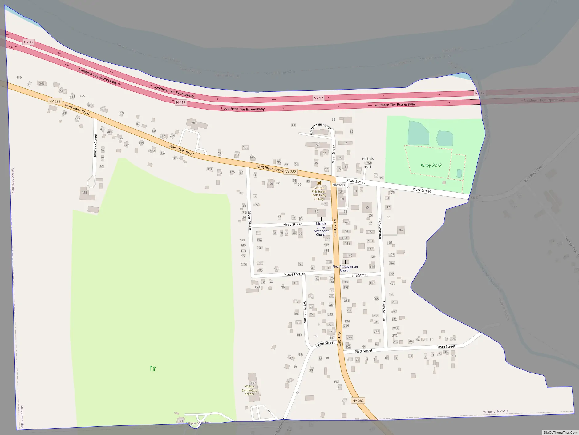
Nichols Road Map
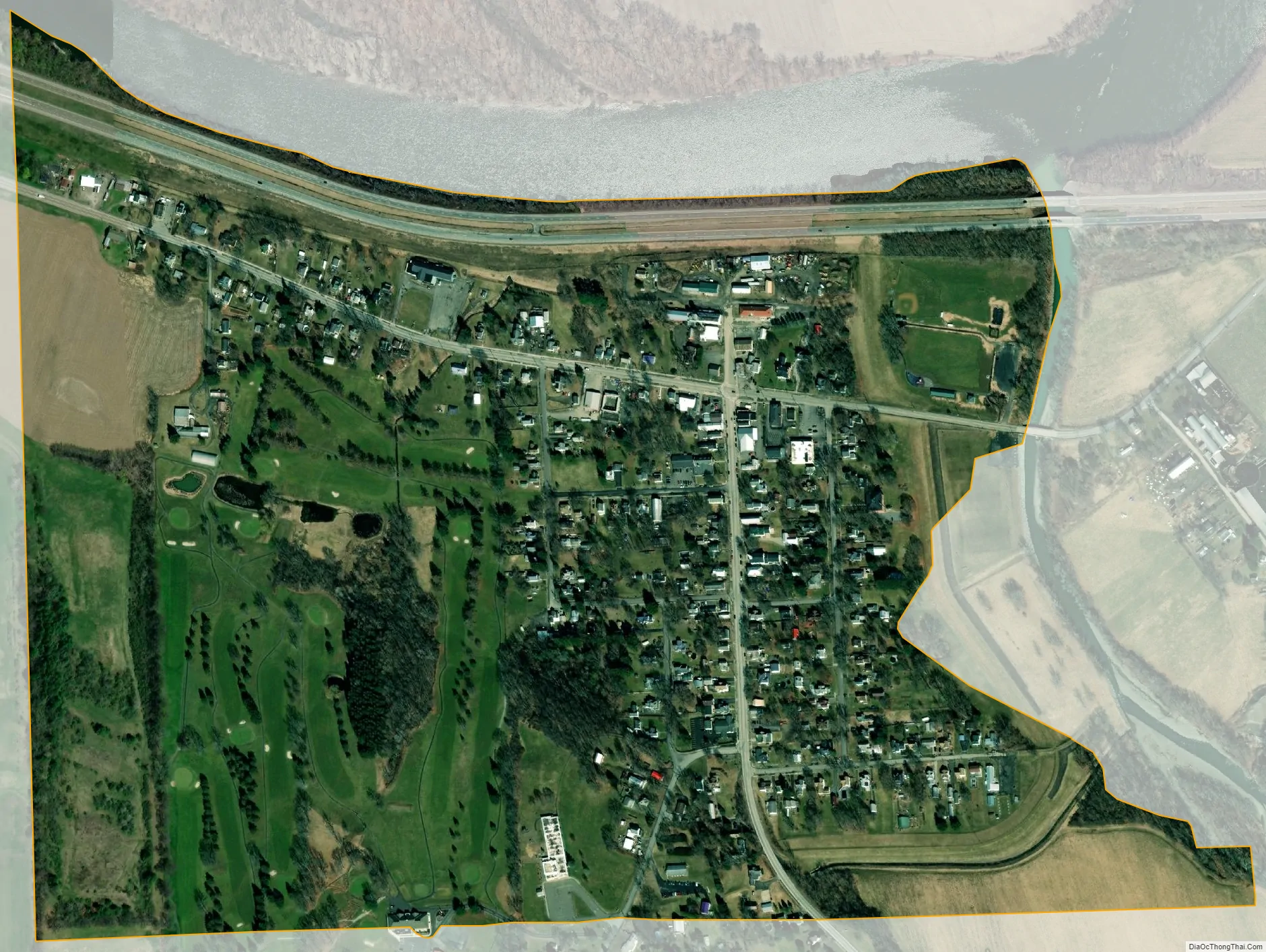
Nichols city Satellite Map
Geography
Nichols is located at 42°1′11″N 76°22′6″W / 42.01972°N 76.36833°W / 42.01972; -76.36833 (42.019986, -76.368505).
According to the United States Census Bureau, the village has a total area of 0.5 square mile (1.3 km), all land.
The Susquehanna River flows past the northern side of the village. Wapasening Creek flows into the river at Nichols village.
The Southern Tier Expressway (New York State Route 17 and future Interstate 86) and New York State Route 282 pass through the village.
See also
Map of New York State and its subdivision:- Albany
- Allegany
- Bronx
- Broome
- Cattaraugus
- Cayuga
- Chautauqua
- Chemung
- Chenango
- Clinton
- Columbia
- Cortland
- Delaware
- Dutchess
- Erie
- Essex
- Franklin
- Fulton
- Genesee
- Greene
- Hamilton
- Herkimer
- Jefferson
- Kings
- Lake Ontario
- Lewis
- Livingston
- Madison
- Monroe
- Montgomery
- Nassau
- New York
- Niagara
- Oneida
- Onondaga
- Ontario
- Orange
- Orleans
- Oswego
- Otsego
- Putnam
- Queens
- Rensselaer
- Richmond
- Rockland
- Saint Lawrence
- Saratoga
- Schenectady
- Schoharie
- Schuyler
- Seneca
- Steuben
- Suffolk
- Sullivan
- Tioga
- Tompkins
- Ulster
- Warren
- Washington
- Wayne
- Westchester
- Wyoming
- Yates
- Alabama
- Alaska
- Arizona
- Arkansas
- California
- Colorado
- Connecticut
- Delaware
- District of Columbia
- Florida
- Georgia
- Hawaii
- Idaho
- Illinois
- Indiana
- Iowa
- Kansas
- Kentucky
- Louisiana
- Maine
- Maryland
- Massachusetts
- Michigan
- Minnesota
- Mississippi
- Missouri
- Montana
- Nebraska
- Nevada
- New Hampshire
- New Jersey
- New Mexico
- New York
- North Carolina
- North Dakota
- Ohio
- Oklahoma
- Oregon
- Pennsylvania
- Rhode Island
- South Carolina
- South Dakota
- Tennessee
- Texas
- Utah
- Vermont
- Virginia
- Washington
- West Virginia
- Wisconsin
- Wyoming