Norwood is a village located in St. Lawrence County, New York, United States. As of the 2010 census, the village had a total population of 1,560. The village is located partly in two towns, Potsdam and of Norfolk, and located is east of the village of Potsdam.
| Name: | Norwood village |
|---|---|
| LSAD Code: | 47 |
| LSAD Description: | village (suffix) |
| State: | New York |
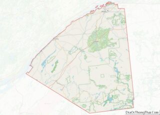
| County: | St. Lawrence County |
| Elevation: | 331 ft (101 m) |
| Total Area: | 2.26 sq mi (5.86 km²) |
| Land Area: | 2.10 sq mi (5.43 km²) |
| Water Area: | 0.17 sq mi (0.44 km²) |
| Total Population: | 1,552 |
| Population Density: | 740.81/sq mi (286.05/km²) |
| FIPS code: | 3654012 |
| GNISfeature ID: | 0976744 |
Online Interactive Map
Click on ![]() to view map in "full screen" mode.
to view map in "full screen" mode.
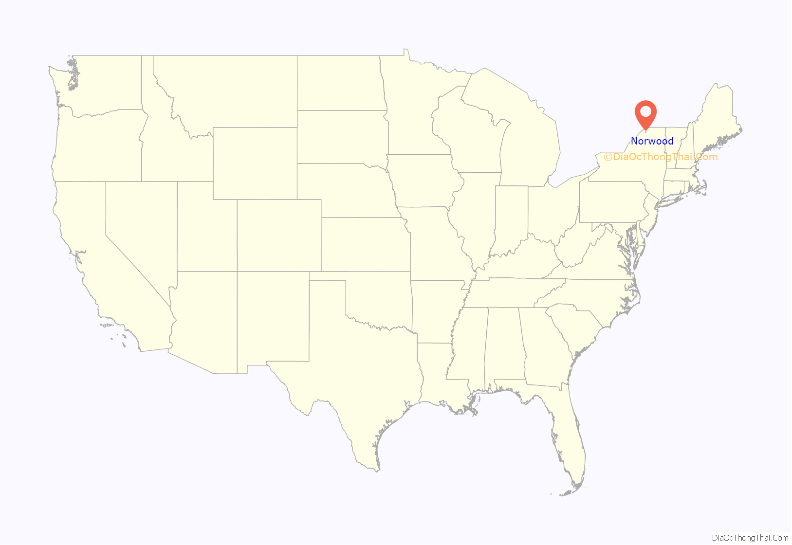
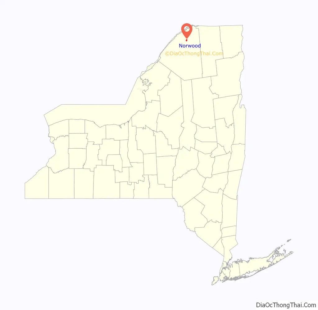
Norwood location map. Where is Norwood village?
History
The community was known early in its history as “Raquetteville.” Norwood as it is known today, grew out of the shadows of Potsdam, New York in the 1870s. In 1871 this growing Potsdam hamlet became the village of Potsdam Junction. Villagers later wanted to further distinguish their municipality from the town through renaming; the first proposal was to call is Baldwin, but that was rejected due to a post office of that name. On April 15, 1875, Norwood was selected. The mayor of Norwood is currently Tim Levison.
The Benjamin Gordon Baldwin House was listed on the National Register of Historic Places in 2004.
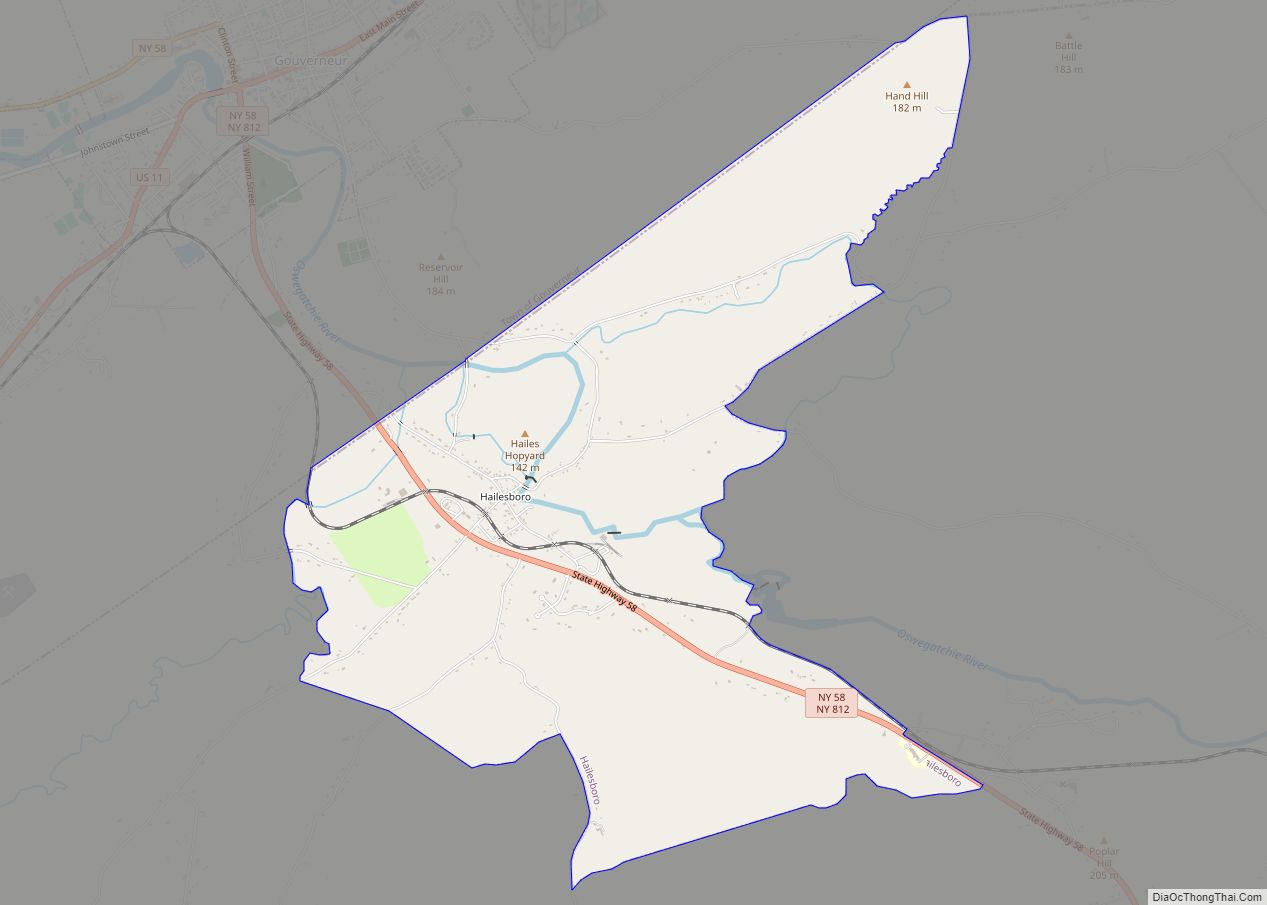
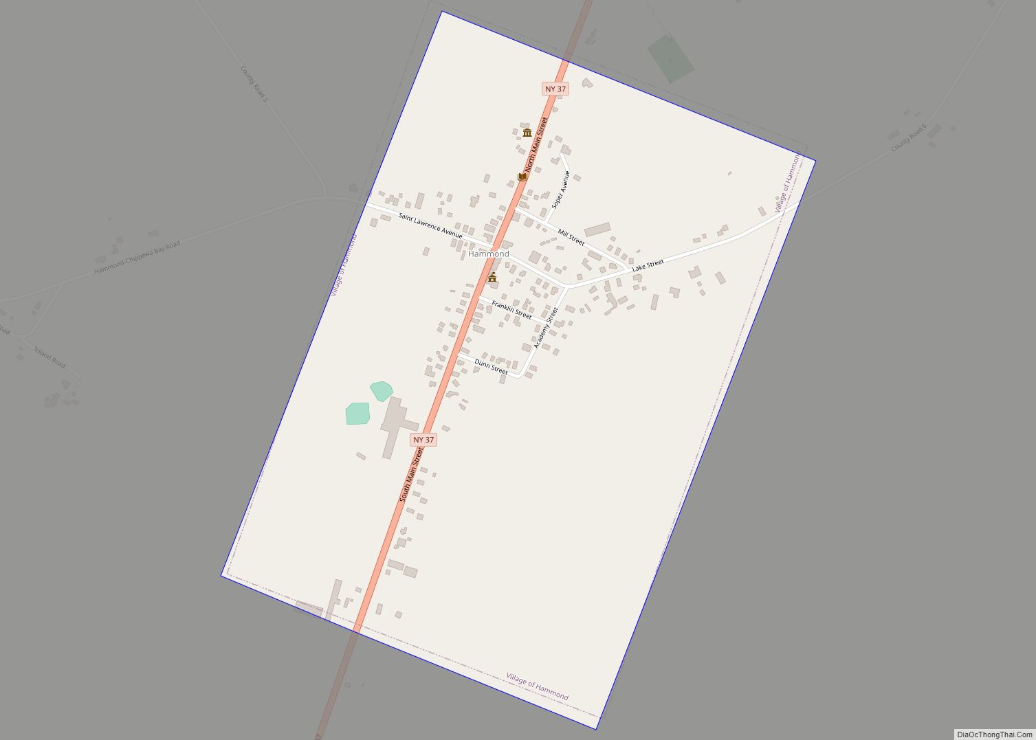
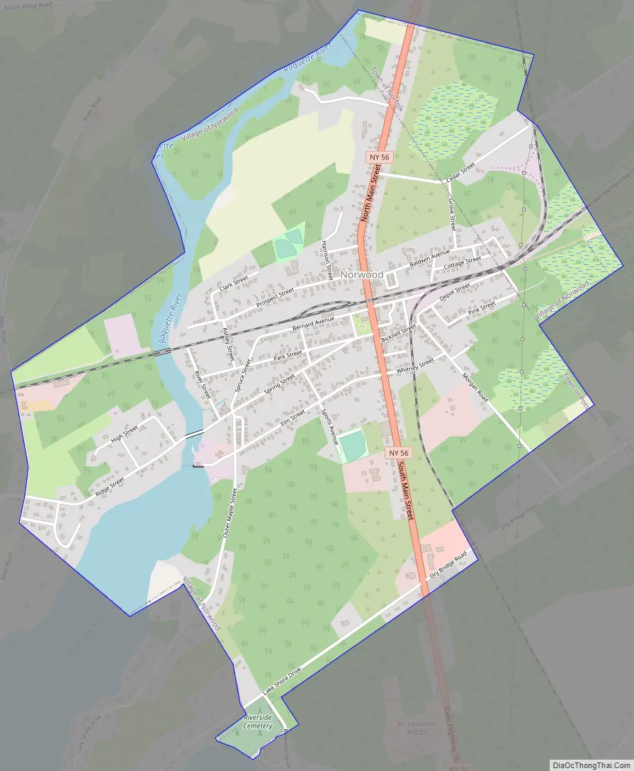
Norwood Road Map
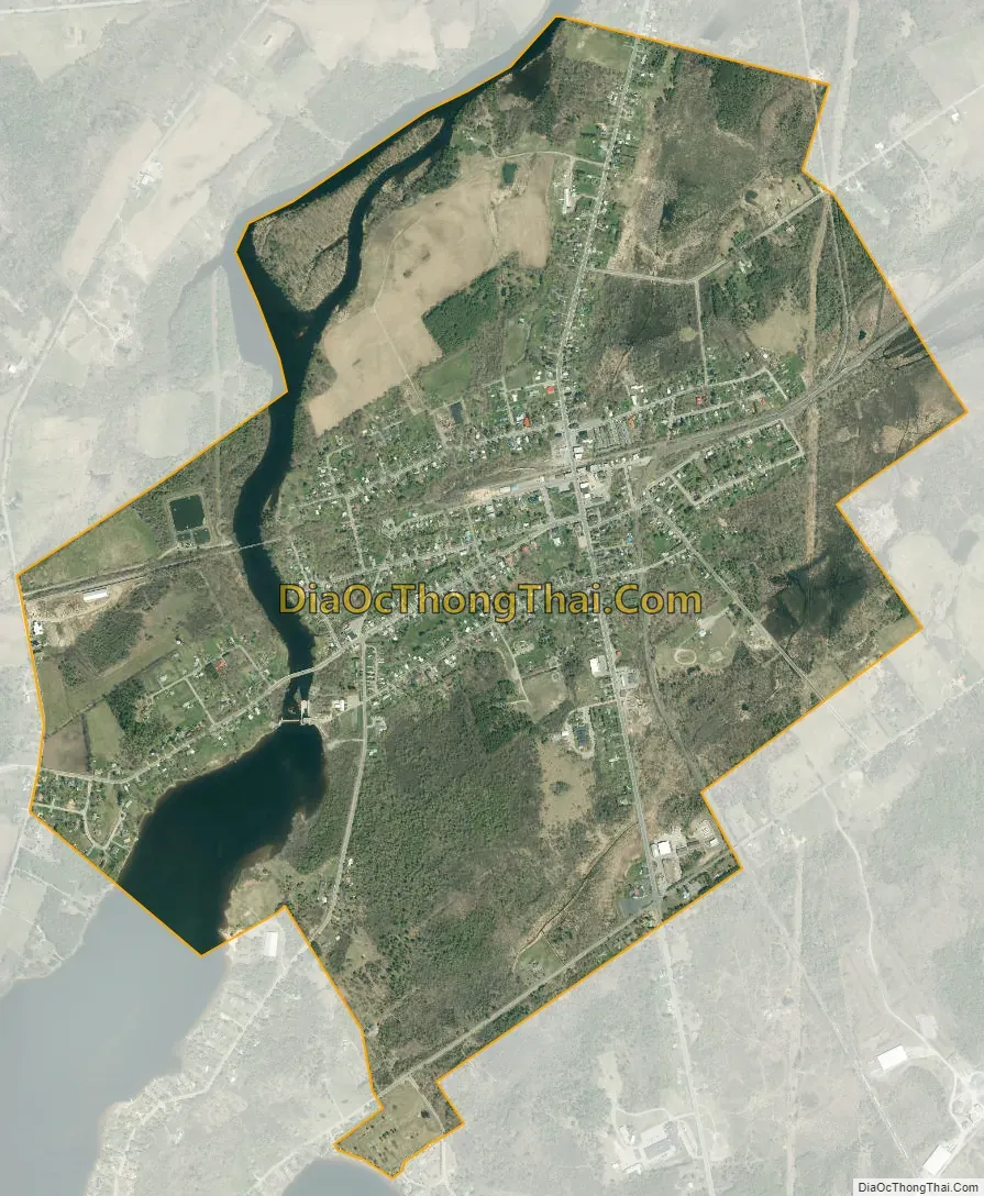
Norwood city Satellite Map
Geography
Norwood is located at 44°44’54” north, 74°59’50” west (44.748416, -74.997269).
According to the United States Census Bureau, the village has a total area of 2.3 square miles (6.0 km), of which 2.1 square miles (5.4 km) is land and 0.2 square miles (0.52 km) is water. The total area is 8.41% water.
The village straddles the Raquette River.
North–south highway, New York State Route 56 (North/South Main Street) passes through the center of the village. County Road 35 enters the village from the west, and County Road 48 joins NY-56 just south of the village.
See also
Map of New York State and its subdivision:- Albany
- Allegany
- Bronx
- Broome
- Cattaraugus
- Cayuga
- Chautauqua
- Chemung
- Chenango
- Clinton
- Columbia
- Cortland
- Delaware
- Dutchess
- Erie
- Essex
- Franklin
- Fulton
- Genesee
- Greene
- Hamilton
- Herkimer
- Jefferson
- Kings
- Lake Ontario
- Lewis
- Livingston
- Madison
- Monroe
- Montgomery
- Nassau
- New York
- Niagara
- Oneida
- Onondaga
- Ontario
- Orange
- Orleans
- Oswego
- Otsego
- Putnam
- Queens
- Rensselaer
- Richmond
- Rockland
- Saint Lawrence
- Saratoga
- Schenectady
- Schoharie
- Schuyler
- Seneca
- Steuben
- Suffolk
- Sullivan
- Tioga
- Tompkins
- Ulster
- Warren
- Washington
- Wayne
- Westchester
- Wyoming
- Yates
- Alabama
- Alaska
- Arizona
- Arkansas
- California
- Colorado
- Connecticut
- Delaware
- District of Columbia
- Florida
- Georgia
- Hawaii
- Idaho
- Illinois
- Indiana
- Iowa
- Kansas
- Kentucky
- Louisiana
- Maine
- Maryland
- Massachusetts
- Michigan
- Minnesota
- Mississippi
- Missouri
- Montana
- Nebraska
- Nevada
- New Hampshire
- New Jersey
- New Mexico
- New York
- North Carolina
- North Dakota
- Ohio
- Oklahoma
- Oregon
- Pennsylvania
- Rhode Island
- South Carolina
- South Dakota
- Tennessee
- Texas
- Utah
- Vermont
- Virginia
- Washington
- West Virginia
- Wisconsin
- Wyoming