Old Forge is a hamlet (and census-designated place) on New York State Route 28 in the town of Webb in Herkimer County, New York, United States. The population was 756 at the 2010 census. Old Forge was formerly a village but dissolved its incorporation in 1936, but it remains the principal community in the region. As one of the western gateway communities of the Adirondack Park, Old Forge forms an extensive business district, primarily directed at tourism especially during the summer months. The local school is the Town of Webb UFSD, a K–12 institution with the Eskimo as their mascot. Old Forge often records the lowest winter temperatures in New York. On February 17, 1979, the record low temperature for New York was set in Old Forge at −52 °F (−47 °C).
| Name: | Old Forge CDP |
|---|---|
| LSAD Code: | 57 |
| LSAD Description: | CDP (suffix) |
| State: | New York |
| County: | Herkimer County |
| Incorporated: | October 1903 |
| Elevation: | 1,857 ft (566 m) |
| Total Area: | 1.96 sq mi (5.09 km²) |
| Land Area: | 1.79 sq mi (4.63 km²) |
| Water Area: | 0.18 sq mi (0.46 km²) |
| Total Population: | 727 |
| Population Density: | 407.05/sq mi (157.15/km²) |
| ZIP code: | 13420 |
| Area code: | 315 |
| FIPS code: | 3654639 |
| GNISfeature ID: | 2631633 |
Online Interactive Map
Click on ![]() to view map in "full screen" mode.
to view map in "full screen" mode.
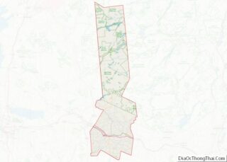
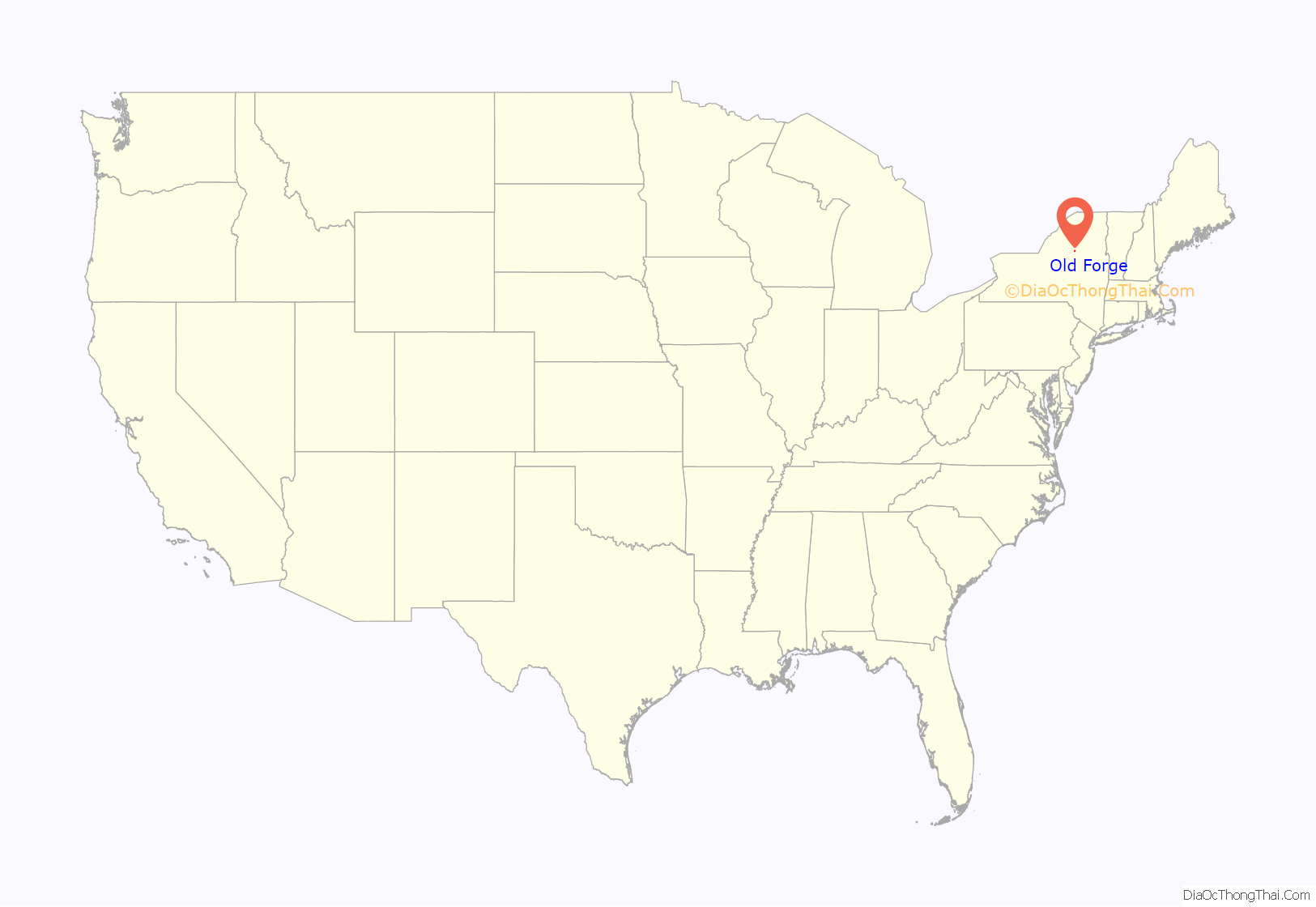
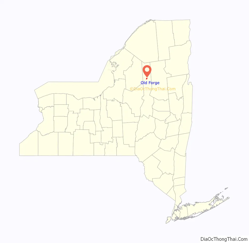
Old Forge location map. Where is Old Forge CDP?
History
In 1798, the 210,000-acre (85,000 ha) area including Old Forge came into possession of the Brown family of Rhode Island, through a transaction involving Aaron Burr. John Francis Brown built a 25-mile (40 km) wagon trail from Remsen and attempted to settle about 20 families in the area. The land was unsuitable for farming, these attempts failed, and the area was abandoned by 1803.
One of John Brown’s daughters, Sarah “Sally” Brown (1773–1846), married in 1801 Charles Frederick Herreshoff II (1763–1819). Together, they moved to the area and attempted to raise sheep, opened an iron mine, and built the first forge. These ventures again failed, and Herreshoff committed suicide in 1819. (see Herreshoff family) A few settlers remained, including Nat Foster.
The railroad was built in 1888, originally horse-drawn with wooden rails. Before the railroad was completed, the plans were changed to use steam power rather than horses. A station was constructed at nearby Thendara.
Old Forge was incorporated as a village in October 1903. The incorporation would be short-lived, as residents voted to dissolve the village on July 11, 1933, 117 to 96, due to the high cost of government operations. A second vote for the final dissolution plan took place on October 21, 1933, also in favor. The New York Supreme Court, 5th Judicial District, handed down a court order three months later suspending the dissolution process due to a lawsuit claiming the special election in October was illegal based on taxpayer and distribution factors within the plan. After an appeal to the New York Supreme Court, Appellate Division, Fourth Department, the Village of Old Forge was officially able to dissolve on March 31, 1936.
Old Forge Road Map
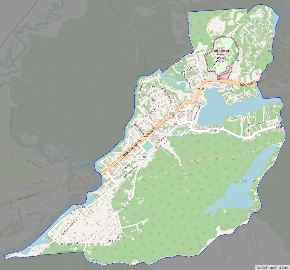
Old Forge city Satellite Map
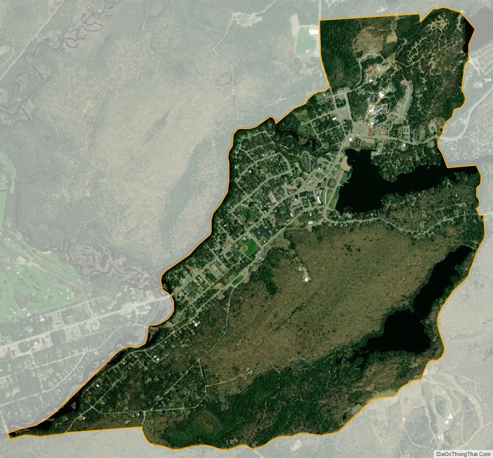
Geography
Old Forge is located in northern Herkimer County at 43°42′23″N 74°58′09″W / 43.706401°N 74.969122°W / 43.706401; -74.969122, in the southern part of the town of Webb. The community lies within the Adirondack Mountains, a southern extension of the Canadian Shield and an important geologic feature of New York. As with any settlement in Adirondack Park, development both inside and outside the hamlet of Old Forge is somewhat restricted, and land use policies set forth by the Adirondack Park Agency must be observed.
According to the United States Census Bureau, the CDP has a total area of 2.0 square miles (5.1 km), of which 1.8 square miles (4.6 km) are land and 0.2 square miles (0.5 km), or 9.06%, are water.
The primary highway passing through Old Forge is New York State Route 28, leading east 22 miles (35 km) to Raquette Lake and southwest 26 miles (42 km) to Route 12 at Alder Creek. Old Forge lies along the Moose River at the western end of the Fulton Chain of Lakes. The climate is cool summer humid continental.
See also
Map of New York State and its subdivision:- Albany
- Allegany
- Bronx
- Broome
- Cattaraugus
- Cayuga
- Chautauqua
- Chemung
- Chenango
- Clinton
- Columbia
- Cortland
- Delaware
- Dutchess
- Erie
- Essex
- Franklin
- Fulton
- Genesee
- Greene
- Hamilton
- Herkimer
- Jefferson
- Kings
- Lake Ontario
- Lewis
- Livingston
- Madison
- Monroe
- Montgomery
- Nassau
- New York
- Niagara
- Oneida
- Onondaga
- Ontario
- Orange
- Orleans
- Oswego
- Otsego
- Putnam
- Queens
- Rensselaer
- Richmond
- Rockland
- Saint Lawrence
- Saratoga
- Schenectady
- Schoharie
- Schuyler
- Seneca
- Steuben
- Suffolk
- Sullivan
- Tioga
- Tompkins
- Ulster
- Warren
- Washington
- Wayne
- Westchester
- Wyoming
- Yates
- Alabama
- Alaska
- Arizona
- Arkansas
- California
- Colorado
- Connecticut
- Delaware
- District of Columbia
- Florida
- Georgia
- Hawaii
- Idaho
- Illinois
- Indiana
- Iowa
- Kansas
- Kentucky
- Louisiana
- Maine
- Maryland
- Massachusetts
- Michigan
- Minnesota
- Mississippi
- Missouri
- Montana
- Nebraska
- Nevada
- New Hampshire
- New Jersey
- New Mexico
- New York
- North Carolina
- North Dakota
- Ohio
- Oklahoma
- Oregon
- Pennsylvania
- Rhode Island
- South Carolina
- South Dakota
- Tennessee
- Texas
- Utah
- Vermont
- Virginia
- Washington
- West Virginia
- Wisconsin
- Wyoming