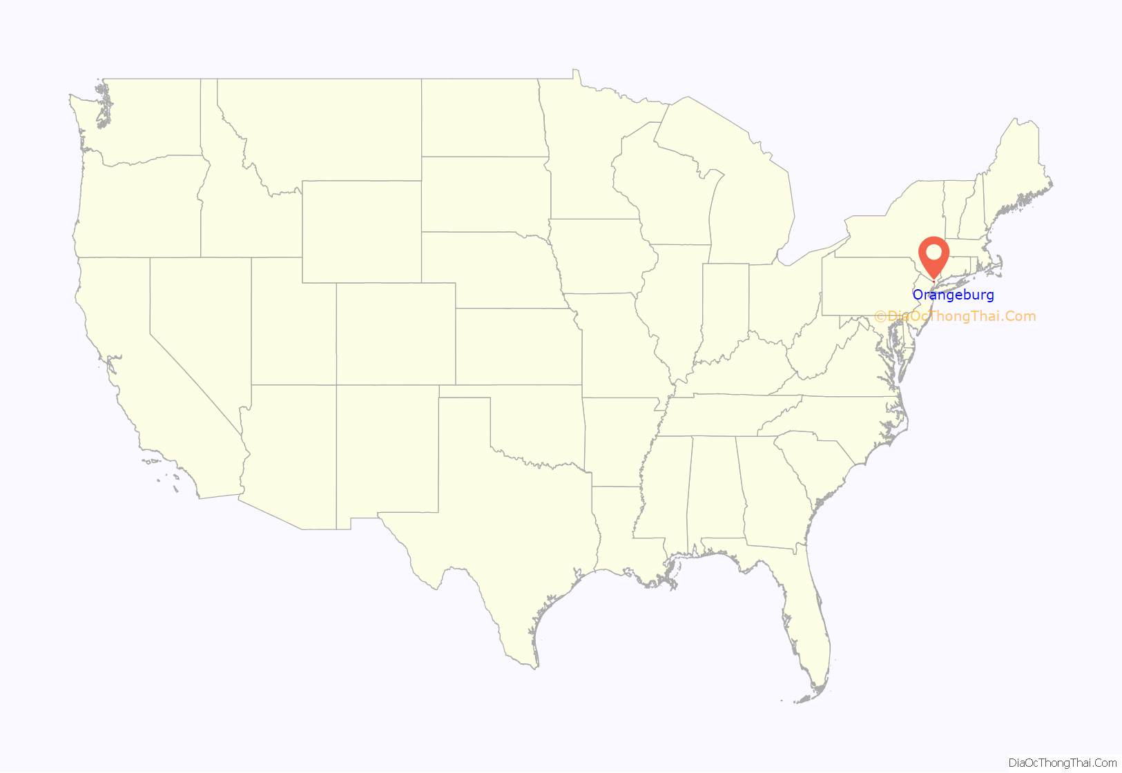
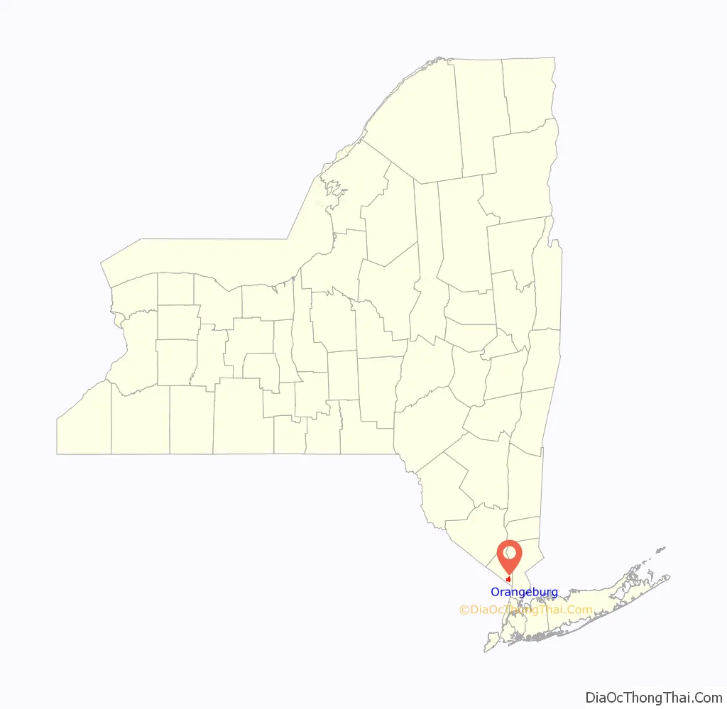
Orangeburg is a hamlet and census-designated place, in the town of Orangetown, Rockland County, New York, United States. It is located north of Tappan, south of Blauvelt, east of Pearl River and west of Piermont. The population was 4,568 at the 2010 census.
| Name: | Orangeburg CDP |
|---|---|
| LSAD Code: | 57 |
| LSAD Description: | CDP (suffix) |
| State: | New York |
| County: | Rockland County |
| Elevation: | 112 ft (34 m) |
| Total Area: | 3.06 sq mi (7.93 km²) |
| Land Area: | 3.06 sq mi (7.93 km²) |
| Water Area: | 0.00 sq mi (0.00 km²) |
| Total Population: | 4,565 |
| Population Density: | 1,490.37/sq mi (575.43/km²) |
| ZIP code: | 10962 |
| Area code: | 845 |
| FIPS code: | 3655167 |
| GNISfeature ID: | 0959432 |
Online Interactive Map
Click on ![]() to view map in "full screen" mode.
to view map in "full screen" mode.
Orangeburg location map. Where is Orangeburg CDP?
History
Orangeburg was the site of Camp Shanks, known as “Last Stop USA”, the largest World War II Army embarkation camp. A total of 1.3 million US service personnel en route to Europe were processed at a sprawling camp that covered most of the town. The hamlet also has one of the world’s largest psychiatric hospitals, Rockland Psychiatric Center, formerly called Rockland State Hospital. Orangeburg pipe was once manufactured here. Before plastic pipes, it was the standard alternative to metal pipes, especially for sewer and outdoor drainage applications.
After World War II, even through it lies only 19 miles (31 km) north of New York City, Orangeburg was very rural with few residents, many of whom lived quite modestly in former soldiers’ housing. That lasted until the late 1950s when developers introduced modern suburban housing to young couples who saw it as an alternative to city living. Today, Orangeburg is a suburb of New York City.
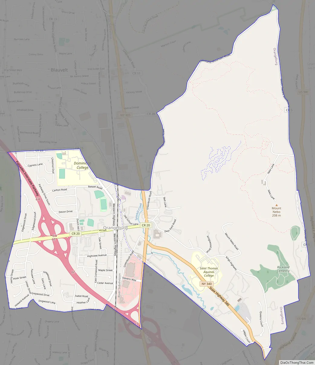
Orangeburg Road Map
Orangeburg city Satellite Map
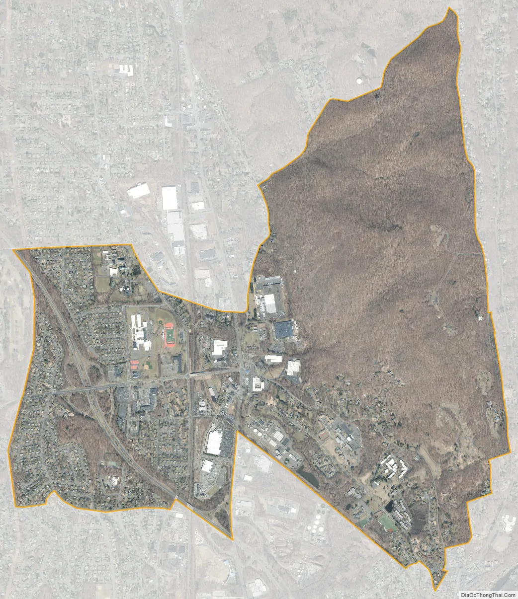
Geography
Orangeburg is located at 41°2′41″N 73°57′12″W / 41.04472°N 73.95333°W / 41.04472; -73.95333 (41.044796, -73.953404).
See also
Map of New York State and its subdivision:- Albany
- Allegany
- Bronx
- Broome
- Cattaraugus
- Cayuga
- Chautauqua
- Chemung
- Chenango
- Clinton
- Columbia
- Cortland
- Delaware
- Dutchess
- Erie
- Essex
- Franklin
- Fulton
- Genesee
- Greene
- Hamilton
- Herkimer
- Jefferson
- Kings
- Lake Ontario
- Lewis
- Livingston
- Madison
- Monroe
- Montgomery
- Nassau
- New York
- Niagara
- Oneida
- Onondaga
- Ontario
- Orange
- Orleans
- Oswego
- Otsego
- Putnam
- Queens
- Rensselaer
- Richmond
- Rockland
- Saint Lawrence
- Saratoga
- Schenectady
- Schoharie
- Schuyler
- Seneca
- Steuben
- Suffolk
- Sullivan
- Tioga
- Tompkins
- Ulster
- Warren
- Washington
- Wayne
- Westchester
- Wyoming
- Yates
- Alabama
- Alaska
- Arizona
- Arkansas
- California
- Colorado
- Connecticut
- Delaware
- District of Columbia
- Florida
- Georgia
- Hawaii
- Idaho
- Illinois
- Indiana
- Iowa
- Kansas
- Kentucky
- Louisiana
- Maine
- Maryland
- Massachusetts
- Michigan
- Minnesota
- Mississippi
- Missouri
- Montana
- Nebraska
- Nevada
- New Hampshire
- New Jersey
- New Mexico
- New York
- North Carolina
- North Dakota
- Ohio
- Oklahoma
- Oregon
- Pennsylvania
- Rhode Island
- South Carolina
- South Dakota
- Tennessee
- Texas
- Utah
- Vermont
- Virginia
- Washington
- West Virginia
- Wisconsin
- Wyoming


