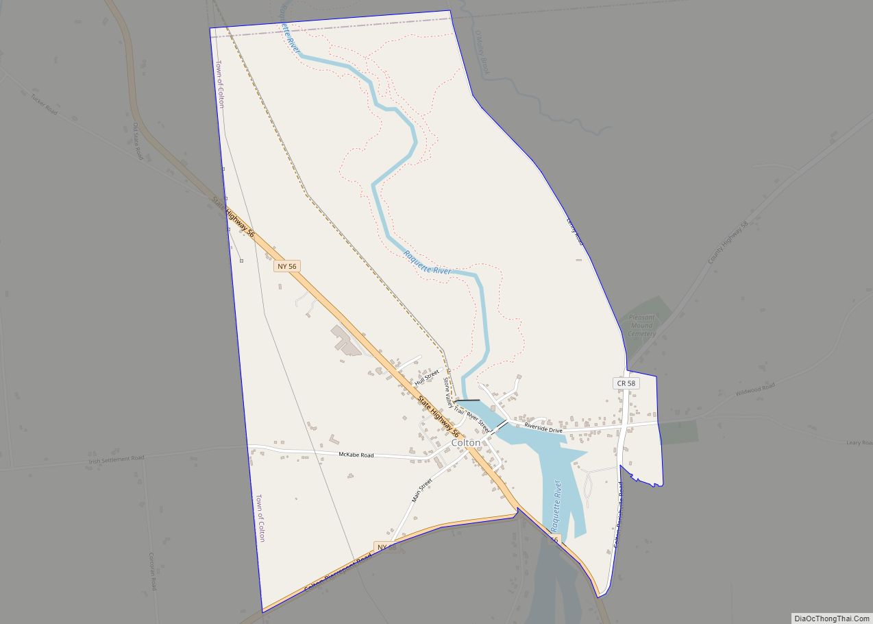
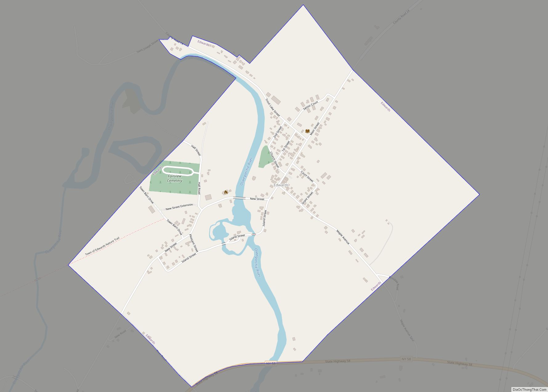
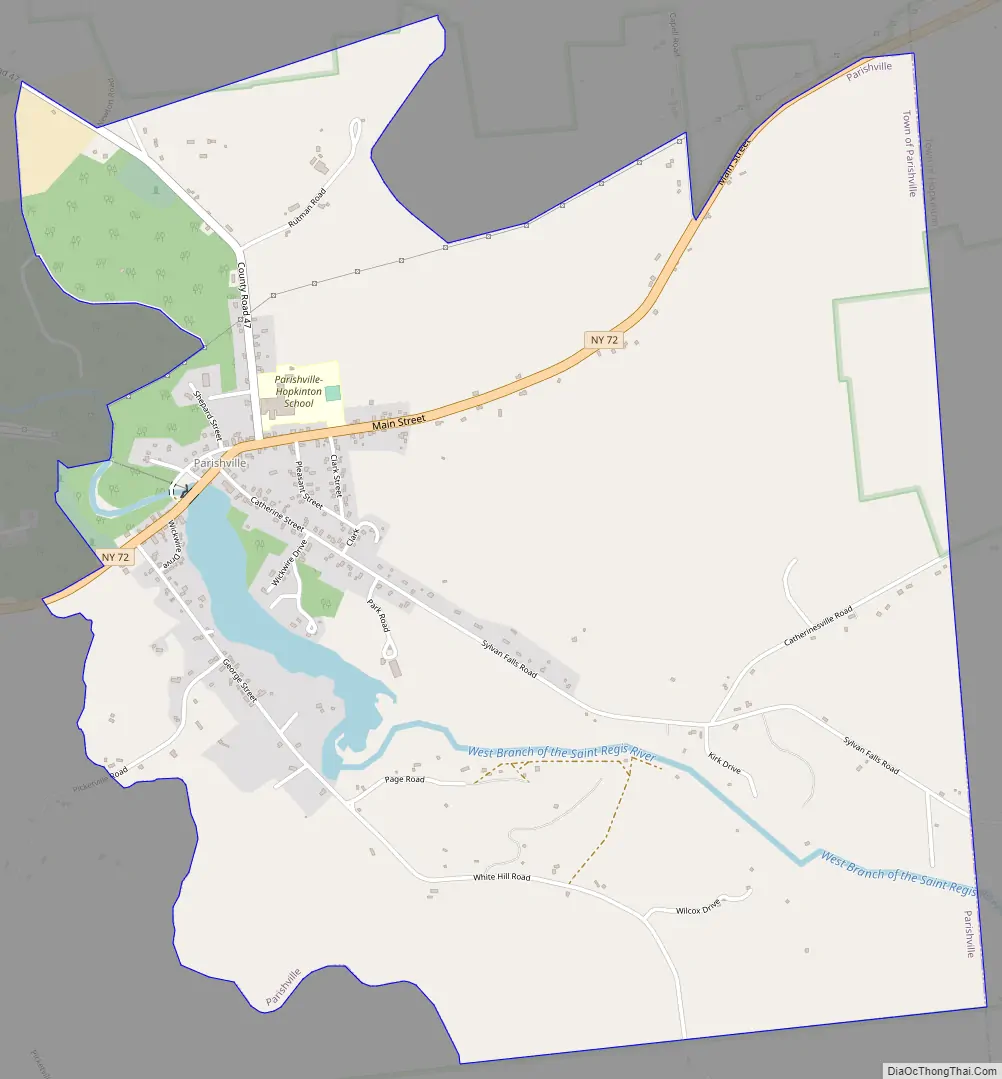
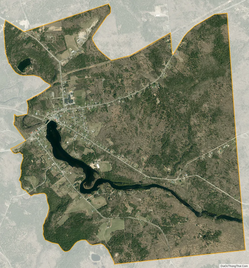
Parishville is the primary hamlet and a census-designated place (CDP) in the town of Parishville in St. Lawrence County, New York, United States. As of the 2010 census, it had a population of 647, out of 2,153 in the entire town of Parishville.
The community is in eastern St. Lawrence County, on the eastern side of the town of Parishville. The eastern edge of the CDP is the town border with Hopkinton. New York State Route 72 runs through Parishville, leading northeast 7 miles (11 km) to State Route 11B in Hopkinton and northwest 10 miles (16 km) to Potsdam.
The West Branch of the St. Regis River passes through the community, dropping over a dam in the center of the village and falling 130 feet (40 m) in elevation in less than one mile as it continues to Allen Falls Reservoir downstream. The West Branch joins the St. Regis River at Winthrop and is part of the St. Lawrence River watershed.
| Name: | Parishville CDP |
|---|---|
| LSAD Code: | 57 |
| LSAD Description: | CDP (suffix) |
| State: | New York |
| County: | St. Lawrence County |
| Elevation: | 903 ft (275 m) |
| Total Area: | 3.36 sq mi (8.70 km²) |
| Land Area: | 3.29 sq mi (8.53 km²) |
| Water Area: | 0.07 sq mi (0.17 km²) |
| Total Population: | 642 |
| Population Density: | 194.96/sq mi (75.27/km²) |
| ZIP code: | 13672 (Parishville) 13676 (Potsdam) |
| Area code: | 315/680 |
| FIPS code: | 3656363 |
| GNISfeature ID: | 2627949 |
Online Interactive Map
Click on ![]() to view map in "full screen" mode.
to view map in "full screen" mode.
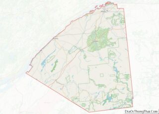
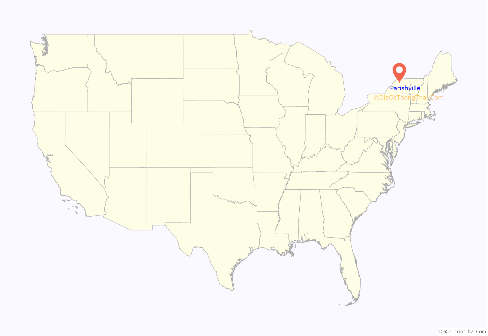
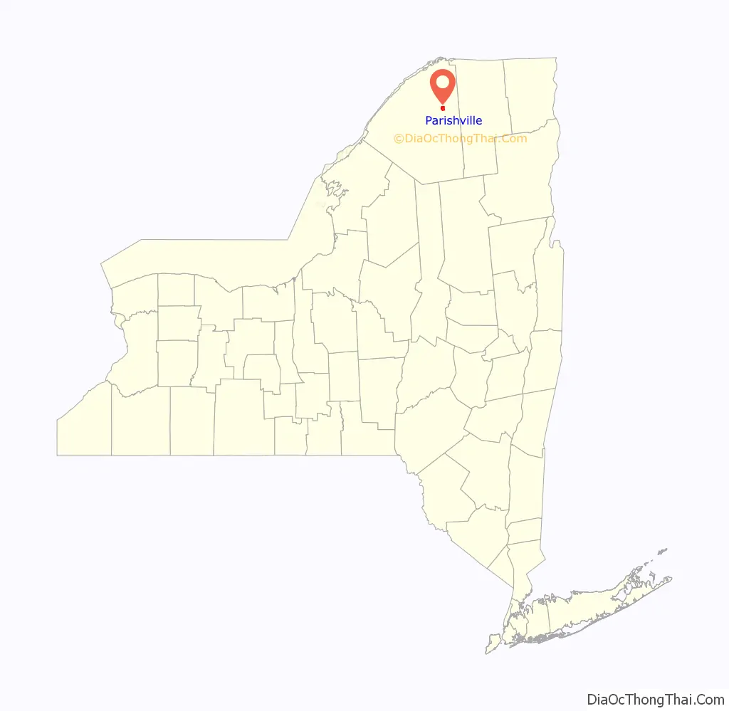
Parishville location map. Where is Parishville CDP?
Parishville Road Map
Parishville city Satellite Map
See also
Map of New York State and its subdivision:- Albany
- Allegany
- Bronx
- Broome
- Cattaraugus
- Cayuga
- Chautauqua
- Chemung
- Chenango
- Clinton
- Columbia
- Cortland
- Delaware
- Dutchess
- Erie
- Essex
- Franklin
- Fulton
- Genesee
- Greene
- Hamilton
- Herkimer
- Jefferson
- Kings
- Lake Ontario
- Lewis
- Livingston
- Madison
- Monroe
- Montgomery
- Nassau
- New York
- Niagara
- Oneida
- Onondaga
- Ontario
- Orange
- Orleans
- Oswego
- Otsego
- Putnam
- Queens
- Rensselaer
- Richmond
- Rockland
- Saint Lawrence
- Saratoga
- Schenectady
- Schoharie
- Schuyler
- Seneca
- Steuben
- Suffolk
- Sullivan
- Tioga
- Tompkins
- Ulster
- Warren
- Washington
- Wayne
- Westchester
- Wyoming
- Yates
- Alabama
- Alaska
- Arizona
- Arkansas
- California
- Colorado
- Connecticut
- Delaware
- District of Columbia
- Florida
- Georgia
- Hawaii
- Idaho
- Illinois
- Indiana
- Iowa
- Kansas
- Kentucky
- Louisiana
- Maine
- Maryland
- Massachusetts
- Michigan
- Minnesota
- Mississippi
- Missouri
- Montana
- Nebraska
- Nevada
- New Hampshire
- New Jersey
- New Mexico
- New York
- North Carolina
- North Dakota
- Ohio
- Oklahoma
- Oregon
- Pennsylvania
- Rhode Island
- South Carolina
- South Dakota
- Tennessee
- Texas
- Utah
- Vermont
- Virginia
- Washington
- West Virginia
- Wisconsin
- Wyoming