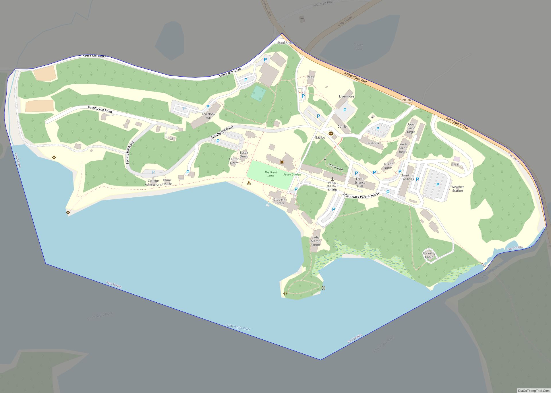
Paul Smiths is a hamlet and census-designated place (CDP) in the Town of Brighton in Franklin County, New York, United States. It is located on Lower Saint Regis Lake in the Adirondacks, 12 miles (19 km) northwest of Saranac Lake, located at 44°26′ North 74°15′ West. The population of the CDP was 671 at the 2010 census.
| Name: | Paul Smiths CDP |
|---|---|
| LSAD Code: | 57 |
| LSAD Description: | CDP (suffix) |
| State: | New York |
| County: | Franklin County |
| Elevation: | 1,600 ft (500 m) |
| Total Area: | 0.39 sq mi (1.02 km²) |
| Land Area: | 0.26 sq mi (0.67 km²) |
| Water Area: | 0.14 sq mi (0.35 km²) |
| Total Population: | 411 |
| Population Density: | 1,599.22/sq mi (616.41/km²) |
| ZIP code: | 12970 |
| Area code: | 518 |
| FIPS code: | 3656770 |
| GNISfeature ID: | 970460 |
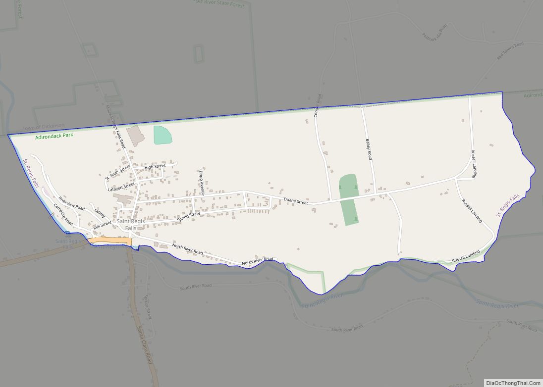
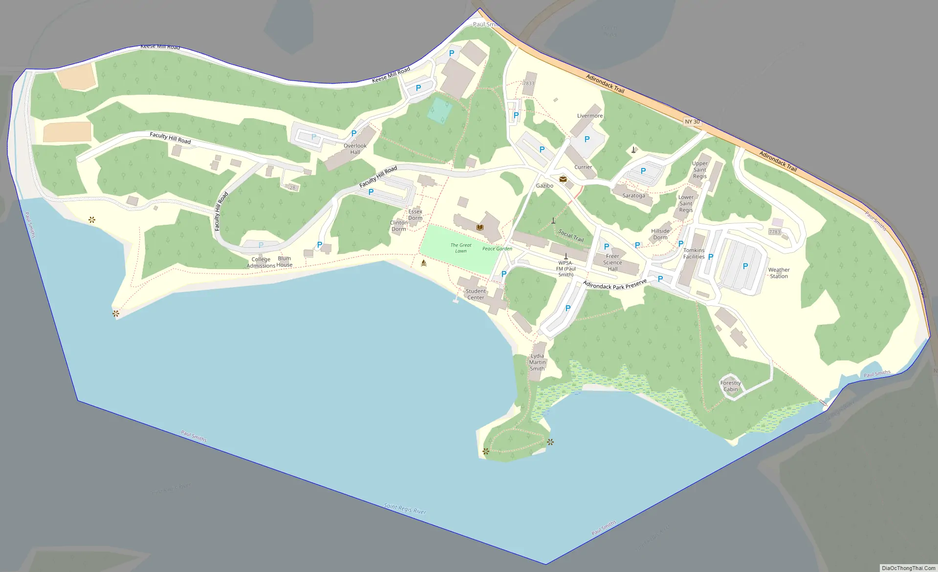
Online Interactive Map
Click on ![]() to view map in "full screen" mode.
to view map in "full screen" mode.
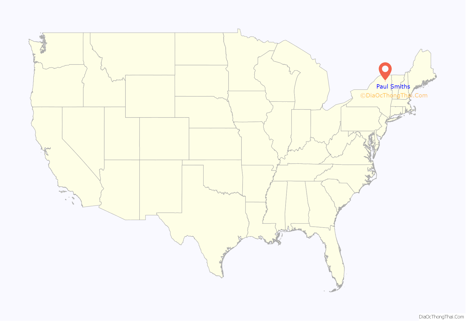
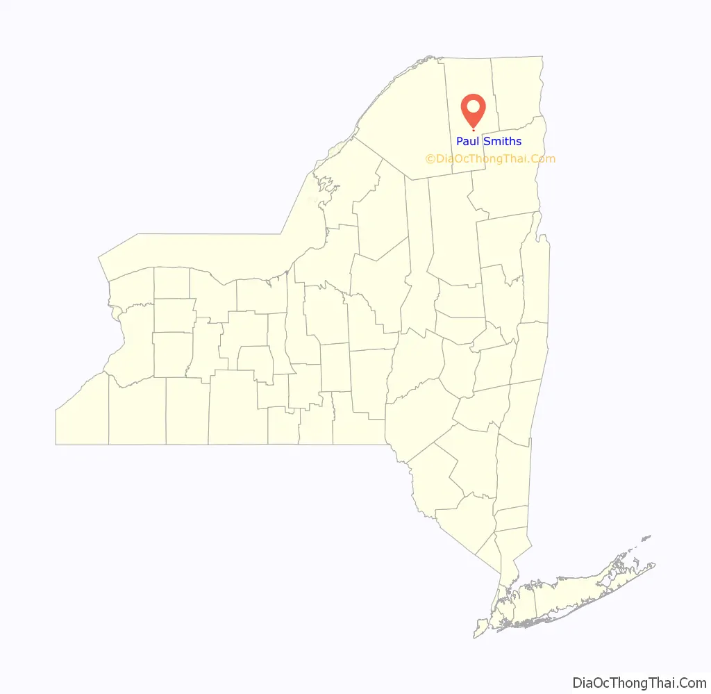
Paul Smiths location map. Where is Paul Smiths CDP?
History
The hamlet was named after the Paul Smith’s Hotel (formally known as the Saint Regis House), founded in 1859 by Apollos “Paul” Smith as one of the first wilderness resorts in the Adirondacks. Paul Smith’s College was built on the site of the hotel after the hotel burned down in 1930. It was funded by the estate of Smith’s son Phelps, who died in 1937. It is the locale of Osgood Pond, home of historic Northbrook Lodge, listed on the National Register of Historic Places in 2014, and of White Pine Camp, the Summer Whitehouse of President Calvin Coolidge.
Paul Smiths Road Map
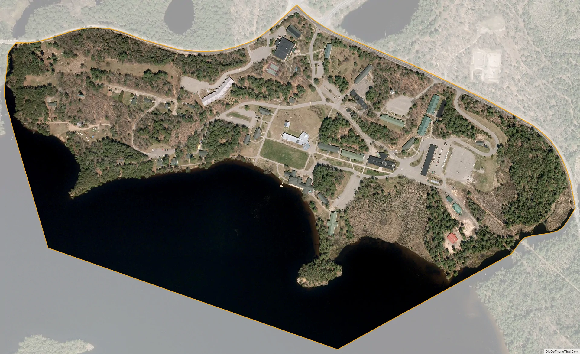
Paul Smiths city Satellite Map
Geography
Paul Smiths is located in the southern part of the Town of Brighton, between Lower St. Regis Lake to the south and Osgood Pond to the north. It is in southern Franklin County. The CDP limits correspond to the campus of Paul Smith’s College.
New York State Route 30 passes Paul Smiths, leading north 32 miles (51 km) to Malone, the Franklin County seat, and south 26 miles (42 km) to Tupper Lake. New York State Route 86 begins at Paul Smiths and leads 12 miles (19 km) southeast to Saranac Lake village.
According to the U.S. Census Bureau, the Paul Smiths CDP has a total area of 0.39 square miles (1.01 km), of which 0.25 square miles (0.66 km) is land and 0.14 square miles (0.35 km), or 34.63%, is water, consisting of part of Lower St. Regis Lake.
See also
Map of New York State and its subdivision:- Albany
- Allegany
- Bronx
- Broome
- Cattaraugus
- Cayuga
- Chautauqua
- Chemung
- Chenango
- Clinton
- Columbia
- Cortland
- Delaware
- Dutchess
- Erie
- Essex
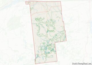
- Franklin
- Fulton
- Genesee
- Greene
- Hamilton
- Herkimer
- Jefferson
- Kings
- Lake Ontario
- Lewis
- Livingston
- Madison
- Monroe
- Montgomery
- Nassau
- New York
- Niagara
- Oneida
- Onondaga
- Ontario
- Orange
- Orleans
- Oswego
- Otsego
- Putnam
- Queens
- Rensselaer
- Richmond
- Rockland
- Saint Lawrence
- Saratoga
- Schenectady
- Schoharie
- Schuyler
- Seneca
- Steuben
- Suffolk
- Sullivan
- Tioga
- Tompkins
- Ulster
- Warren
- Washington
- Wayne
- Westchester
- Wyoming
- Yates
- Alabama
- Alaska
- Arizona
- Arkansas
- California
- Colorado
- Connecticut
- Delaware
- District of Columbia
- Florida
- Georgia
- Hawaii
- Idaho
- Illinois
- Indiana
- Iowa
- Kansas
- Kentucky
- Louisiana
- Maine
- Maryland
- Massachusetts
- Michigan
- Minnesota
- Mississippi
- Missouri
- Montana
- Nebraska
- Nevada
- New Hampshire
- New Jersey
- New Mexico
- New York
- North Carolina
- North Dakota
- Ohio
- Oklahoma
- Oregon
- Pennsylvania
- Rhode Island
- South Carolina
- South Dakota
- Tennessee
- Texas
- Utah
- Vermont
- Virginia
- Washington
- West Virginia
- Wisconsin
- Wyoming