Pine Valley is a hamlet and census-designated place in the towns of Catlin and Veteran in Chemung County, New York, United States. The population was 813 at the 2010 census.
| Name: | Pine Valley CDP |
|---|---|
| LSAD Code: | 57 |
| LSAD Description: | CDP (suffix) |
| State: | New York |
| County: | Chemung County |
| Elevation: | 930 ft (280 m) |
| Total Area: | 1.22 sq mi (3.15 km²) |
| Land Area: | 1.20 sq mi (3.12 km²) |
| Water Area: | 0.01 sq mi (0.04 km²) |
| Total Population: | 832 |
| Population Density: | 691.03/sq mi (266.74/km²) |
| ZIP code: | 14872 |
| Area code: | 607 |
| FIPS code: | 3658189 |
| GNISfeature ID: | 960559 |
Online Interactive Map
Click on ![]() to view map in "full screen" mode.
to view map in "full screen" mode.
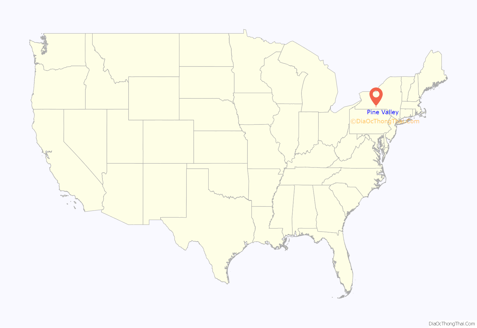
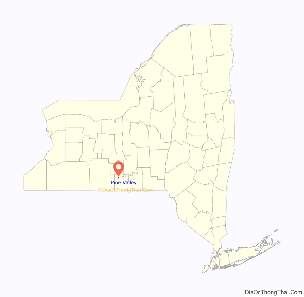
Pine Valley location map. Where is Pine Valley CDP?
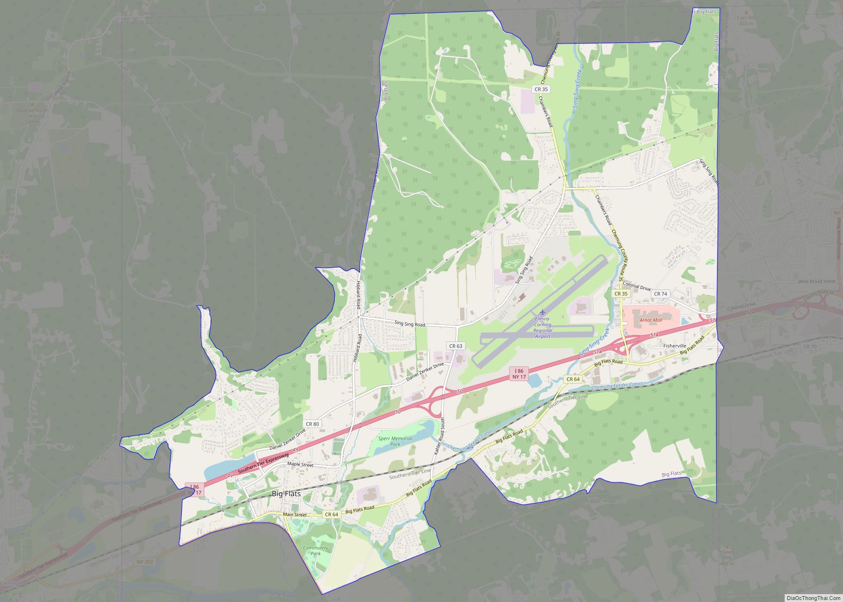
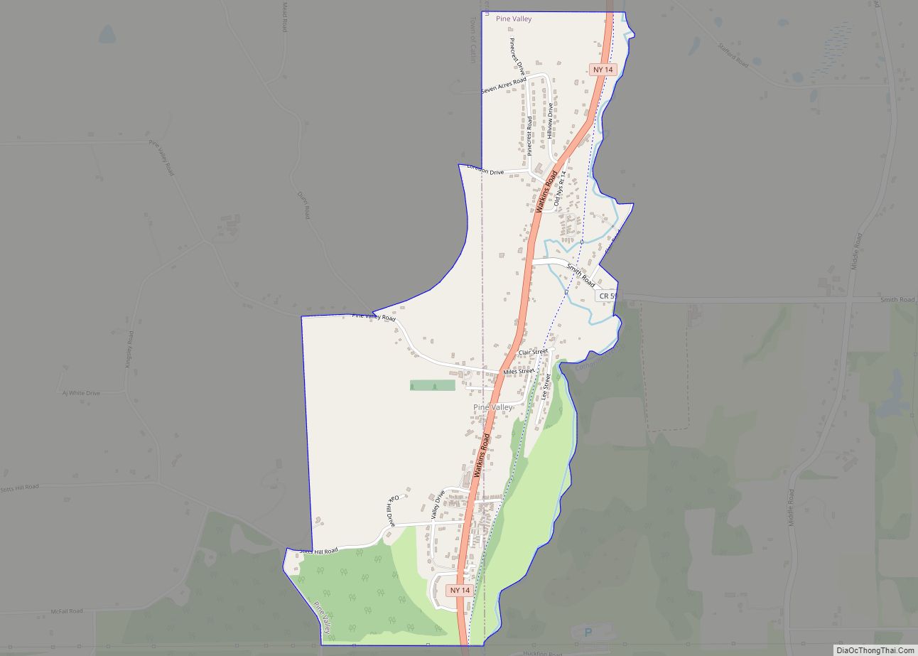
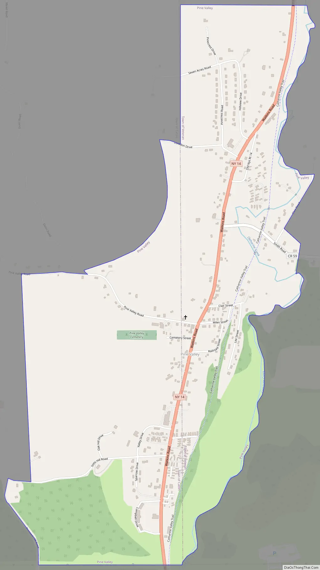
Pine Valley Road Map
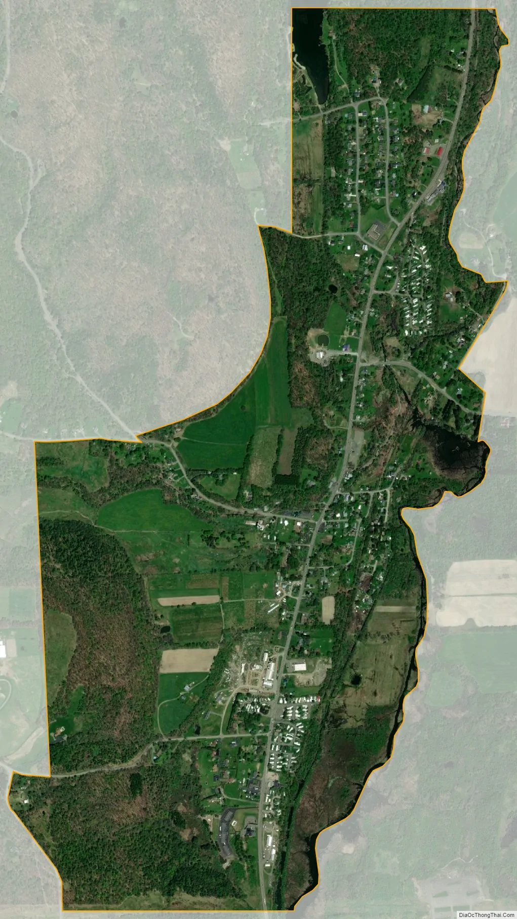
Pine Valley city Satellite Map
Geography
Pine Valley is located in northwestern Chemung County on the border of the towns of Catlin (to the west) and Veteran (to the east). It is on the west side of the valley of Catharine Creek, a northward-flowing tributary of Seneca Lake, one of the Finger Lakes. New York State Route 14 passes through the center of Pine Valley, leading south 4 miles (6 km) to Horseheads and 10 miles (16 km) to downtown Elmira. To the north Route 14 leads 9 miles (14 km) to Montour Falls and 12 miles (19 km) to Watkins Glen.
According to the United States Census Bureau, the Pine Valley CDP has a total area of 1.22 square miles (3.15 km), of which 1.20 square miles (3.12 km) is land and 0.02 square miles (0.04 km), or 1.12%, is water.
See also
Map of New York State and its subdivision:- Albany
- Allegany
- Bronx
- Broome
- Cattaraugus
- Cayuga
- Chautauqua
- Chemung
- Chenango
- Clinton
- Columbia
- Cortland
- Delaware
- Dutchess
- Erie
- Essex
- Franklin
- Fulton
- Genesee
- Greene
- Hamilton
- Herkimer
- Jefferson
- Kings
- Lake Ontario
- Lewis
- Livingston
- Madison
- Monroe
- Montgomery
- Nassau
- New York
- Niagara
- Oneida
- Onondaga
- Ontario
- Orange
- Orleans
- Oswego
- Otsego
- Putnam
- Queens
- Rensselaer
- Richmond
- Rockland
- Saint Lawrence
- Saratoga
- Schenectady
- Schoharie
- Schuyler
- Seneca
- Steuben
- Suffolk
- Sullivan
- Tioga
- Tompkins
- Ulster
- Warren
- Washington
- Wayne
- Westchester
- Wyoming
- Yates
- Alabama
- Alaska
- Arizona
- Arkansas
- California
- Colorado
- Connecticut
- Delaware
- District of Columbia
- Florida
- Georgia
- Hawaii
- Idaho
- Illinois
- Indiana
- Iowa
- Kansas
- Kentucky
- Louisiana
- Maine
- Maryland
- Massachusetts
- Michigan
- Minnesota
- Mississippi
- Missouri
- Montana
- Nebraska
- Nevada
- New Hampshire
- New Jersey
- New Mexico
- New York
- North Carolina
- North Dakota
- Ohio
- Oklahoma
- Oregon
- Pennsylvania
- Rhode Island
- South Carolina
- South Dakota
- Tennessee
- Texas
- Utah
- Vermont
- Virginia
- Washington
- West Virginia
- Wisconsin
- Wyoming