Plattsburgh West is a census-designated place (CDP) and region of the town of Plattsburgh in Clinton County, New York, United States. The population was 1,364 at the 2010 census. The CDP lies to the west of the city of Plattsburgh.
| Name: | Plattsburgh West CDP |
|---|---|
| LSAD Code: | 57 |
| LSAD Description: | CDP (suffix) |
| State: | New York |
| County: | Clinton County |
| Elevation: | 323 ft (98 m) |
| Total Area: | 1.95 sq mi (5.05 km²) |
| Land Area: | 1.90 sq mi (4.91 km²) |
| Water Area: | 0.06 sq mi (0.14 km²) |
| Total Population: | 1,382 |
| Population Density: | 729.29/sq mi (281.60/km²) |
| FIPS code: | 3658601 |
Online Interactive Map
Click on ![]() to view map in "full screen" mode.
to view map in "full screen" mode.
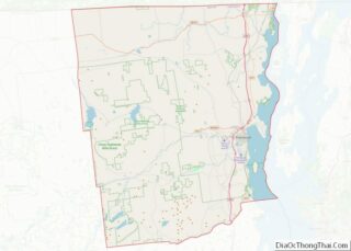
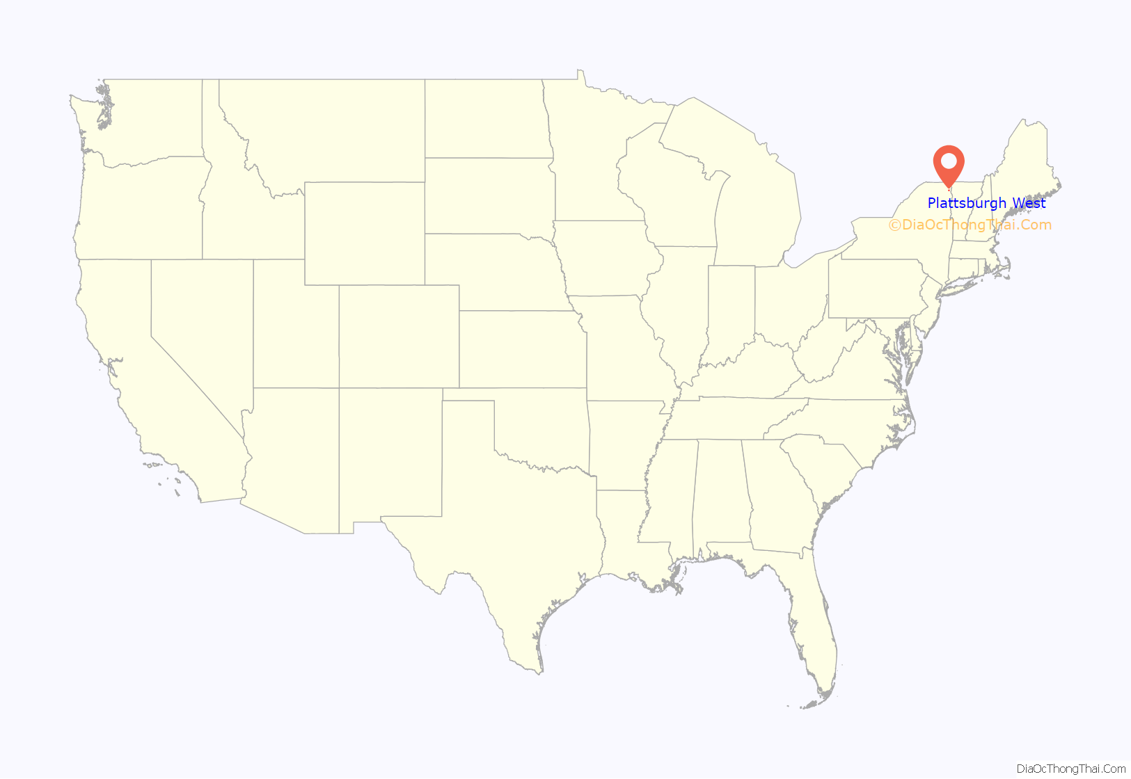
Plattsburgh West location map. Where is Plattsburgh West CDP?
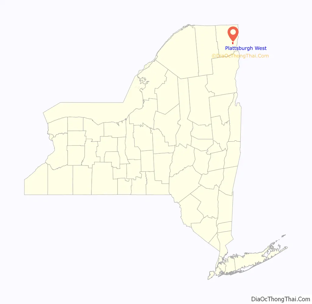
Plattsburgh West Road Map
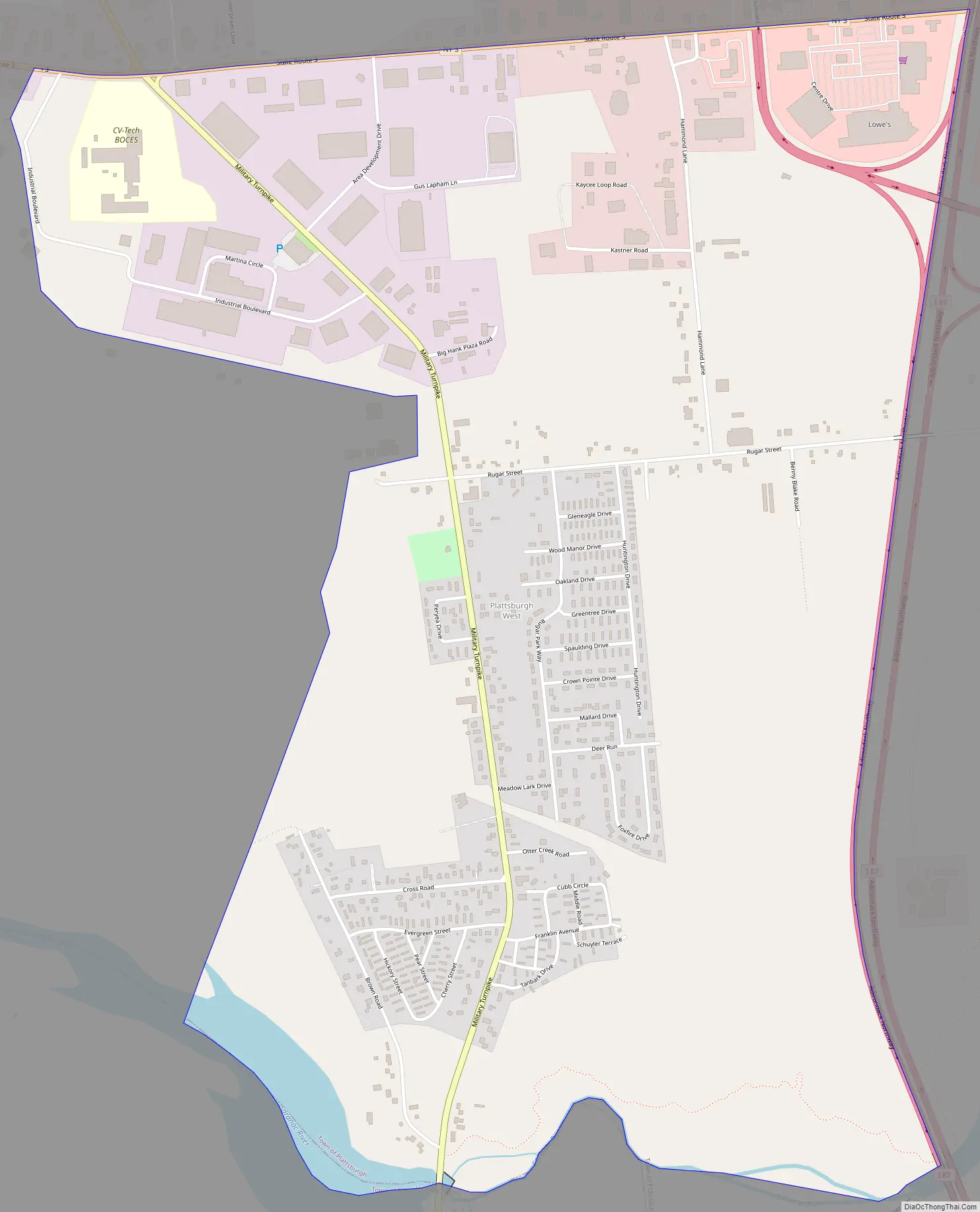
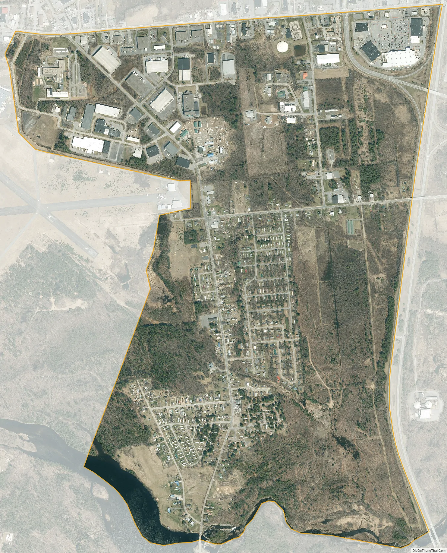
Plattsburgh West city Satellite Map
Geography
Plattsburgh West is located at 44°40′50″N 73°30′9″W / 44.68056°N 73.50250°W / 44.68056; -73.50250 (44.680513, -73.502626). It is bordered to the north by New York State Route 3, to the east by Interstate 87 (the Adirondack Northway), to the south by the Saranac River, and to the west by the former Clinton County Airport. Part of the southern border along the Saranac River is the municipal border between the towns of Plattsburgh and Schuyler Falls.
The area is served by Exit 37 of Interstate 87. The highway leads north 63 miles (101 km) to Montreal (via Quebec Autoroute 15), and south 158 miles (254 km) to Albany.
According to the United States Census Bureau, the CDP has a total area of 1.8 square miles (4.7 km), of which 1.8 square miles (4.6 km) is land and 0.04 square miles (0.1 km), or 3.00%, is water.
See also
Map of New York State and its subdivision:- Albany
- Allegany
- Bronx
- Broome
- Cattaraugus
- Cayuga
- Chautauqua
- Chemung
- Chenango
- Clinton
- Columbia
- Cortland
- Delaware
- Dutchess
- Erie
- Essex
- Franklin
- Fulton
- Genesee
- Greene
- Hamilton
- Herkimer
- Jefferson
- Kings
- Lake Ontario
- Lewis
- Livingston
- Madison
- Monroe
- Montgomery
- Nassau
- New York
- Niagara
- Oneida
- Onondaga
- Ontario
- Orange
- Orleans
- Oswego
- Otsego
- Putnam
- Queens
- Rensselaer
- Richmond
- Rockland
- Saint Lawrence
- Saratoga
- Schenectady
- Schoharie
- Schuyler
- Seneca
- Steuben
- Suffolk
- Sullivan
- Tioga
- Tompkins
- Ulster
- Warren
- Washington
- Wayne
- Westchester
- Wyoming
- Yates
- Alabama
- Alaska
- Arizona
- Arkansas
- California
- Colorado
- Connecticut
- Delaware
- District of Columbia
- Florida
- Georgia
- Hawaii
- Idaho
- Illinois
- Indiana
- Iowa
- Kansas
- Kentucky
- Louisiana
- Maine
- Maryland
- Massachusetts
- Michigan
- Minnesota
- Mississippi
- Missouri
- Montana
- Nebraska
- Nevada
- New Hampshire
- New Jersey
- New Mexico
- New York
- North Carolina
- North Dakota
- Ohio
- Oklahoma
- Oregon
- Pennsylvania
- Rhode Island
- South Carolina
- South Dakota
- Tennessee
- Texas
- Utah
- Vermont
- Virginia
- Washington
- West Virginia
- Wisconsin
- Wyoming