Port Byron is a village in Cayuga County, New York, United States. The population was 1,290 at the 2010 census. It is in the town of Mentz and is north of Auburn.
| Name: | Port Byron village |
|---|---|
| LSAD Code: | 47 |
| LSAD Description: | village (suffix) |
| State: | New York |
| County: | Cayuga County |
| Elevation: | 407 ft (124 m) |
| Total Area: | 0.94 sq mi (2.43 km²) |
| Land Area: | 0.91 sq mi (2.36 km²) |
| Water Area: | 0.03 sq mi (0.07 km²) |
| Total Population: | 1,101 |
| Population Density: | 1,207.24/sq mi (466.17/km²) |
| ZIP code: | 13140 |
| Area code: | 315 |
| FIPS code: | 3659212 |
| GNISfeature ID: | 0960960 |
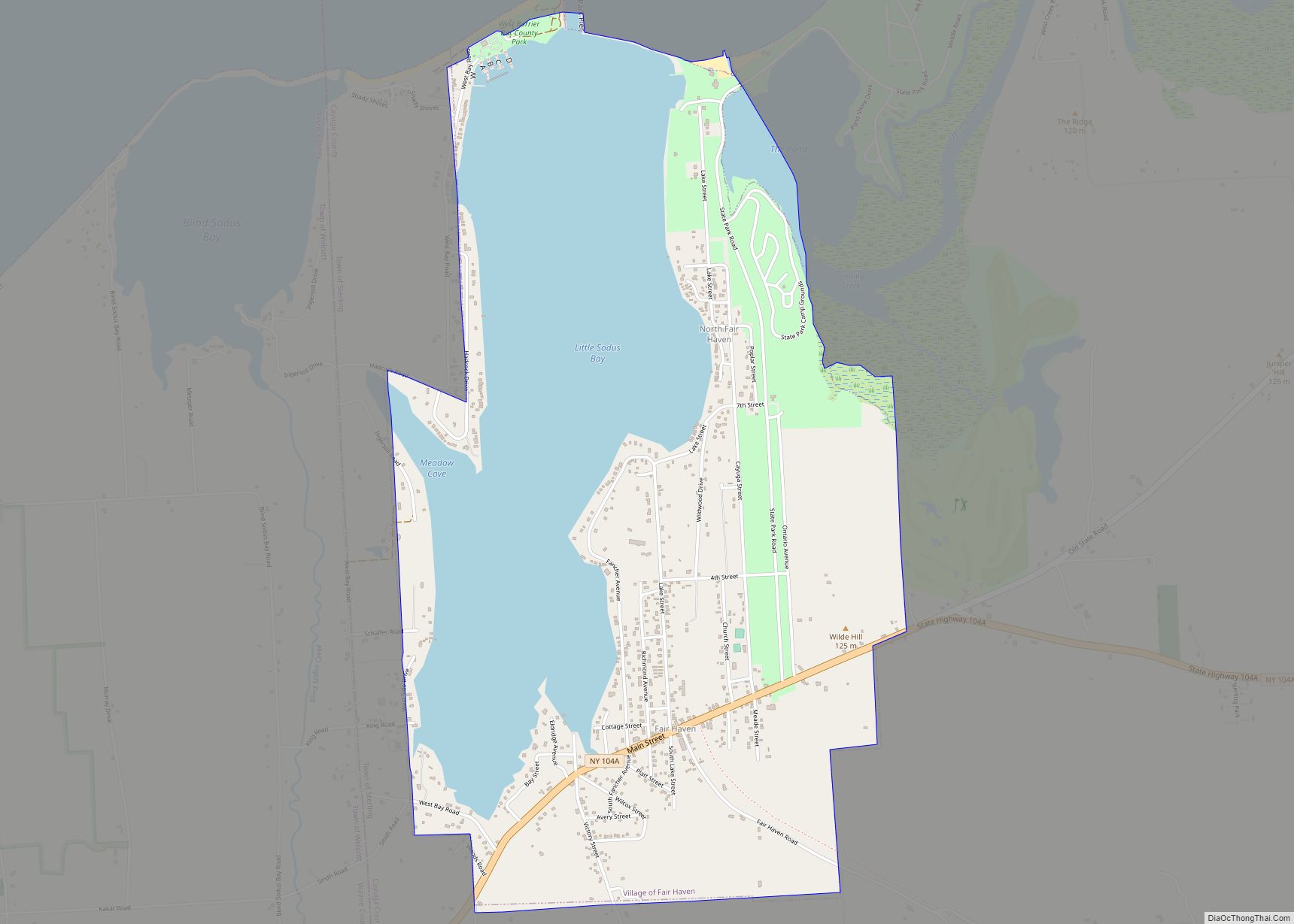
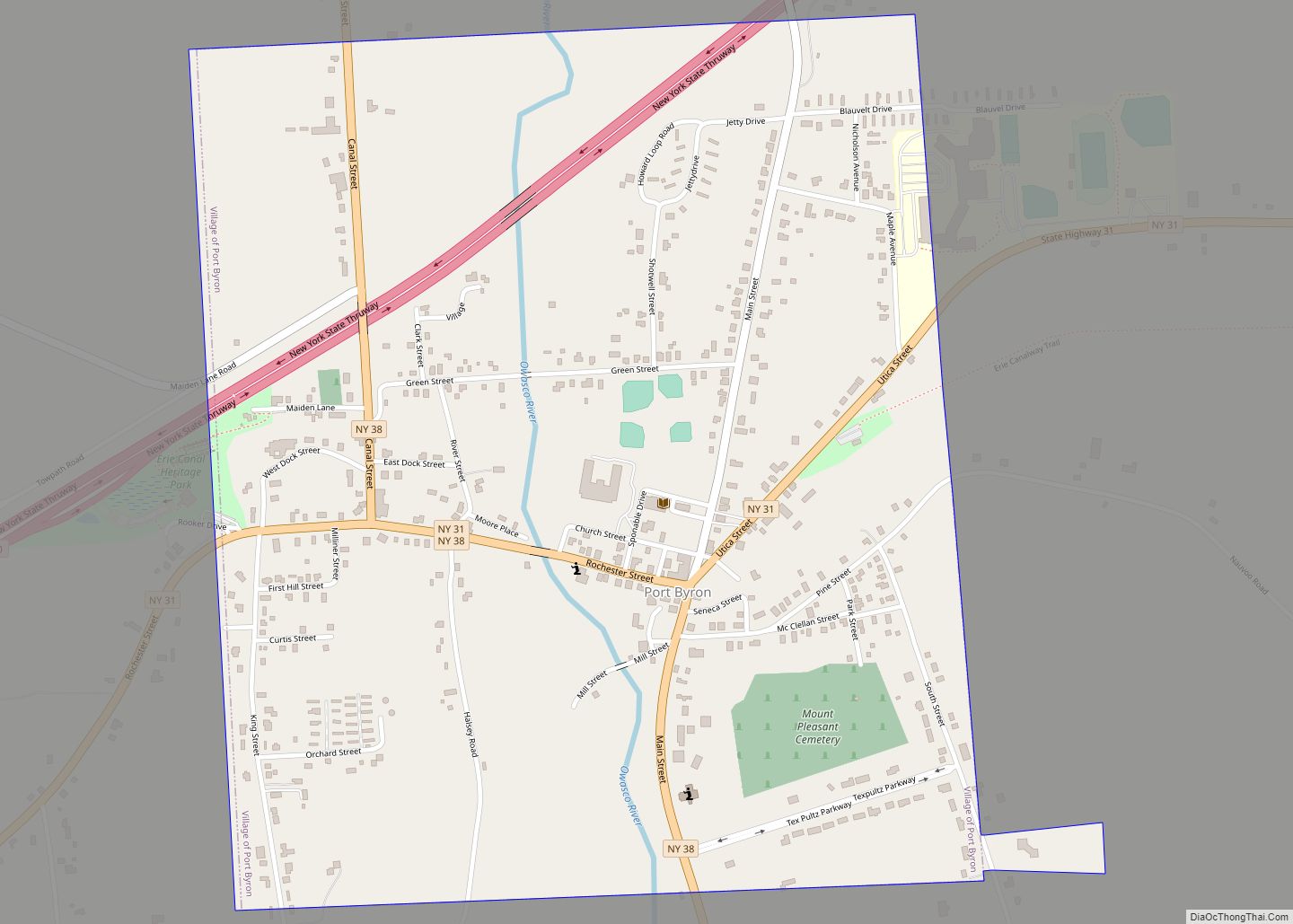
Online Interactive Map
Click on ![]() to view map in "full screen" mode.
to view map in "full screen" mode.
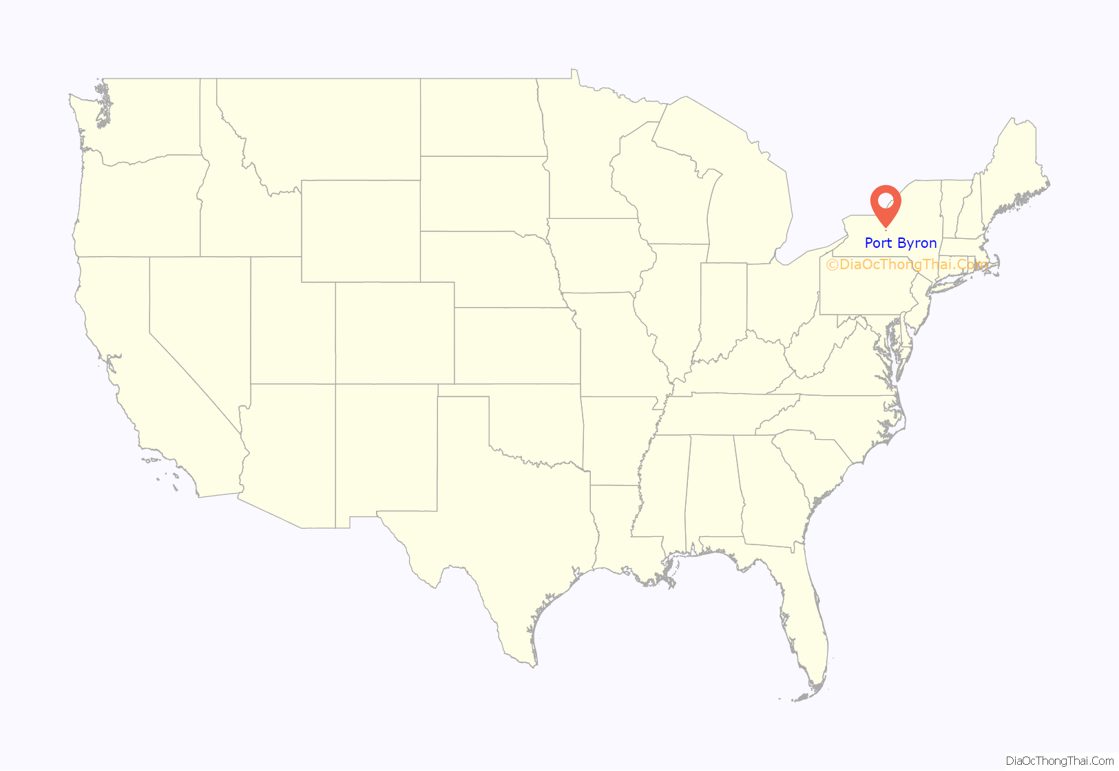
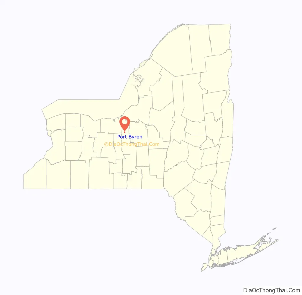
Port Byron location map. Where is Port Byron village?
History
Settlers began arriving around 1797. Originally known as “King’s Settlement”, then Bucksville, finally, the name was changed to Port Byron in 1825 as it became a port on the Erie Canal. It has been suggested that the new name may have been chosen in reference to Lord Byron, the English romantic poet who had died the previous year, however there is no definitive proof of this. Later, when the canal route was changed in 1856, the village was a railroad town. The village was incorporated in 1837.
The Erie Canal Lock 52 Complex was listed on the National Register of Historic Places in 1998. The New York Central Railroad named a Sleeper car after the town.
Port Byron Road Map
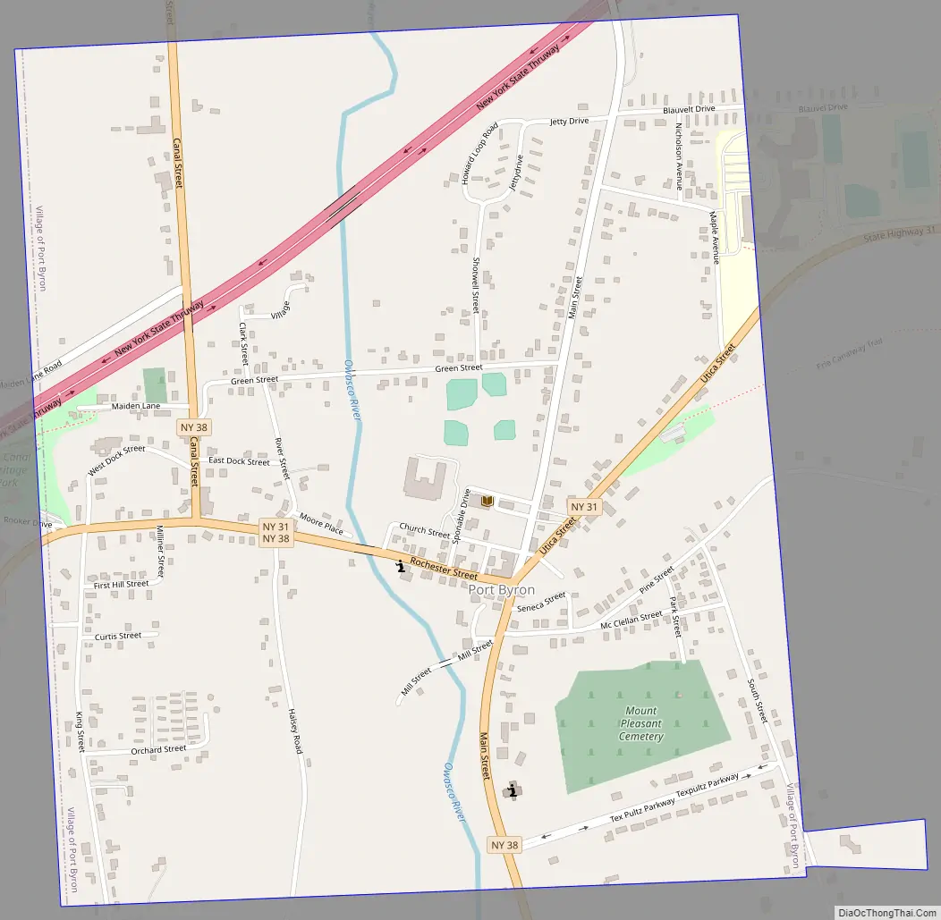
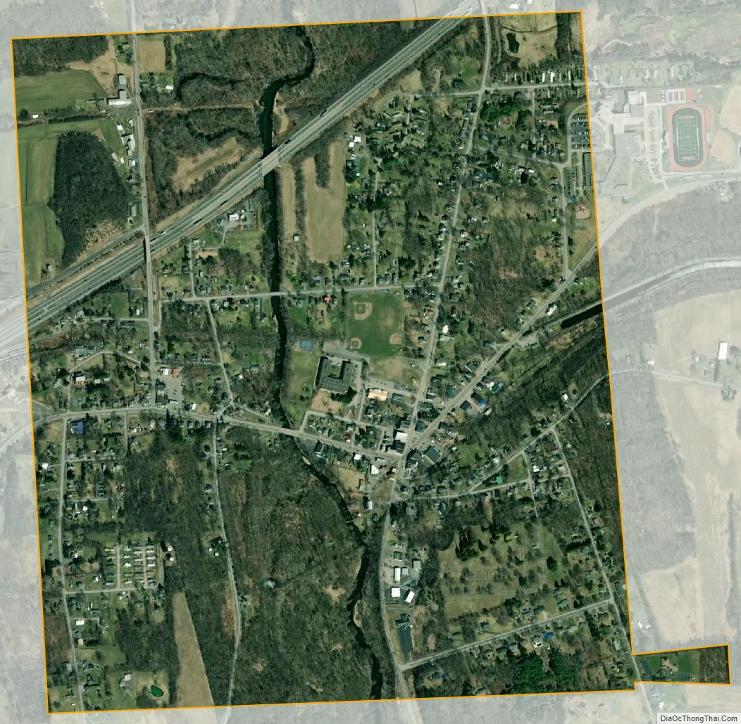
Port Byron city Satellite Map
Geography
Port Byron is located at 43°2′N 76°38′W / 43.033°N 76.633°W / 43.033; -76.633 (43.0368, -76.6254). According to the United States Census Bureau, the village has a total area of 1.01 square miles (2.61 km), of which 0.98 square miles (2.54 km) is land and 0.031 square miles (0.08 km), or 2.91%, is water.
The village is at the junction of Routes 31 and 38. The New York State Thruway passes through the northwest corner of the village but with no direct access. The Owasco Outlet flows northward from Owasco Lake to the Seneca River through the village. It provided substantial water power to the early village.
See also
Map of New York State and its subdivision:- Albany
- Allegany
- Bronx
- Broome
- Cattaraugus
- Cayuga
- Chautauqua
- Chemung
- Chenango
- Clinton
- Columbia
- Cortland
- Delaware
- Dutchess
- Erie
- Essex
- Franklin
- Fulton
- Genesee
- Greene
- Hamilton
- Herkimer
- Jefferson
- Kings
- Lake Ontario
- Lewis
- Livingston
- Madison
- Monroe
- Montgomery
- Nassau
- New York
- Niagara
- Oneida
- Onondaga
- Ontario
- Orange
- Orleans
- Oswego
- Otsego
- Putnam
- Queens
- Rensselaer
- Richmond
- Rockland
- Saint Lawrence
- Saratoga
- Schenectady
- Schoharie
- Schuyler
- Seneca
- Steuben
- Suffolk
- Sullivan
- Tioga
- Tompkins
- Ulster
- Warren
- Washington
- Wayne
- Westchester
- Wyoming
- Yates
- Alabama
- Alaska
- Arizona
- Arkansas
- California
- Colorado
- Connecticut
- Delaware
- District of Columbia
- Florida
- Georgia
- Hawaii
- Idaho
- Illinois
- Indiana
- Iowa
- Kansas
- Kentucky
- Louisiana
- Maine
- Maryland
- Massachusetts
- Michigan
- Minnesota
- Mississippi
- Missouri
- Montana
- Nebraska
- Nevada
- New Hampshire
- New Jersey
- New Mexico
- New York
- North Carolina
- North Dakota
- Ohio
- Oklahoma
- Oregon
- Pennsylvania
- Rhode Island
- South Carolina
- South Dakota
- Tennessee
- Texas
- Utah
- Vermont
- Virginia
- Washington
- West Virginia
- Wisconsin
- Wyoming