Port Dickinson is a village in Broome County, New York, United States. The population was 1,641 at the 2010 census. It is part of the Binghamton Metropolitan Statistical Area.
The village lies within the town of Dickinson and is north of Binghamton.
| Name: | Port Dickinson village |
|---|---|
| LSAD Code: | 47 |
| LSAD Description: | village (suffix) |
| State: | New York |
| County: | Broome County |
| Elevation: | 863 ft (263 m) |
| Total Area: | 0.70 sq mi (1.81 km²) |
| Land Area: | 0.63 sq mi (1.62 km²) |
| Water Area: | 0.07 sq mi (0.19 km²) |
| Total Population: | 1,699 |
| Population Density: | 2,709.73/sq mi (1,046.84/km²) |
| ZIP code: | 13901 |
| Area code: | 607 |
| FIPS code: | 3659245 |
| GNISfeature ID: | 0960962 |
| Website: | www.portdickinsonny.us |
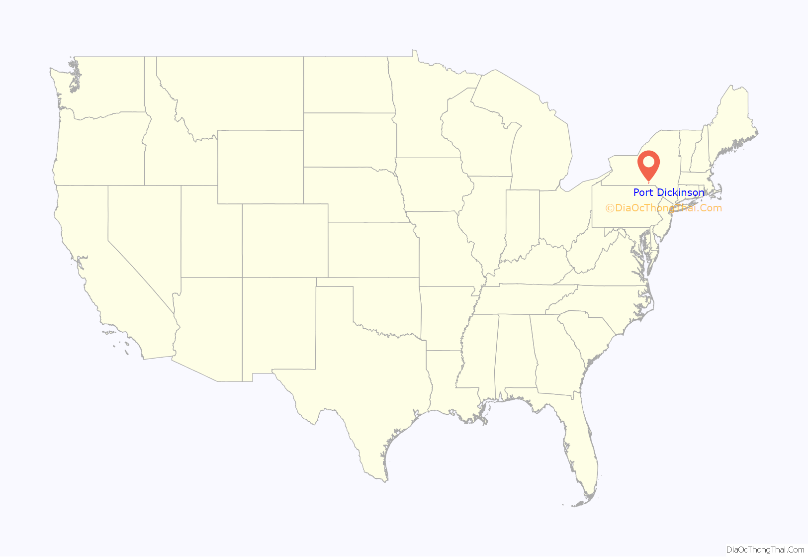
Online Interactive Map
Click on ![]() to view map in "full screen" mode.
to view map in "full screen" mode.
Port Dickinson location map. Where is Port Dickinson village?
History
The village of Port Dickinson was incorporated in 1876. It takes its name from having once been a prosperous port on the now-extinct Chenango Canal, and in honor of United States Senator Daniel S. Dickinson. It is now a residential suburb of Binghamton. Port Dickinson is the only incorporated community within the town of Dickinson.
The Bevier-Wright House was listed on the National Register of Historic Places in 2008.
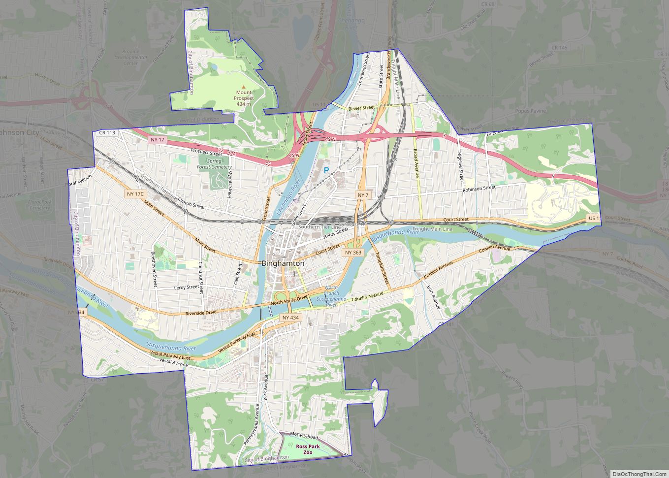
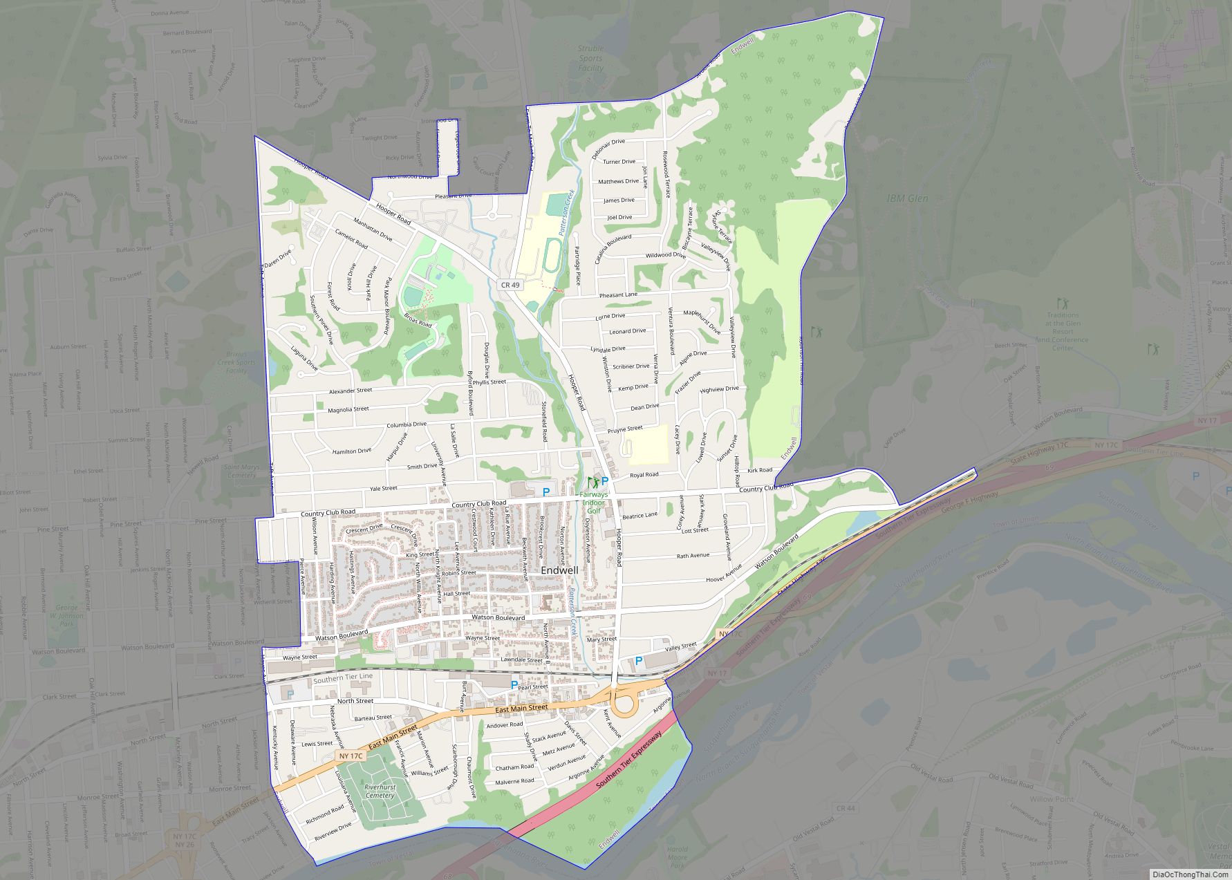
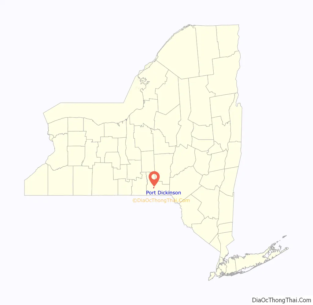
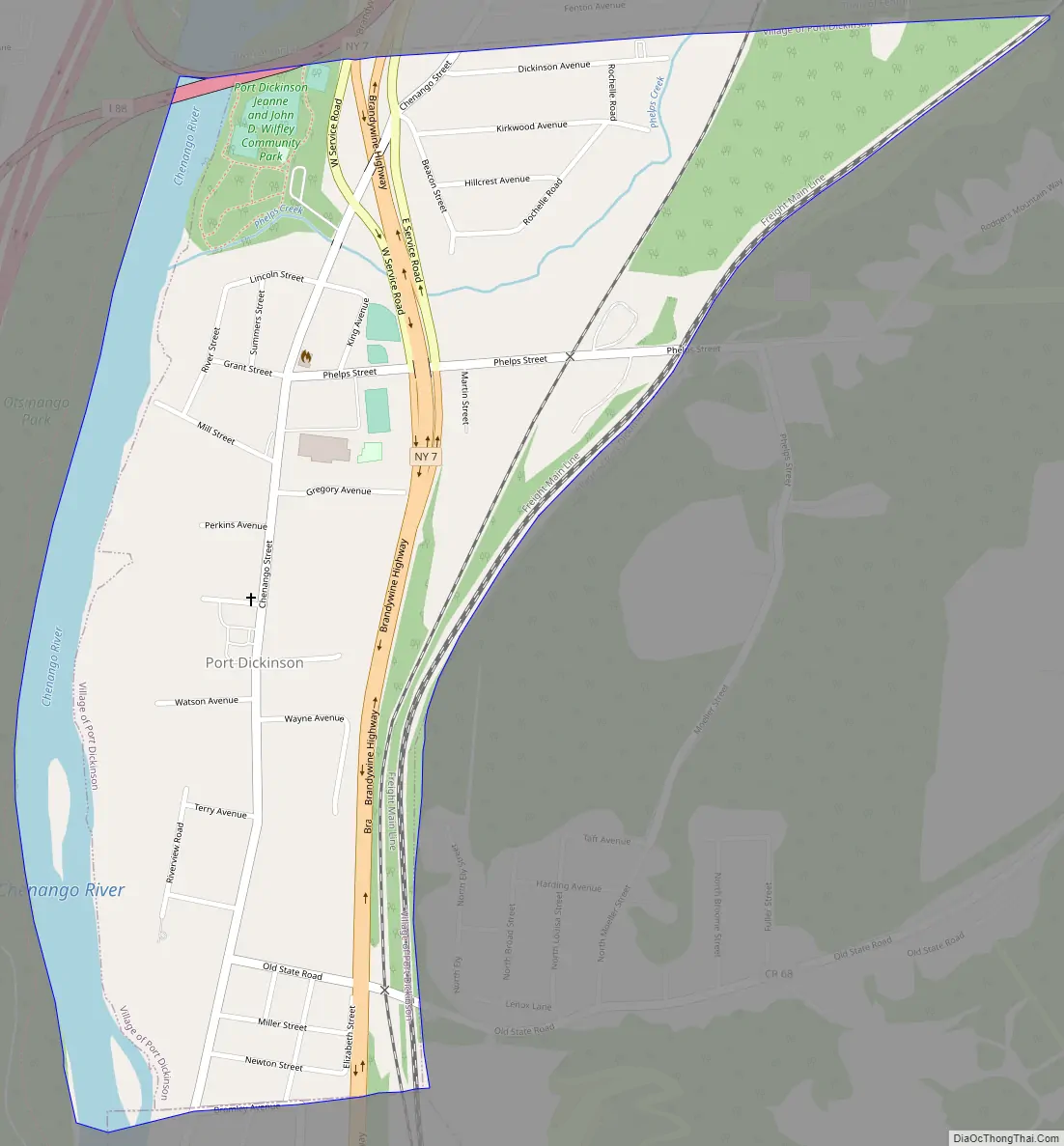
Port Dickinson Road Map
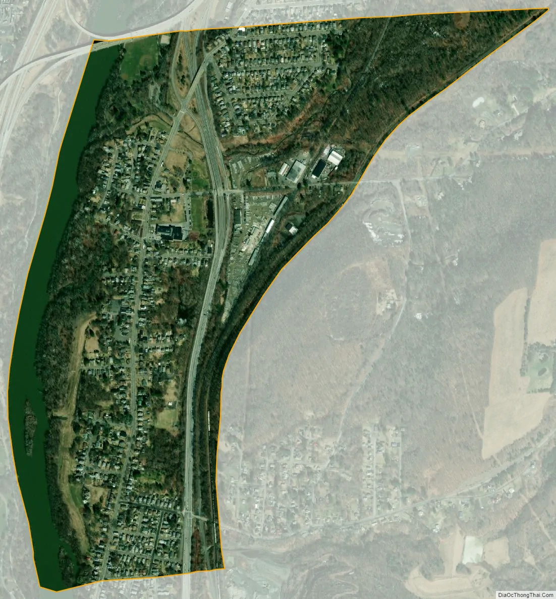
Port Dickinson city Satellite Map
Geography
Port Dickinson is located at 42°8′14″N 75°53′40″W / 42.13722°N 75.89444°W / 42.13722; -75.89444 (42.137175, -75.894321).
According to the United States Census Bureau, the village has a total area of 0.73 square miles (1.9 km), of which 0.66 square miles (1.7 km) is land and 0.077 square miles (0.2 km), or 10.92%, is water.
New York State Route 7 is a major highway through the village. Port Dickinson is near the junctions of major highways, including Interstate 81, Interstate 88, and New York State Route 17.
Adjacent towns and areas
The town of Fenton and its neighborhood of Hillcrest border Port Dickinson on the north, while the city of Binghamton borders it on the south. It is bordered on the west by the Chenango River, a tributary of the Susquehanna River, and on the east by the Canadian Pacific Railway, beyond which is additional unincorporated land in the town of Dickinson.
Flooding history
Several major floods have occurred in the area. An earth levee along the Chenango River and Phelps Creek and the channel excavation of Phelps Creek in 1943 by the US Army Corps of Engineers helped reduce the devastation that was brought on by earlier floods of the Susquehanna River basin. These floods included ones in 1810, 1865, 1889, 1894, 1935, 1936, 2006, and most recently, 2011. In 1949, the US Army Corps of Engineers excavated a 1,300-foot (400 m) pilot channel and removed foundation pilings along the Chenango River. Minor floods have occurred since then about once every 10 years, although the average length between floods is 20 years for the Chenango River in general.
See also
Map of New York State and its subdivision:- Albany
- Allegany
- Bronx
- Broome
- Cattaraugus
- Cayuga
- Chautauqua
- Chemung
- Chenango
- Clinton
- Columbia
- Cortland
- Delaware
- Dutchess
- Erie
- Essex
- Franklin
- Fulton
- Genesee
- Greene
- Hamilton
- Herkimer
- Jefferson
- Kings
- Lake Ontario
- Lewis
- Livingston
- Madison
- Monroe
- Montgomery
- Nassau
- New York
- Niagara
- Oneida
- Onondaga
- Ontario
- Orange
- Orleans
- Oswego
- Otsego
- Putnam
- Queens
- Rensselaer
- Richmond
- Rockland
- Saint Lawrence
- Saratoga
- Schenectady
- Schoharie
- Schuyler
- Seneca
- Steuben
- Suffolk
- Sullivan
- Tioga
- Tompkins
- Ulster
- Warren
- Washington
- Wayne
- Westchester
- Wyoming
- Yates
- Alabama
- Alaska
- Arizona
- Arkansas
- California
- Colorado
- Connecticut
- Delaware
- District of Columbia
- Florida
- Georgia
- Hawaii
- Idaho
- Illinois
- Indiana
- Iowa
- Kansas
- Kentucky
- Louisiana
- Maine
- Maryland
- Massachusetts
- Michigan
- Minnesota
- Mississippi
- Missouri
- Montana
- Nebraska
- Nevada
- New Hampshire
- New Jersey
- New Mexico
- New York
- North Carolina
- North Dakota
- Ohio
- Oklahoma
- Oregon
- Pennsylvania
- Rhode Island
- South Carolina
- South Dakota
- Tennessee
- Texas
- Utah
- Vermont
- Virginia
- Washington
- West Virginia
- Wisconsin
- Wyoming