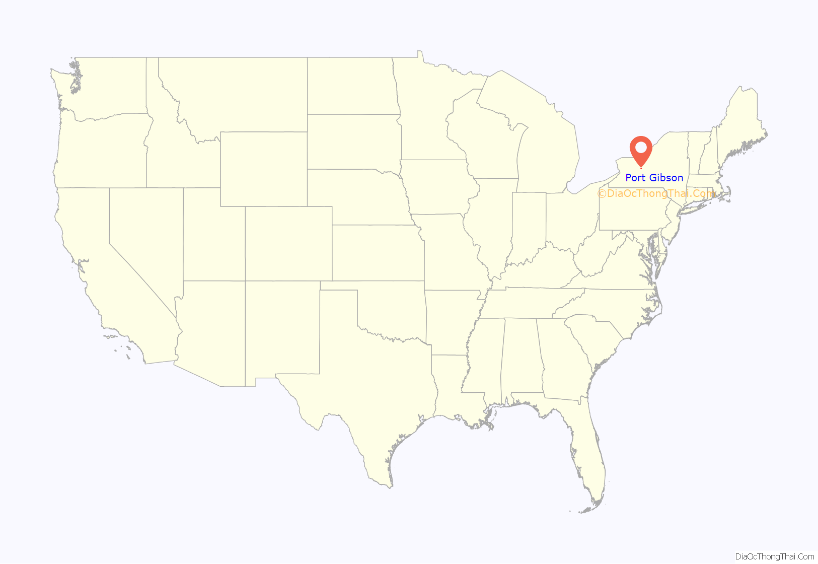
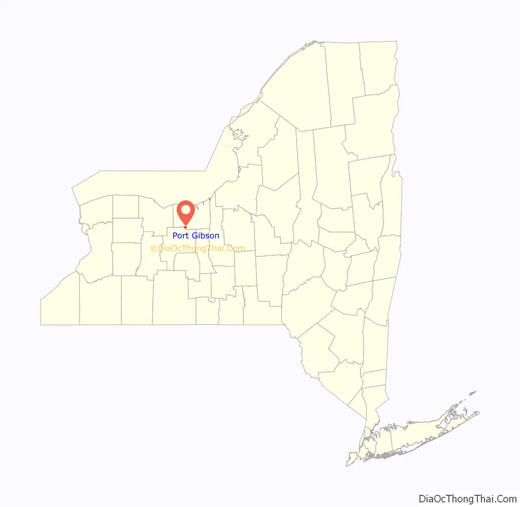
Port Gibson is a hamlet and census-designated place (CDP) in the town of Manchester, Ontario County, New York, United States. As of the 2010 census, it had a population of 453.
| Name: | Port Gibson CDP |
|---|---|
| LSAD Code: | 57 |
| LSAD Description: | CDP (suffix) |
| State: | New York |
| County: | Ontario County |
| Elevation: | 470 ft (140 m) |
| Total Area: | 1.27 sq mi (3.29 km²) |
| Land Area: | 1.24 sq mi (3.21 km²) |
| Water Area: | 0.03 sq mi (0.08 km²) |
| Total Population: | 405 |
| Population Density: | 327.14/sq mi (126.26/km²) |
| Area code: | 315/680 |
| FIPS code: | 3659322 |
| GNISfeature ID: | 2628179 |
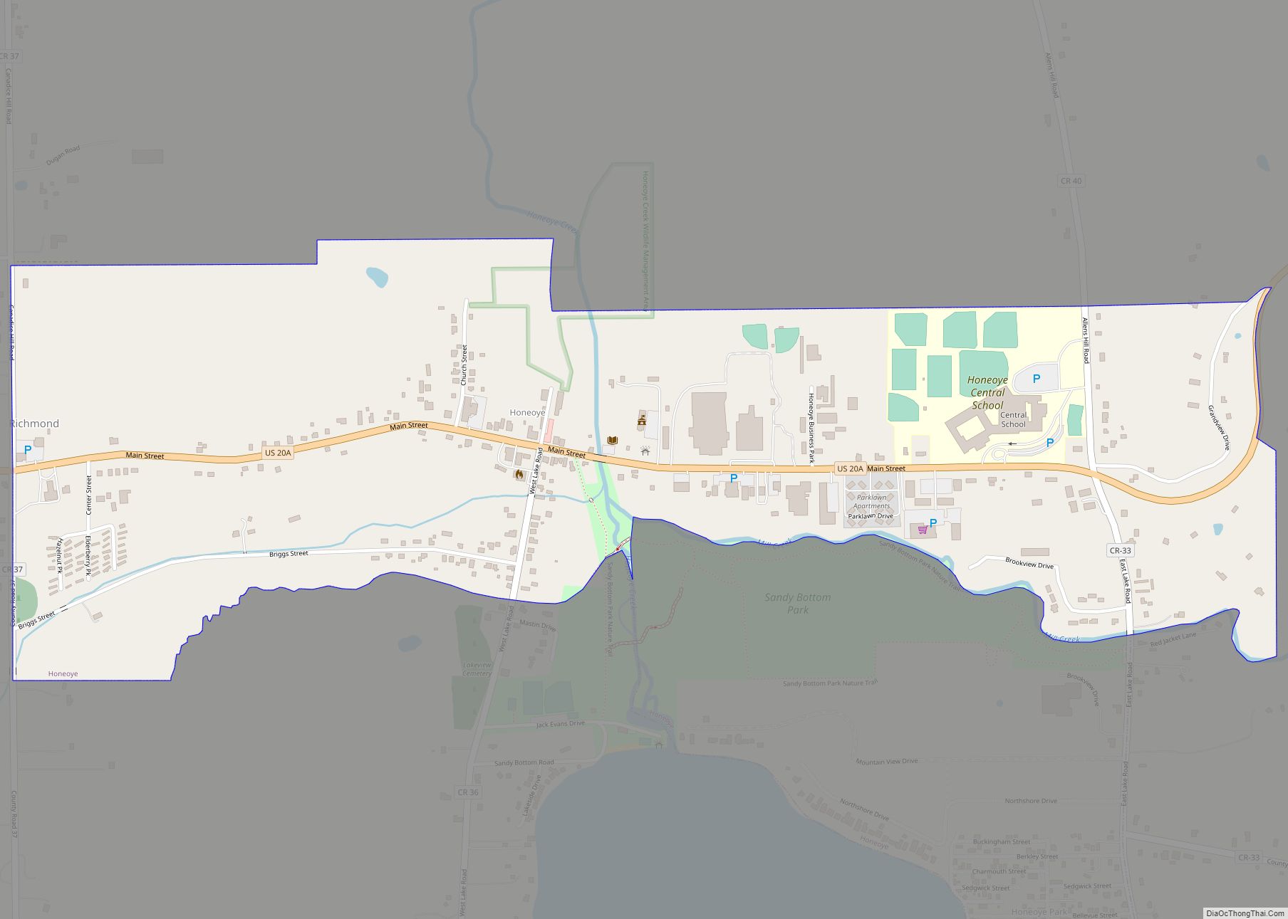
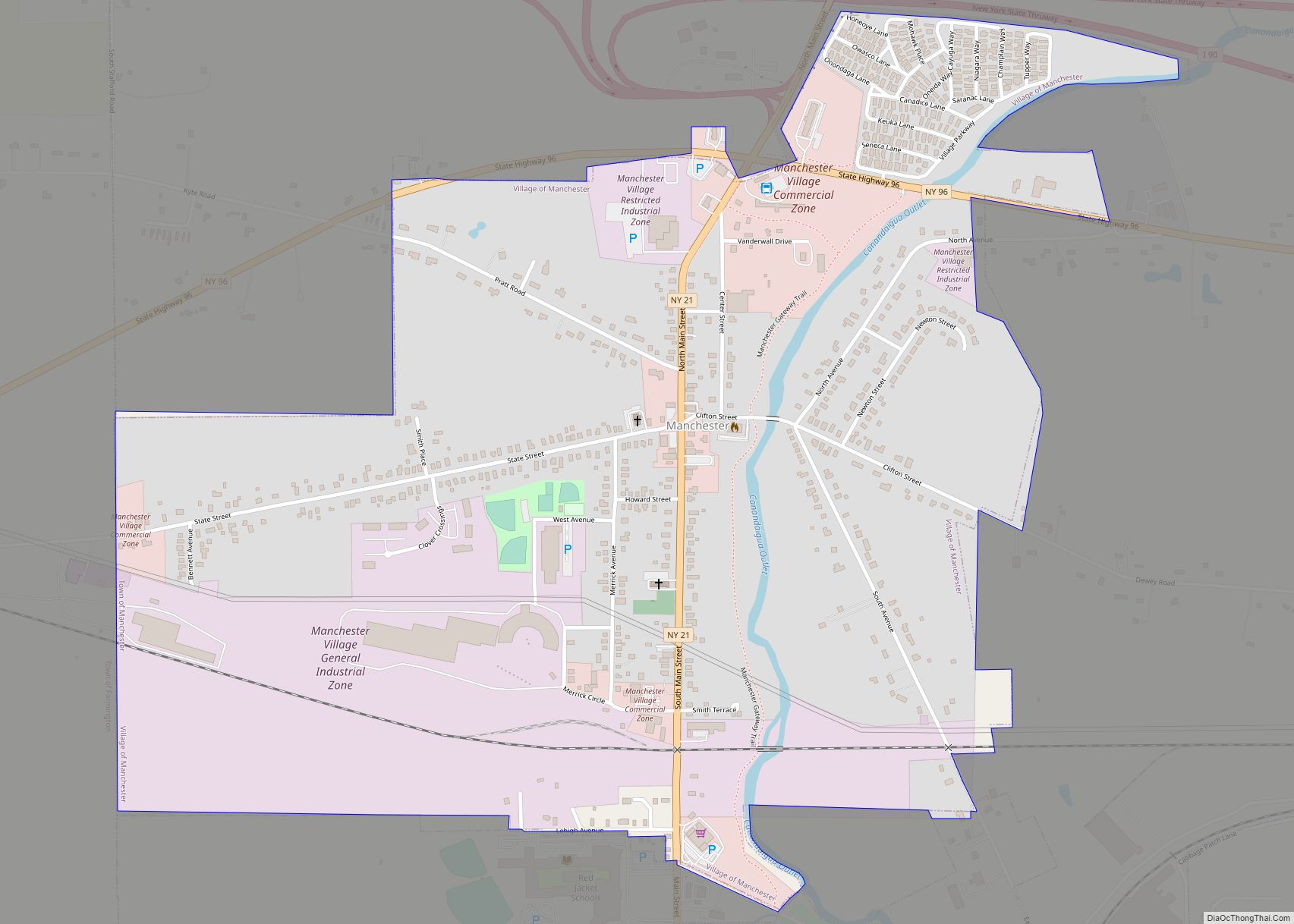
Online Interactive Map
Click on ![]() to view map in "full screen" mode.
to view map in "full screen" mode.
Port Gibson location map. Where is Port Gibson CDP?
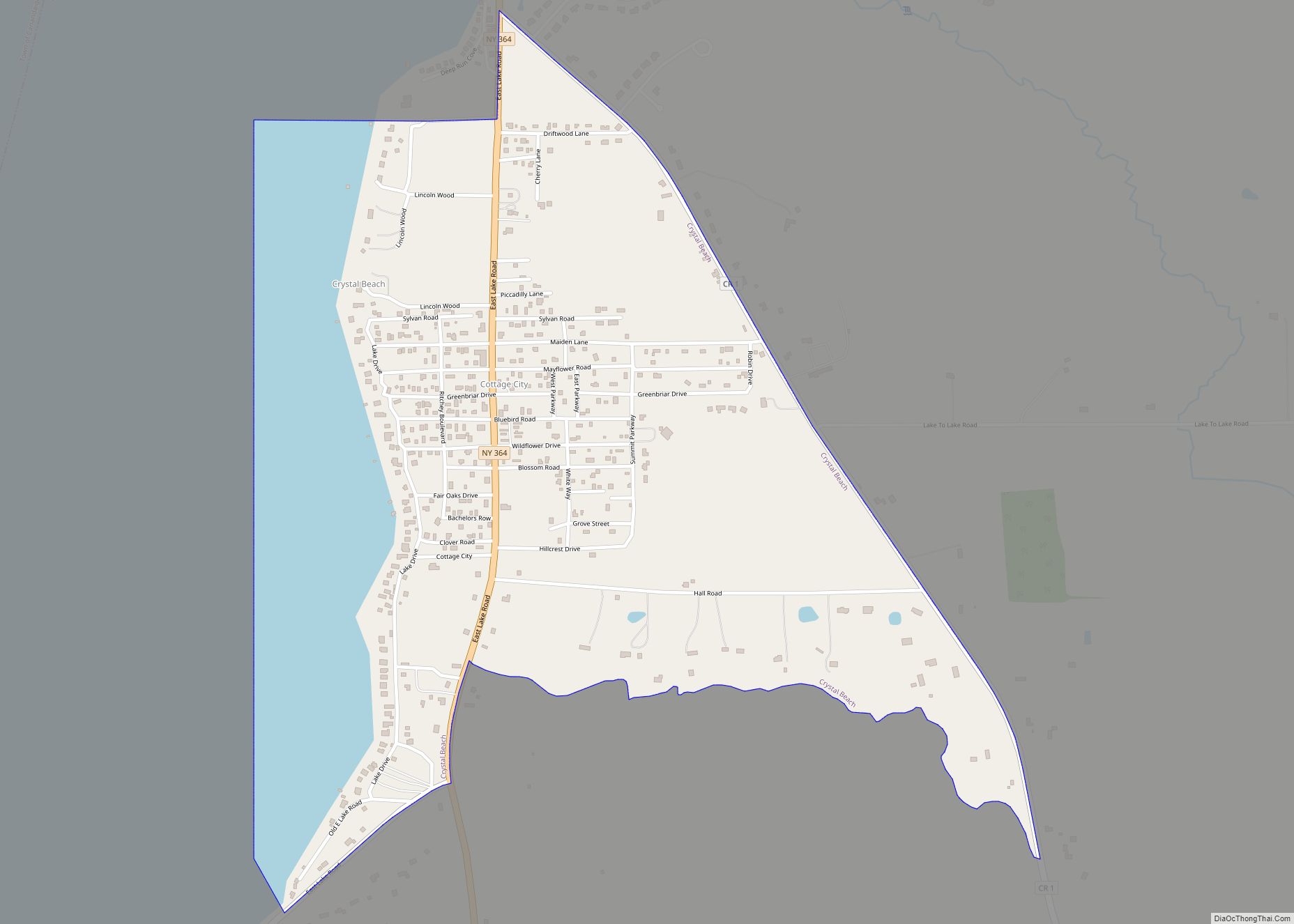
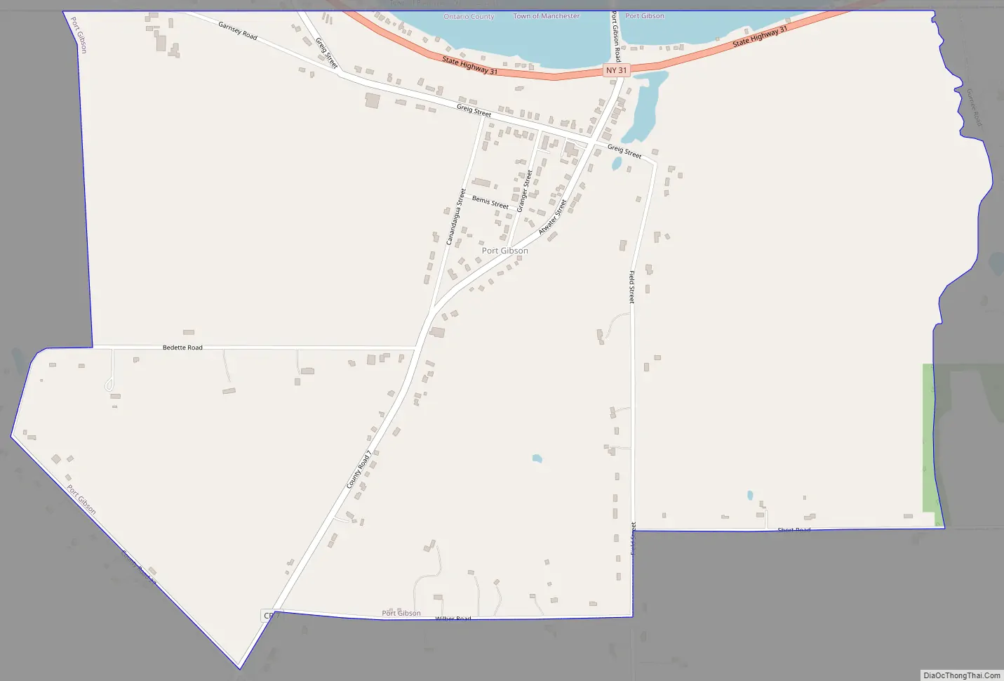
Port Gibson Road Map
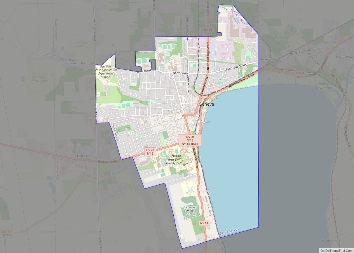
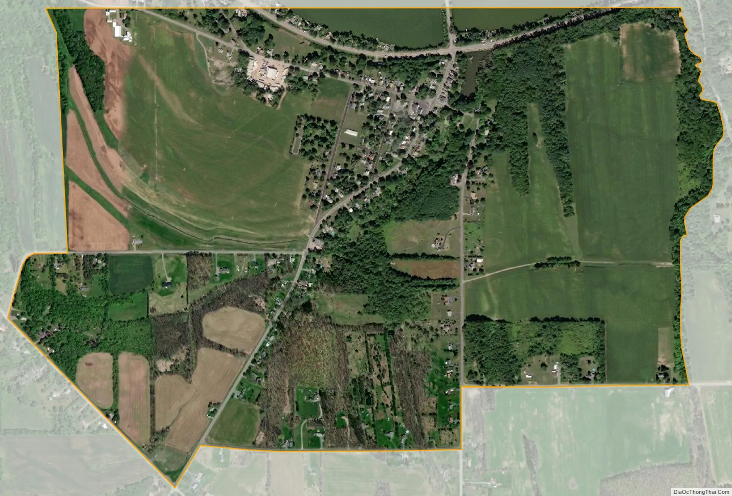
Port Gibson city Satellite Map
Geography
The CDP is in northern Ontario County, in the northeast corner of the town of Manchester. It is bordered to the north by the Erie Canal. New York State Route 31, following the canal, runs through the northern edge of the community, leading east 3.5 miles (5.6 km) to Newark and northwest 5 miles (8 km) to Palmyra. The village of Manchester is 7 miles (11 km) to the southwest.
The Port Gibson United Methodist Church was listed on the National Register of Historic Places in 1996. A U. S. Post Office is located in Port Gibson with a ZIP code of 14537, but a small portion of Port Gibson uses the Clifton Springs postal code of 14432.
Port Gibson is Ontario County’s lone land access to the NYS Barge Canal (formerly Erie Canal).
See also
Map of New York State and its subdivision:- Albany
- Allegany
- Bronx
- Broome
- Cattaraugus
- Cayuga
- Chautauqua
- Chemung
- Chenango
- Clinton
- Columbia
- Cortland
- Delaware
- Dutchess
- Erie
- Essex
- Franklin
- Fulton
- Genesee
- Greene
- Hamilton
- Herkimer
- Jefferson
- Kings
- Lake Ontario
- Lewis
- Livingston
- Madison
- Monroe
- Montgomery
- Nassau
- New York
- Niagara
- Oneida
- Onondaga
- Ontario
- Orange
- Orleans
- Oswego
- Otsego
- Putnam
- Queens
- Rensselaer
- Richmond
- Rockland
- Saint Lawrence
- Saratoga
- Schenectady
- Schoharie
- Schuyler
- Seneca
- Steuben
- Suffolk
- Sullivan
- Tioga
- Tompkins
- Ulster
- Warren
- Washington
- Wayne
- Westchester
- Wyoming
- Yates
- Alabama
- Alaska
- Arizona
- Arkansas
- California
- Colorado
- Connecticut
- Delaware
- District of Columbia
- Florida
- Georgia
- Hawaii
- Idaho
- Illinois
- Indiana
- Iowa
- Kansas
- Kentucky
- Louisiana
- Maine
- Maryland
- Massachusetts
- Michigan
- Minnesota
- Mississippi
- Missouri
- Montana
- Nebraska
- Nevada
- New Hampshire
- New Jersey
- New Mexico
- New York
- North Carolina
- North Dakota
- Ohio
- Oklahoma
- Oregon
- Pennsylvania
- Rhode Island
- South Carolina
- South Dakota
- Tennessee
- Texas
- Utah
- Vermont
- Virginia
- Washington
- West Virginia
- Wisconsin
- Wyoming