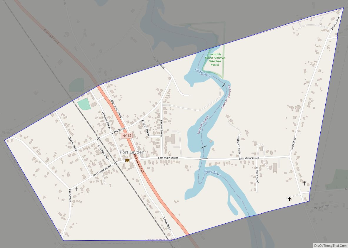
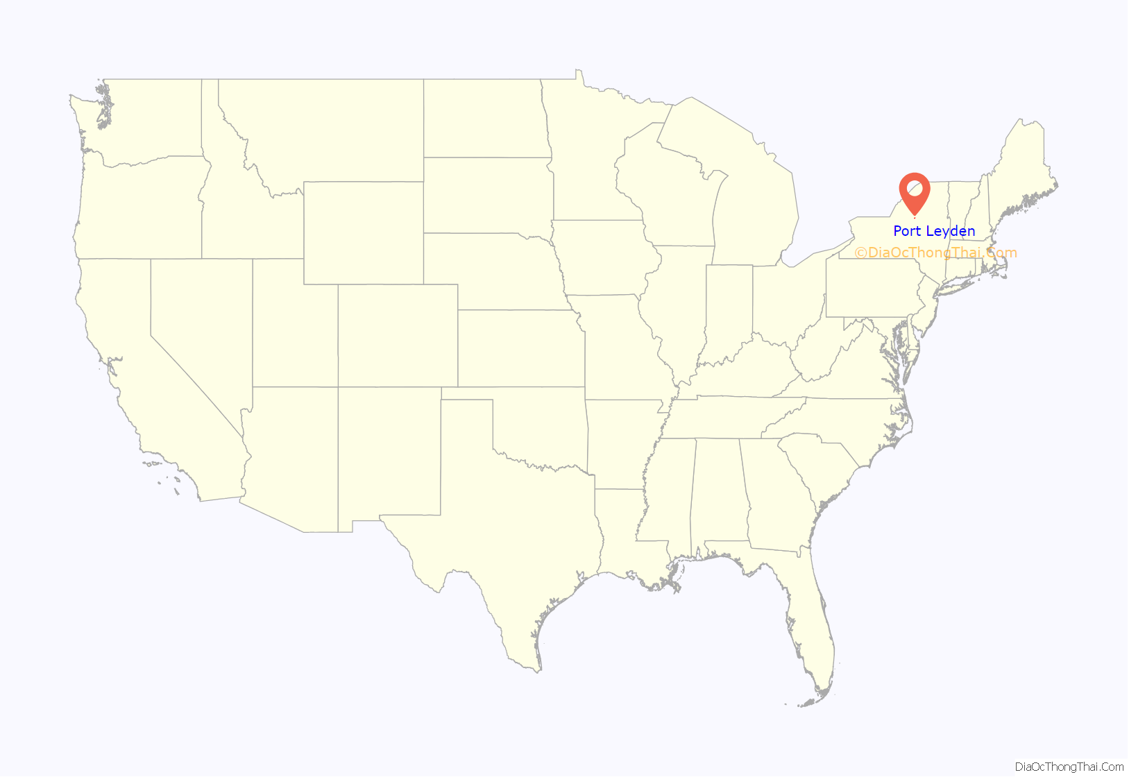
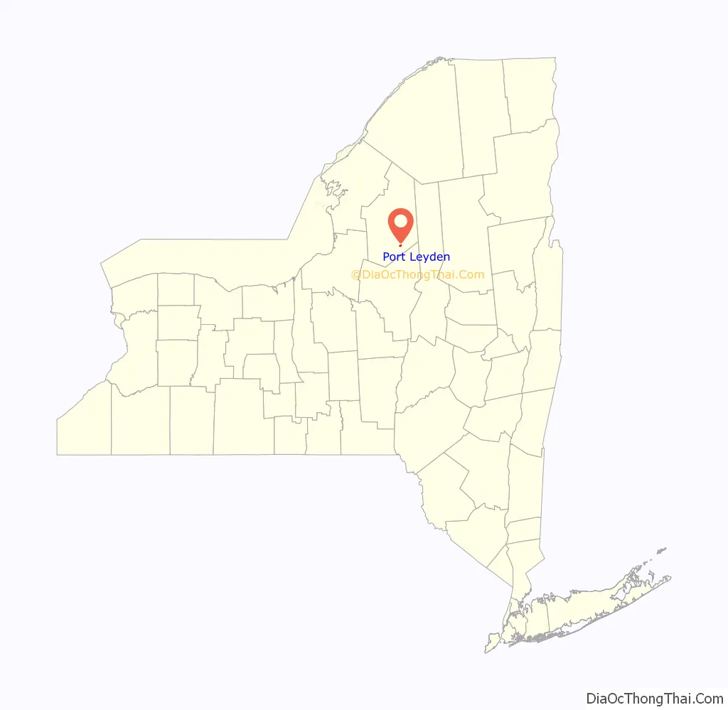
Port Leyden is a village in Lewis County, New York, United States. The population was 672 at the 2010 census. The name is derived from the village’s early history as a port on the Black River Canal.
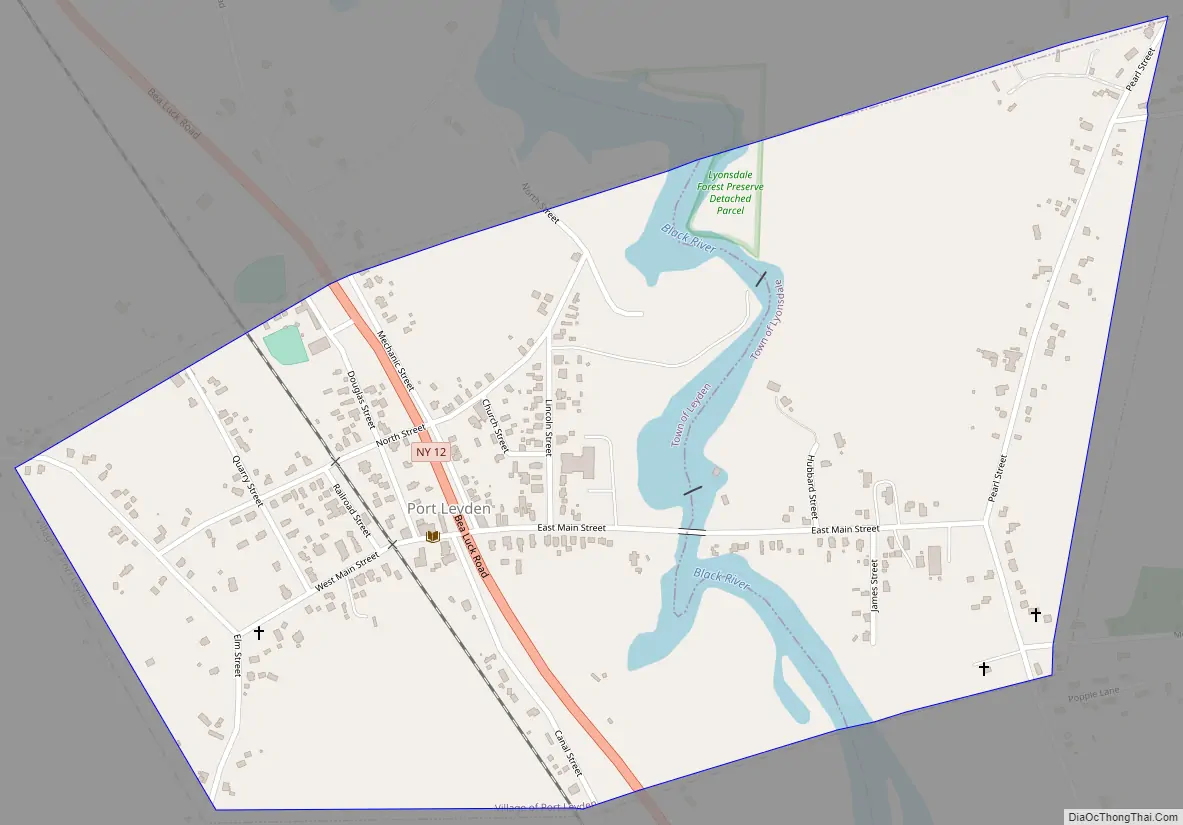
The village of Port Leyden is mostly in the town of Leyden, but a portion of the village lies to the east of the Black River in the town of Lyonsdale. The village is 17 miles (27 km) south of Lowville, the county seat, 8 miles (13 km) north of Boonville, and 25 miles (40 km) by road west-southwest of Old Forge.
| Name: | Port Leyden village |
|---|---|
| LSAD Code: | 47 |
| LSAD Description: | village (suffix) |
| State: | New York |
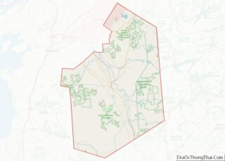
| County: | Lewis County |
| Elevation: | 892 ft (272 m) |
| Total Area: | 0.66 sq mi (1.70 km²) |
| Land Area: | 0.62 sq mi (1.60 km²) |
| Water Area: | 0.04 sq mi (0.11 km²) |
| Total Population: | 554 |
| Population Density: | 897.89/sq mi (346.65/km²) |
| ZIP code: | 13433 |
| Area code: | 315 |
| FIPS code: | 3659454 |
| GNISfeature ID: | 960975 |
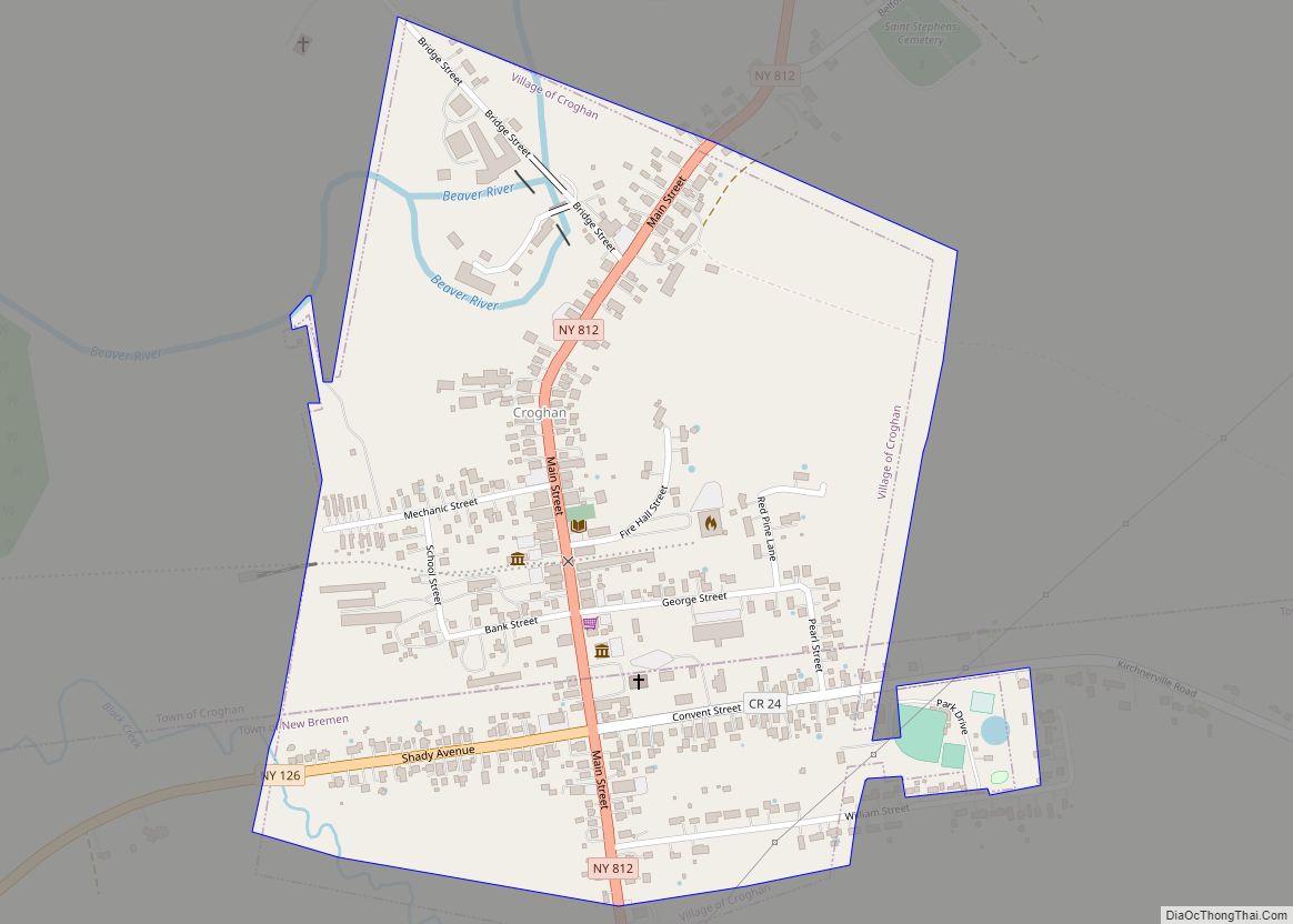
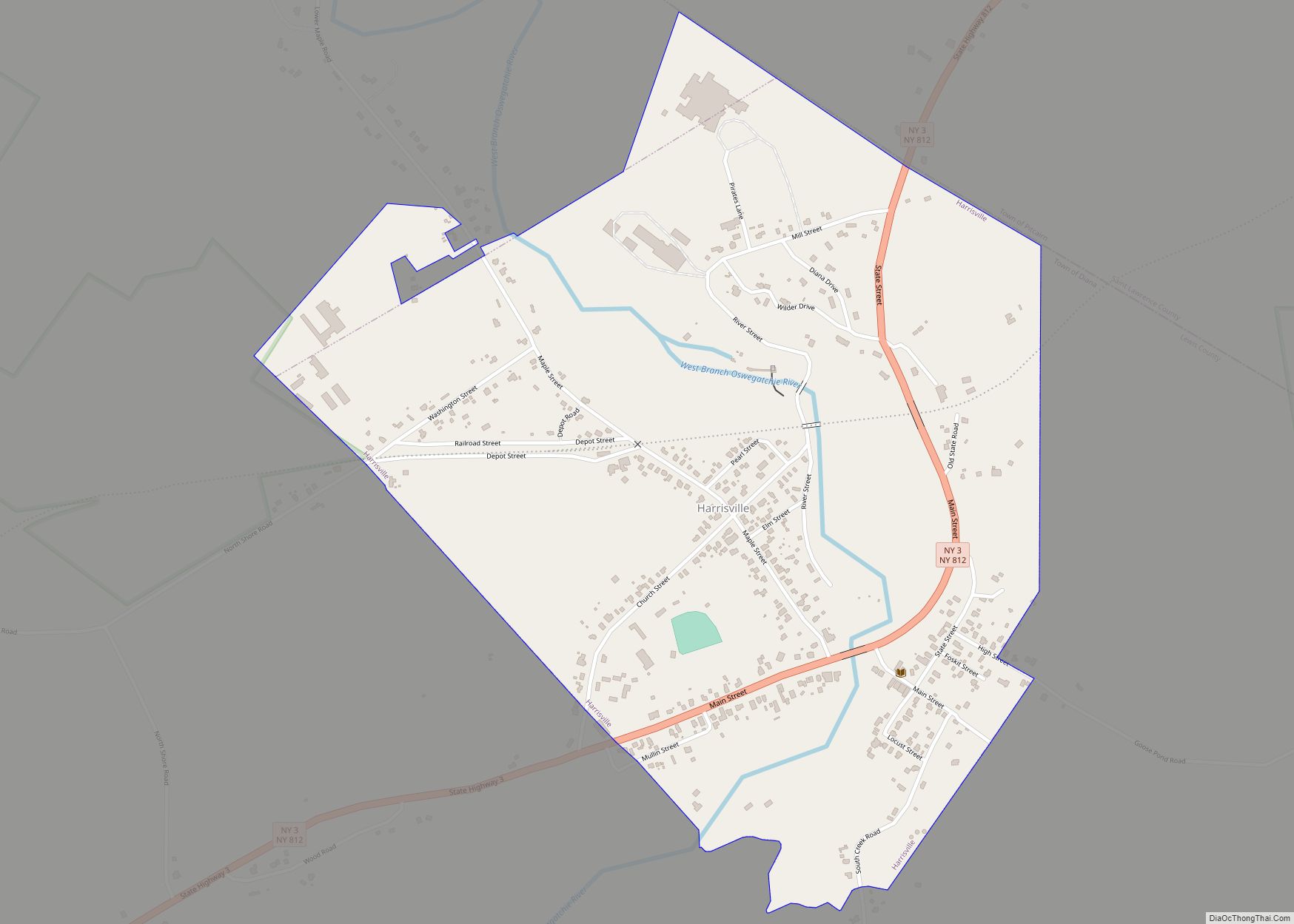
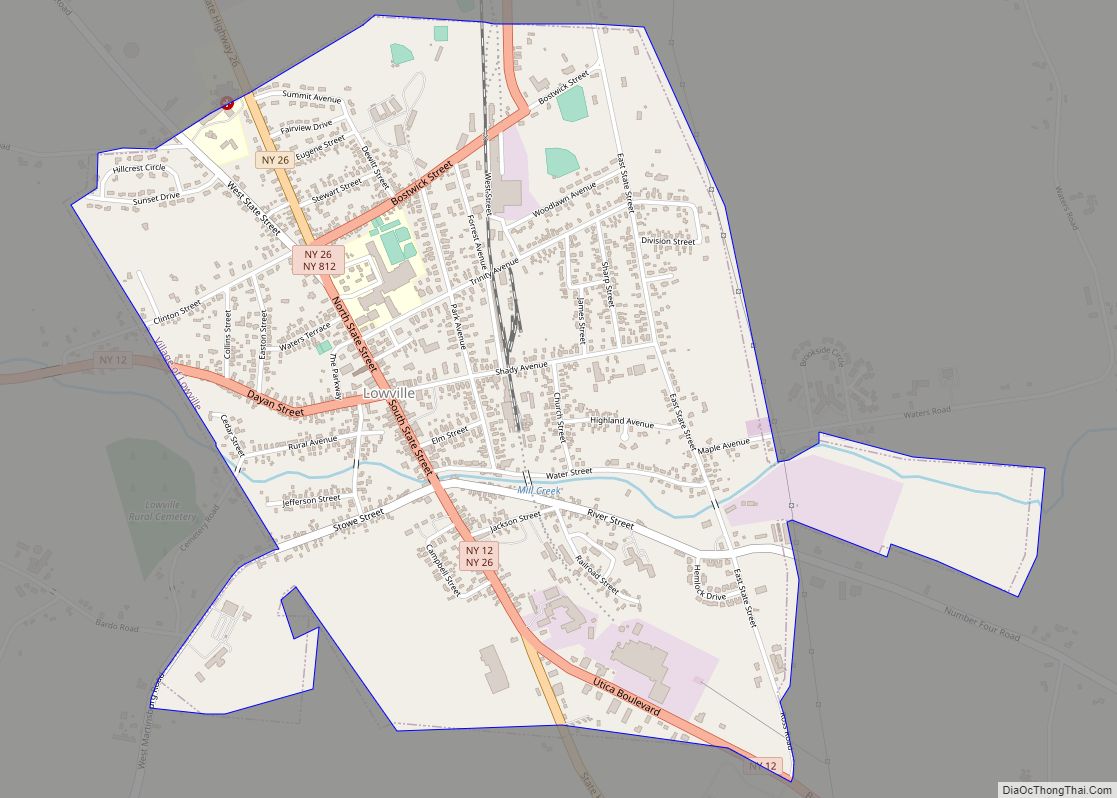
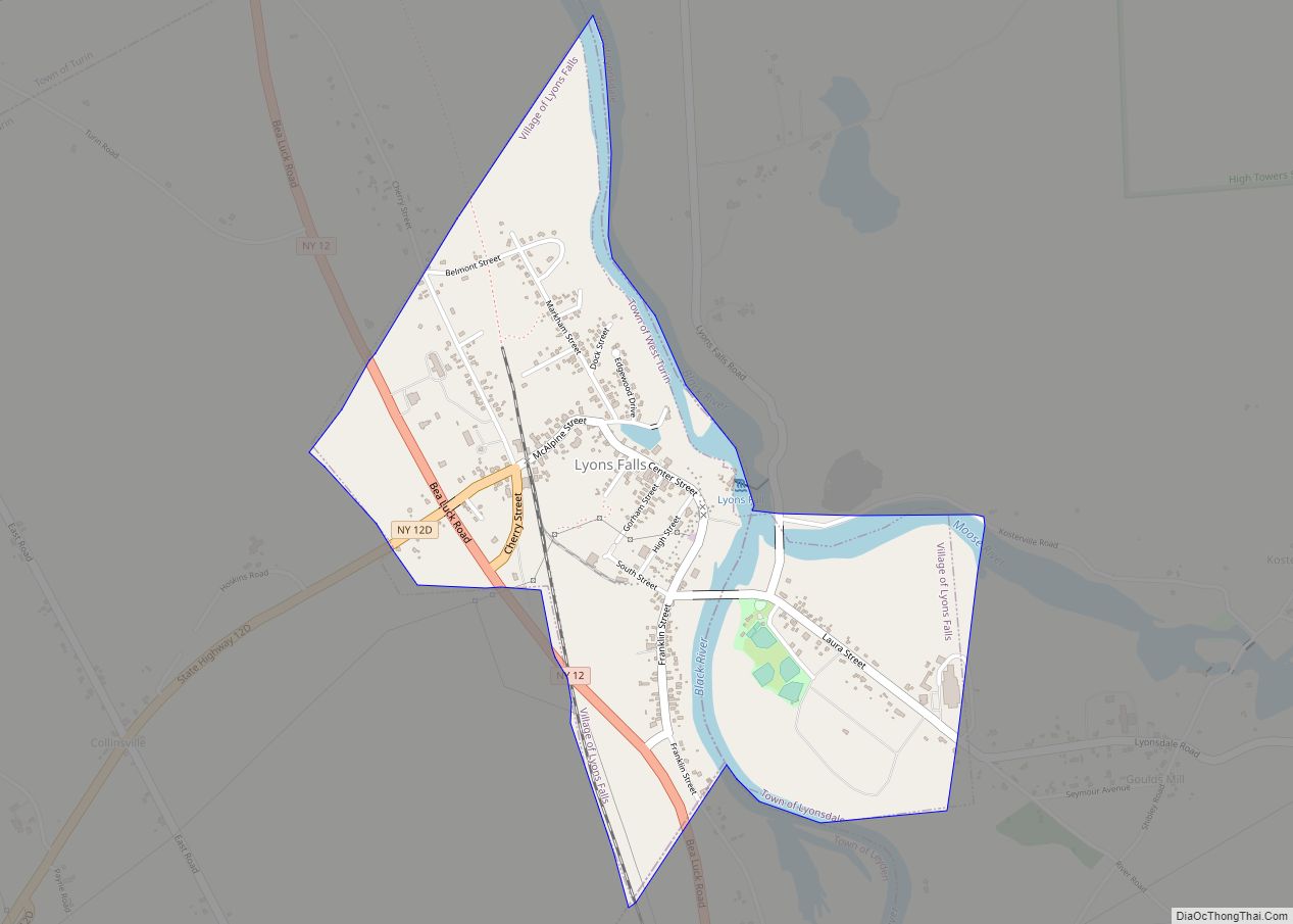
Online Interactive Map
Click on ![]() to view map in "full screen" mode.
to view map in "full screen" mode.
Port Leyden location map. Where is Port Leyden village?
History
A mill was built at the present site of the village around 1800, and the community was known as “Kelsey’s Mills”. The name was changed to “Port Leyden” around 1838 when the Black River Canal was being developed. The canal was completed to Port Leyden in 1850, but was not usable until 1851. The canal reached its northern terminus at Lyons Falls, a few miles north, in 1855. In 1900, a decision was made to abandon the canal between Lyons Falls and Boonville, effectively ending the status of Port Leyden as a canal port.
St. Mark’s Church and the Edmund Wilson House are listed on the National Register of Historic Places.
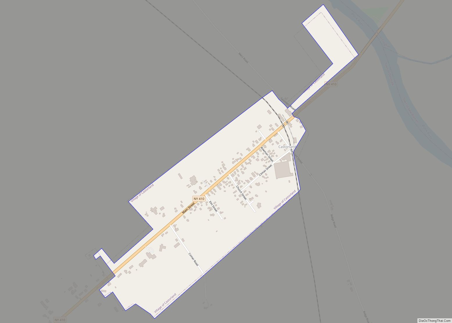
Port Leyden Road Map
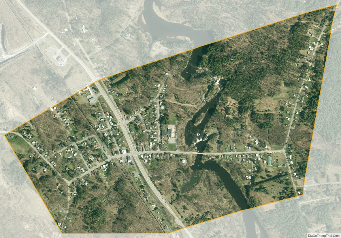
Port Leyden city Satellite Map
Geography
Port Leyden is located in southern Lewis County at 43°35′2″N 75°20′39″W / 43.58389°N 75.34417°W / 43.58389; -75.34417 (43.583871, -75.344261). According to the United States Census Bureau, the village has a total area of 0.66 square miles (1.7 km), of which 0.62 square miles (1.6 km) are land and 0.04 square miles (0.1 km), or 6.17%, are water.
The Black River divides the community and drops over 30 feet (9 m) through the village limits.
Port Leyden is located on New York State Route 12, which leads north to Lowville and south to Boonville.
See also
Map of New York State and its subdivision:- Albany
- Allegany
- Bronx
- Broome
- Cattaraugus
- Cayuga
- Chautauqua
- Chemung
- Chenango
- Clinton
- Columbia
- Cortland
- Delaware
- Dutchess
- Erie
- Essex
- Franklin
- Fulton
- Genesee
- Greene
- Hamilton
- Herkimer
- Jefferson
- Kings
- Lake Ontario
- Lewis
- Livingston
- Madison
- Monroe
- Montgomery
- Nassau
- New York
- Niagara
- Oneida
- Onondaga
- Ontario
- Orange
- Orleans
- Oswego
- Otsego
- Putnam
- Queens
- Rensselaer
- Richmond
- Rockland
- Saint Lawrence
- Saratoga
- Schenectady
- Schoharie
- Schuyler
- Seneca
- Steuben
- Suffolk
- Sullivan
- Tioga
- Tompkins
- Ulster
- Warren
- Washington
- Wayne
- Westchester
- Wyoming
- Yates
- Alabama
- Alaska
- Arizona
- Arkansas
- California
- Colorado
- Connecticut
- Delaware
- District of Columbia
- Florida
- Georgia
- Hawaii
- Idaho
- Illinois
- Indiana
- Iowa
- Kansas
- Kentucky
- Louisiana
- Maine
- Maryland
- Massachusetts
- Michigan
- Minnesota
- Mississippi
- Missouri
- Montana
- Nebraska
- Nevada
- New Hampshire
- New Jersey
- New Mexico
- New York
- North Carolina
- North Dakota
- Ohio
- Oklahoma
- Oregon
- Pennsylvania
- Rhode Island
- South Carolina
- South Dakota
- Tennessee
- Texas
- Utah
- Vermont
- Virginia
- Washington
- West Virginia
- Wisconsin
- Wyoming