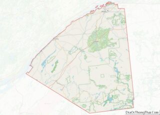
Potsdam is a village located in the Town of Potsdam in St. Lawrence County, New York, United States. The population was 8,312 at the 2020 census. The Village of Potsdam is in the eastern part of the town and is northeast of Canton, the county seat. The village is the locale of the State University of New York at Potsdam and Clarkson University.
| Name: | Potsdam village |
|---|---|
| LSAD Code: | 47 |
| LSAD Description: | village (suffix) |
| State: | New York |
| County: | St. Lawrence County |
| Elevation: | 433 ft (132 m) |
| Total Area: | 5.41 sq mi (14.02 km²) |
| Land Area: | 4.92 sq mi (12.74 km²) |
| Water Area: | 0.49 sq mi (1.28 km²) |
| Total Population: | 8,312 |
| Population Density: | 1,690.12/sq mi (652.61/km²) |
| ZIP code: | 13676 |
| Area code: | 315 |
| FIPS code: | 3659564 |
| GNISfeature ID: | 0977239 |
| Website: | vi.potsdam.ny.us/content |
Online Interactive Map
Click on ![]() to view map in "full screen" mode.
to view map in "full screen" mode.
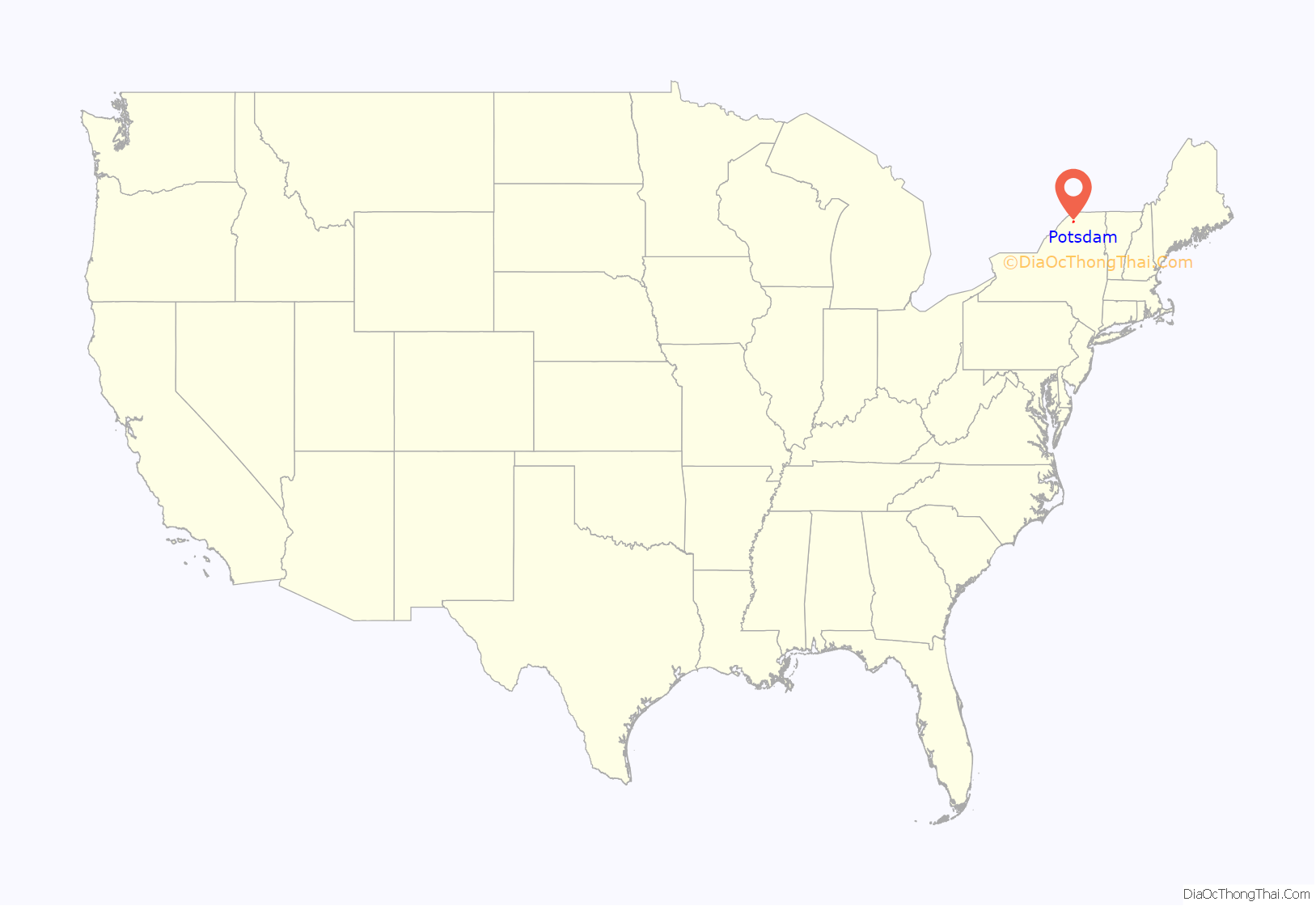
Potsdam location map. Where is Potsdam village?
History
The village was formerly a community of the St. Regis Indians. The early European settlers arrived at that location around 1803.
The village was incorporated in 1831. In 1841, the village charter was amended to increase the size of the village.
Potsdam was the seventh town erected by an Act of the Legislature passed February 21, 1806, formerly attached to Madrid. It was one of the original ten townships, No. 3, and is said to have been named thus by the commissioners on the discovery by the surveyors of a bed of reddish sandstone resembling the sandstone in Potsdam, Germany.
The Market Street Historic District, Bayside Cemetery and Gatehouse Complex, Clarkson Office Building, Clarkson-Knowles Cottage, Nathaniel Parmeter House, Trinity Episcopal Church, and United States Post Office are listed on the National Register of Historic Places.
Notable people
- Job Bicknell Ellis, a mycologist, was born in Potsdam and briefly taught there
- Frank B. Kellogg, co-author of the Kellogg–Briand Pact, was born in Potsdam
- Marguerite LeHand, secretary to President Franklin D. Roosevelt, was born in Potsdam
- Clarence F. Stephens, a mathematician, taught in Potsdam and developed model teaching methods for college mathematics
Potsdam Road Map
Potsdam city Satellite Map
Geography
Potsdam is located at 44°40′15″N 74°59′3″W / 44.67083°N 74.98417°W / 44.67083; -74.98417 (44.670873, -74.984281).
According to the United States Census Bureau, the village has a total area of 4.8 square miles (12.6 km), of which 4.4 square miles (11.4 km) is land and 0.5 square mile (1.2 km) (9.48%) is water.
The village is on the banks of the Raquette River.
U.S. Route 11 passes through the village from east to west, and New York State Route 56 passes through from north to south. New York State Route 11B enters from the east, and New York State Route 345 enters from the northwest.
See also
Map of New York State and its subdivision:- Albany
- Allegany
- Bronx
- Broome
- Cattaraugus
- Cayuga
- Chautauqua
- Chemung
- Chenango
- Clinton
- Columbia
- Cortland
- Delaware
- Dutchess
- Erie
- Essex
- Franklin
- Fulton
- Genesee
- Greene
- Hamilton
- Herkimer
- Jefferson
- Kings
- Lake Ontario
- Lewis
- Livingston
- Madison
- Monroe
- Montgomery
- Nassau
- New York
- Niagara
- Oneida
- Onondaga
- Ontario
- Orange
- Orleans
- Oswego
- Otsego
- Putnam
- Queens
- Rensselaer
- Richmond
- Rockland
- Saint Lawrence
- Saratoga
- Schenectady
- Schoharie
- Schuyler
- Seneca
- Steuben
- Suffolk
- Sullivan
- Tioga
- Tompkins
- Ulster
- Warren
- Washington
- Wayne
- Westchester
- Wyoming
- Yates
- Alabama
- Alaska
- Arizona
- Arkansas
- California
- Colorado
- Connecticut
- Delaware
- District of Columbia
- Florida
- Georgia
- Hawaii
- Idaho
- Illinois
- Indiana
- Iowa
- Kansas
- Kentucky
- Louisiana
- Maine
- Maryland
- Massachusetts
- Michigan
- Minnesota
- Mississippi
- Missouri
- Montana
- Nebraska
- Nevada
- New Hampshire
- New Jersey
- New Mexico
- New York
- North Carolina
- North Dakota
- Ohio
- Oklahoma
- Oregon
- Pennsylvania
- Rhode Island
- South Carolina
- South Dakota
- Tennessee
- Texas
- Utah
- Vermont
- Virginia
- Washington
- West Virginia
- Wisconsin
- Wyoming
