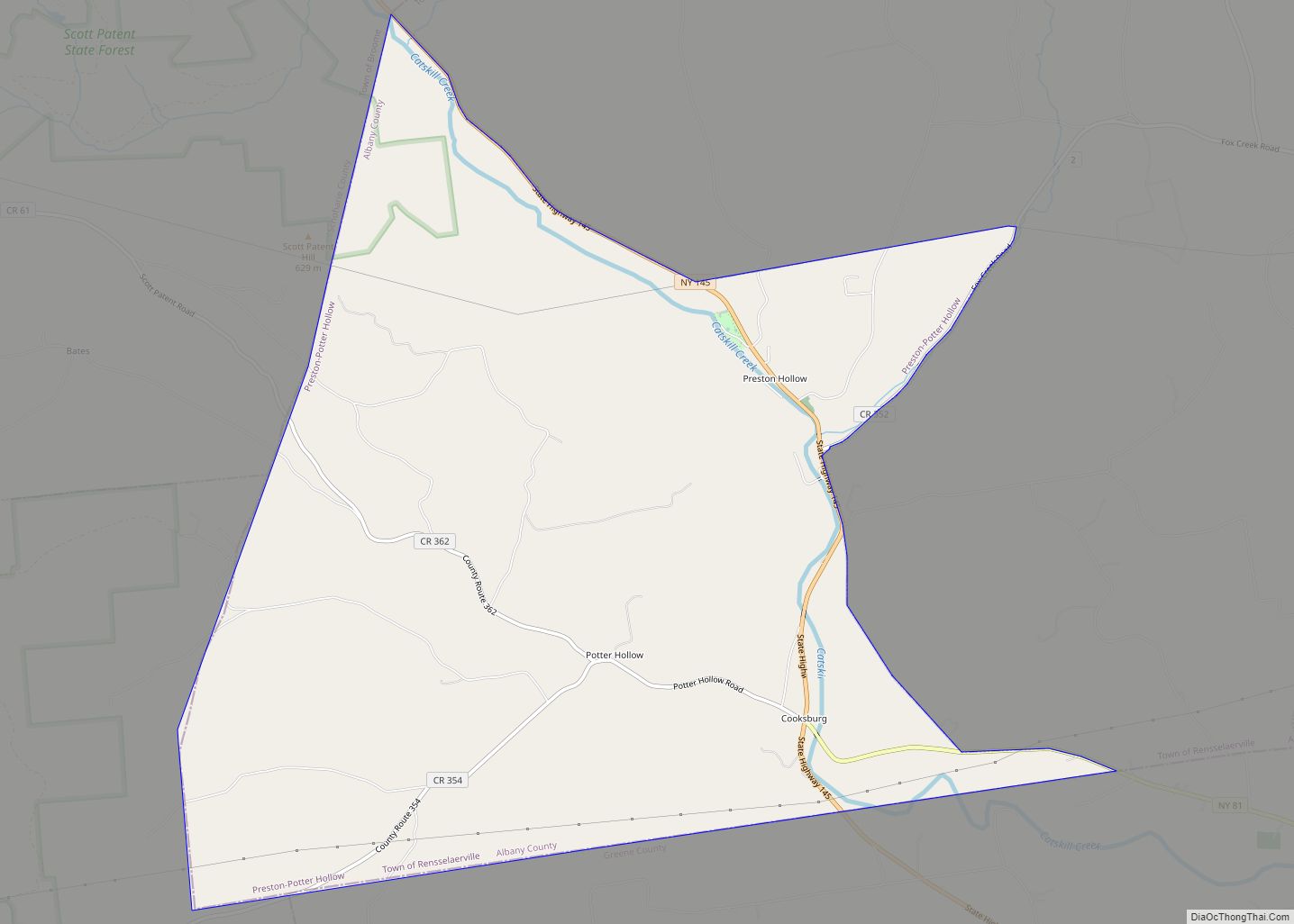
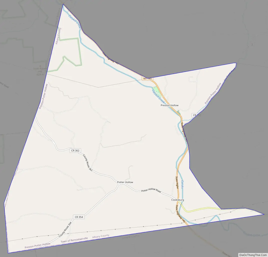
Preston-Potter Hollow is a census-designated place (CDP) in Albany County, New York, United States. The population was 366 at the 2010 census.
Preston and Potter Hollow are two hamlets in the town of Rensselaerville, located in the southwestern corner of Albany County. The communities are near the border of Greene County.
| Name: | Preston-Potter Hollow CDP |
|---|---|
| LSAD Code: | 57 |
| LSAD Description: | CDP (suffix) |
| State: | New York |
| County: | Albany County |
| Total Area: | 10.13 sq mi (26.25 km²) |
| Land Area: | 10.13 sq mi (26.25 km²) |
| Water Area: | 0.00 sq mi (0.00 km²) |
| Total Population: | 367 |
| Population Density: | 36.21/sq mi (13.98/km²) |
| FIPS code: | 3659831 |
Online Interactive Map
Click on ![]() to view map in "full screen" mode.
to view map in "full screen" mode.
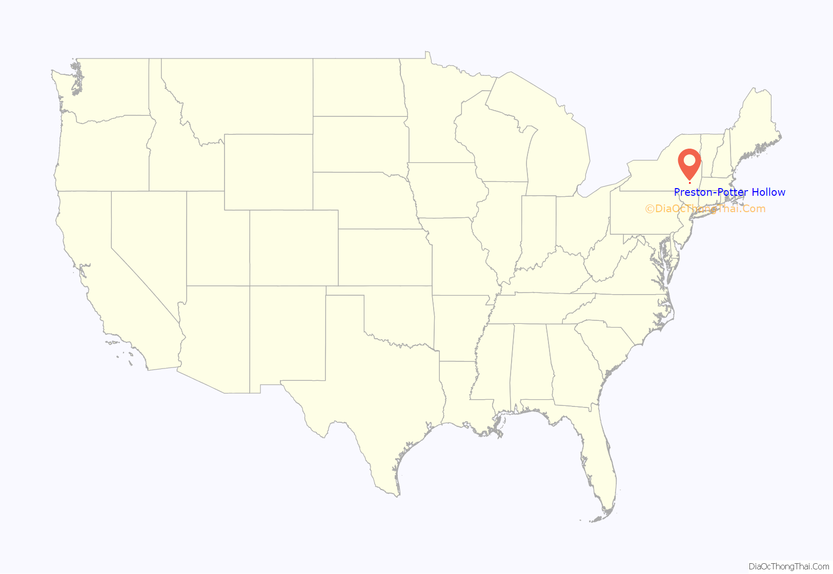
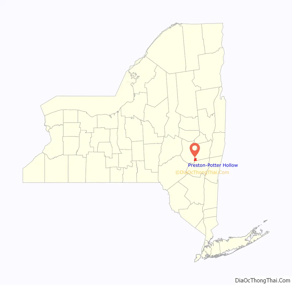
Preston-Potter Hollow location map. Where is Preston-Potter Hollow CDP?
History
The Potter Hollow District No. 19 School and Sidney White House are listed on the National Register of Historic Places.
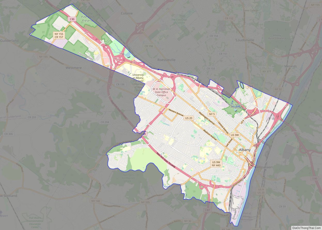
Preston-Potter Hollow Road Map
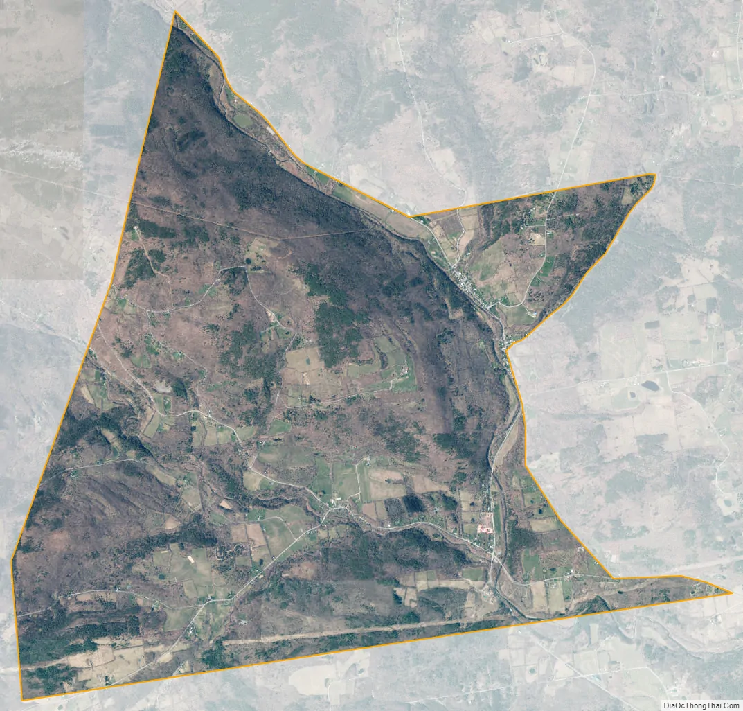
Preston-Potter Hollow city Satellite Map
Geography
Preston-Potter Hollow is located at 42°25′53″N 74°13′23″W / 42.43139°N 74.22306°W / 42.43139; -74.22306 (42.431357, -74.223113).
According to the United States Census Bureau, the CDP has a total area of 10.1 square miles (26 km), all land.
It is also the topographical location of Potter Hollow.
See also
Map of New York State and its subdivision:- Albany
- Allegany
- Bronx
- Broome
- Cattaraugus
- Cayuga
- Chautauqua
- Chemung
- Chenango
- Clinton
- Columbia
- Cortland
- Delaware
- Dutchess
- Erie
- Essex
- Franklin
- Fulton
- Genesee
- Greene
- Hamilton
- Herkimer
- Jefferson
- Kings
- Lake Ontario
- Lewis
- Livingston
- Madison
- Monroe
- Montgomery
- Nassau
- New York
- Niagara
- Oneida
- Onondaga
- Ontario
- Orange
- Orleans
- Oswego
- Otsego
- Putnam
- Queens
- Rensselaer
- Richmond
- Rockland
- Saint Lawrence
- Saratoga
- Schenectady
- Schoharie
- Schuyler
- Seneca
- Steuben
- Suffolk
- Sullivan
- Tioga
- Tompkins
- Ulster
- Warren
- Washington
- Wayne
- Westchester
- Wyoming
- Yates
- Alabama
- Alaska
- Arizona
- Arkansas
- California
- Colorado
- Connecticut
- Delaware
- District of Columbia
- Florida
- Georgia
- Hawaii
- Idaho
- Illinois
- Indiana
- Iowa
- Kansas
- Kentucky
- Louisiana
- Maine
- Maryland
- Massachusetts
- Michigan
- Minnesota
- Mississippi
- Missouri
- Montana
- Nebraska
- Nevada
- New Hampshire
- New Jersey
- New Mexico
- New York
- North Carolina
- North Dakota
- Ohio
- Oklahoma
- Oregon
- Pennsylvania
- Rhode Island
- South Carolina
- South Dakota
- Tennessee
- Texas
- Utah
- Vermont
- Virginia
- Washington
- West Virginia
- Wisconsin
- Wyoming