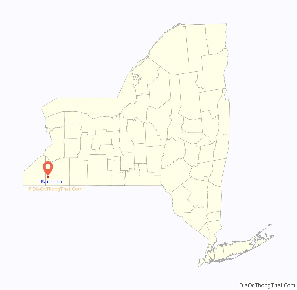
Randolph is a hamlet, census-designated place (CDP) and former village in Cattaraugus County, New York, United States. It is located within the town of Randolph. The population of the village was 1,286 at the 2010 census, out of 2,602 in the town as a whole. Randolph borders the community of East Randolph.
| Name: | Randolph CDP |
|---|---|
| LSAD Code: | 57 |
| LSAD Description: | CDP (suffix) |
| State: | New York |
| County: | Cattaraugus County |
| Incorporated: | May 21, 1867 |
| Elevation: | 1,276 ft (389 m) |
| Total Area: | 3.26 sq mi (8.45 km²) |
| Land Area: | 3.25 sq mi (8.42 km²) |
| Water Area: | 0.01 sq mi (0.03 km²) |
| Total Population: | 1,297 |
| Population Density: | 398.95/sq mi (154.04/km²) |
| ZIP code: | 14772 |
| Area code: | 716 |
| FIPS code: | 3660576 |
| GNISfeature ID: | 0962181 |
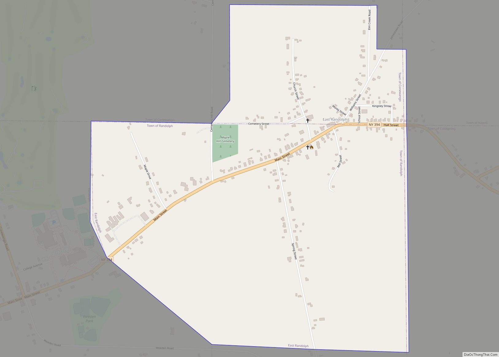
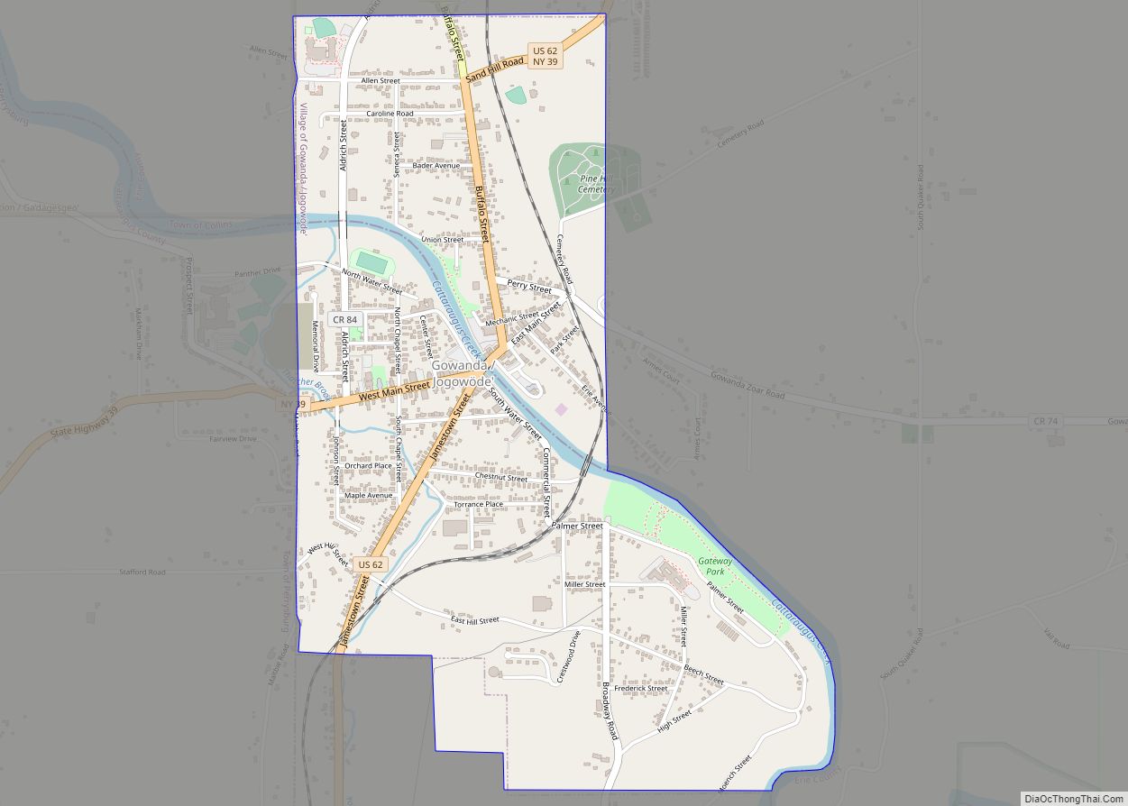
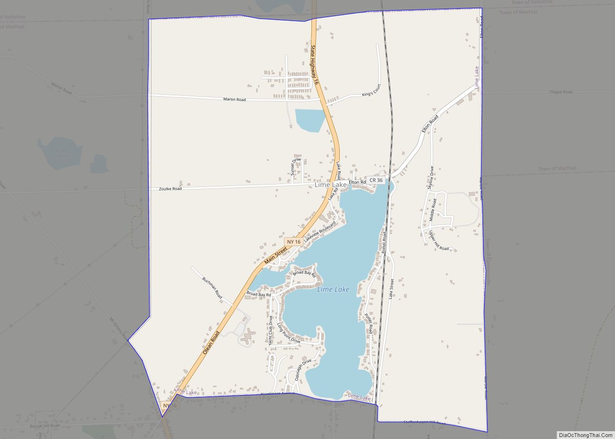
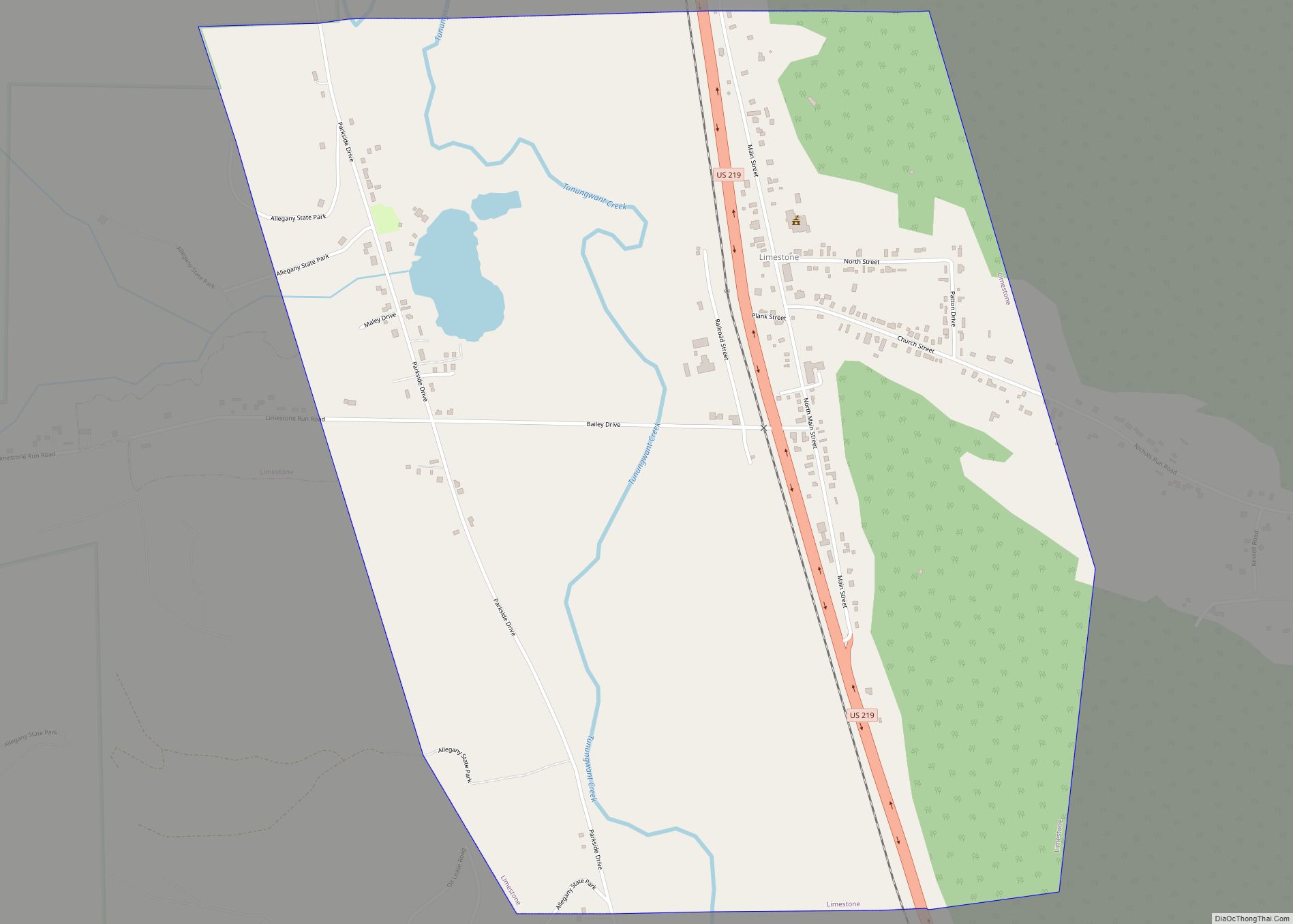
Online Interactive Map
Click on ![]() to view map in "full screen" mode.
to view map in "full screen" mode.
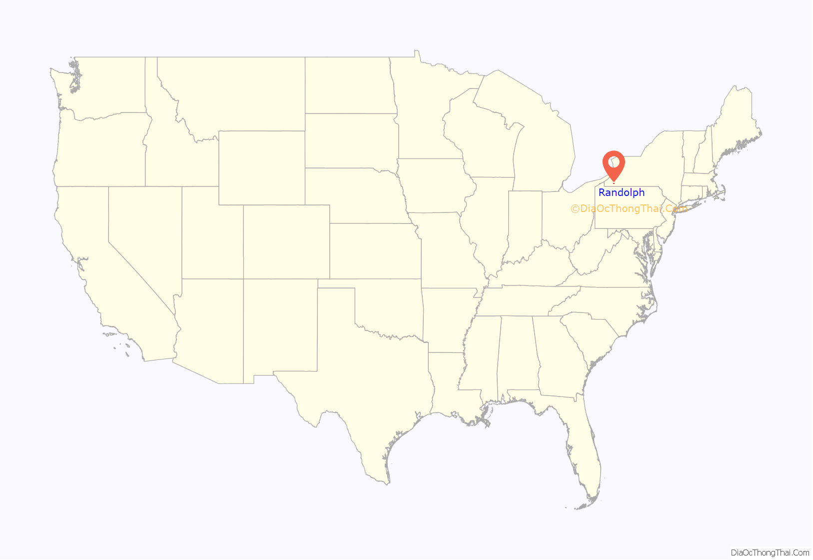
Randolph location map. Where is Randolph CDP?
History
Randolph was the first location settled within the town, circa 1820.
The village of Randolph was incorporated in 1867. Voters in the village approved the dissolution of the village into a hamlet within the town of Randolph on March 16, 2010, becoming one of four villages in the county to have approved a village dissolution plan within a six-month span. East Randolph and Perrysburg approved their dissolution plans on the same day; Limestone had done so in September 2009. At the time of dissolution, Howard MacLaughlin was mayor.
Randolph was once the home of the Chamberlain Institute and Female College, a Methodist school, which closed after a fire. The site of the Chamberlain Institute is now the home of Randolph High School.
The Randolph Historic District was listed on the National Register of Historic Places in 2012.
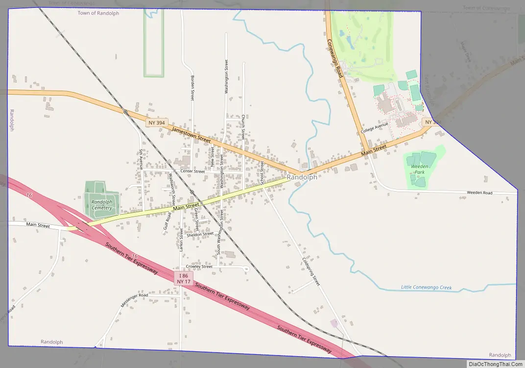
Randolph Road Map
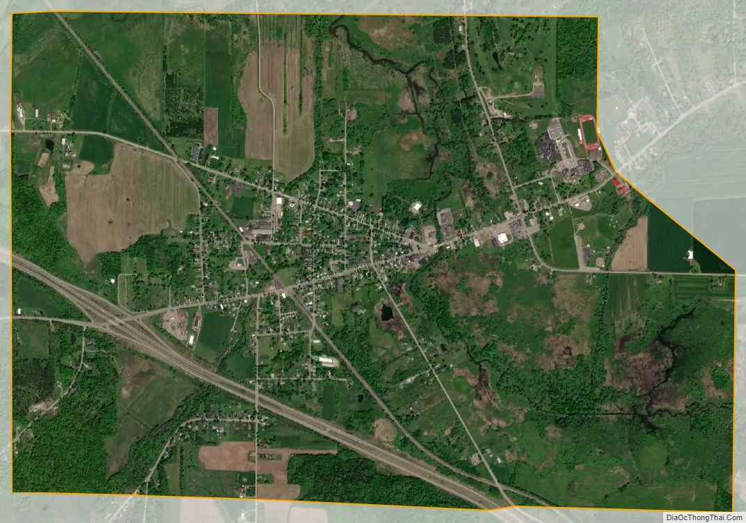
Randolph city Satellite Map
Geography
Randolph is located at 42°9′35″N 78°58′58″W / 42.15972°N 78.98278°W / 42.15972; -78.98278 (42.159992, -78.983044).
According to the United States Census Bureau, the village has a total area of 3.26 square miles (8.45 km), of which 3.25 square miles (8.42 km) is land and 0.01 square miles (0.03 km), or 0.33%, is water.
The village is at the junction of New York State routes 241 and 394, plus County Road 9. County Road 8 enters the village from the west.
The Southern Tier Expressway (Interstate 86 and NY 17) passes through the southwest corner of Randolph, with access from Exit 16. Salamanca is 19 miles (31 km) to the east, and Jamestown is 14 miles (23 km) to the west.
The principal stream of Randolph is Little Conewango Creek. Battle Creek flows into the Little Conewango just outside the hamlet. Little Conewango Creek flows into Conewango Creek, a tributary of the Allegheny River.
See also
Map of New York State and its subdivision:- Albany
- Allegany
- Bronx
- Broome
- Cattaraugus
- Cayuga
- Chautauqua
- Chemung
- Chenango
- Clinton
- Columbia
- Cortland
- Delaware
- Dutchess
- Erie
- Essex
- Franklin
- Fulton
- Genesee
- Greene
- Hamilton
- Herkimer
- Jefferson
- Kings
- Lake Ontario
- Lewis
- Livingston
- Madison
- Monroe
- Montgomery
- Nassau
- New York
- Niagara
- Oneida
- Onondaga
- Ontario
- Orange
- Orleans
- Oswego
- Otsego
- Putnam
- Queens
- Rensselaer
- Richmond
- Rockland
- Saint Lawrence
- Saratoga
- Schenectady
- Schoharie
- Schuyler
- Seneca
- Steuben
- Suffolk
- Sullivan
- Tioga
- Tompkins
- Ulster
- Warren
- Washington
- Wayne
- Westchester
- Wyoming
- Yates
- Alabama
- Alaska
- Arizona
- Arkansas
- California
- Colorado
- Connecticut
- Delaware
- District of Columbia
- Florida
- Georgia
- Hawaii
- Idaho
- Illinois
- Indiana
- Iowa
- Kansas
- Kentucky
- Louisiana
- Maine
- Maryland
- Massachusetts
- Michigan
- Minnesota
- Mississippi
- Missouri
- Montana
- Nebraska
- Nevada
- New Hampshire
- New Jersey
- New Mexico
- New York
- North Carolina
- North Dakota
- Ohio
- Oklahoma
- Oregon
- Pennsylvania
- Rhode Island
- South Carolina
- South Dakota
- Tennessee
- Texas
- Utah
- Vermont
- Virginia
- Washington
- West Virginia
- Wisconsin
- Wyoming