Ravena is a village in Albany County, New York, United States. The population was 3,271 in the 2020 census an increase of 3 over the 2010 census. The village is in the southeast part of the town of Coeymans.
| Name: | Ravena village |
|---|---|
| LSAD Code: | 47 |
| LSAD Description: | village (suffix) |
| State: | New York |
| County: | Albany County |
| Incorporated: | 1914 |
| Elevation: | 230 ft (70 m) |
| Total Area: | 1.47 sq mi (3.82 km²) |
| Land Area: | 1.47 sq mi (3.80 km²) |
| Water Area: | 0.01 sq mi (0.01 km²) |
| Total Population: | 3,271 |
| Population Density: | 2,228.20/sq mi (860.33/km²) |
| ZIP code: | 12143 |
| Area code: | 518 |
| FIPS code: | 3660675 |
| GNISfeature ID: | 0962229 |
| Website: | http://www.villageofravena.com |
Online Interactive Map
Click on ![]() to view map in "full screen" mode.
to view map in "full screen" mode.
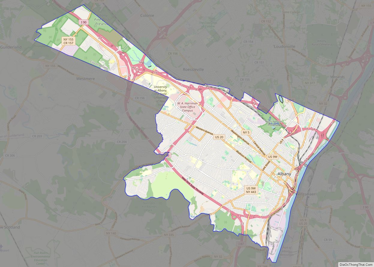
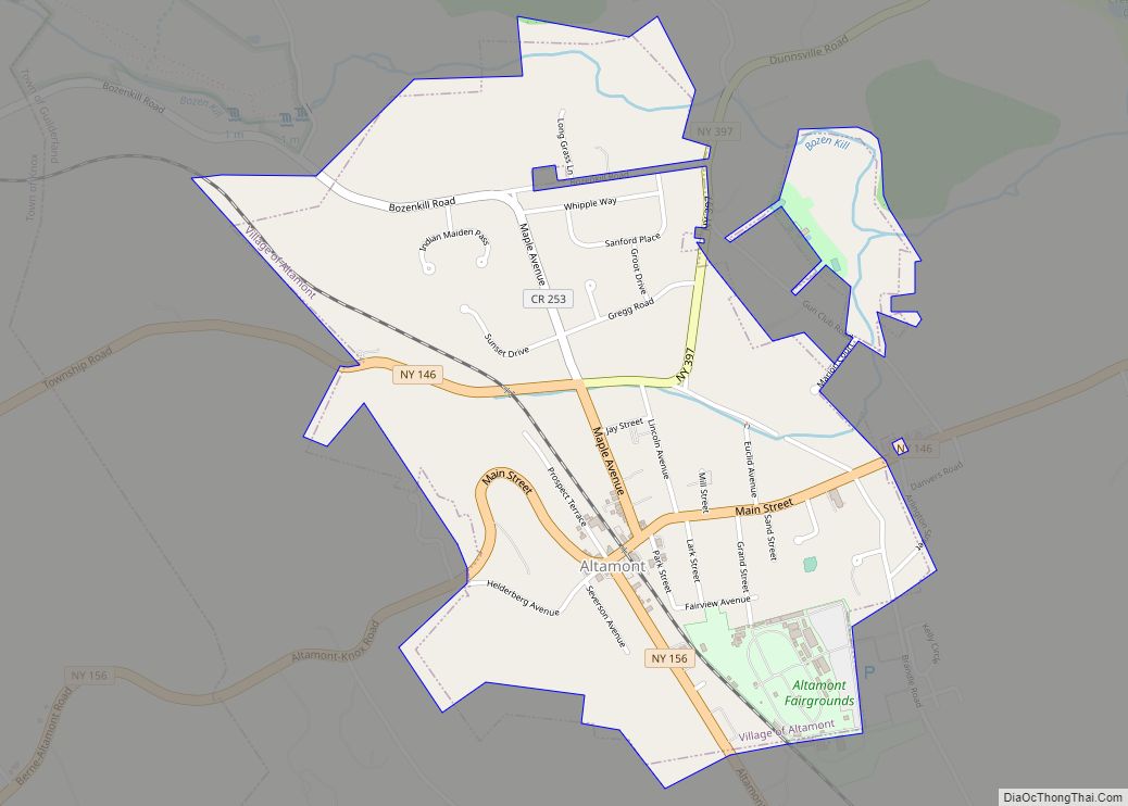
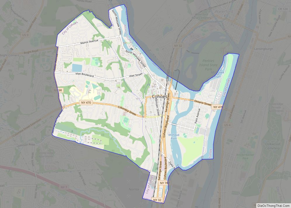
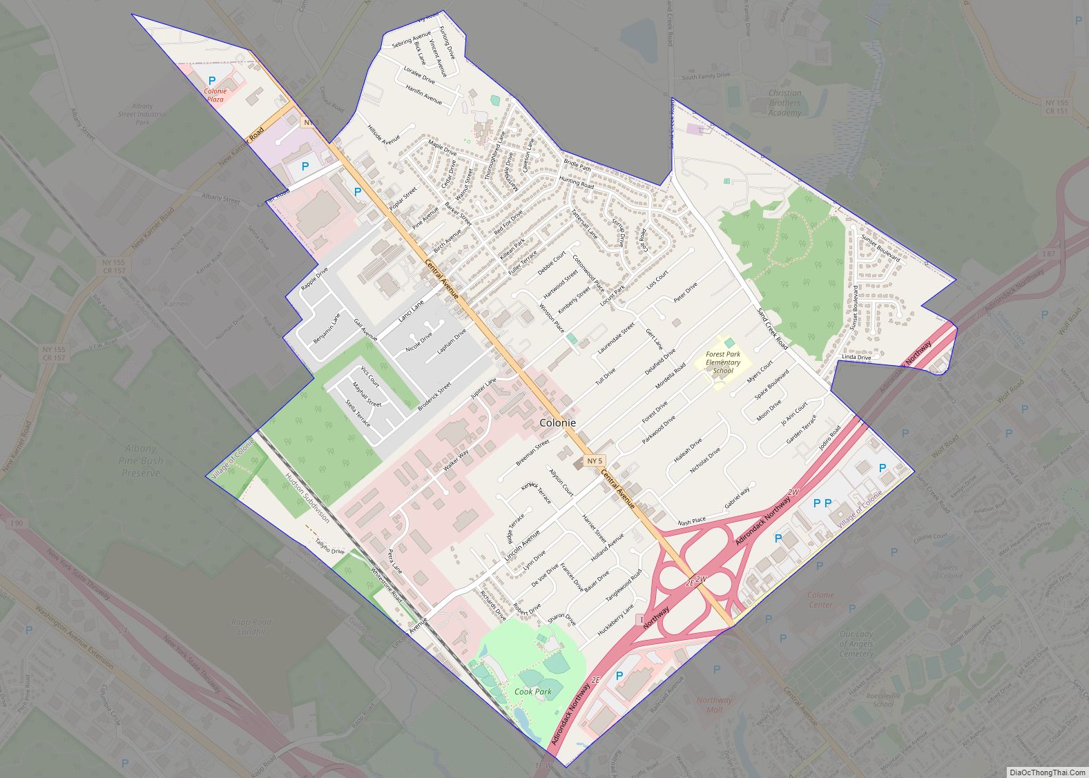
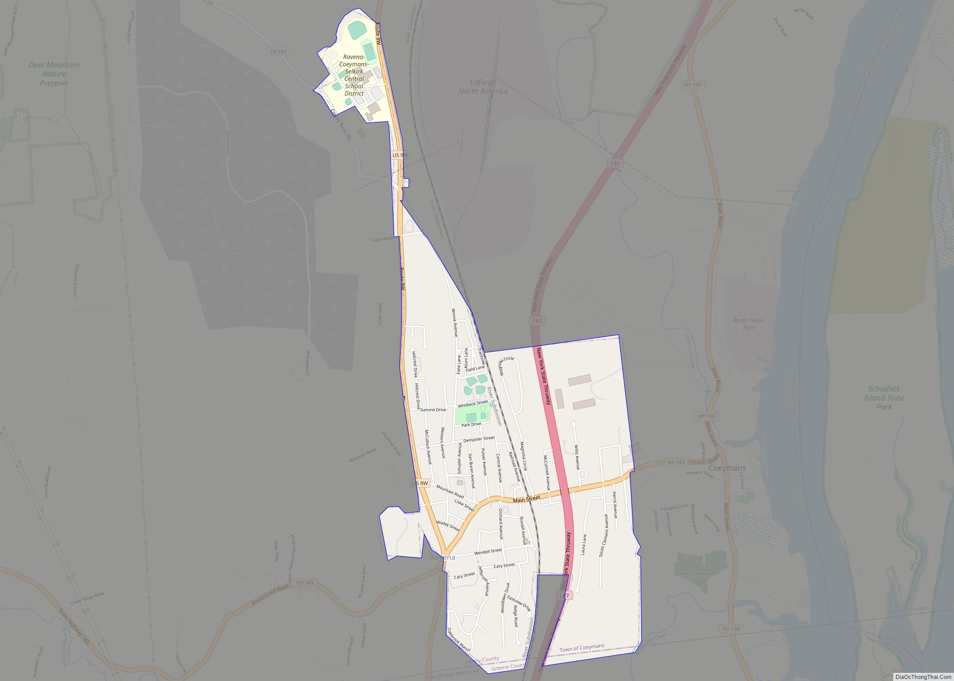
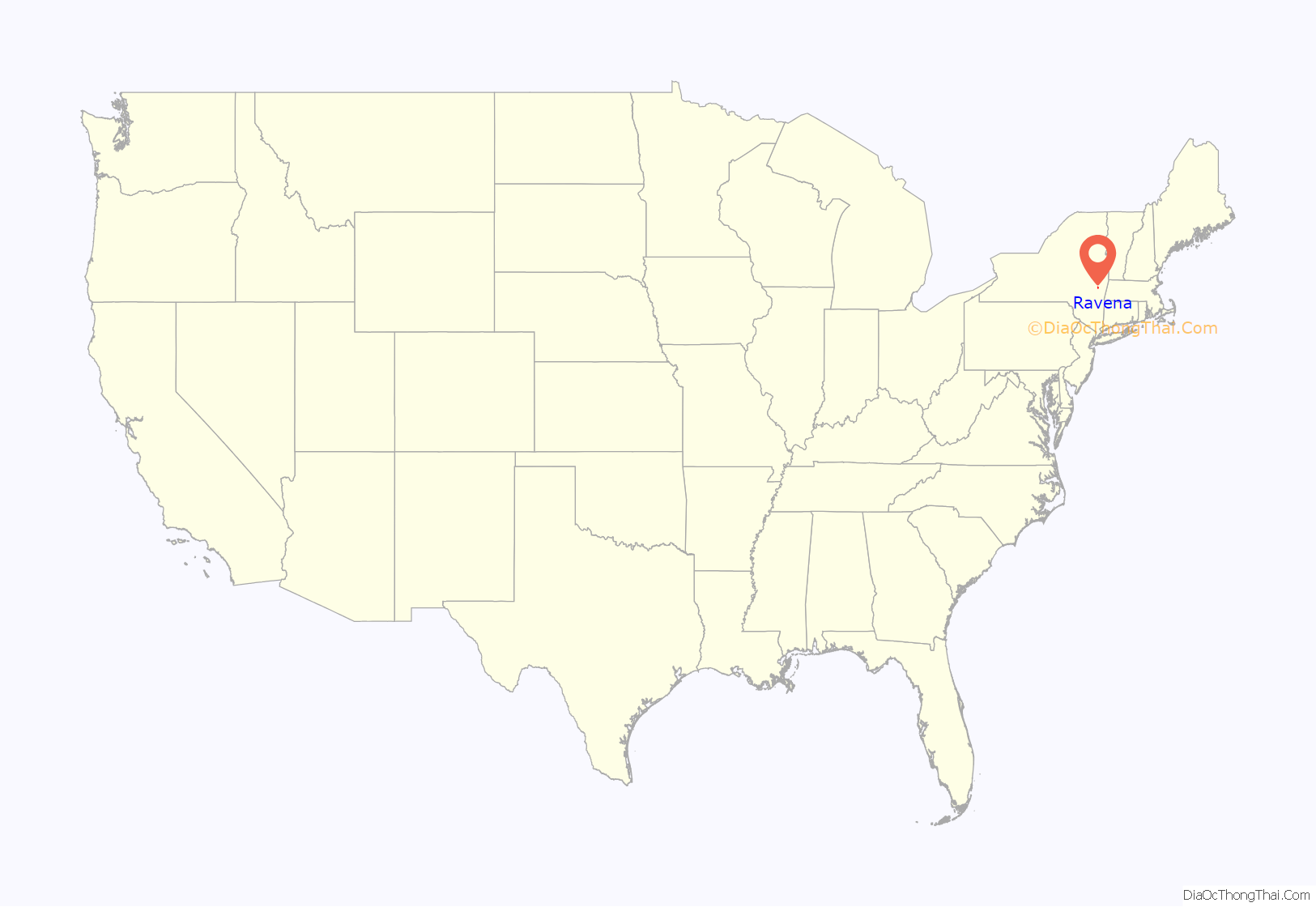
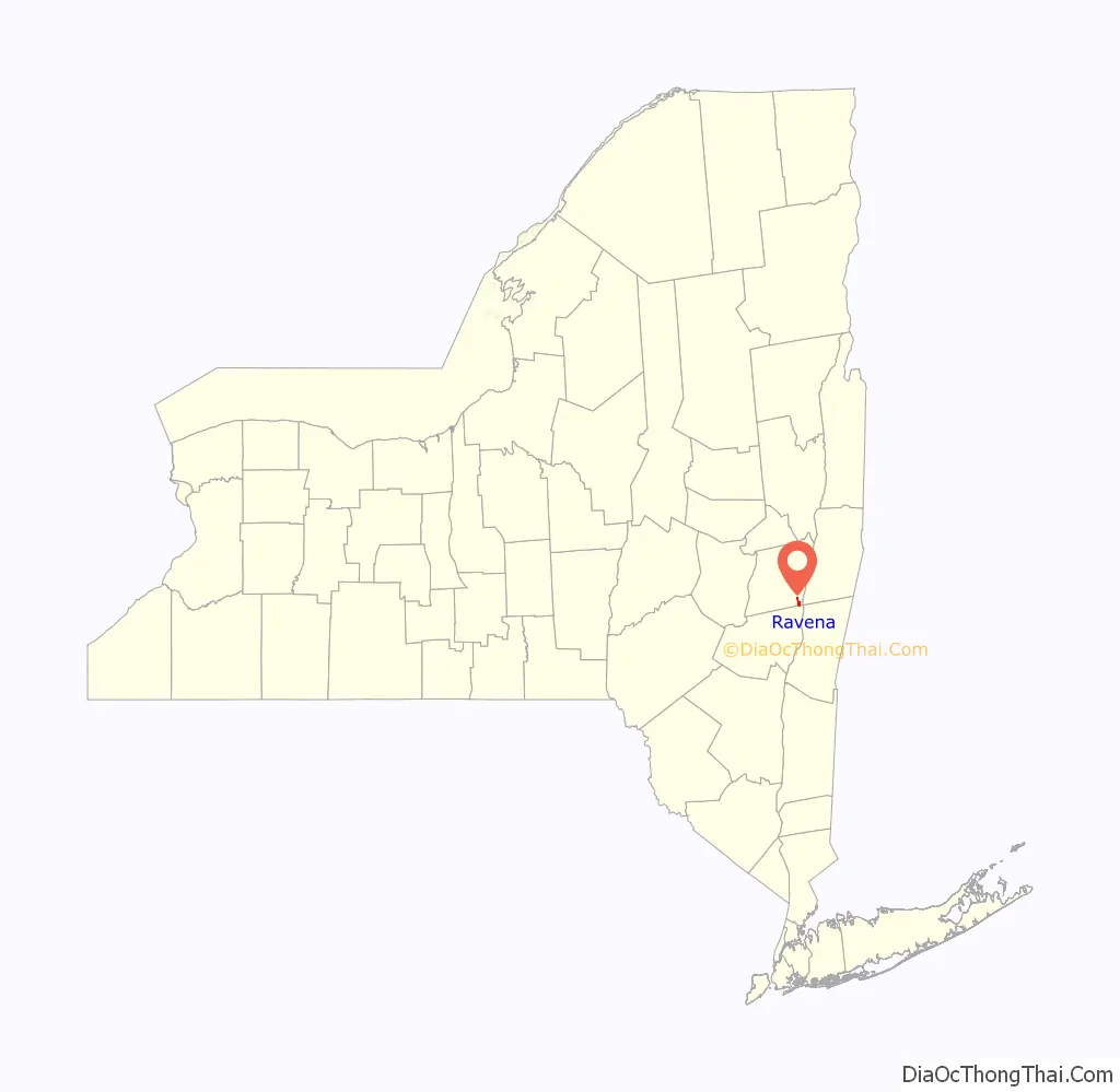
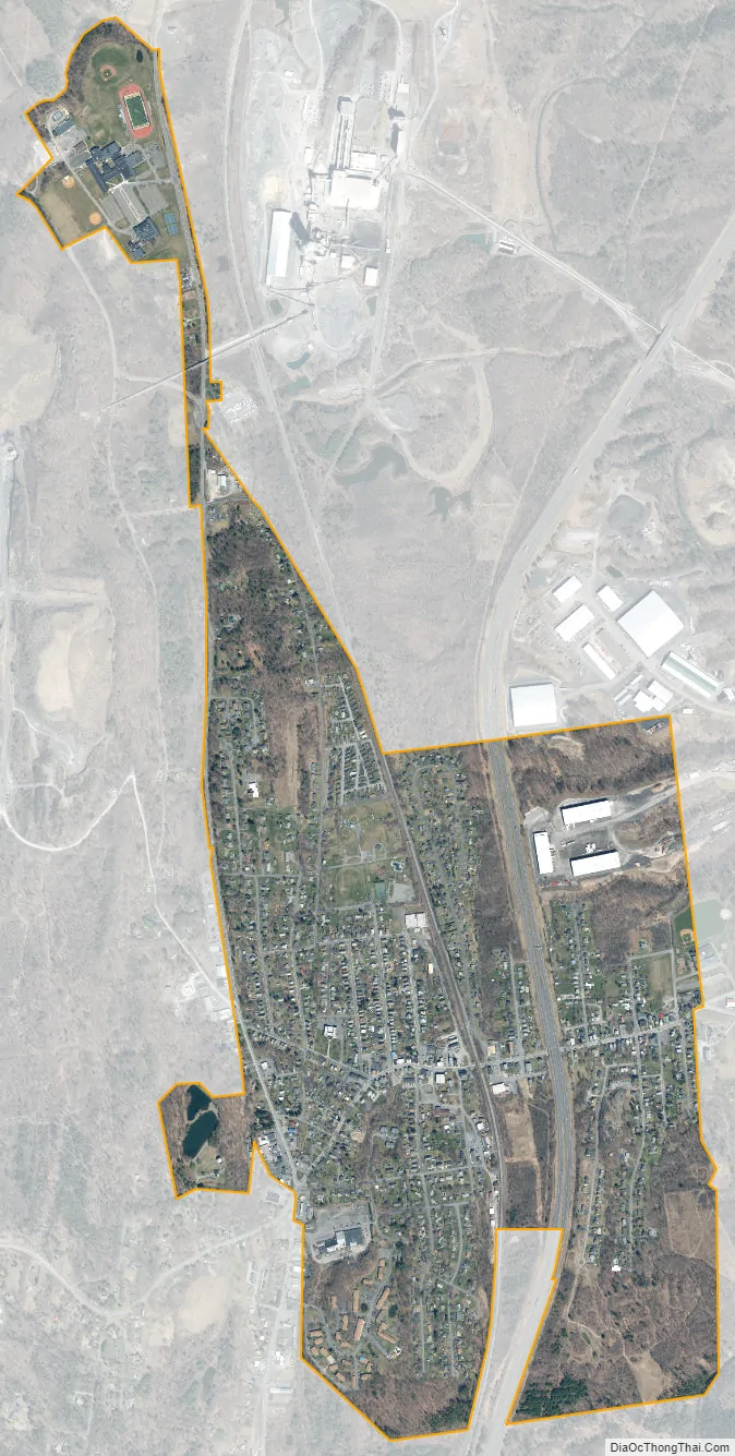
Ravena location map. Where is Ravena village?
History
The village of Ravena incorporated in 1914. Prior to its incorporation, it was known as “Coeymans Junction,” but the name was changed to “Ravena” to avoid confusion with another hamlet in the town, “Coeymans Landing.”
In 1894, a post office was established in Coeymans Junction bearing the name Ravena. The name source of the post office (and ultimately the village) is unclear. Some believe that the village’s proximity to cliffs on its western boundary lent to the area being referred to as the ravine. Others feel that a brand of flour, Raven, was the inspiration behind the name.
The Israel Shear House was listed on the National Register of Historic Places in 1996.
Ravena Road Map
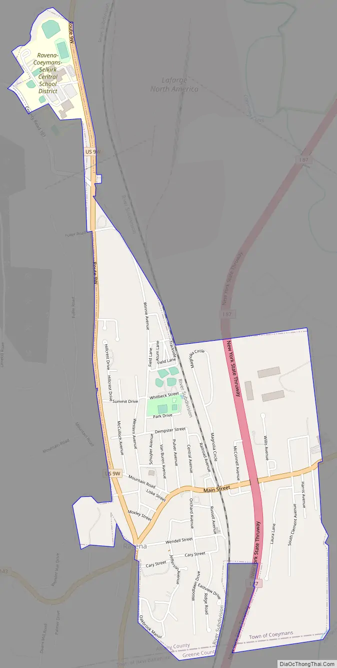
Ravena city Satellite Map
See also
Map of New York State and its subdivision:- Albany
- Allegany
- Bronx
- Broome
- Cattaraugus
- Cayuga
- Chautauqua
- Chemung
- Chenango
- Clinton
- Columbia
- Cortland
- Delaware
- Dutchess
- Erie
- Essex
- Franklin
- Fulton
- Genesee
- Greene
- Hamilton
- Herkimer
- Jefferson
- Kings
- Lake Ontario
- Lewis
- Livingston
- Madison
- Monroe
- Montgomery
- Nassau
- New York
- Niagara
- Oneida
- Onondaga
- Ontario
- Orange
- Orleans
- Oswego
- Otsego
- Putnam
- Queens
- Rensselaer
- Richmond
- Rockland
- Saint Lawrence
- Saratoga
- Schenectady
- Schoharie
- Schuyler
- Seneca
- Steuben
- Suffolk
- Sullivan
- Tioga
- Tompkins
- Ulster
- Warren
- Washington
- Wayne
- Westchester
- Wyoming
- Yates
- Alabama
- Alaska
- Arizona
- Arkansas
- California
- Colorado
- Connecticut
- Delaware
- District of Columbia
- Florida
- Georgia
- Hawaii
- Idaho
- Illinois
- Indiana
- Iowa
- Kansas
- Kentucky
- Louisiana
- Maine
- Maryland
- Massachusetts
- Michigan
- Minnesota
- Mississippi
- Missouri
- Montana
- Nebraska
- Nevada
- New Hampshire
- New Jersey
- New Mexico
- New York
- North Carolina
- North Dakota
- Ohio
- Oklahoma
- Oregon
- Pennsylvania
- Rhode Island
- South Carolina
- South Dakota
- Tennessee
- Texas
- Utah
- Vermont
- Virginia
- Washington
- West Virginia
- Wisconsin
- Wyoming