Roscoe is a hamlet (and census-designated place) in Sullivan County, New York, United States. The population was 541 at the 2010 census.
Roscoe is in the southwest part of the Town of Rockland, adjacent to New York State Route 17.
It is named for New York Senator Roscoe Conkling.
Roscoe calls itself “Trout Town, USA.” The town is a destination for fly-fishing enthusiasts because of its location at the intersection of two rivers popular for trout fishing (the Beaver Kill and the Willowemoc Creek).
The community is a popular stopping point for people traveling along Route 17 (between New York City and Binghamton, New York) because the facilities are right by the access road to the highway. These include gas stations and convenience stores.
| Name: | Roscoe CDP |
|---|---|
| LSAD Code: | 57 |
| LSAD Description: | CDP (suffix) |
| State: | New York |
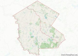
| County: | Sullivan County |
| Elevation: | 1,296 ft (395 m) |
| Total Area: | 0.98 sq mi (2.53 km²) |
| Land Area: | 0.97 sq mi (2.52 km²) |
| Water Area: | 0.00 sq mi (0.00 km²) |
| Total Population: | 497 |
| Population Density: | 509.74/sq mi (196.90/km²) |
| ZIP code: | 12776 |
| Area code: | 607 |
| FIPS code: | 3663583 |
| GNISfeature ID: | 0962895 |
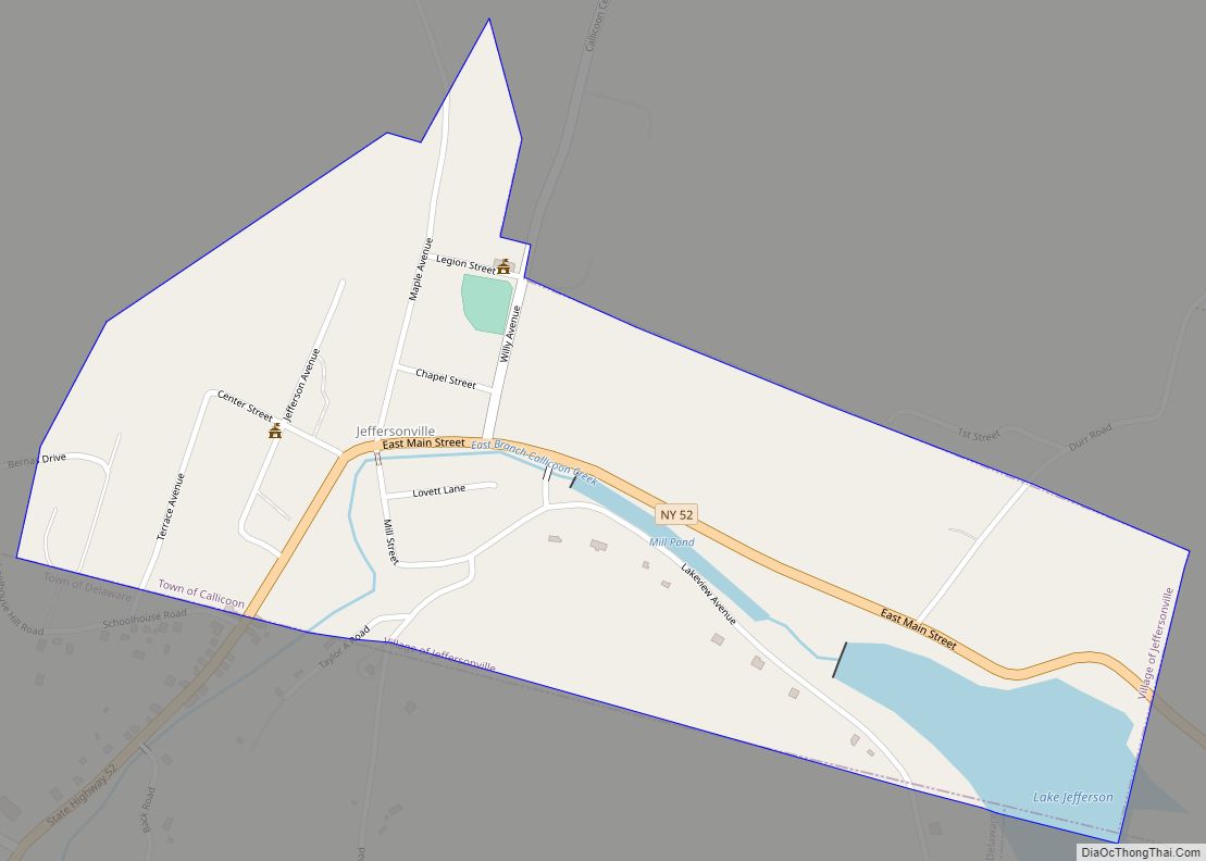
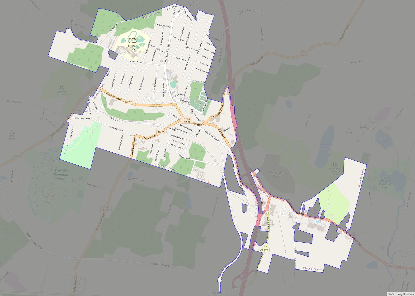
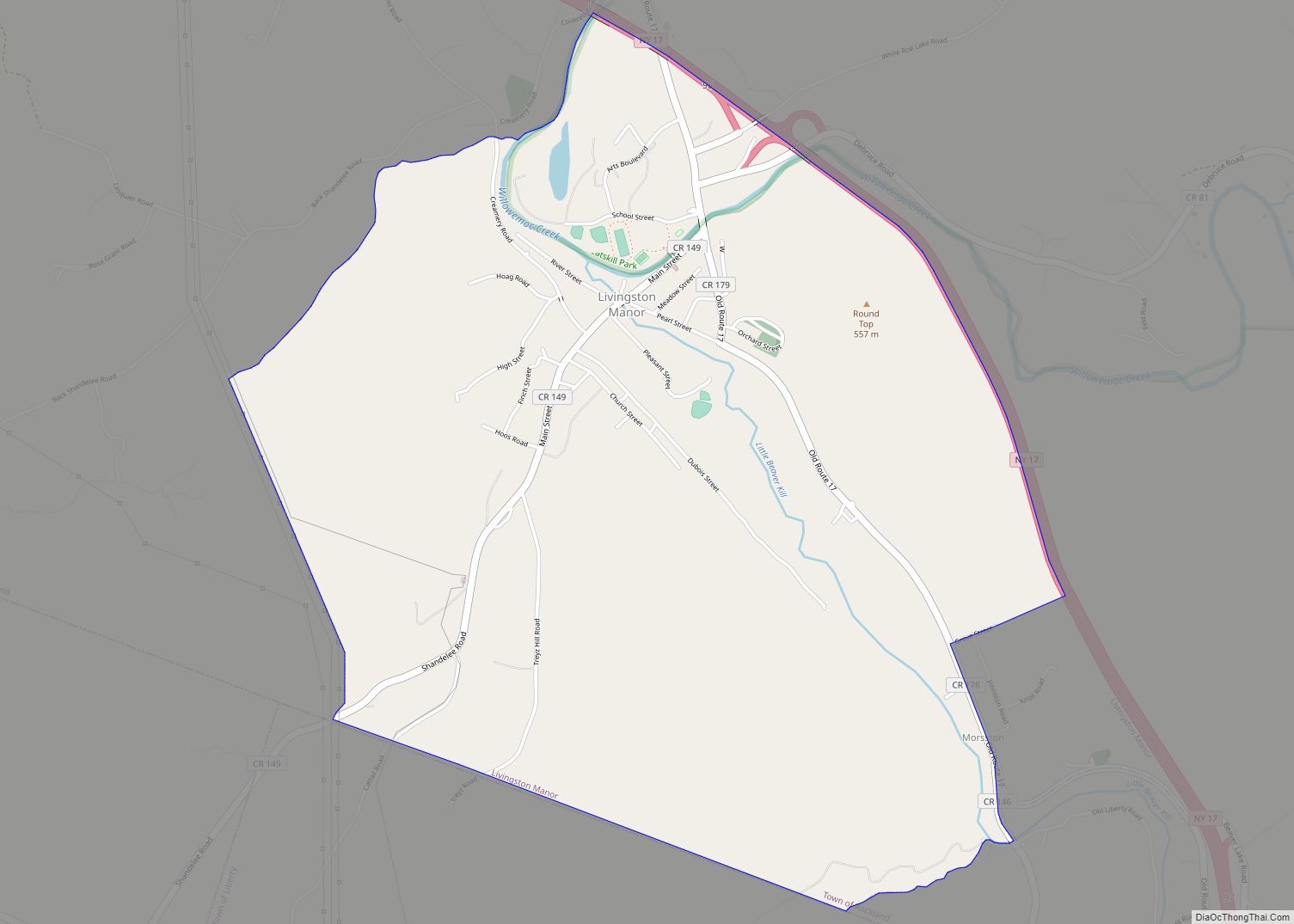
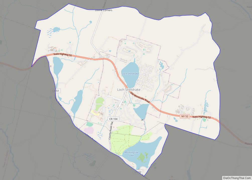
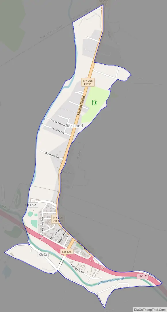
Online Interactive Map
Click on ![]() to view map in "full screen" mode.
to view map in "full screen" mode.
Roscoe location map. Where is Roscoe CDP?
History
In 1789 Roscoe was called Westfield Flats. It was the home of the Delaware Indians, where wolves roamed freely.
Roscoe, like most of the Catskills, was part of the Hardenbergh Patent in the early 18th century which in turn was purchased by the last Lord of the Manor of Livingston Manor, Robert Livingston. The first settlers were brothers who bought the area around Roscoe from Livingston’s son Jonathan Livingston. Stewart Street is one of the community’s main streets.
On November 19, 1916 a devastating fire destroyed 23 buildings in town, mostly along Stewart Avenue. Over 100 firefighters came from Livingston Manor and Liberty to help control the flames, but after firefighters lost water pressure they were unable to do very much. The Presbyterian Church was spared.
During the construction of New York State Route 17 (Southern Tier Expressway), the section near Roscoe was one of the last to be completed, requiring travelers to exit onto the local truck roads for several miles.
Roscoe is a frequent stopping point for those traveling Route 17 between New York City and Western New York. The Roscoe Diner is a popular spot both for students heading to and from colleges in New York State and for flyfishermen as well as locals.
The Dundas Castle and Roscoe Presbyterian Church and Westfield Flats Cemetery are listed on the National Register of Historic Places.
Despite being in Sullivan County, Roscoe is within area code 607 rather than 845 (originally part of area code 914) because an independent telephone company, known today as Citizens Telecom, furnishes the local service to Roscoe. This company also furnishes local service to the towns in neighboring Delaware County, whereas the adjacent towns in Sullivan County are serviced by Verizon, originally New York Telephone and later NYNEX.
Roscoe Road Map
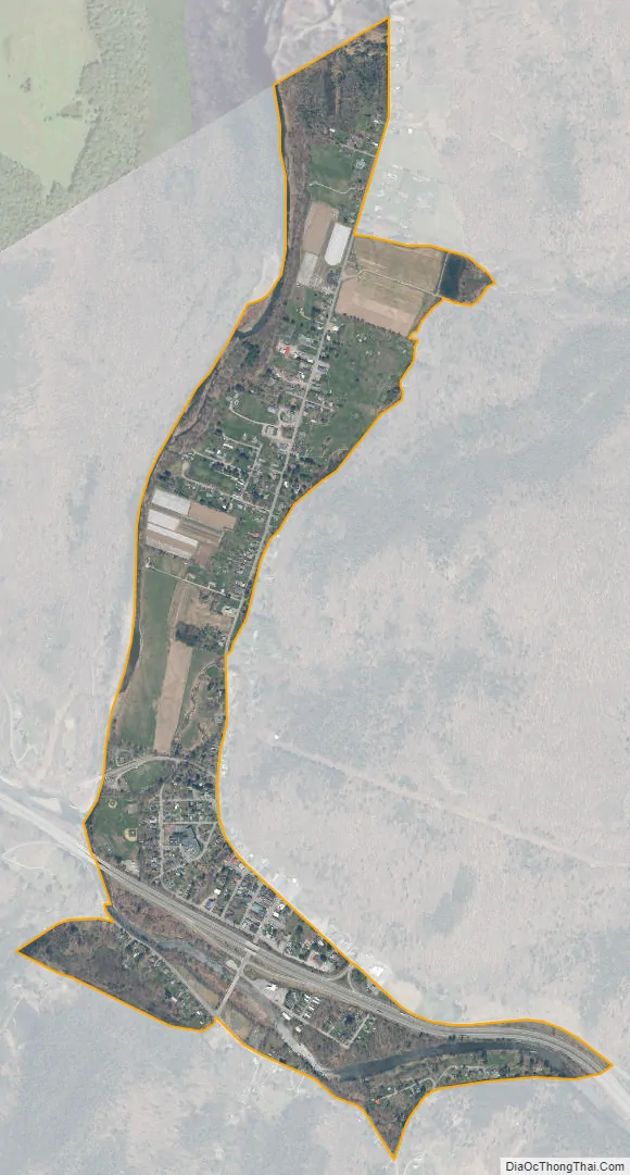
Roscoe city Satellite Map
Geography
Roscoe is located at 41°56′10″N 74°54′58″W / 41.936128°N 74.916121°W / 41.936128; -74.916121.
According to the United States Census Bureau, the CDP has a total area of 0.7 square miles (1.8 km), all land.
Roscoe is just inside the boundary of the Catskill Park and is at the junction of Beaver Kill and Willowemoc Creek.
See also
Map of New York State and its subdivision:- Albany
- Allegany
- Bronx
- Broome
- Cattaraugus
- Cayuga
- Chautauqua
- Chemung
- Chenango
- Clinton
- Columbia
- Cortland
- Delaware
- Dutchess
- Erie
- Essex
- Franklin
- Fulton
- Genesee
- Greene
- Hamilton
- Herkimer
- Jefferson
- Kings
- Lake Ontario
- Lewis
- Livingston
- Madison
- Monroe
- Montgomery
- Nassau
- New York
- Niagara
- Oneida
- Onondaga
- Ontario
- Orange
- Orleans
- Oswego
- Otsego
- Putnam
- Queens
- Rensselaer
- Richmond
- Rockland
- Saint Lawrence
- Saratoga
- Schenectady
- Schoharie
- Schuyler
- Seneca
- Steuben
- Suffolk
- Sullivan
- Tioga
- Tompkins
- Ulster
- Warren
- Washington
- Wayne
- Westchester
- Wyoming
- Yates
- Alabama
- Alaska
- Arizona
- Arkansas
- California
- Colorado
- Connecticut
- Delaware
- District of Columbia
- Florida
- Georgia
- Hawaii
- Idaho
- Illinois
- Indiana
- Iowa
- Kansas
- Kentucky
- Louisiana
- Maine
- Maryland
- Massachusetts
- Michigan
- Minnesota
- Mississippi
- Missouri
- Montana
- Nebraska
- Nevada
- New Hampshire
- New Jersey
- New Mexico
- New York
- North Carolina
- North Dakota
- Ohio
- Oklahoma
- Oregon
- Pennsylvania
- Rhode Island
- South Carolina
- South Dakota
- Tennessee
- Texas
- Utah
- Vermont
- Virginia
- Washington
- West Virginia
- Wisconsin
- Wyoming