Rotterdam is a census-designated place (CDP) in the town of Rotterdam in Schenectady County, New York, United States. It is a suburb of Schenectady. The population was 20,652 at the 2010 census.
| Name: | Rotterdam CDP |
|---|---|
| LSAD Code: | 57 |
| LSAD Description: | CDP (suffix) |
| State: | New York |
| County: | Schenectady County |
| Elevation: | 338 ft (103 m) |
| Total Area: | 8.21 sq mi (21.26 km²) |
| Land Area: | 8.20 sq mi (21.25 km²) |
| Water Area: | 0.01 sq mi (0.01 km²) |
| Total Population: | 22,968 |
| Population Density: | 2,799.61/sq mi (1,080.94/km²) |
| ZIP code: | 12306 |
| Area code: | 518 |
| FIPS code: | 3663924 |
| GNISfeature ID: | 0971936 |
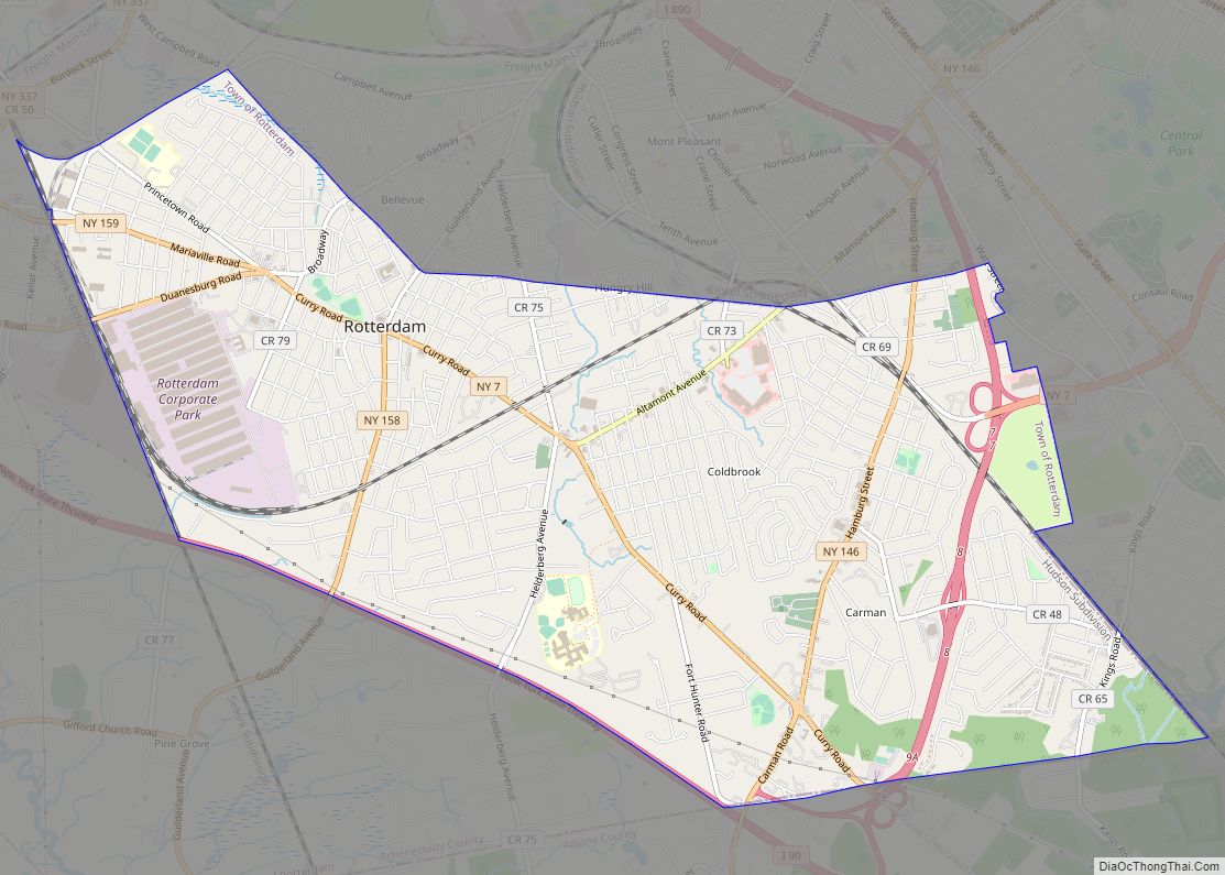
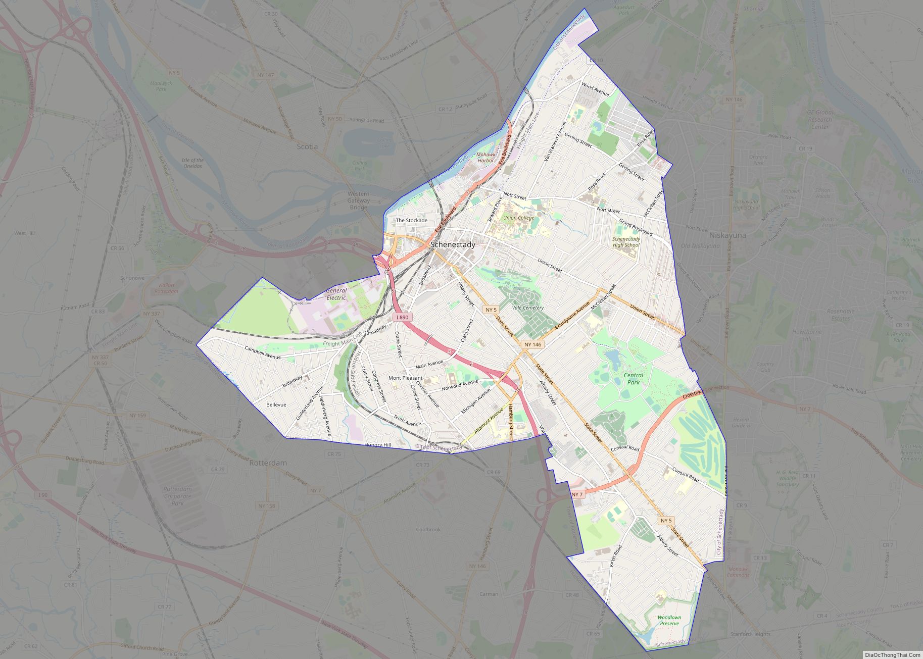
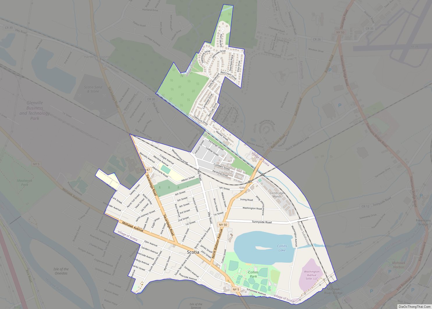
Online Interactive Map
Click on ![]() to view map in "full screen" mode.
to view map in "full screen" mode.
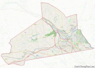
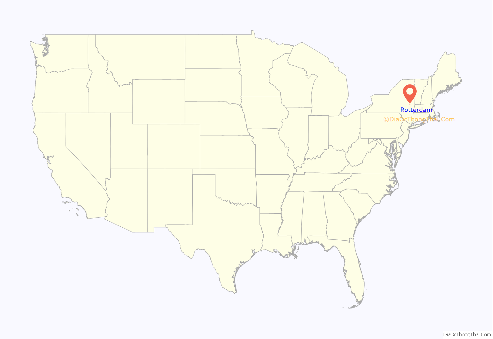
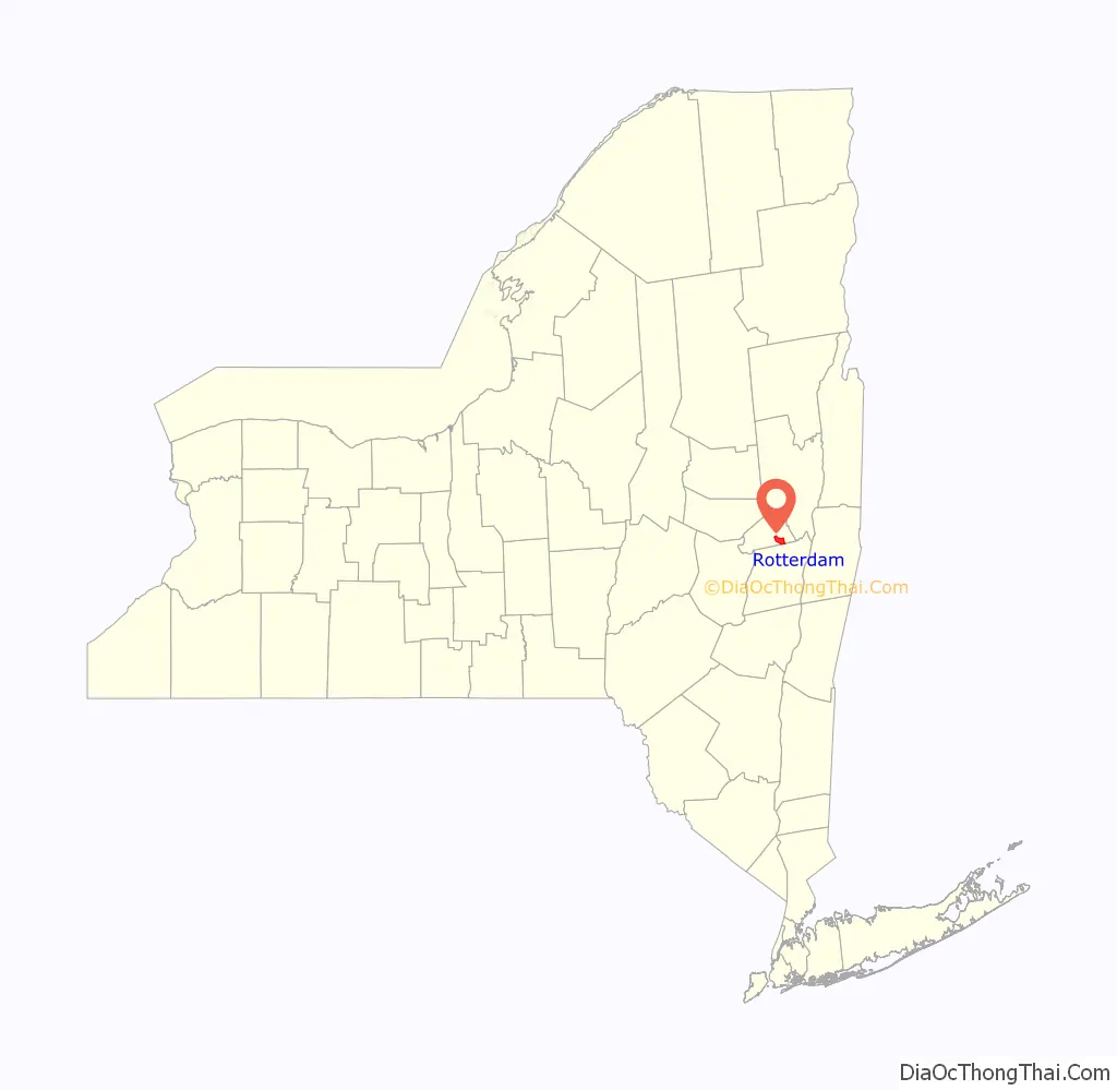
Rotterdam location map. Where is Rotterdam CDP?
History
Rotterdam was part of the Dutch colony on the eastern seaboard, and is named after Rotterdam, Netherlands, and as such antedates English settlement.
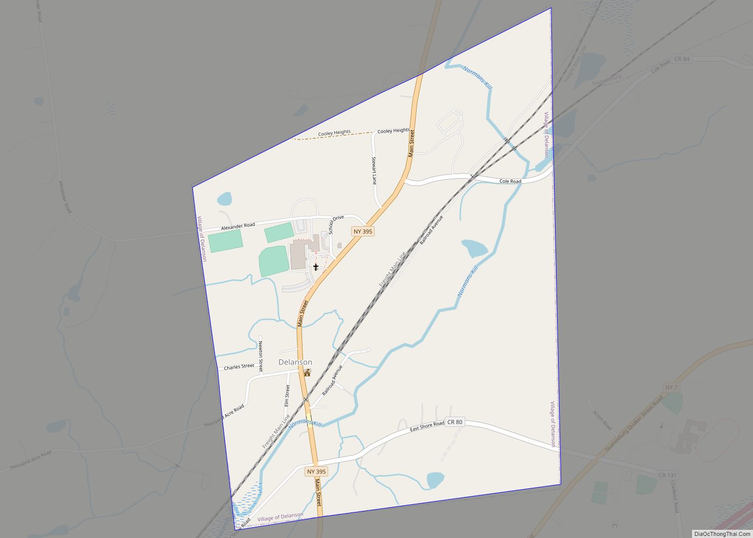
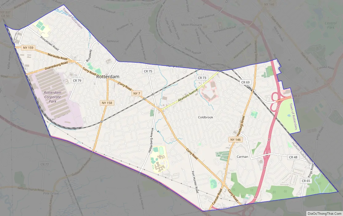
Rotterdam Road Map
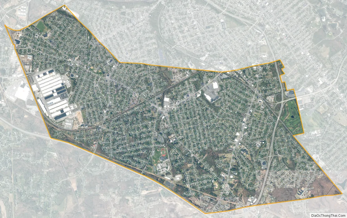
Rotterdam city Satellite Map
Geography
The Rotterdam CDP, located at 42°46′57″N 73°57′26″W / 42.78250°N 73.95722°W / 42.78250; -73.95722 (42.782776, -73.957261), comprises the urban part of the town of Rotterdam, adjacent to the city of Schenectady, which lies to the north and east. The CDP is bordered to the southwest by the New York State Thruway and to the south by the Albany County line. Neighborhoods in the CDP include (from west to east) South Schenectady, Coldbrook, and Carman.
According to the United States Census Bureau, the Rotterdam CDP has a total area of 6.9 mi (17.9 km), all land.
See also
Map of New York State and its subdivision:- Albany
- Allegany
- Bronx
- Broome
- Cattaraugus
- Cayuga
- Chautauqua
- Chemung
- Chenango
- Clinton
- Columbia
- Cortland
- Delaware
- Dutchess
- Erie
- Essex
- Franklin
- Fulton
- Genesee
- Greene
- Hamilton
- Herkimer
- Jefferson
- Kings
- Lake Ontario
- Lewis
- Livingston
- Madison
- Monroe
- Montgomery
- Nassau
- New York
- Niagara
- Oneida
- Onondaga
- Ontario
- Orange
- Orleans
- Oswego
- Otsego
- Putnam
- Queens
- Rensselaer
- Richmond
- Rockland
- Saint Lawrence
- Saratoga
- Schenectady
- Schoharie
- Schuyler
- Seneca
- Steuben
- Suffolk
- Sullivan
- Tioga
- Tompkins
- Ulster
- Warren
- Washington
- Wayne
- Westchester
- Wyoming
- Yates
- Alabama
- Alaska
- Arizona
- Arkansas
- California
- Colorado
- Connecticut
- Delaware
- District of Columbia
- Florida
- Georgia
- Hawaii
- Idaho
- Illinois
- Indiana
- Iowa
- Kansas
- Kentucky
- Louisiana
- Maine
- Maryland
- Massachusetts
- Michigan
- Minnesota
- Mississippi
- Missouri
- Montana
- Nebraska
- Nevada
- New Hampshire
- New Jersey
- New Mexico
- New York
- North Carolina
- North Dakota
- Ohio
- Oklahoma
- Oregon
- Pennsylvania
- Rhode Island
- South Carolina
- South Dakota
- Tennessee
- Texas
- Utah
- Vermont
- Virginia
- Washington
- West Virginia
- Wisconsin
- Wyoming