Salem is a hamlet (and census-designated place) located in the town of Salem in Washington County, New York, United States. It is part of the Glens Falls Metropolitan Statistical Area. The population was 946 at the 2010 census.
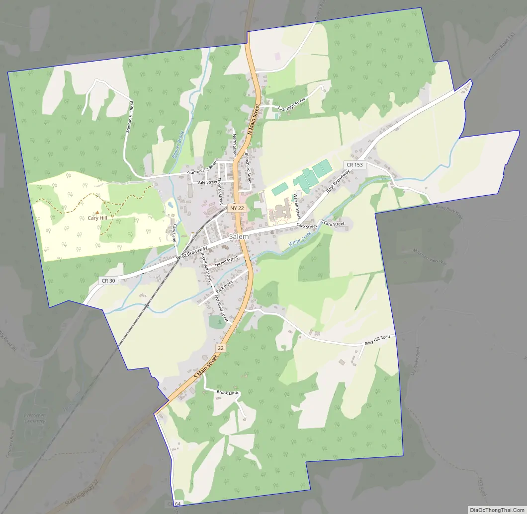
The hamlet is located in the north central part of Town of Salem, at the junction of New York State Route 22 and Washington County routes 30 and 153. It was an incorporated village from 1803 to 2016. Part of the county government was located here, including the jail and the Sheriff’s Department. The courthouse, formerly housing the jail, remains a historical landmark in the town. It was built from an E.F. Cummings design in 1869 and remained as the jail until 2004. The Sheriff’s Department opened its new sub-station south of the community on Route 22 in August 2007.
Government offices for the Town of Salem are located in the hamlet.
| Name: | Salem CDP |
|---|---|
| LSAD Code: | 57 |
| LSAD Description: | CDP (suffix) |
| State: | New York |
| County: | Washington County |
| Incorporated: | April 4, 1803 |
| Total Area: | 2.93 sq mi (7.60 km²) |
| Land Area: | 2.93 sq mi (7.60 km²) |
| Water Area: | 0.00 sq mi (0.00 km²) |
| Total Population: | 811 |
| Population Density: | 276.51/sq mi (106.74/km²) |
| ZIP code: | 12865 |
| Area code: | 518 |
| FIPS code: | 3664771 |
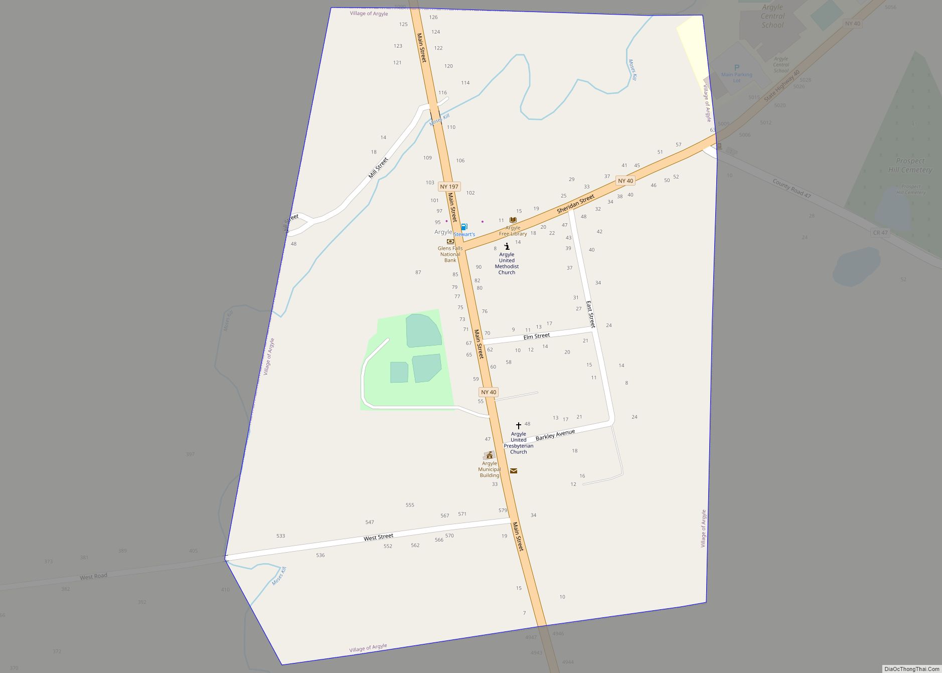
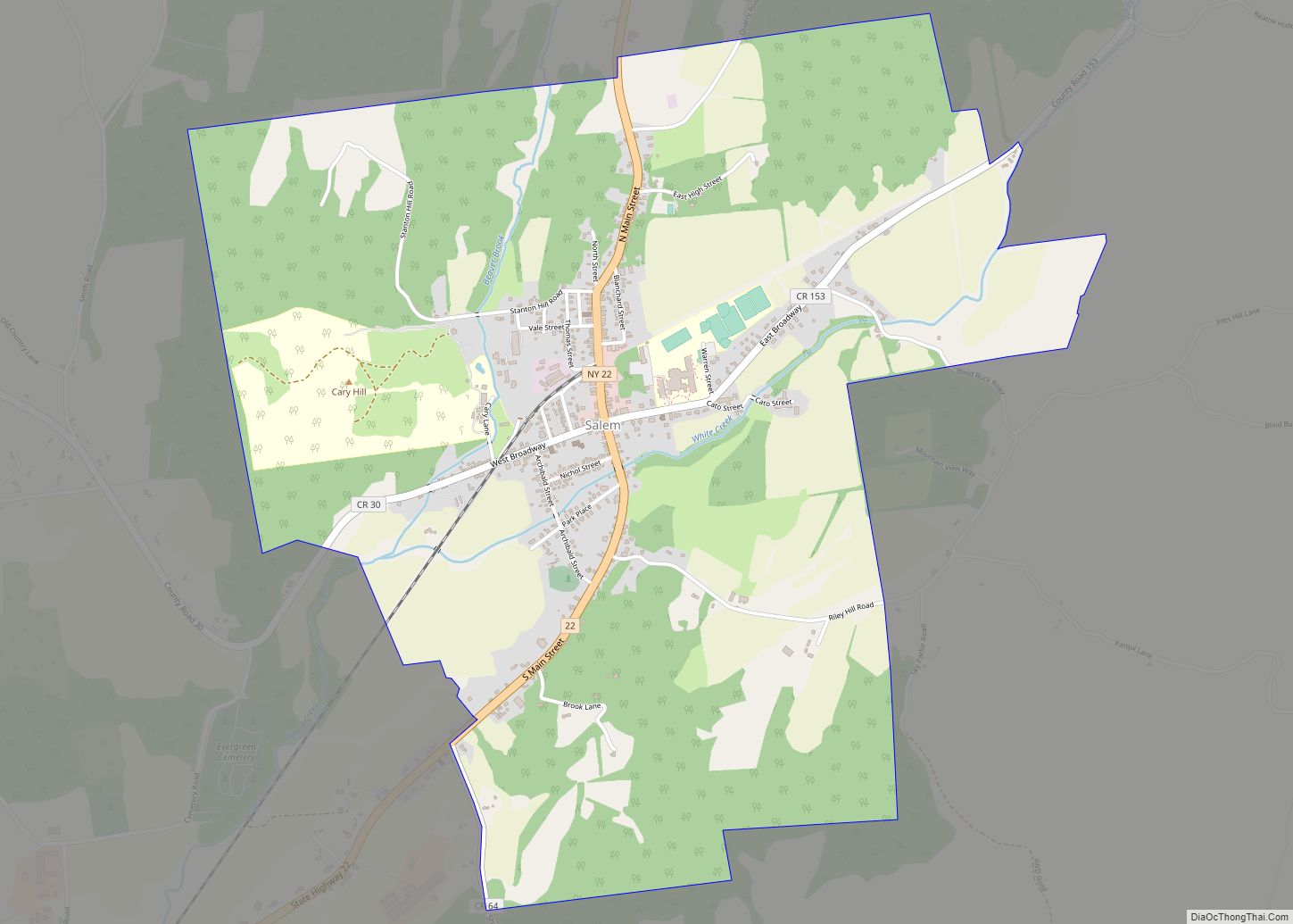
Online Interactive Map
Click on ![]() to view map in "full screen" mode.
to view map in "full screen" mode.
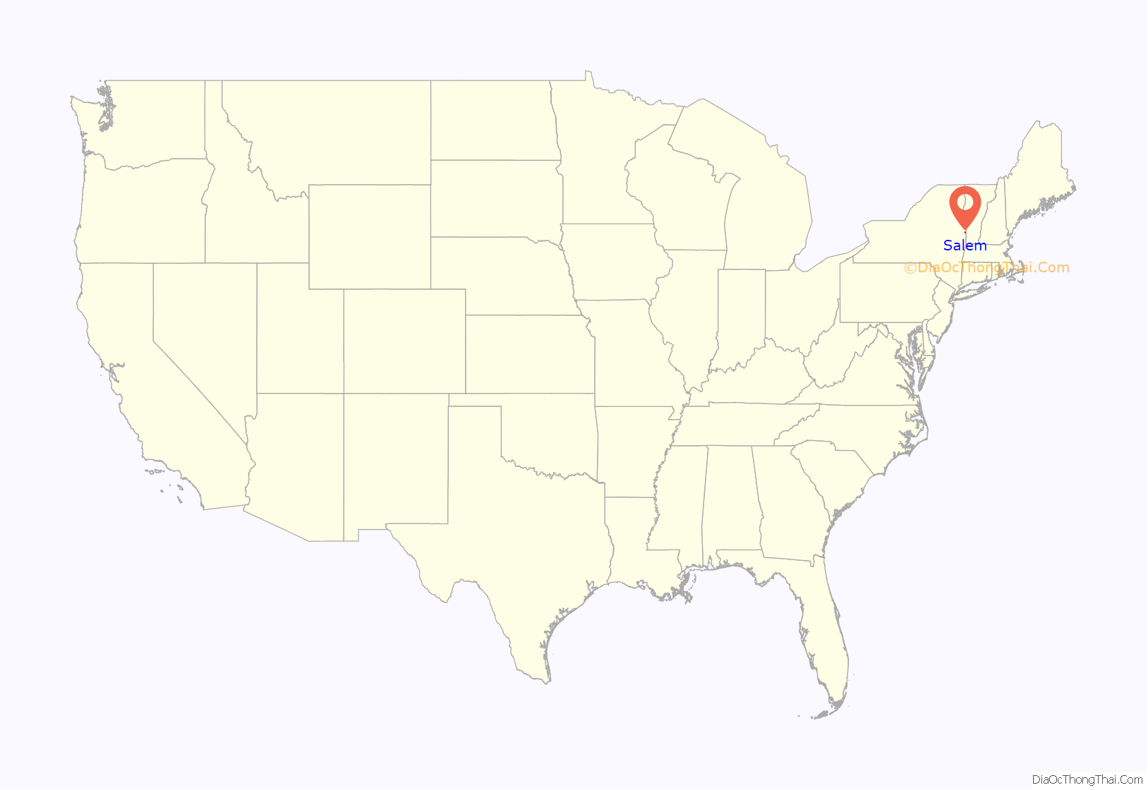
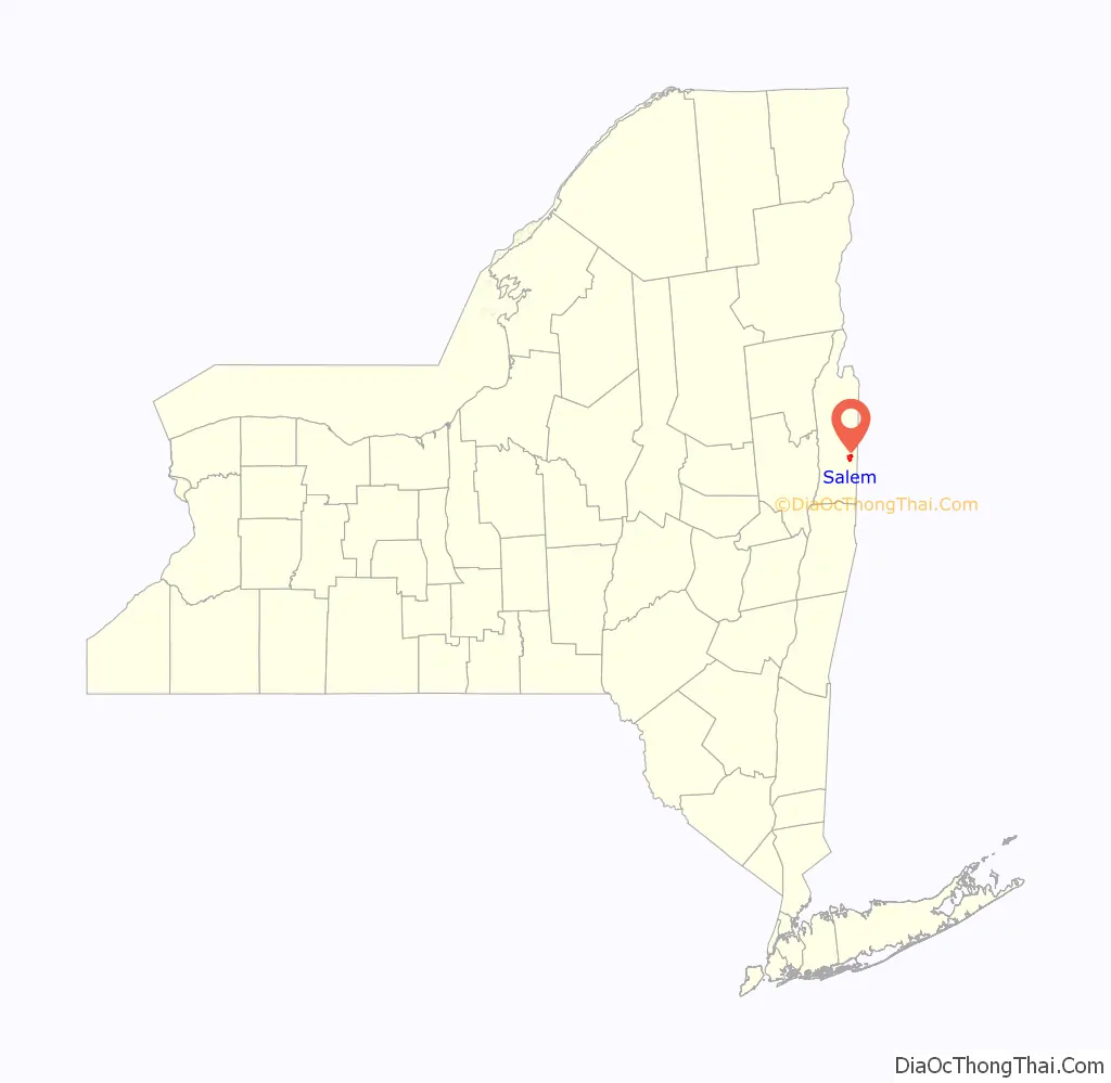
Salem location map. Where is Salem CDP?
History
The community was settled in 1762 by settlers from New England and Scotland while still part of Albany County. Salem was incorporated as a village in 1803.
The Salem Historic District and Revolutionary War Cemetery are listed on the National Register of Historic Places.
Residents voted in favor, 192 to 49, of dissolving the Village of Salem on August 5, 2014. A final dissolution plan was adopted and passed on April 16, 2015. The village officially dissolved on March 31, 2016. It should be classified as a census-designated place by the U.S. Census Bureau within the next couple years. All government activities previously managed by the village are now handled by the Town of Salem.
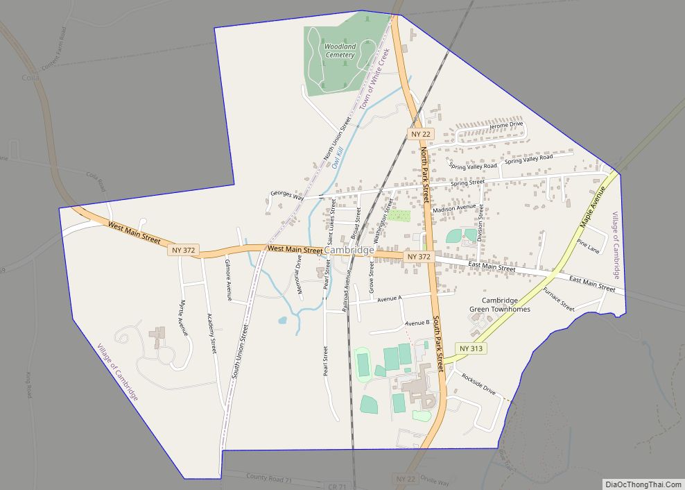
Salem Road Map
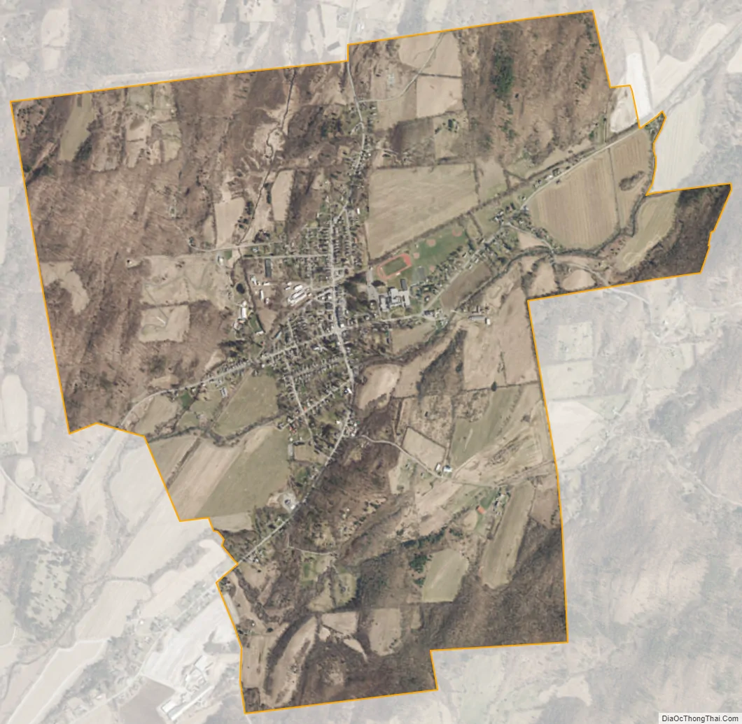
Salem city Satellite Map
Geography
According to the United States Census Bureau, the hamlet has a total area of 2.9 square miles (7.6 km)
NY Route 22 (Main Street) passes through the hamlet and intersects County Roads 30 and 153.
See also
Map of New York State and its subdivision:- Albany
- Allegany
- Bronx
- Broome
- Cattaraugus
- Cayuga
- Chautauqua
- Chemung
- Chenango
- Clinton
- Columbia
- Cortland
- Delaware
- Dutchess
- Erie
- Essex
- Franklin
- Fulton
- Genesee
- Greene
- Hamilton
- Herkimer
- Jefferson
- Kings
- Lake Ontario
- Lewis
- Livingston
- Madison
- Monroe
- Montgomery
- Nassau
- New York
- Niagara
- Oneida
- Onondaga
- Ontario
- Orange
- Orleans
- Oswego
- Otsego
- Putnam
- Queens
- Rensselaer
- Richmond
- Rockland
- Saint Lawrence
- Saratoga
- Schenectady
- Schoharie
- Schuyler
- Seneca
- Steuben
- Suffolk
- Sullivan
- Tioga
- Tompkins
- Ulster
- Warren
- Washington
- Wayne
- Westchester
- Wyoming
- Yates
- Alabama
- Alaska
- Arizona
- Arkansas
- California
- Colorado
- Connecticut
- Delaware
- District of Columbia
- Florida
- Georgia
- Hawaii
- Idaho
- Illinois
- Indiana
- Iowa
- Kansas
- Kentucky
- Louisiana
- Maine
- Maryland
- Massachusetts
- Michigan
- Minnesota
- Mississippi
- Missouri
- Montana
- Nebraska
- Nevada
- New Hampshire
- New Jersey
- New Mexico
- New York
- North Carolina
- North Dakota
- Ohio
- Oklahoma
- Oregon
- Pennsylvania
- Rhode Island
- South Carolina
- South Dakota
- Tennessee
- Texas
- Utah
- Vermont
- Virginia
- Washington
- West Virginia
- Wisconsin
- Wyoming