Saugerties South is a hamlet (and census-designated place) in Ulster County, New York, United States. The population was 2,442 at the 2020 census.
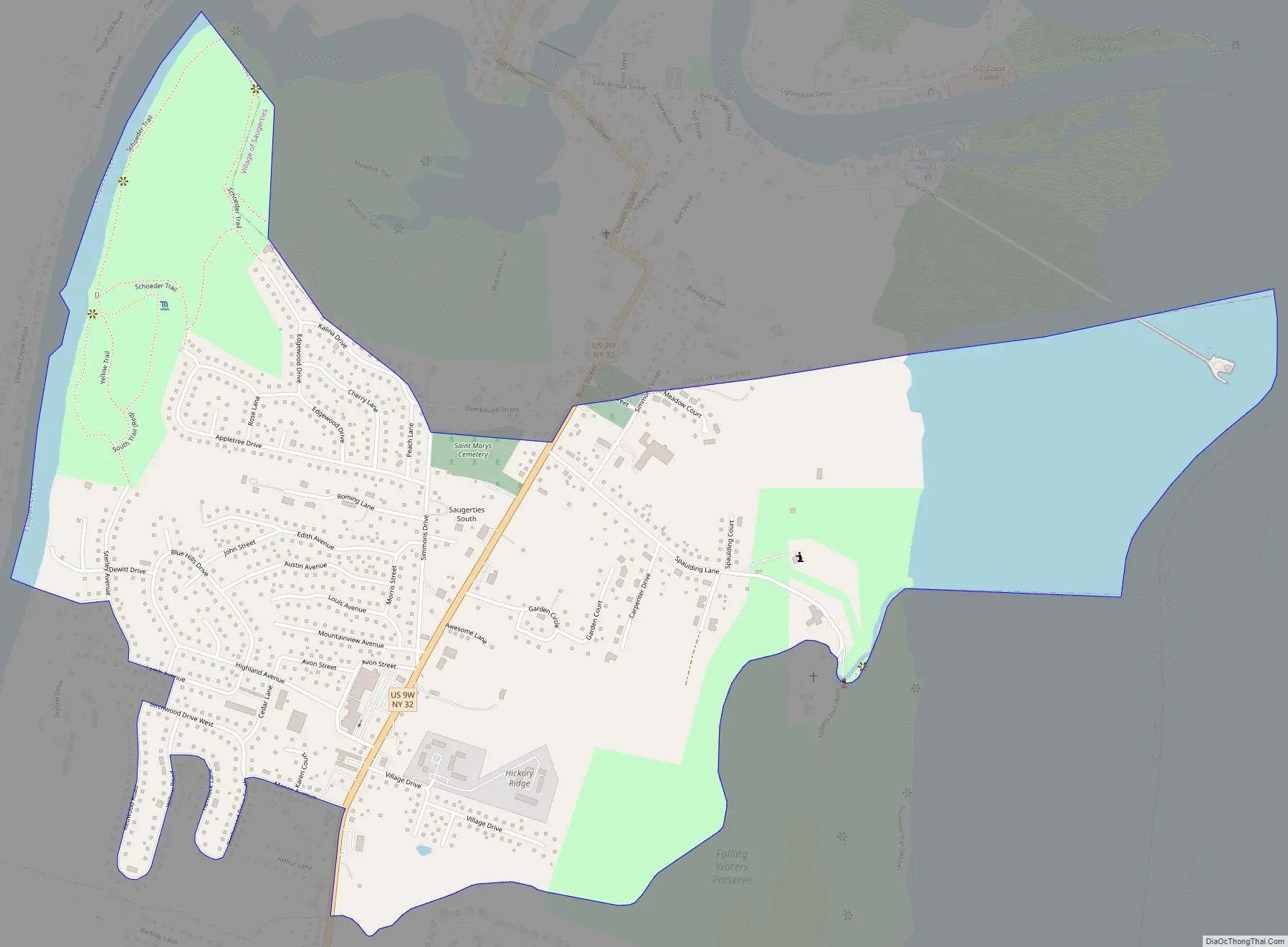
Saugerties South is a community south of the Village of Saugerties and Esopus Creek in the Town of Saugerties. U.S. Route 9W passes through the community.
| Name: | Saugerties South CDP |
|---|---|
| LSAD Code: | 57 |
| LSAD Description: | CDP (suffix) |
| State: | New York |
| County: | Ulster County |
| Total Area: | 1.29 sq mi (3.34 km²) |
| Land Area: | 1.07 sq mi (2.76 km²) |
| Water Area: | 0.22 sq mi (0.58 km²) |
| Total Population: | 2,442 |
| Population Density: | 2,290.81/sq mi (884.39/km²) |
| FIPS code: | 3665310 |
Online Interactive Map
Click on ![]() to view map in "full screen" mode.
to view map in "full screen" mode.
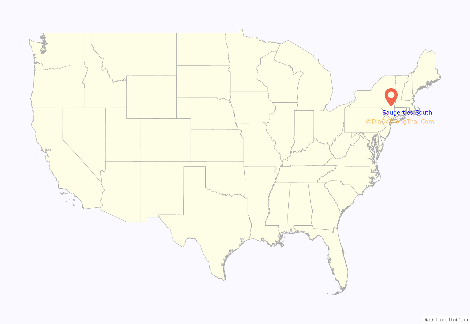
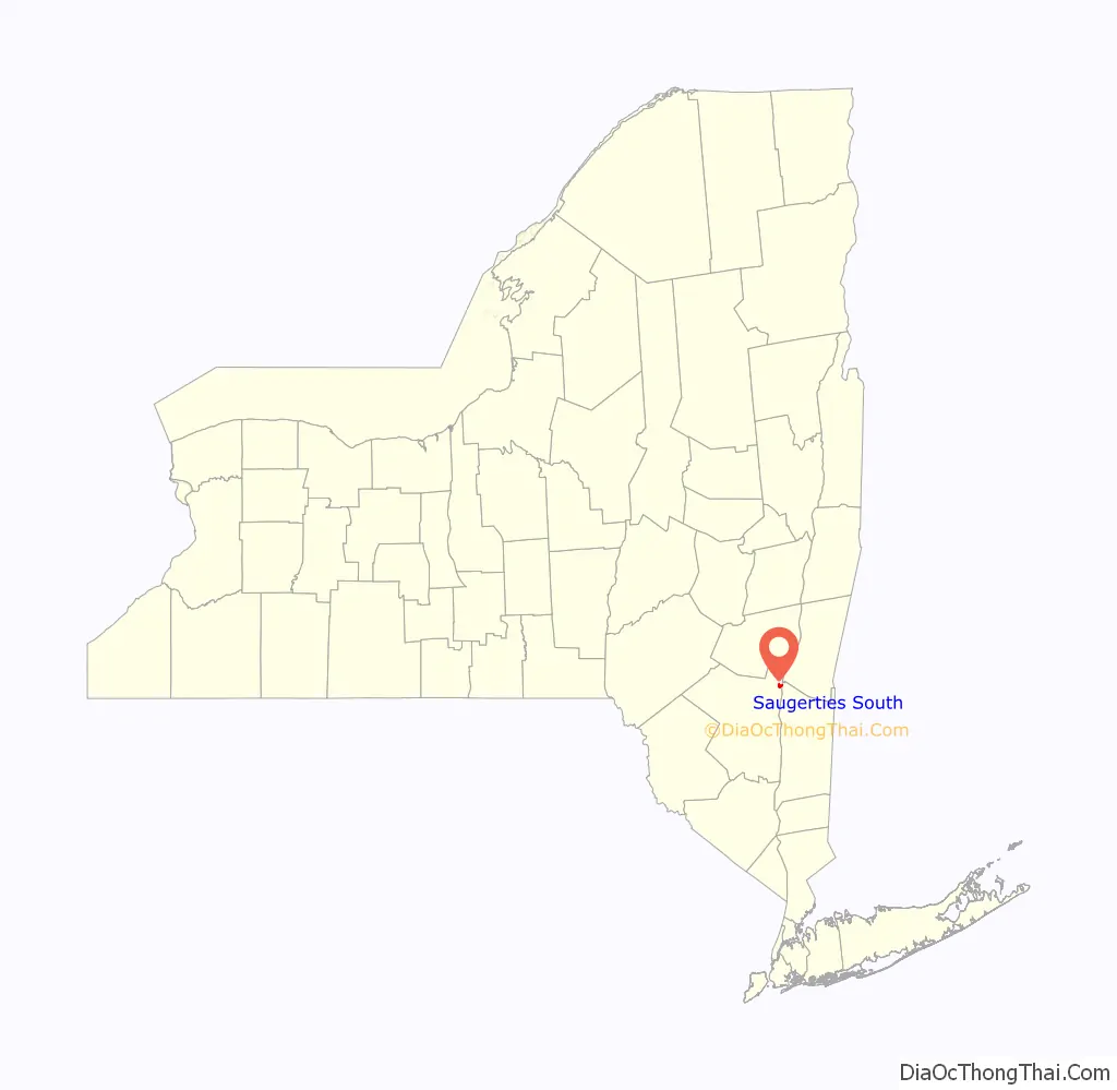
Saugerties South location map. Where is Saugerties South CDP?
Saugerties South Road Map
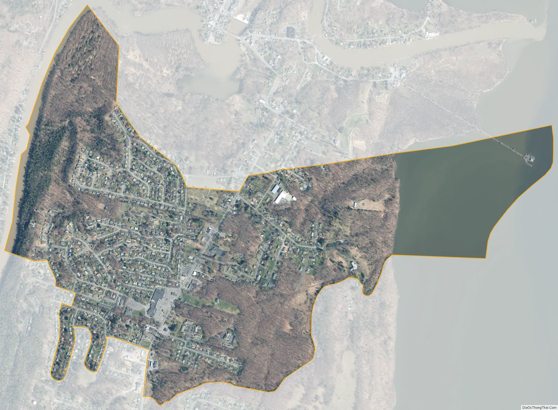
Saugerties South city Satellite Map
Geography
Saugerties South, also known as Barclay Heights, is located at 42°3′34″N 73°57′22″W / 42.05944°N 73.95611°W / 42.05944; -73.95611 (42.059450, -73.955975).
According to the United States Census Bureau, the CDP has a total area of 1.2 square miles (3.1 km), of which 1.0 square miles (2.5 km) is land and 0.2 square mile (0.6 km) (19.83%) is water.
The community lies on the west bank of the Hudson River.
See also
Map of New York State and its subdivision:- Albany
- Allegany
- Bronx
- Broome
- Cattaraugus
- Cayuga
- Chautauqua
- Chemung
- Chenango
- Clinton
- Columbia
- Cortland
- Delaware
- Dutchess
- Erie
- Essex
- Franklin
- Fulton
- Genesee
- Greene
- Hamilton
- Herkimer
- Jefferson
- Kings
- Lake Ontario
- Lewis
- Livingston
- Madison
- Monroe
- Montgomery
- Nassau
- New York
- Niagara
- Oneida
- Onondaga
- Ontario
- Orange
- Orleans
- Oswego
- Otsego
- Putnam
- Queens
- Rensselaer
- Richmond
- Rockland
- Saint Lawrence
- Saratoga
- Schenectady
- Schoharie
- Schuyler
- Seneca
- Steuben
- Suffolk
- Sullivan
- Tioga
- Tompkins
- Ulster
- Warren
- Washington
- Wayne
- Westchester
- Wyoming
- Yates
- Alabama
- Alaska
- Arizona
- Arkansas
- California
- Colorado
- Connecticut
- Delaware
- District of Columbia
- Florida
- Georgia
- Hawaii
- Idaho
- Illinois
- Indiana
- Iowa
- Kansas
- Kentucky
- Louisiana
- Maine
- Maryland
- Massachusetts
- Michigan
- Minnesota
- Mississippi
- Missouri
- Montana
- Nebraska
- Nevada
- New Hampshire
- New Jersey
- New Mexico
- New York
- North Carolina
- North Dakota
- Ohio
- Oklahoma
- Oregon
- Pennsylvania
- Rhode Island
- South Carolina
- South Dakota
- Tennessee
- Texas
- Utah
- Vermont
- Virginia
- Washington
- West Virginia
- Wisconsin
- Wyoming


