Sodus Point is a village in Wayne County, New York, United States. The population was 900 at the 2010 census. However, the last official US Census in 2020 recorded the population at 822. The name is derived from a nearby body of water, Sodus Bay. It is considered to be within the larger Rochester metropolitan area.
The Village of Sodus Point is in the northeastern part of the Town of Sodus. This is a lakeside community surrounded on three sides by water.
| Name: | Sodus Point village |
|---|---|
| LSAD Code: | 47 |
| LSAD Description: | village (suffix) |
| State: | New York |
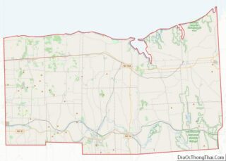
| County: | Wayne County |
| Incorporated: | December 30, 1957; 65 years ago (1957-12-30) |
| Elevation: | 276 ft (84 m) |
| Total Area: | 1.47 sq mi (3.81 km²) |
| Land Area: | 1.47 sq mi (3.80 km²) |
| Water Area: | 0.01 sq mi (0.02 km²) |
| Total Population: | 822 |
| Population Density: | 560.71/sq mi (216.52/km²) |
| ZIP code: | 14555 |
| Area code: | 315 and 680 |
| FIPS code: | 3668242 |
| GNISfeature ID: | 0965624 |
| Website: | http://www.soduspoint.info/ |
Online Interactive Map
Click on ![]() to view map in "full screen" mode.
to view map in "full screen" mode.
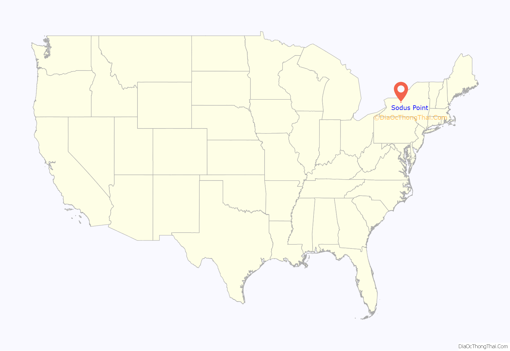
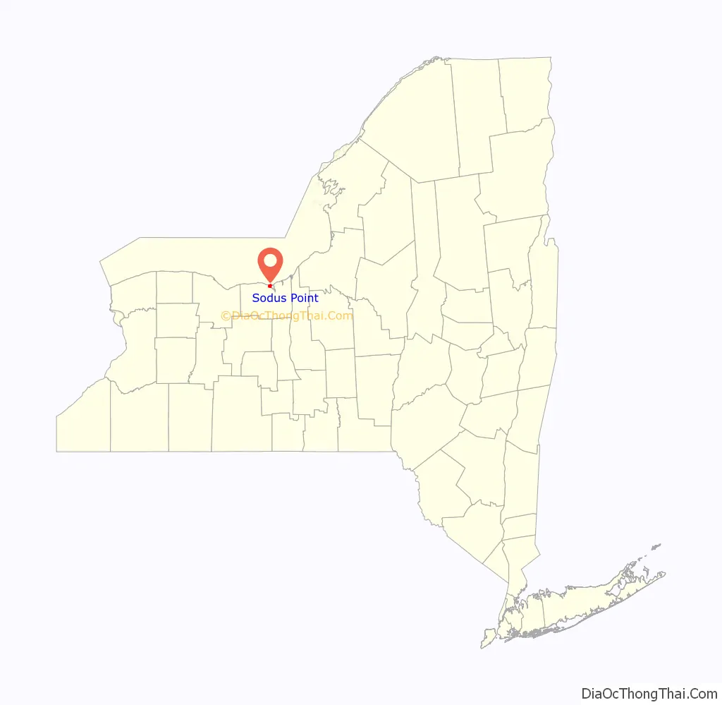
Sodus Point location map. Where is Sodus Point village?
History
In 1794, the village was the site of the first European-American settlement in Sodus town. Before the American Revolution, the area for centuries was the territory of the Onondaga Nation.
During the War of 1812, the village was burned by a British raiding party, leaving all but one building demolished. The village was rebuilt.
The area became an important port on Lake Ontario in the 19th Century. As the Erie Canal shifted state transportation patterns, the village’s function as a port declined. In the later 19th century, it became a popular vacation resort, especially for people from Chicago and other cities during the summers.
Sodus Point was incorporated in 1957.
The schooner Lotus, Customs House, and Sodus Point Light are listed on the National Register of Historic Places. Writer Elizabeth F. Ellet was a native of the town.
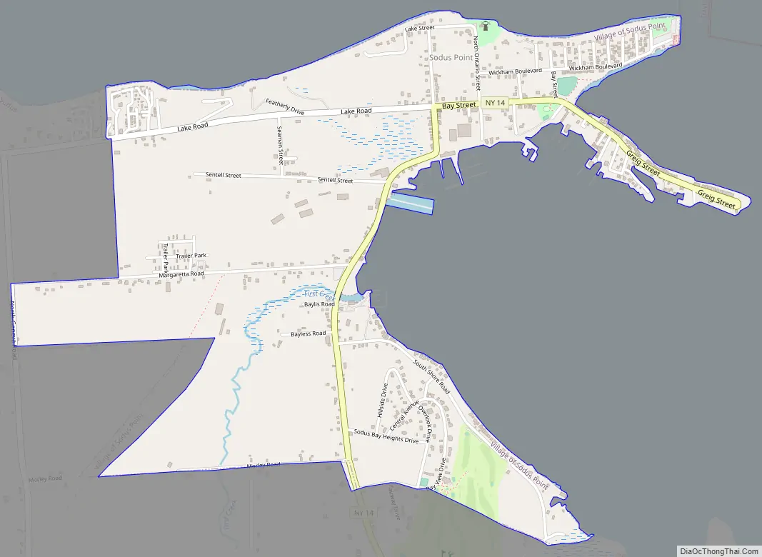
Sodus Point Road Map
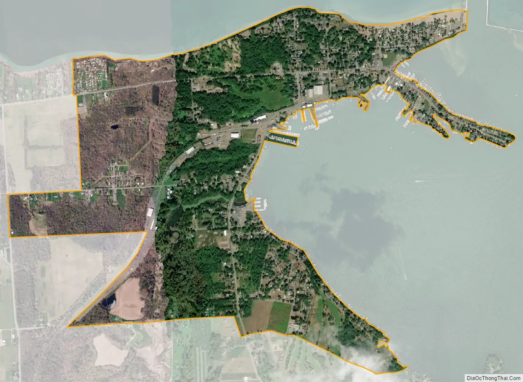
Sodus Point city Satellite Map
Geography
Sodus Point is located at 43°16′10″N 76°59′15″W / 43.26944°N 76.98750°W / 43.26944; -76.98750 (43.269332, -76.987608).
According to the United States Census Bureau, the village has a total area of 1.5 square miles (3.9 km), of which 1.5 square miles (3.9 km) is land and 0.67% is water.
The village is on the shore of Lake Ontario on a point of land on the northwest edge of Sodus Bay, an arm of Lake Ontario. The name “Sodus” reportedly is derived from a native word meaning “gleam on the water.” Another possible origin is the Iroquois “Land of Silver Waters.”
County Road 101 (Lake Road/Lake Avenue) leads into the village from the west. New York State Route 14 has its northern terminus at the village.
See also
Map of New York State and its subdivision:- Albany
- Allegany
- Bronx
- Broome
- Cattaraugus
- Cayuga
- Chautauqua
- Chemung
- Chenango
- Clinton
- Columbia
- Cortland
- Delaware
- Dutchess
- Erie
- Essex
- Franklin
- Fulton
- Genesee
- Greene
- Hamilton
- Herkimer
- Jefferson
- Kings
- Lake Ontario
- Lewis
- Livingston
- Madison
- Monroe
- Montgomery
- Nassau
- New York
- Niagara
- Oneida
- Onondaga
- Ontario
- Orange
- Orleans
- Oswego
- Otsego
- Putnam
- Queens
- Rensselaer
- Richmond
- Rockland
- Saint Lawrence
- Saratoga
- Schenectady
- Schoharie
- Schuyler
- Seneca
- Steuben
- Suffolk
- Sullivan
- Tioga
- Tompkins
- Ulster
- Warren
- Washington
- Wayne
- Westchester
- Wyoming
- Yates
- Alabama
- Alaska
- Arizona
- Arkansas
- California
- Colorado
- Connecticut
- Delaware
- District of Columbia
- Florida
- Georgia
- Hawaii
- Idaho
- Illinois
- Indiana
- Iowa
- Kansas
- Kentucky
- Louisiana
- Maine
- Maryland
- Massachusetts
- Michigan
- Minnesota
- Mississippi
- Missouri
- Montana
- Nebraska
- Nevada
- New Hampshire
- New Jersey
- New Mexico
- New York
- North Carolina
- North Dakota
- Ohio
- Oklahoma
- Oregon
- Pennsylvania
- Rhode Island
- South Carolina
- South Dakota
- Tennessee
- Texas
- Utah
- Vermont
- Virginia
- Washington
- West Virginia
- Wisconsin
- Wyoming