South Glens Falls is a village in Saratoga County, New York, United States. The population was 3,518 at the 2010 census. The village is in the northern part of the Town of Moreau, south of the City of Glens Falls.
Cooper’s Cave, shown on the village seal, is named after the author, James Fenimore Cooper. Cooper was inspired to use the area as a location in his novel, The Last of The Mohicans, after visiting the area.
| Name: | South Glens Falls village |
|---|---|
| LSAD Code: | 47 |
| LSAD Description: | village (suffix) |
| State: | New York |
| County: | Saratoga County |
| Elevation: | 344 ft (105 m) |
| Total Area: | 1.49 sq mi (3.86 km²) |
| Land Area: | 1.36 sq mi (3.52 km²) |
| Water Area: | 0.13 sq mi (0.34 km²) |
| Total Population: | 3,744 |
| Population Density: | 2,757.00/sq mi (1,064.15/km²) |
| ZIP code: | 12803 |
| Area code: | 518 |
| FIPS code: | 3669078 |
| GNISfeature ID: | 0970626 |
| Website: | www.sgfny.com |
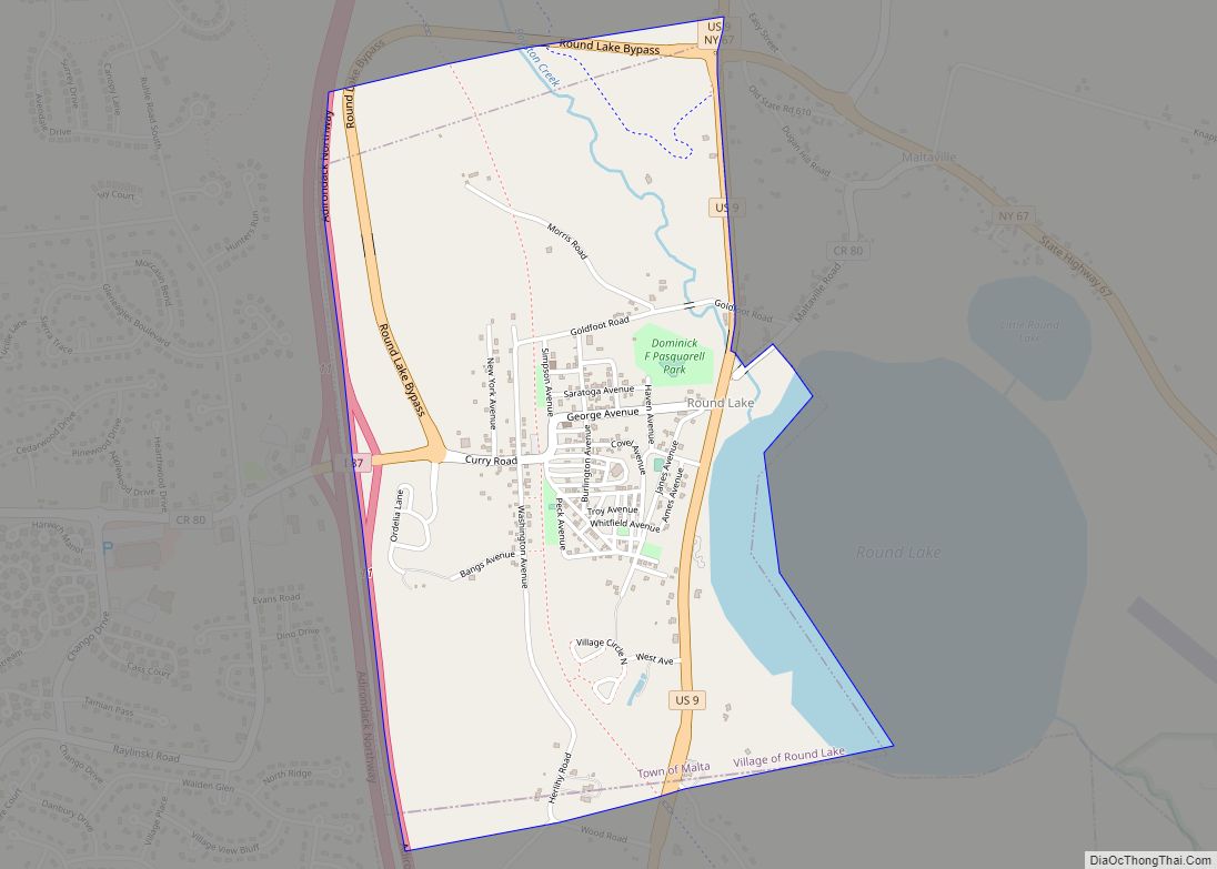
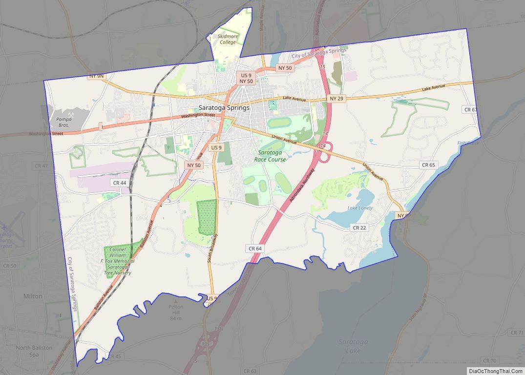
Online Interactive Map
Click on ![]() to view map in "full screen" mode.
to view map in "full screen" mode.
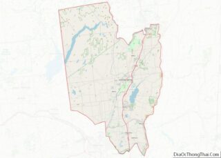
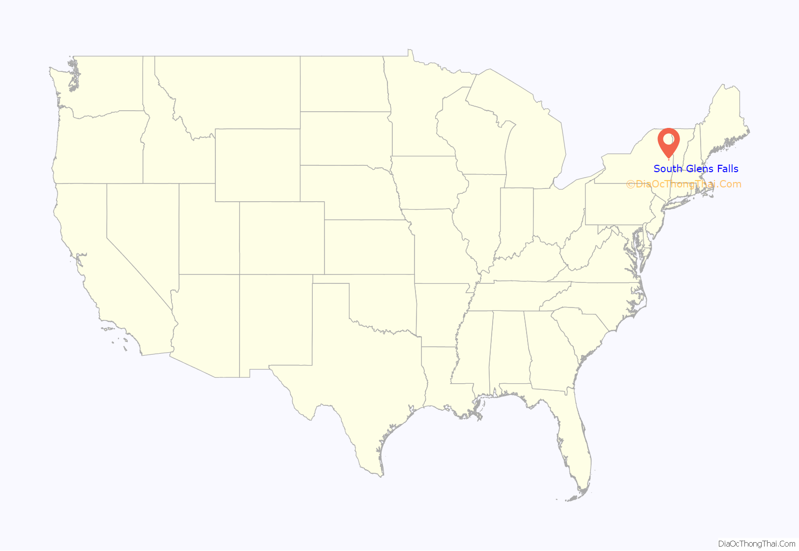
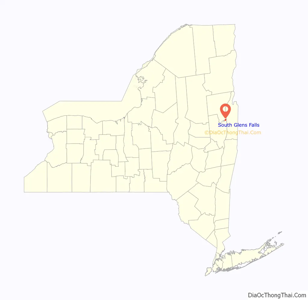
South Glens Falls location map. Where is South Glens Falls village?
History
In the late Woodland period, the area was considered to be the winter hunting grounds for the Mohawk and Algonquian tribes. Slowly, the area became attractive to settlement as good were transported through the “Great Carry” (now Route 9), between Glens Falls and Fort Edward.
In 1766, the Daniel Parks family was the first family to settle into the area after receiving 800 acres (3.2 km) of land, on which they built a house and a saw mill. By the mid-1830s, the settlement boasted saw mills, a grist mill, a cotton mill and a quarry as well as a dock to facilitate commerce.
The Village was formally incorporated in 1895 as a result of an effort to form a public water system.
The Historical Society of Moreau and South Glens Falls is housed in the Parks-Bentley House, added to the National Register of Historic Places in 1994.
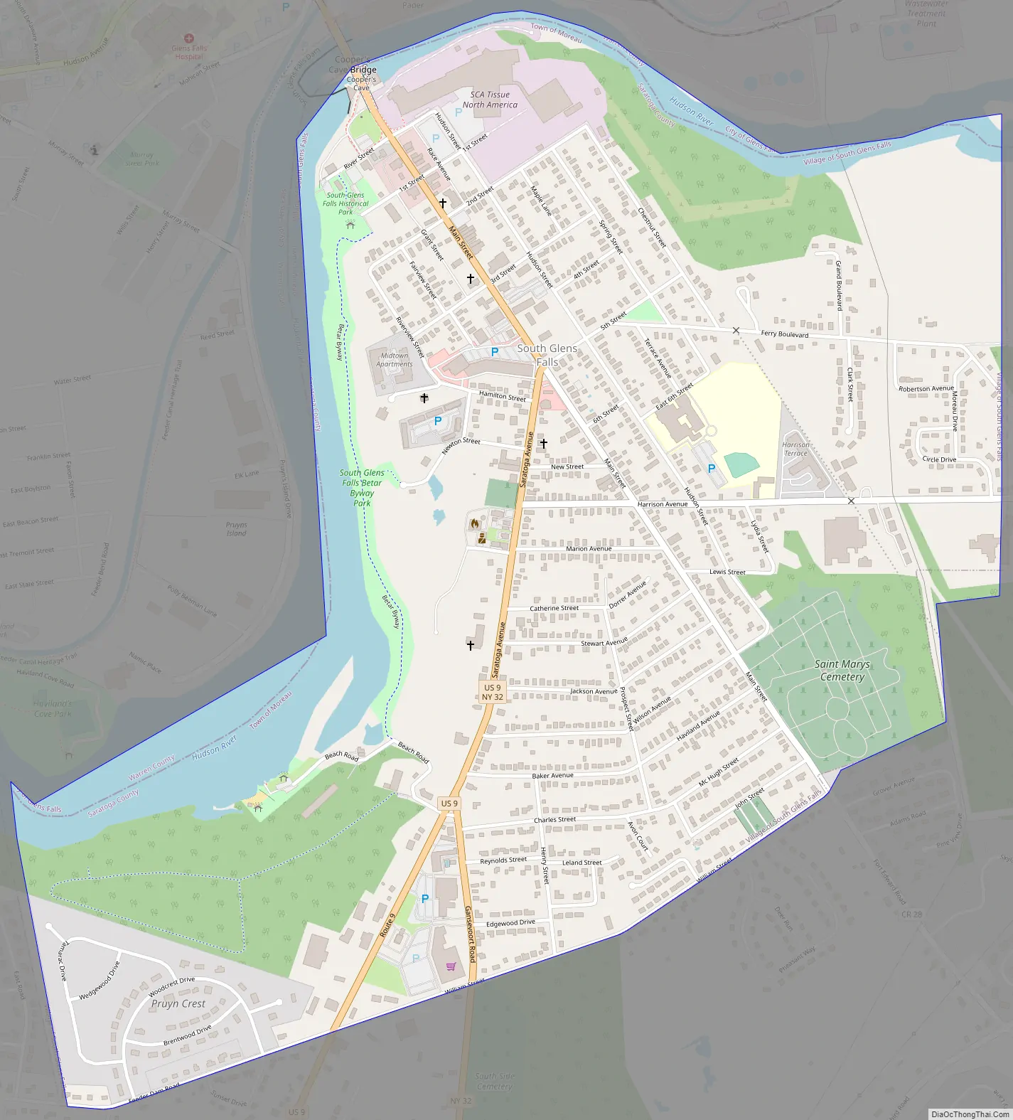
South Glens Falls Road Map
South Glens Falls city Satellite Map
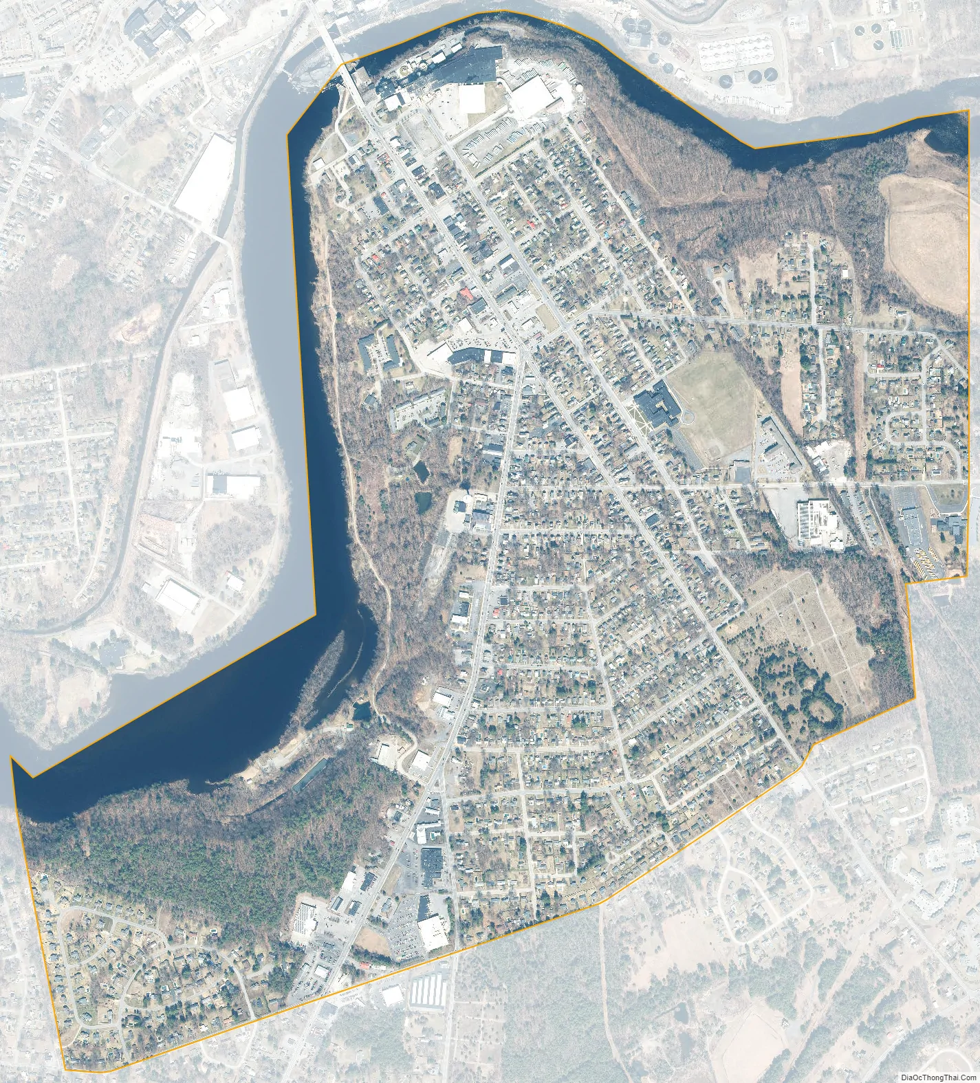
Geography
South Glens Falls is located at 43°17′47″N 73°38′3″W / 43.29639°N 73.63417°W / 43.29639; -73.63417 (43.296406, -73.634296).
According to the United States Census Bureau, the village has a total area of 1.5 square miles (3.9 km), of which 1.4 square miles (3.6 km) is land and 0.1 square miles (0.26 km) (9.40%) is water.
The village is located on the south bank of the Hudson River and is off exit 17N of Interstate 87.
U.S. Route 9, New York State Route 32 and County Road 28, all north-south highways, converge in the village.
See also
Map of New York State and its subdivision:- Albany
- Allegany
- Bronx
- Broome
- Cattaraugus
- Cayuga
- Chautauqua
- Chemung
- Chenango
- Clinton
- Columbia
- Cortland
- Delaware
- Dutchess
- Erie
- Essex
- Franklin
- Fulton
- Genesee
- Greene
- Hamilton
- Herkimer
- Jefferson
- Kings
- Lake Ontario
- Lewis
- Livingston
- Madison
- Monroe
- Montgomery
- Nassau
- New York
- Niagara
- Oneida
- Onondaga
- Ontario
- Orange
- Orleans
- Oswego
- Otsego
- Putnam
- Queens
- Rensselaer
- Richmond
- Rockland
- Saint Lawrence
- Saratoga
- Schenectady
- Schoharie
- Schuyler
- Seneca
- Steuben
- Suffolk
- Sullivan
- Tioga
- Tompkins
- Ulster
- Warren
- Washington
- Wayne
- Westchester
- Wyoming
- Yates
- Alabama
- Alaska
- Arizona
- Arkansas
- California
- Colorado
- Connecticut
- Delaware
- District of Columbia
- Florida
- Georgia
- Hawaii
- Idaho
- Illinois
- Indiana
- Iowa
- Kansas
- Kentucky
- Louisiana
- Maine
- Maryland
- Massachusetts
- Michigan
- Minnesota
- Mississippi
- Missouri
- Montana
- Nebraska
- Nevada
- New Hampshire
- New Jersey
- New Mexico
- New York
- North Carolina
- North Dakota
- Ohio
- Oklahoma
- Oregon
- Pennsylvania
- Rhode Island
- South Carolina
- South Dakota
- Tennessee
- Texas
- Utah
- Vermont
- Virginia
- Washington
- West Virginia
- Wisconsin
- Wyoming