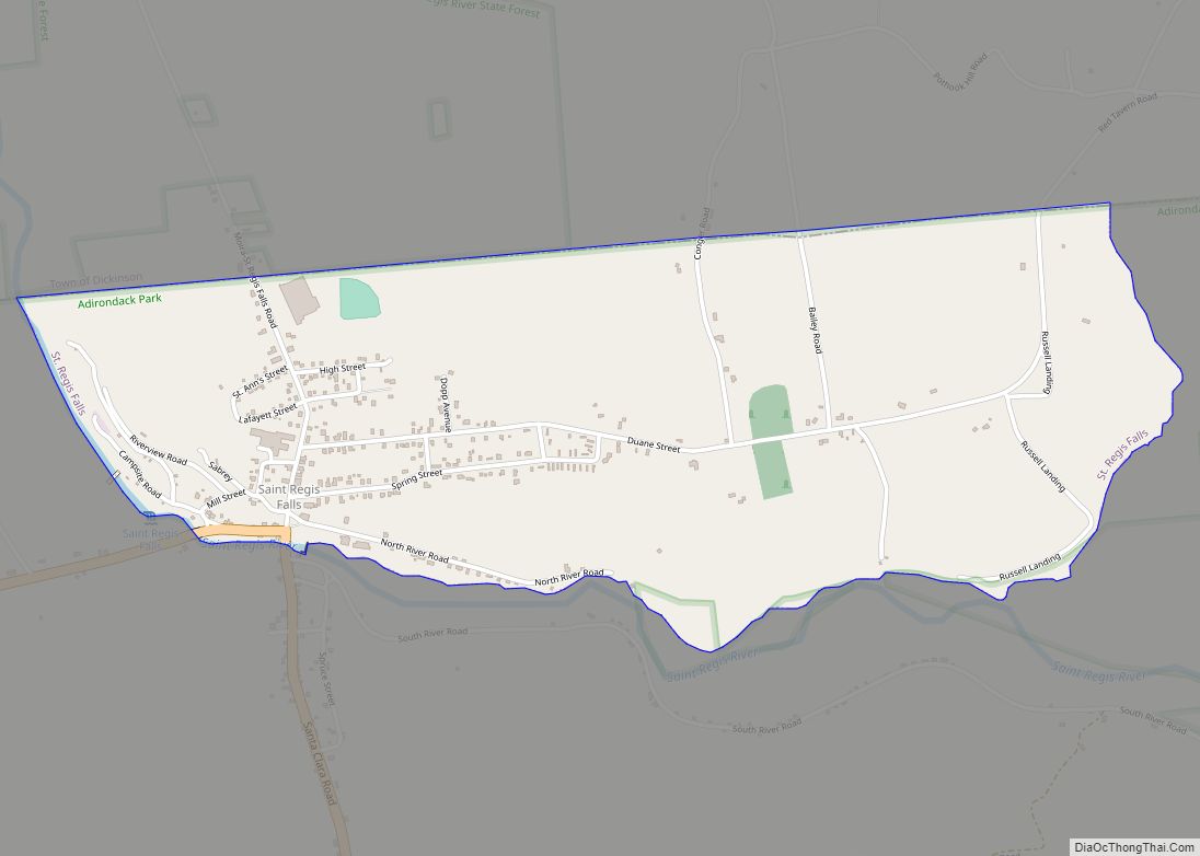
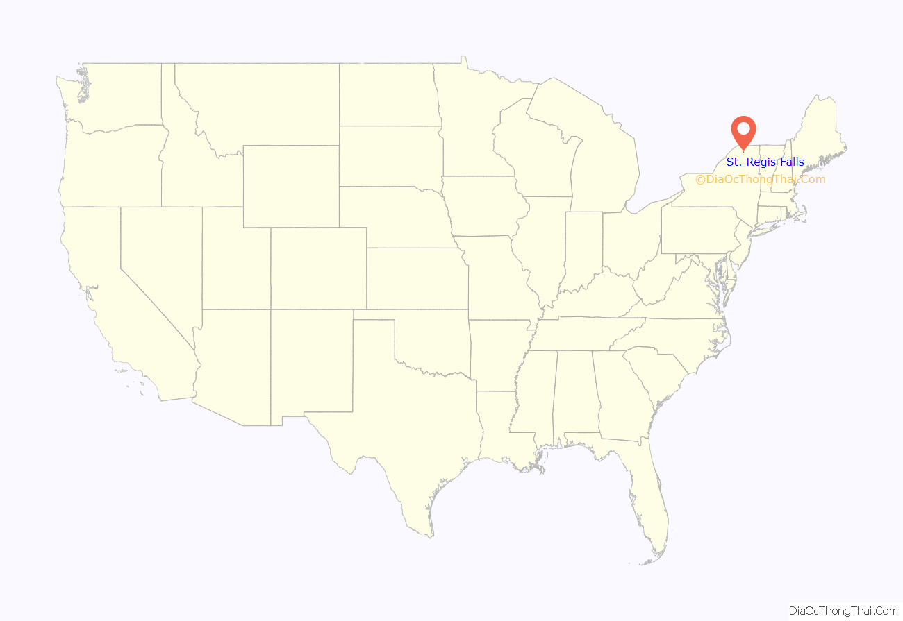
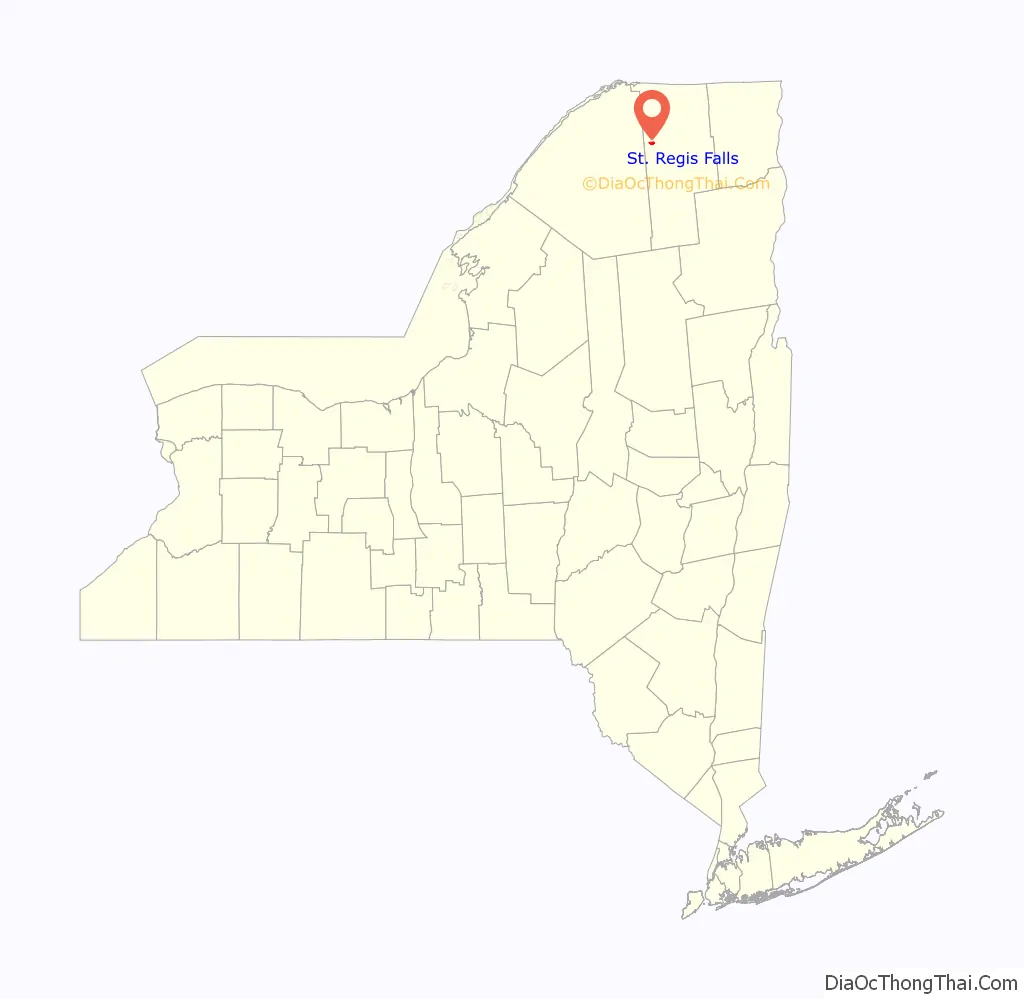
St. Regis Falls is a census-designated place (CDP) in Waverly, Franklin County, New York, United States. The population of the CDP was 464 at the 2010 census.
| Name: | St. Regis Falls CDP |
|---|---|
| LSAD Code: | 57 |
| LSAD Description: | CDP (suffix) |
| State: | New York |
| County: | Franklin County |
| Elevation: | 1,291 ft (393 m) |
| Total Area: | 1.29 sq mi (3.35 km²) |
| Land Area: | 1.29 sq mi (3.35 km²) |
| Water Area: | 0.00 sq mi (0.00 km²) |
| Total Population: | 432 |
| Population Density: | 334.37/sq mi (129.13/km²) |
| ZIP code: | 12980 |
| Area code: | 518 |
| FIPS code: | 3664716 |
| GNISfeature ID: | 2628185 |
Online Interactive Map
Click on ![]() to view map in "full screen" mode.
to view map in "full screen" mode.
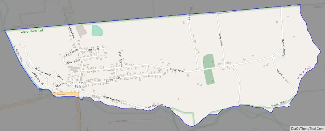
St. Regis Falls location map. Where is St. Regis Falls CDP?
St. Regis Falls Road Map
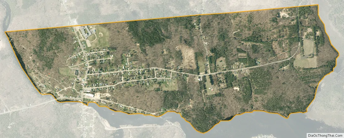
St. Regis Falls city Satellite Map
Geography
St. Regis Falls is located at the northern end of the town of Waverly, along the north side of the St. Regis River, a tributary of the St. Lawrence River. The falls for which the community is named are on the river at the western end of town. According to the United States Census Bureau, the CDP has a total area of 1.29 square miles (3.35 km), all land.
New York State Route 458 passes through the community, leading west 8 miles (13 km) to Nicholville and southeast 6.5 miles (10.5 km) to Santa Clara. Potsdam is 23 miles (37 km) to the west via Routes 458 and 11B, while Paul Smiths is 26 miles (42 km) to the southeast via Routes 458 and 30.
The northern border of the CDP follows the Waverly/Dickinson town line.
Saint Regis Falls Central School is located in the northern part of the CDP, serving the town of Waverly and surrounding towns.
The marshy area east of the village where the water meets Duane Street (Red Tavern Road) on both sides just before Trim Hill is often referred to as Alligator Alley.
See also
Map of New York State and its subdivision:- Albany
- Allegany
- Bronx
- Broome
- Cattaraugus
- Cayuga
- Chautauqua
- Chemung
- Chenango
- Clinton
- Columbia
- Cortland
- Delaware
- Dutchess
- Erie
- Essex
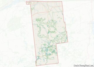
- Franklin
- Fulton
- Genesee
- Greene
- Hamilton
- Herkimer
- Jefferson
- Kings
- Lake Ontario
- Lewis
- Livingston
- Madison
- Monroe
- Montgomery
- Nassau
- New York
- Niagara
- Oneida
- Onondaga
- Ontario
- Orange
- Orleans
- Oswego
- Otsego
- Putnam
- Queens
- Rensselaer
- Richmond
- Rockland
- Saint Lawrence
- Saratoga
- Schenectady
- Schoharie
- Schuyler
- Seneca
- Steuben
- Suffolk
- Sullivan
- Tioga
- Tompkins
- Ulster
- Warren
- Washington
- Wayne
- Westchester
- Wyoming
- Yates
- Alabama
- Alaska
- Arizona
- Arkansas
- California
- Colorado
- Connecticut
- Delaware
- District of Columbia
- Florida
- Georgia
- Hawaii
- Idaho
- Illinois
- Indiana
- Iowa
- Kansas
- Kentucky
- Louisiana
- Maine
- Maryland
- Massachusetts
- Michigan
- Minnesota
- Mississippi
- Missouri
- Montana
- Nebraska
- Nevada
- New Hampshire
- New Jersey
- New Mexico
- New York
- North Carolina
- North Dakota
- Ohio
- Oklahoma
- Oregon
- Pennsylvania
- Rhode Island
- South Carolina
- South Dakota
- Tennessee
- Texas
- Utah
- Vermont
- Virginia
- Washington
- West Virginia
- Wisconsin
- Wyoming