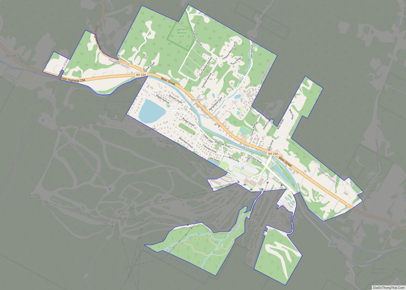
Tannersville is a village in Greene County, New York, United States. The village is in the north-central part of the town of Hunter on Route 23A. The population was 539 at the 2010 census, up from 448 in 2000.
| Name: | Tannersville village |
|---|---|
| LSAD Code: | 47 |
| LSAD Description: | village (suffix) |
| State: | New York |
| County: | Greene County |
| Elevation: | 1,900 ft (579 m) |
| Total Area: | 1.15 sq mi (2.98 km²) |
| Land Area: | 1.12 sq mi (2.90 km²) |
| Water Area: | 0.03 sq mi (0.08 km²) |
| Total Population: | 568 |
| Population Density: | 508.05/sq mi (196.10/km²) |
| ZIP code: | 12424, 12485 |
| Area code: | 518 |
| FIPS code: | 3673143 |
| GNISfeature ID: | 0967045 |
| Website: | www.tannersvilleny.org |
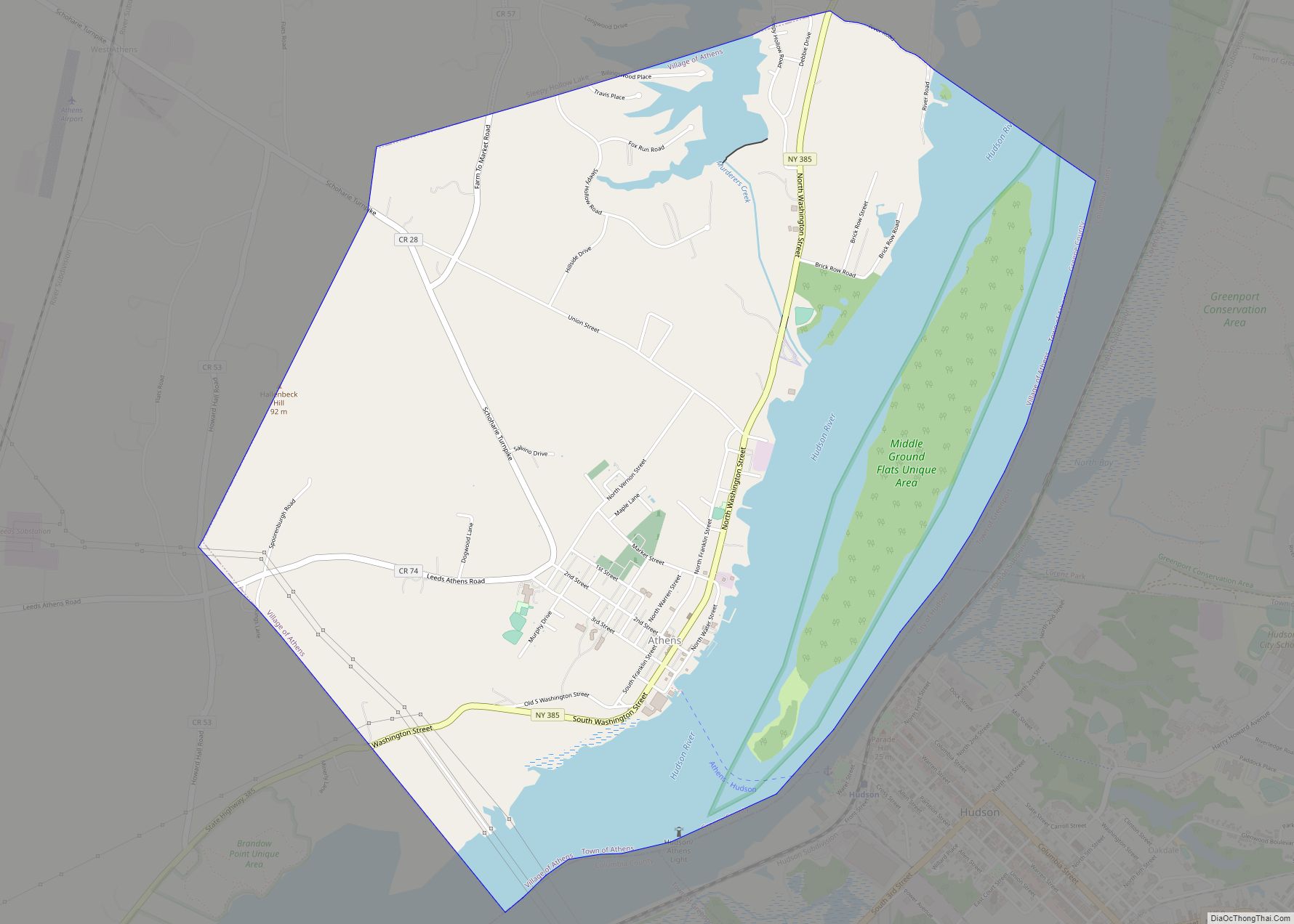
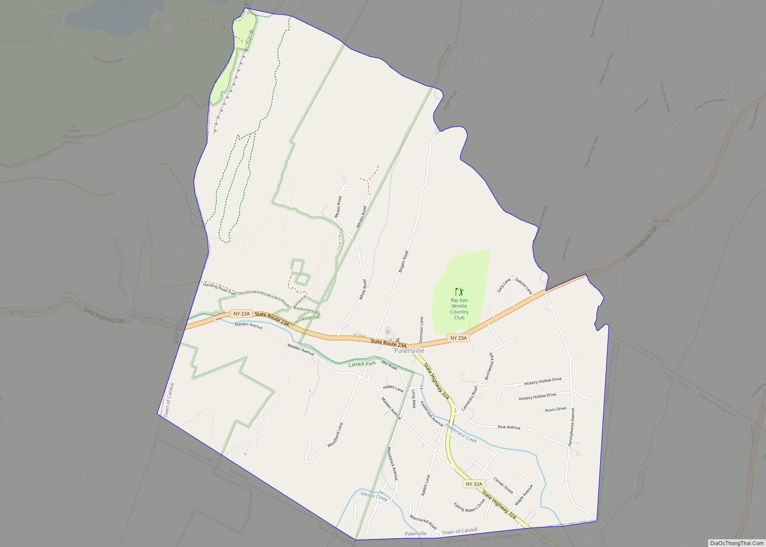
Online Interactive Map
Click on ![]() to view map in "full screen" mode.
to view map in "full screen" mode.
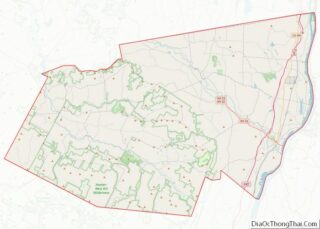
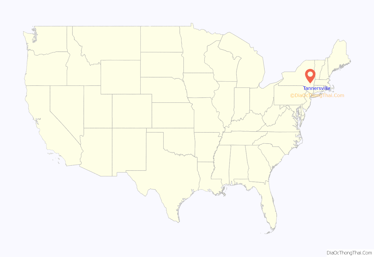
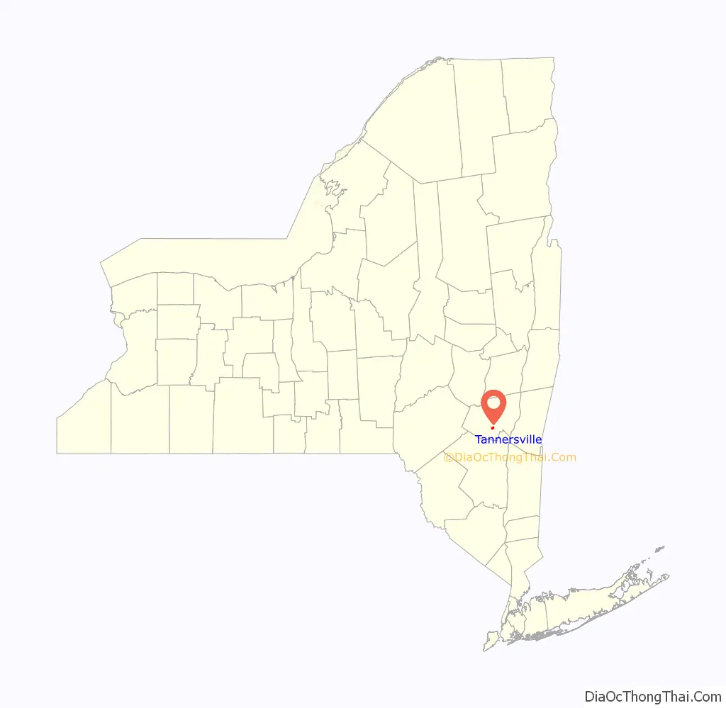
Tannersville location map. Where is Tannersville village?
History
The village was founded around lumber mills and tanneries. It was incorporated in 1895.
Tannersville’s tanning business collapsed in the mid-19th century. It was gradually replaced by the summer resort trade, which reached its peak in 1882 when the railroad came to Tannersville. However, the rise of the automobile in the early 20th century led to a steady economic decline, as travelers were no longer rooted to one spot for an entire summer.
Due to its close proximity to Hunter Mountain ski area, it serves as the local commercial district, with inns, restaurants, and shopping.
Tannersville has experienced a revival in the 21st century. The Hunter Foundation has implemented the town-wide “Paint Program” — the vision of Elena Patterson, a local artist — with the help and support of Glenn Weyant who was the mayor at the time, corporate sponsors, and local residents. The Paint Project involves painting downtown buildings in multicolored pastels, often with cartoon-like pictures on the shutters. It has attracted waves of tourists who come to see the dramatic paint schemes. The project prompted much attention when it was publicized in The New York Times in 2003. The project was also featured on NBC’s Today show, on CNBC, and on all three of the local Albany-based television networks. The village also received some attention for serving as the center of activities for the Catskill Jazz Factory artist development program.
Tannersville is experiencing an influx of tourists from both the New York and other areas, who are attracted to its abundant hiking trails, waterfalls, and old-time charm.
The Tannersville Main Street Historic District was listed on the National Register of Historic Places (NRHP) in 2008. Other NRHP listed buildings are All Souls Church and Hathaway.
In November 2021, Tannersville was named the second Capital Region winner of the 5th round of the New York State Downtown Revitalization Initiative. The $10 million grant would enable the town to focus on economic development and improvements to enrichment. “With the impact COVID-19 has had on small businesses and communities, it is crucial that the state invest in their revitalization so we can come back better than before,” Governor Kathy Hochul said. “This funding will help take Tannersville, a village rich with history, to the next level so that it may grow and flourish as an example of the best of what Upstate New York has to offer.”
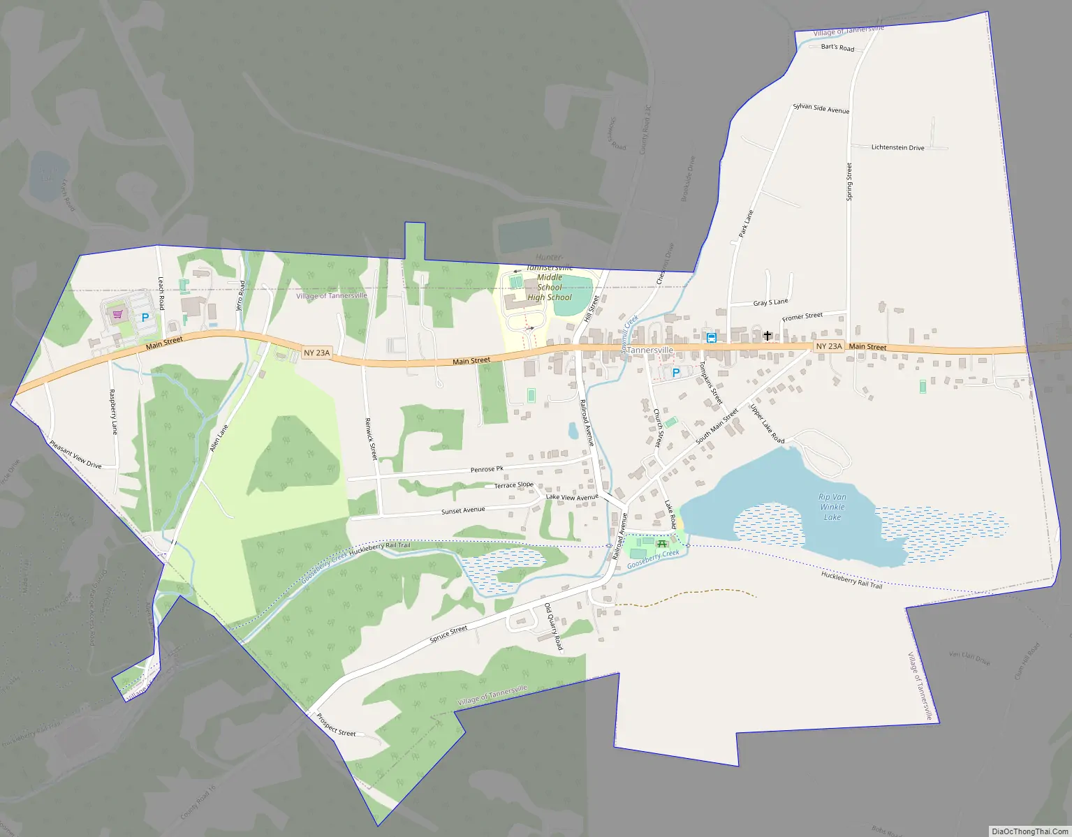
Tannersville Road Map
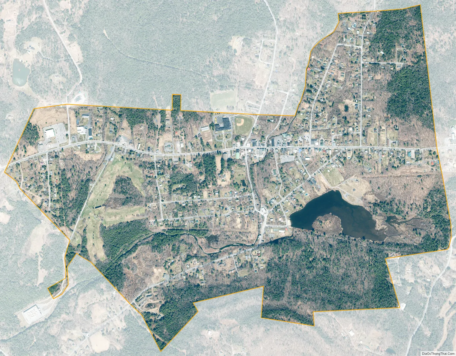
Tannersville city Satellite Map
Geography
Tannersville is located in southern Greene County at 42°11′37″N 74°8′20″W / 42.19361°N 74.13889°W / 42.19361; -74.13889 (42.193619, -74.139011), in the northern part of the town of Hunter. It is situated at an elevation of 1,900 feet (580 m) in the Catskill Mountains just west of the height of land on New York State Route 23A: Sawmill Creek flows southwest through the center of the village into Gooseberry Creek and thence into Schoharie Creek, a north-flowing tributary of the Mohawk River, while just 2 miles (3 km) to the east, at Haines Falls, Kaaterskill Creek drops east into Kaaterskill Clove and thence into the Hudson River valley.
NY 23A is Tannersville’s Main Street, leading east 16 miles (26 km) to Catskill and west 4 miles (6 km) to Hunter village.
According to the United States Census Bureau, Tannersville has a total area of 1.2 square miles (3.1 km), of which 1.2 square miles (3.0 km) is land and 0.04 square miles (0.1 km), or 2.73%, is water.
See also
Map of New York State and its subdivision:- Albany
- Allegany
- Bronx
- Broome
- Cattaraugus
- Cayuga
- Chautauqua
- Chemung
- Chenango
- Clinton
- Columbia
- Cortland
- Delaware
- Dutchess
- Erie
- Essex
- Franklin
- Fulton
- Genesee
- Greene
- Hamilton
- Herkimer
- Jefferson
- Kings
- Lake Ontario
- Lewis
- Livingston
- Madison
- Monroe
- Montgomery
- Nassau
- New York
- Niagara
- Oneida
- Onondaga
- Ontario
- Orange
- Orleans
- Oswego
- Otsego
- Putnam
- Queens
- Rensselaer
- Richmond
- Rockland
- Saint Lawrence
- Saratoga
- Schenectady
- Schoharie
- Schuyler
- Seneca
- Steuben
- Suffolk
- Sullivan
- Tioga
- Tompkins
- Ulster
- Warren
- Washington
- Wayne
- Westchester
- Wyoming
- Yates
- Alabama
- Alaska
- Arizona
- Arkansas
- California
- Colorado
- Connecticut
- Delaware
- District of Columbia
- Florida
- Georgia
- Hawaii
- Idaho
- Illinois
- Indiana
- Iowa
- Kansas
- Kentucky
- Louisiana
- Maine
- Maryland
- Massachusetts
- Michigan
- Minnesota
- Mississippi
- Missouri
- Montana
- Nebraska
- Nevada
- New Hampshire
- New Jersey
- New Mexico
- New York
- North Carolina
- North Dakota
- Ohio
- Oklahoma
- Oregon
- Pennsylvania
- Rhode Island
- South Carolina
- South Dakota
- Tennessee
- Texas
- Utah
- Vermont
- Virginia
- Washington
- West Virginia
- Wisconsin
- Wyoming