Union Springs is a village in Cayuga County, New York, United States. The population was 1,197 at the 2010 census. The name is derived from the mineral springs near the village. Union Springs is in the western part of the town of Springport and is southwest of Auburn.
| Name: | Union Springs village |
|---|---|
| LSAD Code: | 47 |
| LSAD Description: | village (suffix) |
| State: | New York |
| County: | Cayuga County |
| Elevation: | 410 ft (125 m) |
| Total Area: | 1.76 sq mi (4.57 km²) |
| Land Area: | 1.75 sq mi (4.53 km²) |
| Water Area: | 0.01 sq mi (0.04 km²) |
| Total Population: | 1,075 |
| Population Density: | 614.99/sq mi (237.42/km²) |
| ZIP code: | 13160 |
| Area code: | 315 |
| FIPS code: | 3676155 |
| GNISfeature ID: | 0968217 |
| Website: | unionspringsny.com |
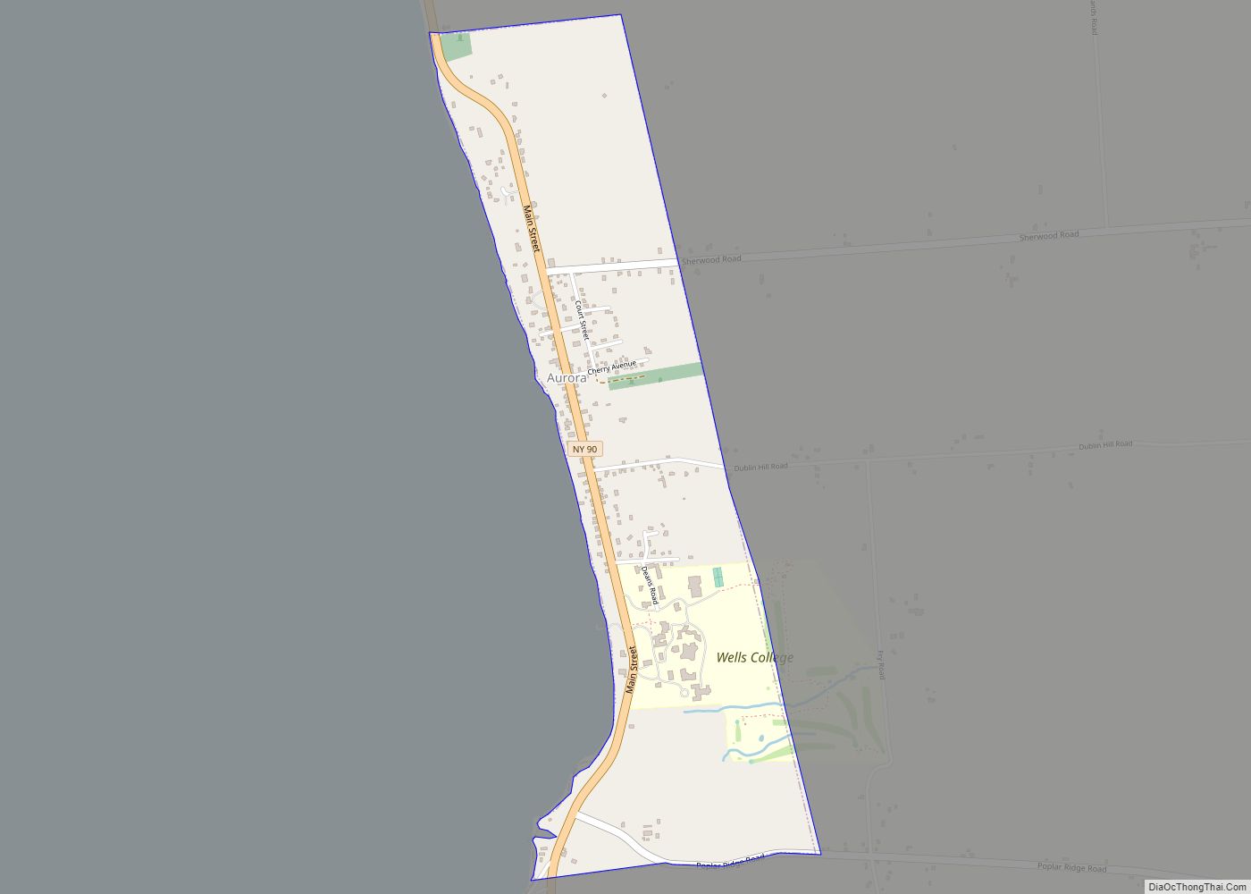
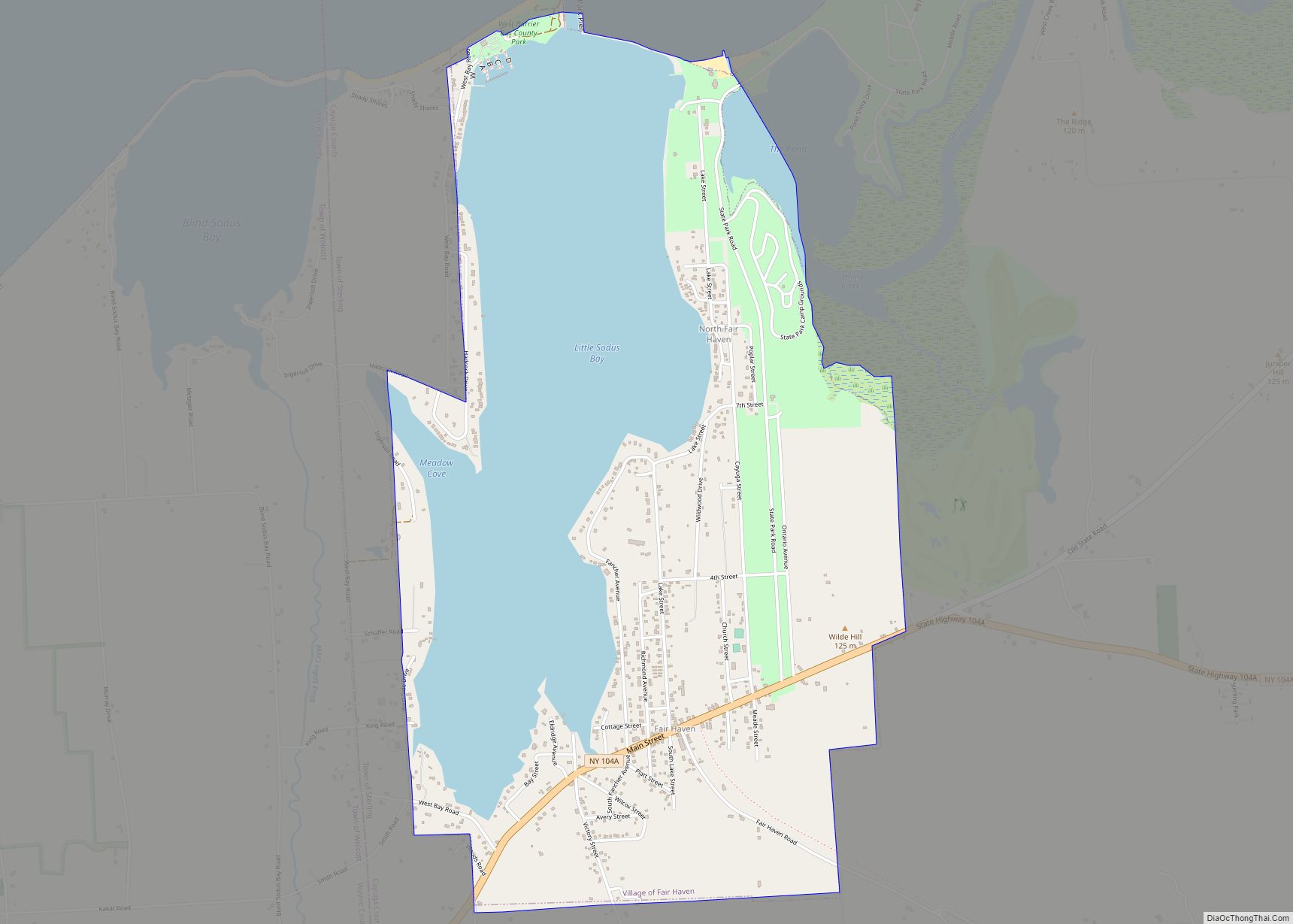
Online Interactive Map
Click on ![]() to view map in "full screen" mode.
to view map in "full screen" mode.
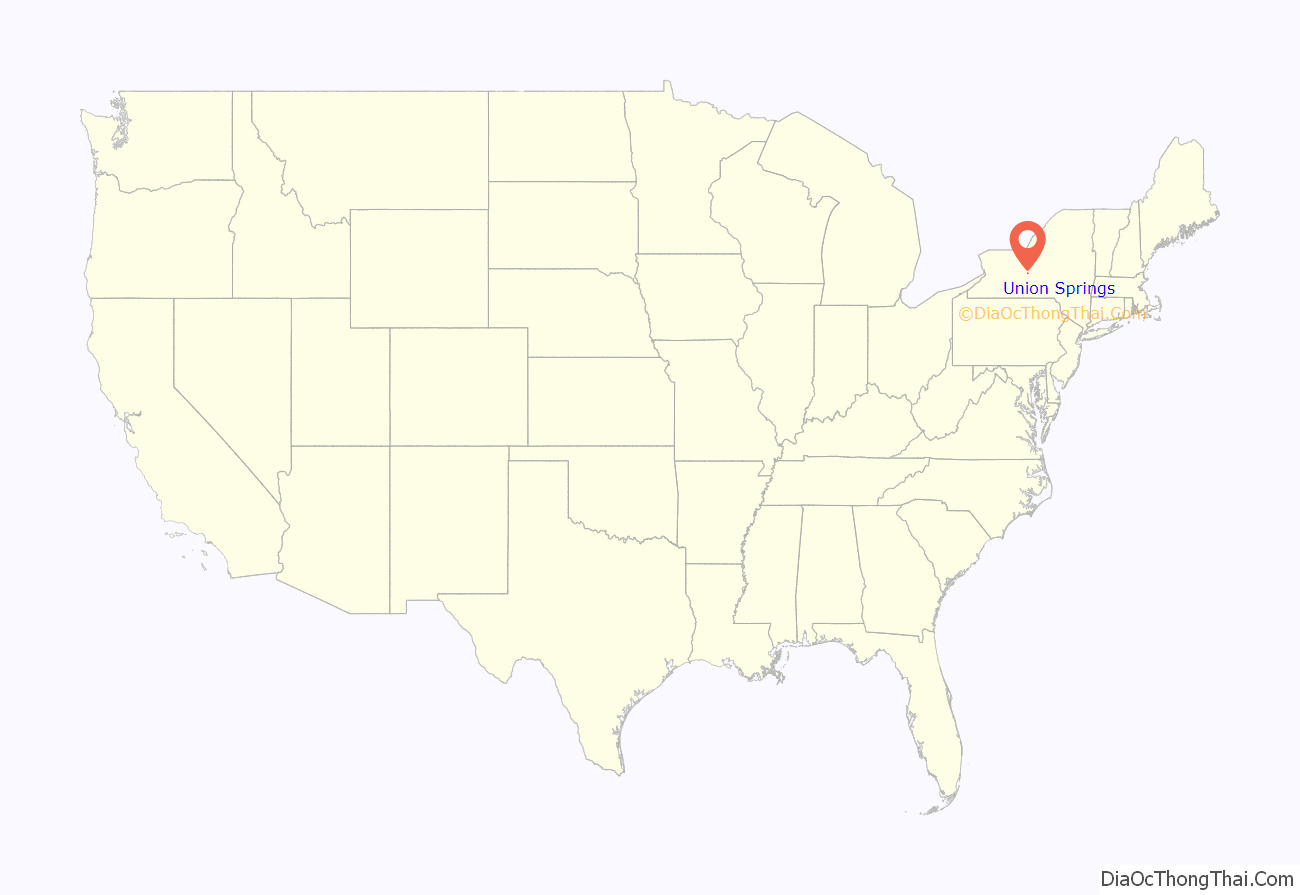
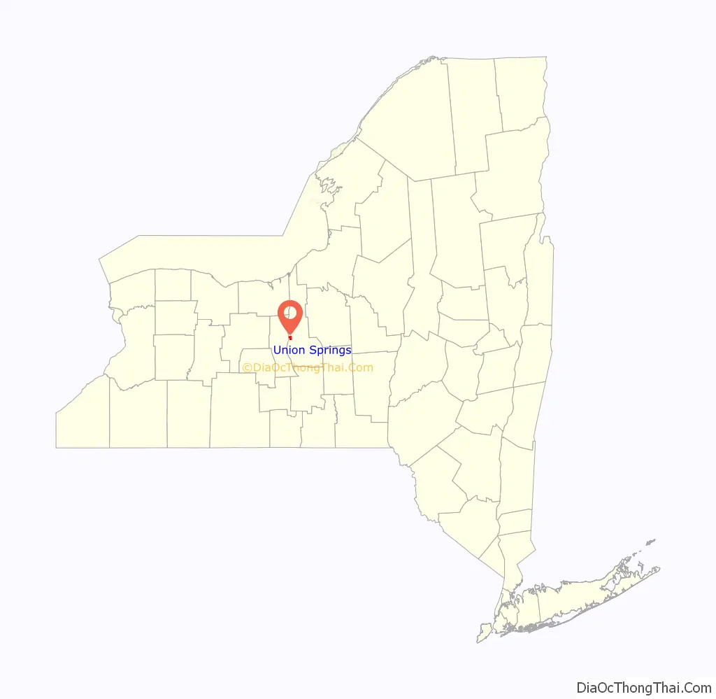
Union Springs location map. Where is Union Springs village?
History
The village is south of the current village of Cayuga and north of the former Cayuga Nation village of Gwau-gwah (Cayuga Castle), which became a Jesuit mission. The native village was a target of the Sullivan Expedition of 1779. After the war, a reservation was established for the Cayuga who returned, but they gave up their land rights before 1800. The village was incorporated in 1848.
Mineral springs near the village made the village an important health spa.
In 2023 the mayor of Union Springs was Bud Shattuck. His term expired in March 2023. Robert Thurston Jr. ran unopposed for a two-year term, and was elected in March that year.
Union Springs is the location of Union Springs Academy – a Seventh-day Adventist boarding school.
The Peter Yawger House was listed on the National Register of Historic Places in 2004. The Almeron Durkee House, Charles Howland-William H. Chase House, and William Richardson House were listed in 2005.
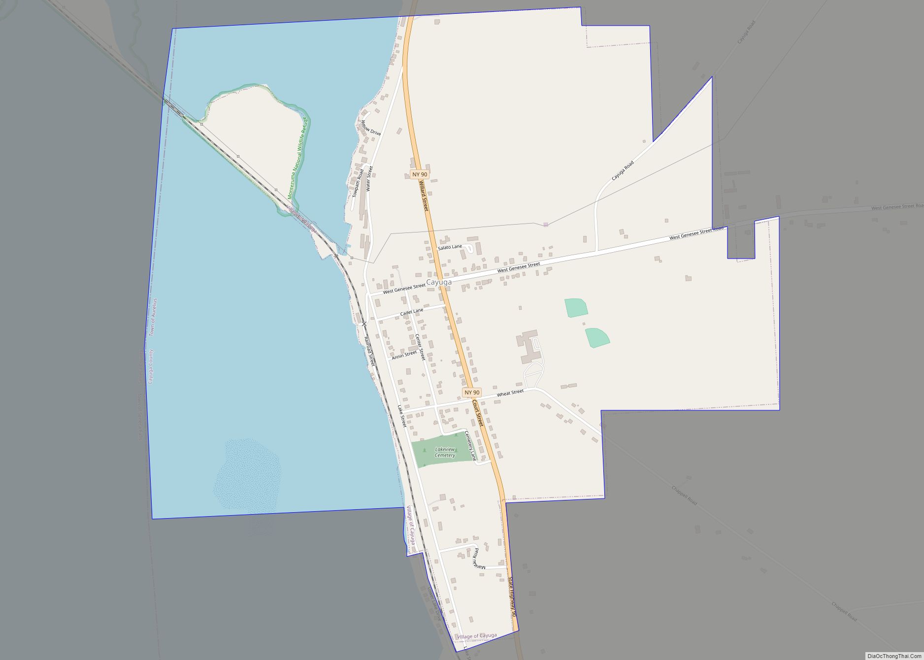
Union Springs Road Map
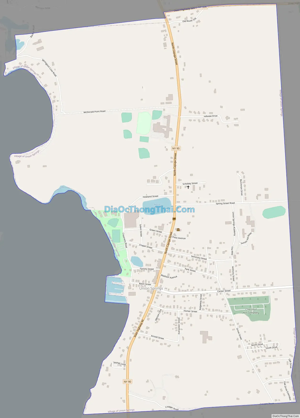
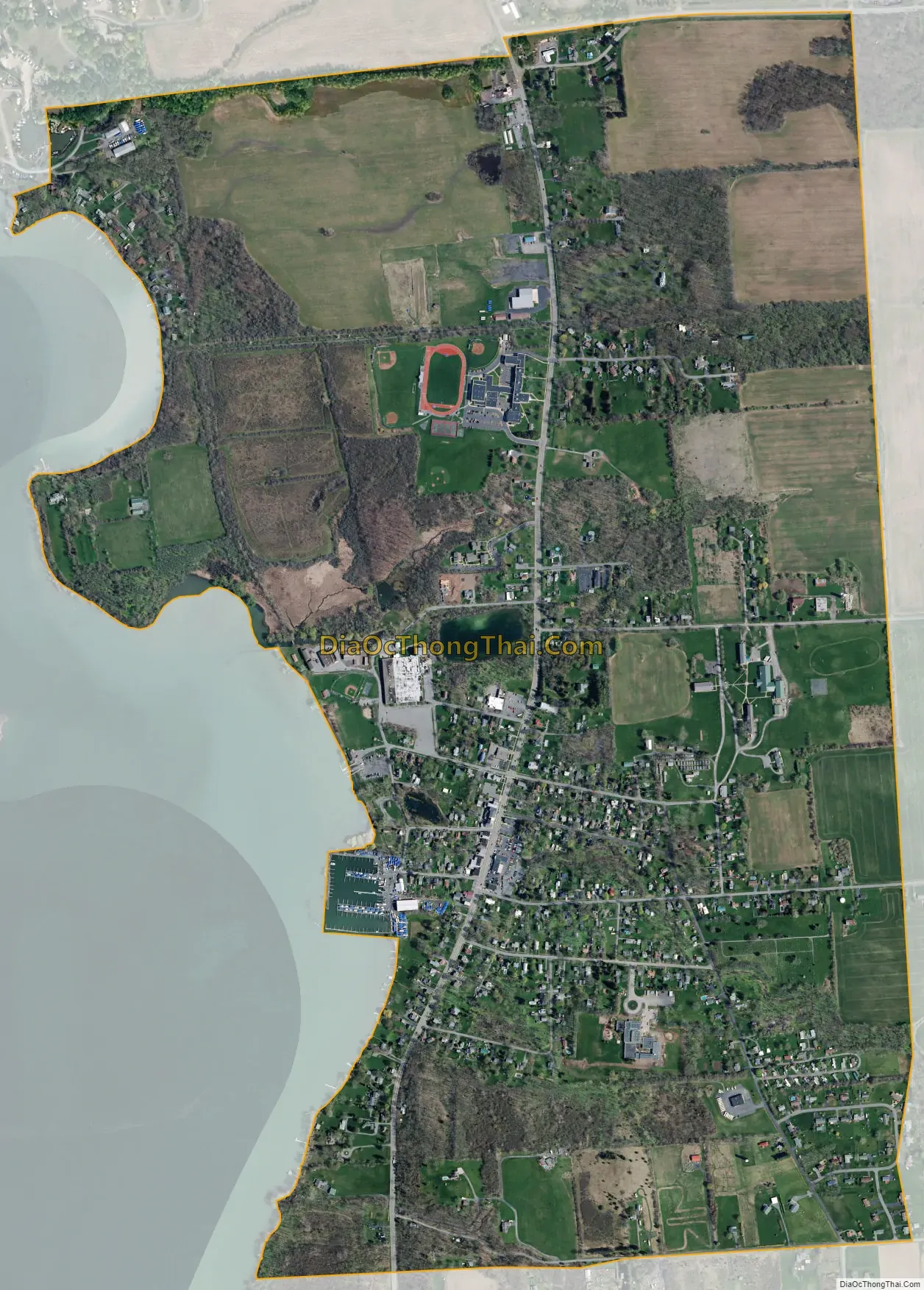
Union Springs city Satellite Map
Geography
Union Springs is located at 42°50′35″N 76°41′35″W / 42.84306°N 76.69306°W / 42.84306; -76.69306 (42.843046, -76.692996).
According to the United States Census Bureau, the village has a total area of 1.8 square miles (4.7 km), of which 1.8 square miles (4.7 km) is land and 0.55% is water.
The village is located on the east shore of Cayuga Lake on New York State Route 90. New York State Route 326 intersects NY-90 north of the village.
Frontenac Island, ceremonially important to the Cayuga, is located near the village in Cayuga Lake. This is the only naturally occurring island in the Finger Lakes. In 1859, nearly one third of the island was removed for use as an embankment for the nearby New York Central Railroad along the east shore of the lake without regard for artifacts. In the mid-20th Century, the island was scientifically excavated for study and display by the Rochester Museum of Arts and Sciences.
See also
Map of New York State and its subdivision:- Albany
- Allegany
- Bronx
- Broome
- Cattaraugus
- Cayuga
- Chautauqua
- Chemung
- Chenango
- Clinton
- Columbia
- Cortland
- Delaware
- Dutchess
- Erie
- Essex
- Franklin
- Fulton
- Genesee
- Greene
- Hamilton
- Herkimer
- Jefferson
- Kings
- Lake Ontario
- Lewis
- Livingston
- Madison
- Monroe
- Montgomery
- Nassau
- New York
- Niagara
- Oneida
- Onondaga
- Ontario
- Orange
- Orleans
- Oswego
- Otsego
- Putnam
- Queens
- Rensselaer
- Richmond
- Rockland
- Saint Lawrence
- Saratoga
- Schenectady
- Schoharie
- Schuyler
- Seneca
- Steuben
- Suffolk
- Sullivan
- Tioga
- Tompkins
- Ulster
- Warren
- Washington
- Wayne
- Westchester
- Wyoming
- Yates
- Alabama
- Alaska
- Arizona
- Arkansas
- California
- Colorado
- Connecticut
- Delaware
- District of Columbia
- Florida
- Georgia
- Hawaii
- Idaho
- Illinois
- Indiana
- Iowa
- Kansas
- Kentucky
- Louisiana
- Maine
- Maryland
- Massachusetts
- Michigan
- Minnesota
- Mississippi
- Missouri
- Montana
- Nebraska
- Nevada
- New Hampshire
- New Jersey
- New Mexico
- New York
- North Carolina
- North Dakota
- Ohio
- Oklahoma
- Oregon
- Pennsylvania
- Rhode Island
- South Carolina
- South Dakota
- Tennessee
- Texas
- Utah
- Vermont
- Virginia
- Washington
- West Virginia
- Wisconsin
- Wyoming