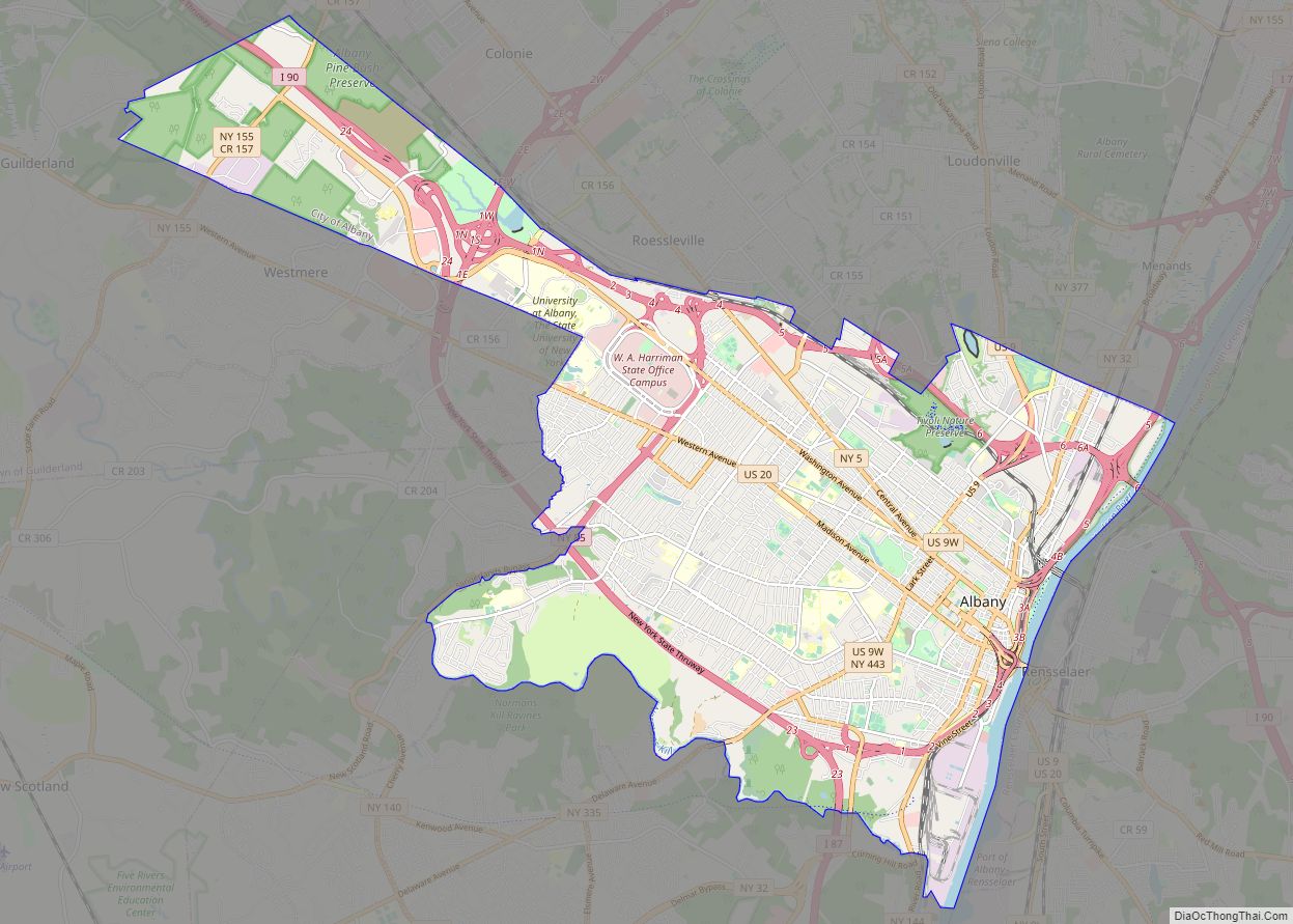
Voorheesville /ˈvɔːriːzˌvɪl/ is a village within the town of New Scotland in Albany County, New York, United States. It is a suburb of Albany and part of the city’s historic metropolitan area. The population was 2,789 at the 2010 census. The village is named after a railroad attorney, Alonzo B. Voorhees.
The village is situated by the northern town line of New Scotland.
| Name: | Voorheesville village |
|---|---|
| LSAD Code: | 47 |
| LSAD Description: | village (suffix) |
| State: | New York |
| County: | Albany County |
| Elevation: | 338 ft (103 m) |
| Total Area: | 2.14 sq mi (5.55 km²) |
| Land Area: | 2.14 sq mi (5.54 km²) |
| Water Area: | 0.01 sq mi (0.01 km²) |
| Total Population: | 2,841 |
| Population Density: | 1,328.19/sq mi (512.87/km²) |
| ZIP code: | 12186 |
| Area code: | 518 |
| FIPS code: | 3677684 |
| GNISfeature ID: | 0968604 |
| Website: | www.villageofvoorheesville.com |
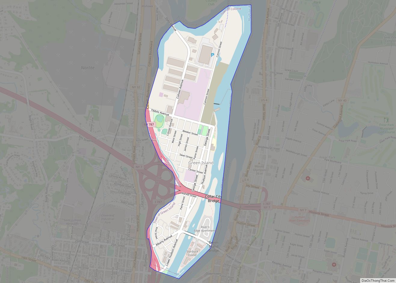
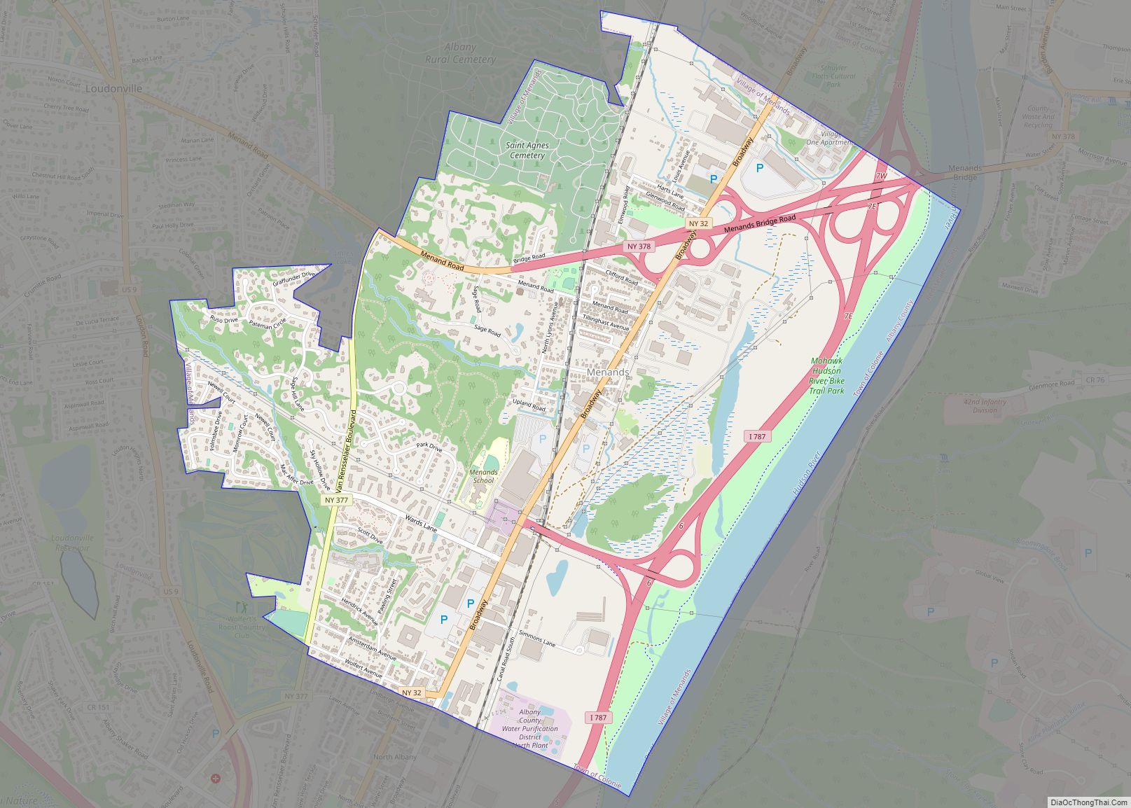
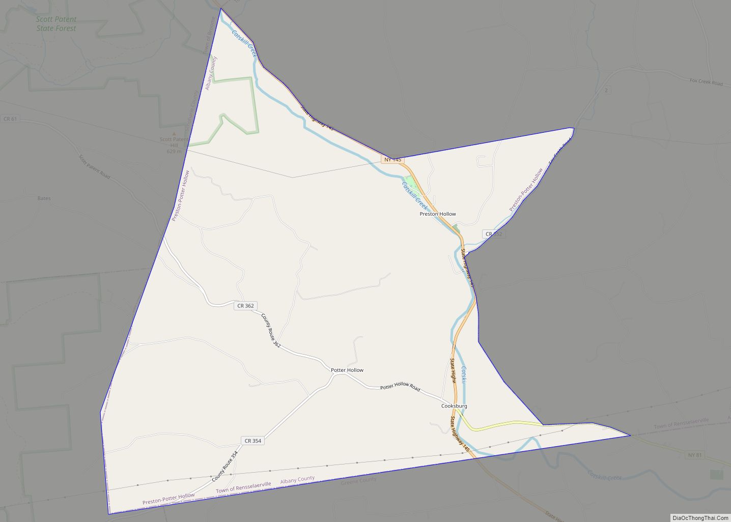
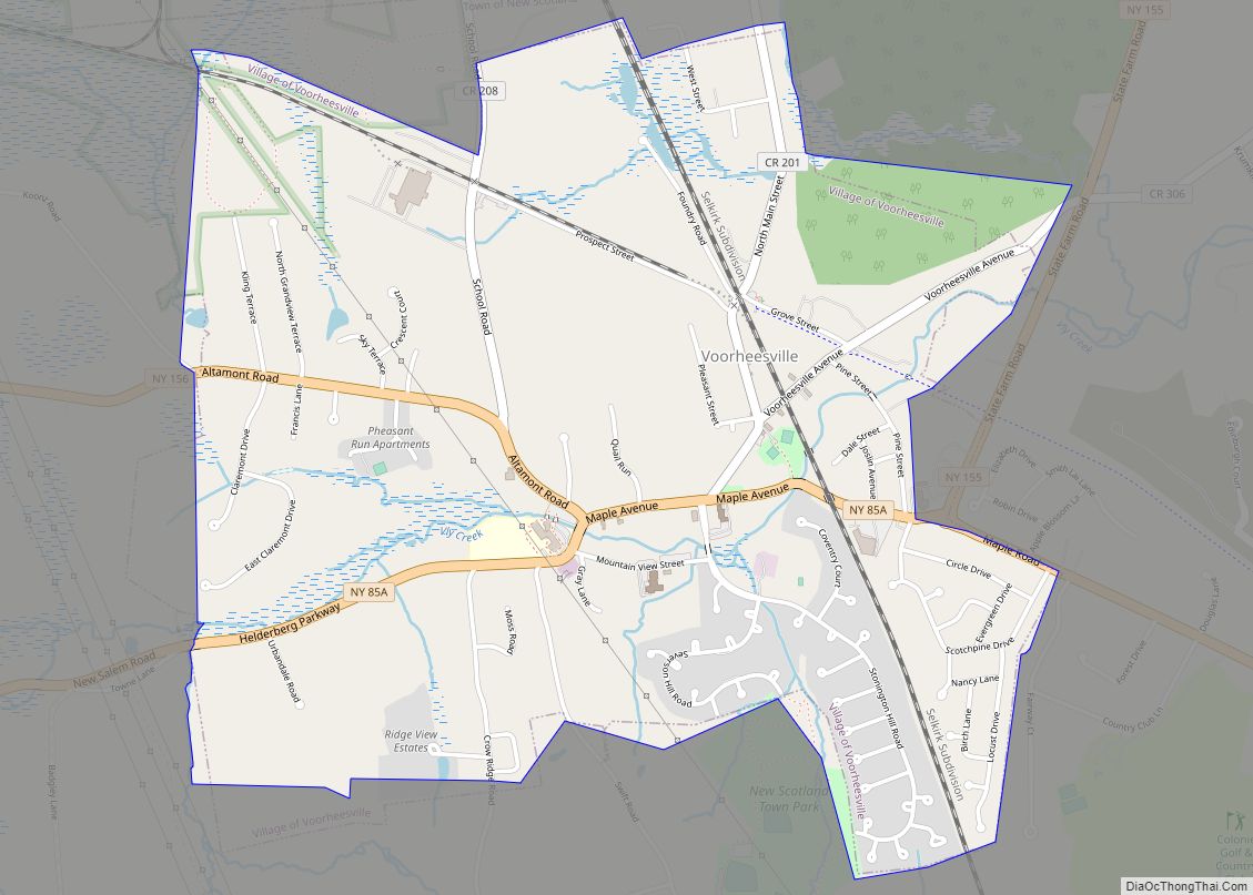
Online Interactive Map
Click on ![]() to view map in "full screen" mode.
to view map in "full screen" mode.
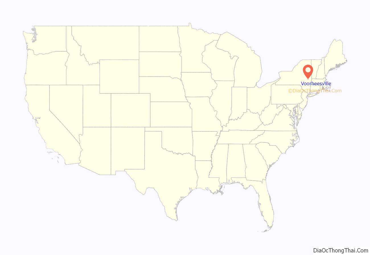
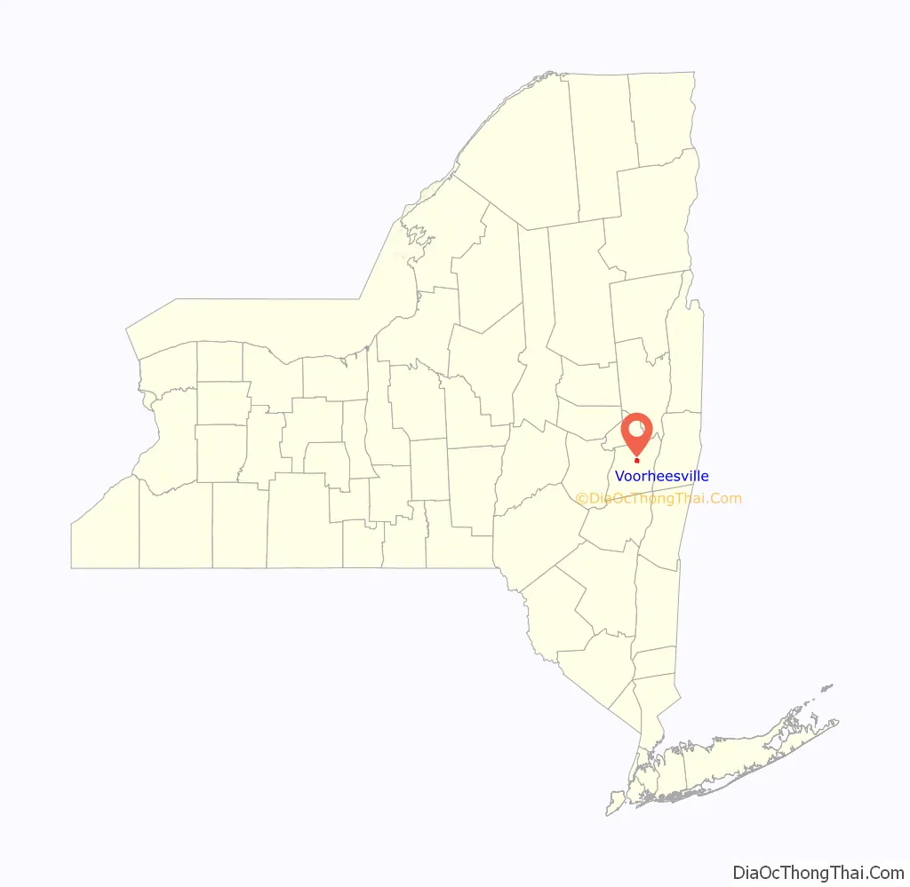
Voorheesville location map. Where is Voorheesville village?
History
The area was settled by farmers sent by the Rensselaer family. In the 19th century, their descendants rebelled against the patroon system, fomenting a Rent War.
In 1864, two railroads were built through the town of New Scotland, headed west from the Hudson River, both trying to find a way around the Helderberg Mountains. The Albany and Susquehanna Railroad and the New York, West Shore and Buffalo Railroads crossed one another in a farm field. Subsequently, a village grew up around the crossroad and in 1899 the village of Voorheesville, named for the aforementioned railroad attorney, was incorporated. In 1870, the A&S was leased to the Delaware and Hudson Canal Company. These railroads crossed at South and North Main, and for a significant period of time there was a passenger train that came through Voorheesville. Voorheesville for several years in its early days (it was originally referred to as Union Depot before being named after Alonzo B. Voorhees) was something of a tourist attraction. The village boasted a hotel, the Friars Grove Hotel, located right across Grove Street from the train station. Just next to the hotel was a brick oven bakery, and further up Grove was a cider mill. The mill was bought out by Duffy Mott and Mott’s Cider before eventually closing. The village also claimed the renowned Harris House, a tavern and hotel for the “weary traveler”, a foundry that closed after a fire whose remnants still stand today, and Vly Creek (which runs through the entire village before connecting to the Normanskill Creek in Guilderland) was dammed up near the present day elementary school as a swimming hole. Historically until 2003/2004, the village railroad crossing was unique only like one other location in the United States in that four different sets of railroad tracks ran through the village and crossed at one point. The double tracked CSX (former NYC, PC, Conrail) line is still frequently used, while the remains of the D&H line west of the village is leased to SMS Rail lines, which services the Northeast Industrial Park under contract with Canadian Pacific. The West Shore line remained unused. In 2003 and 2004 the D&H line east of the village was torn up, leaving the village crossing a part of history.
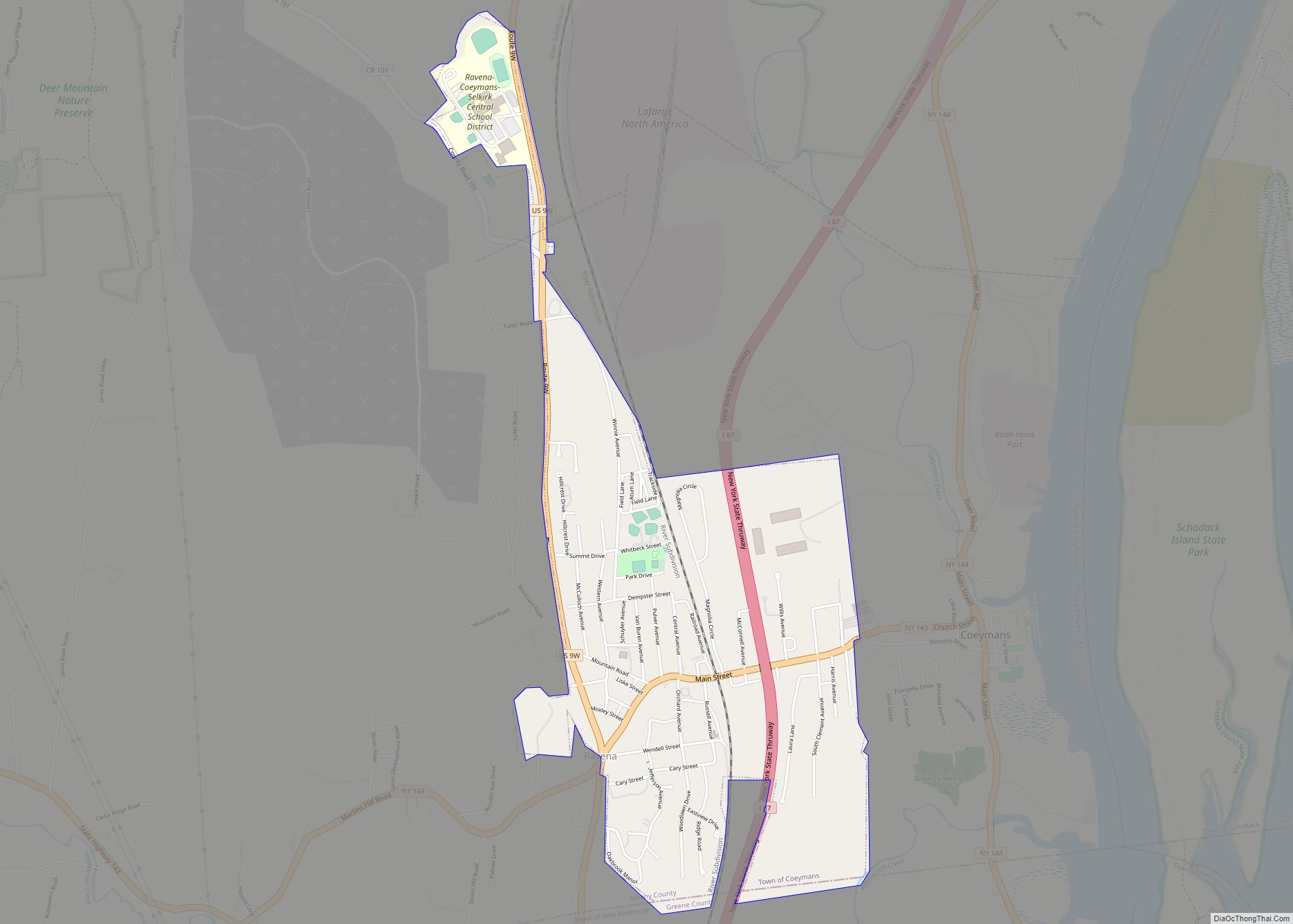
Voorheesville Road Map
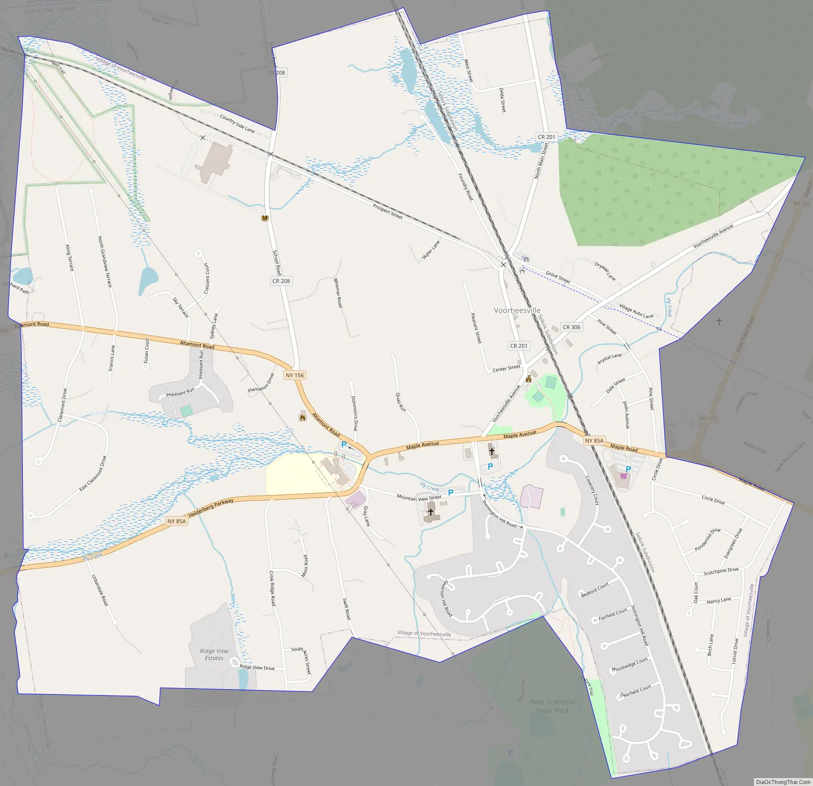
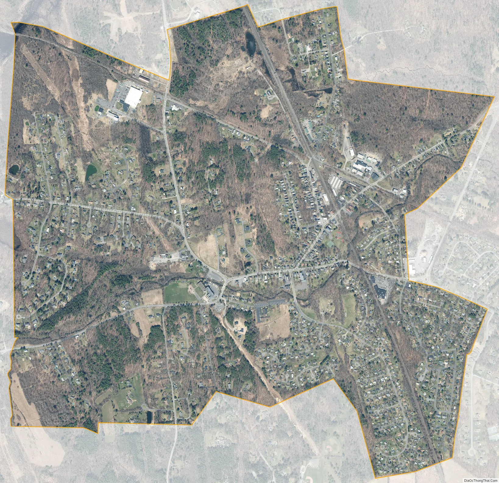
Voorheesville city Satellite Map
See also
Map of New York State and its subdivision:- Albany
- Allegany
- Bronx
- Broome
- Cattaraugus
- Cayuga
- Chautauqua
- Chemung
- Chenango
- Clinton
- Columbia
- Cortland
- Delaware
- Dutchess
- Erie
- Essex
- Franklin
- Fulton
- Genesee
- Greene
- Hamilton
- Herkimer
- Jefferson
- Kings
- Lake Ontario
- Lewis
- Livingston
- Madison
- Monroe
- Montgomery
- Nassau
- New York
- Niagara
- Oneida
- Onondaga
- Ontario
- Orange
- Orleans
- Oswego
- Otsego
- Putnam
- Queens
- Rensselaer
- Richmond
- Rockland
- Saint Lawrence
- Saratoga
- Schenectady
- Schoharie
- Schuyler
- Seneca
- Steuben
- Suffolk
- Sullivan
- Tioga
- Tompkins
- Ulster
- Warren
- Washington
- Wayne
- Westchester
- Wyoming
- Yates
- Alabama
- Alaska
- Arizona
- Arkansas
- California
- Colorado
- Connecticut
- Delaware
- District of Columbia
- Florida
- Georgia
- Hawaii
- Idaho
- Illinois
- Indiana
- Iowa
- Kansas
- Kentucky
- Louisiana
- Maine
- Maryland
- Massachusetts
- Michigan
- Minnesota
- Mississippi
- Missouri
- Montana
- Nebraska
- Nevada
- New Hampshire
- New Jersey
- New Mexico
- New York
- North Carolina
- North Dakota
- Ohio
- Oklahoma
- Oregon
- Pennsylvania
- Rhode Island
- South Carolina
- South Dakota
- Tennessee
- Texas
- Utah
- Vermont
- Virginia
- Washington
- West Virginia
- Wisconsin
- Wyoming