Waddington is a village located in the Town of Waddington in St. Lawrence County, New York, United States. The population was 972 at the 2010 census. The village is named after James Waddington.
The Village of Waddington is at the northern edge of the town and is north of Canton.
| Name: | Waddington village |
|---|---|
| LSAD Code: | 47 |
| LSAD Description: | village (suffix) |
| State: | New York |
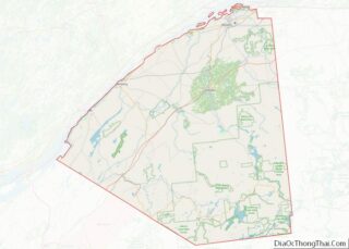
| County: | St. Lawrence County |
| Elevation: | 272 ft (83 m) |
| Total Area: | 2.37 sq mi (6.13 km²) |
| Land Area: | 2.18 sq mi (5.65 km²) |
| Water Area: | 0.19 sq mi (0.49 km²) |
| Total Population: | 937 |
| Population Density: | 429.82/sq mi (165.95/km²) |
| FIPS code: | 3677728 |
| GNISfeature ID: | 0977173 |
Online Interactive Map
Click on ![]() to view map in "full screen" mode.
to view map in "full screen" mode.
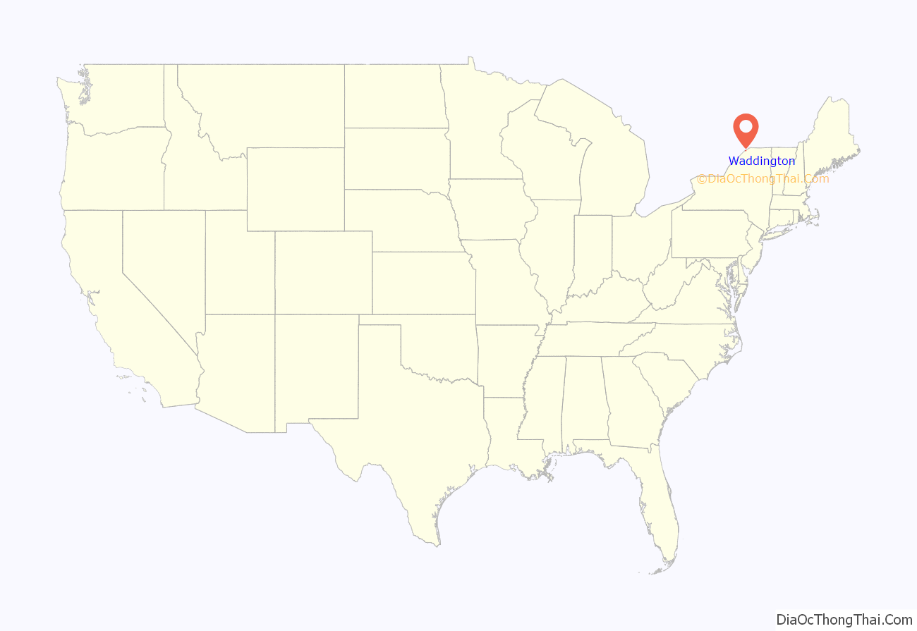
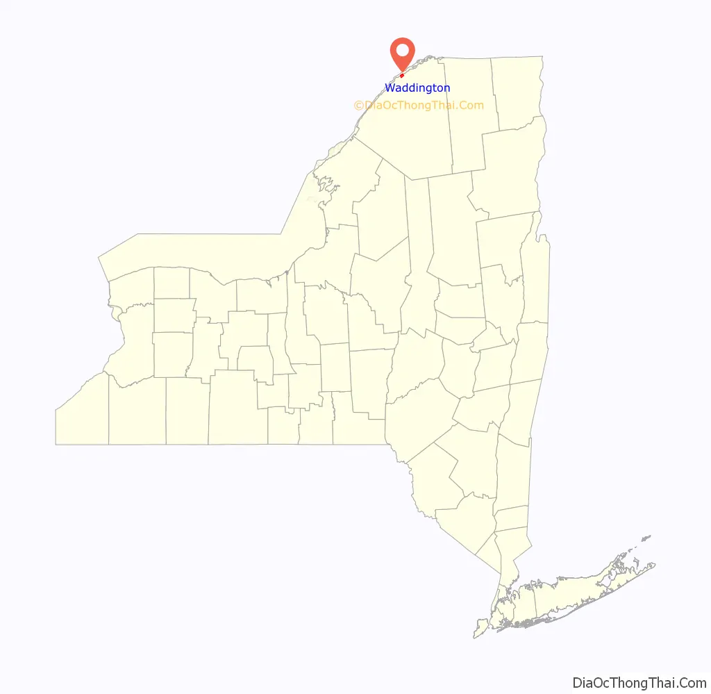
Waddington location map. Where is Waddington village?
History
The first settlers arrived around 1798.
The village was originally called “Hamilton” (after Alexander Hamilton), but was changed to Waddington in 1818. Joshua Waddington was a friend of Hamilton and one of the original landowners. The village was incorporated in 1839. When the Town of Waddington was formed afterwards, it adopted the name of the village.
During the construction of the St. Lawrence Seaway part of the village needed to be relocated and some of the old industrial area was destroyed.
The Waddington Historic District was listed on the National Register of Historic Places in 1992.
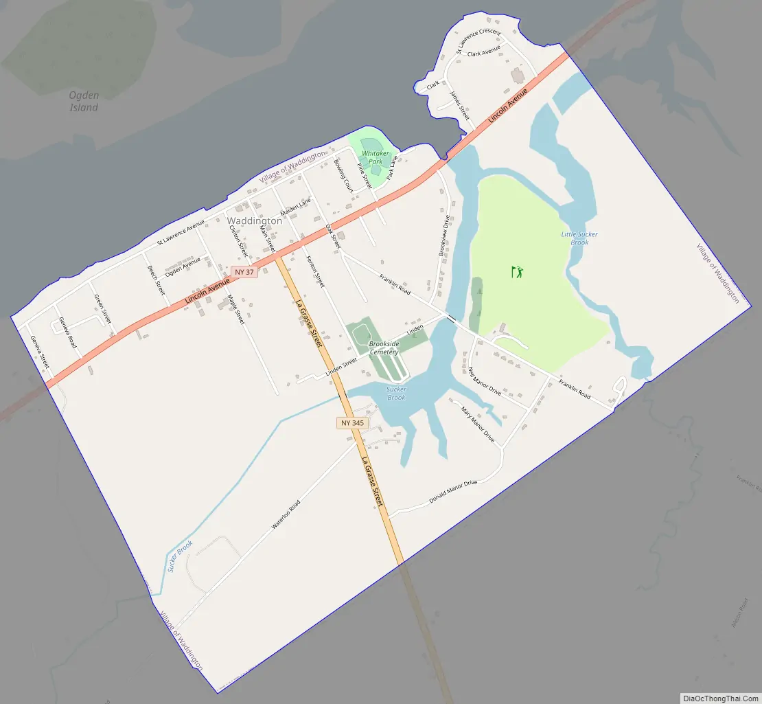
Waddington Road Map
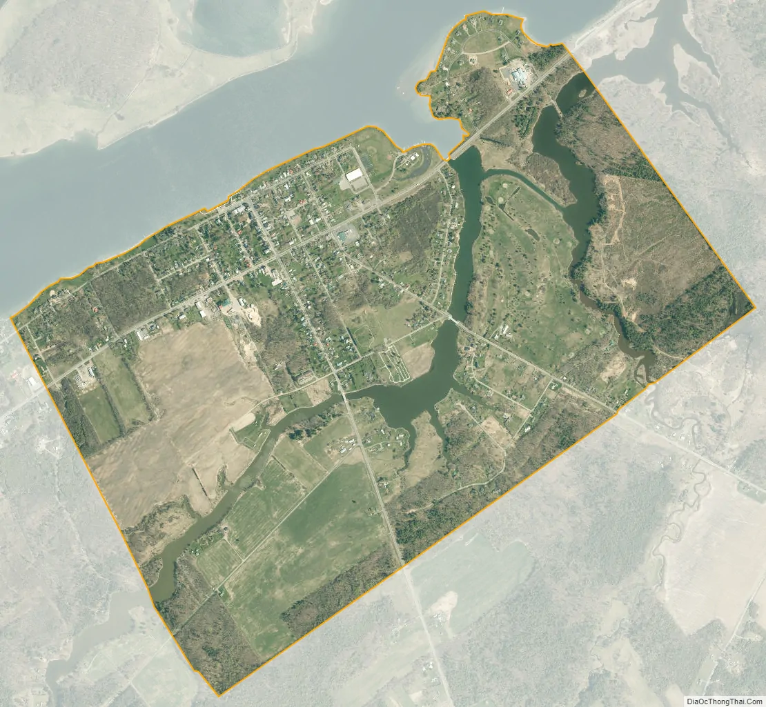
Waddington city Satellite Map
Geography
According to the United States Census Bureau, the village has a total area of 2.4 sq mi (6.2 km), of which 2.2 sq mi (5.7 km) is land and 0.2 sq mi (0.52 km) (8.82%) is water.
The village is located near the St. Lawrence River and the international border with Canada. The village fronts on Ogden Island in the St. Lawrence River.
Waddington is at the junctions of New York State Route 37 and New York State Route 345. County Road 44 serves the village from the southeast.
See also
Map of New York State and its subdivision:- Albany
- Allegany
- Bronx
- Broome
- Cattaraugus
- Cayuga
- Chautauqua
- Chemung
- Chenango
- Clinton
- Columbia
- Cortland
- Delaware
- Dutchess
- Erie
- Essex
- Franklin
- Fulton
- Genesee
- Greene
- Hamilton
- Herkimer
- Jefferson
- Kings
- Lake Ontario
- Lewis
- Livingston
- Madison
- Monroe
- Montgomery
- Nassau
- New York
- Niagara
- Oneida
- Onondaga
- Ontario
- Orange
- Orleans
- Oswego
- Otsego
- Putnam
- Queens
- Rensselaer
- Richmond
- Rockland
- Saint Lawrence
- Saratoga
- Schenectady
- Schoharie
- Schuyler
- Seneca
- Steuben
- Suffolk
- Sullivan
- Tioga
- Tompkins
- Ulster
- Warren
- Washington
- Wayne
- Westchester
- Wyoming
- Yates
- Alabama
- Alaska
- Arizona
- Arkansas
- California
- Colorado
- Connecticut
- Delaware
- District of Columbia
- Florida
- Georgia
- Hawaii
- Idaho
- Illinois
- Indiana
- Iowa
- Kansas
- Kentucky
- Louisiana
- Maine
- Maryland
- Massachusetts
- Michigan
- Minnesota
- Mississippi
- Missouri
- Montana
- Nebraska
- Nevada
- New Hampshire
- New Jersey
- New Mexico
- New York
- North Carolina
- North Dakota
- Ohio
- Oklahoma
- Oregon
- Pennsylvania
- Rhode Island
- South Carolina
- South Dakota
- Tennessee
- Texas
- Utah
- Vermont
- Virginia
- Washington
- West Virginia
- Wisconsin
- Wyoming