Walton is a village in the town of Walton in Delaware County, New York, United States. As of the 2010 census, the village population was 3,088.
Walton is the home of the annual Delaware County Fair, which is typically held in August.
There are three primary and secondary schools in Walton: Townsend Elementary School, Mack Middle School, and O’Neill High School.
| Name: | Walton village |
|---|---|
| LSAD Code: | 47 |
| LSAD Description: | village (suffix) |
| State: | New York |
| County: | Delaware County |
| Elevation: | 1,207 ft (368 m) |
| Total Area: | 1.60 sq mi (4.15 km²) |
| Land Area: | 1.54 sq mi (3.99 km²) |
| Water Area: | 0.06 sq mi (0.15 km²) |
| Total Population: | 2,885 |
| Population Density: | 1,870.95/sq mi (722.21/km²) |
| ZIP code: | 13856 |
| Area code: | 607 |
| FIPS code: | 3678036 |
| GNISfeature ID: | 0970747 |
| Website: | villageofwalton.com |
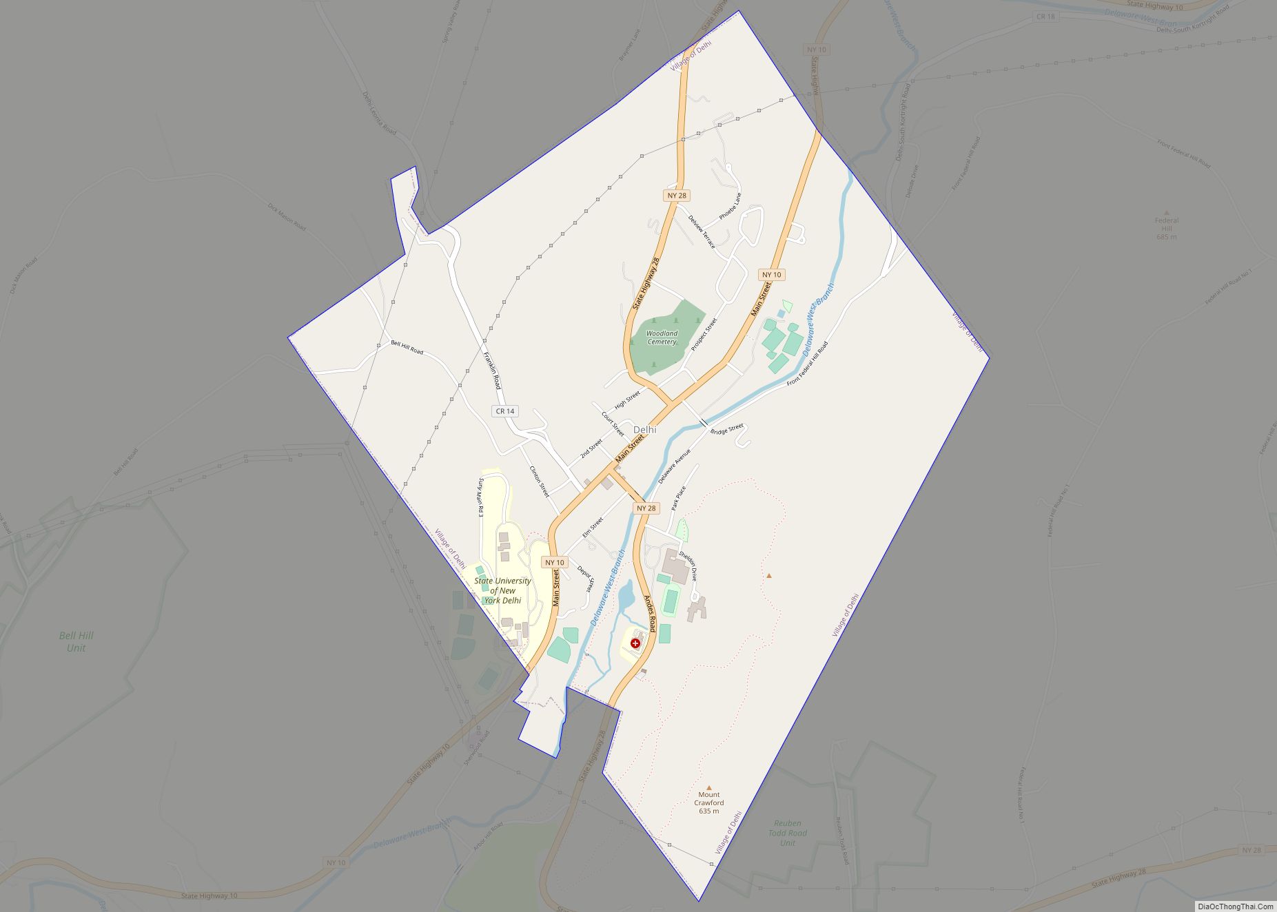
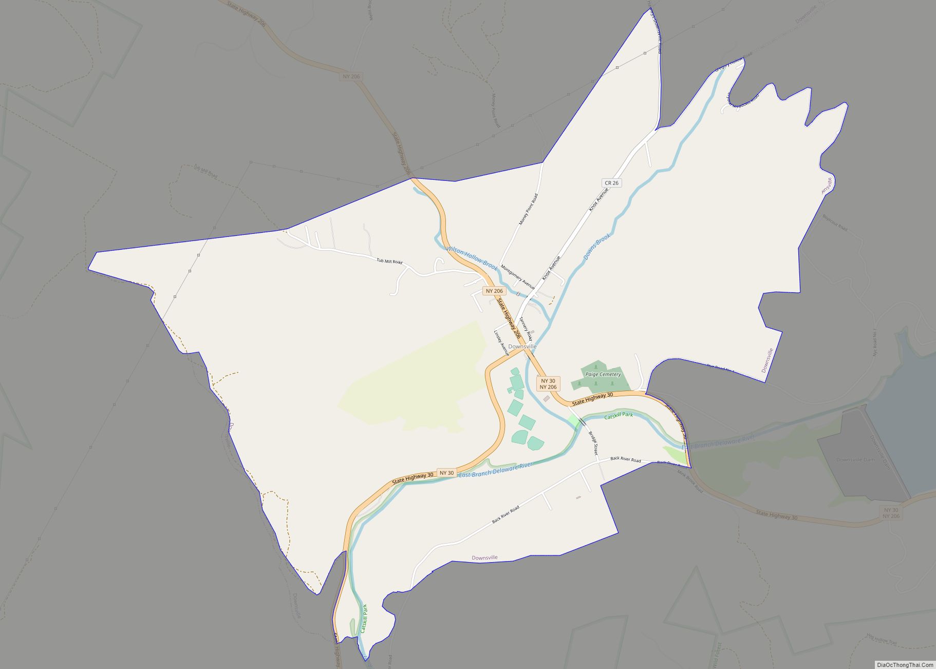
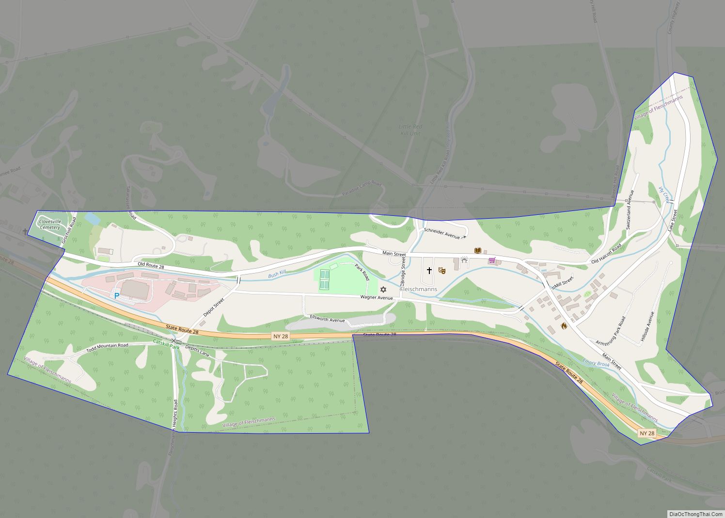
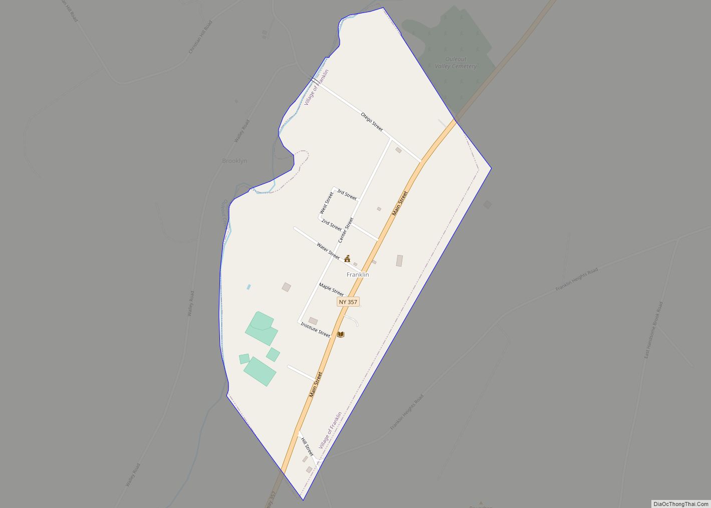
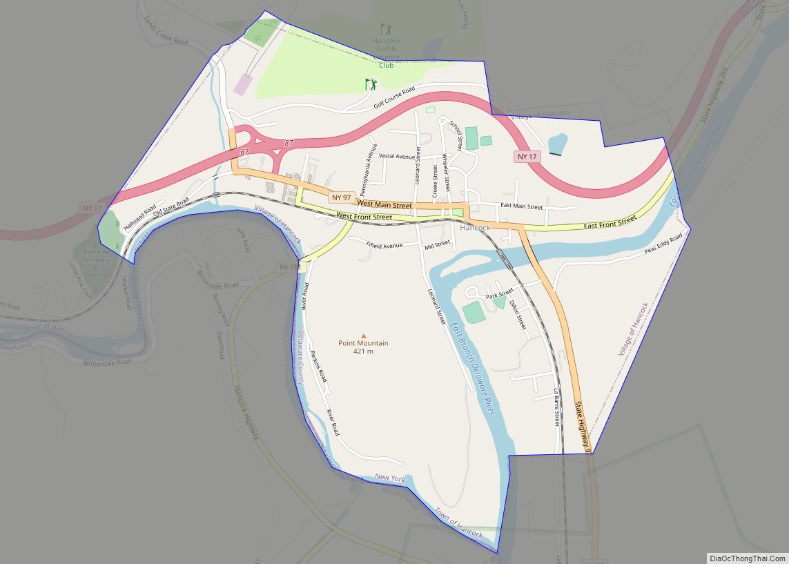
Online Interactive Map
Click on ![]() to view map in "full screen" mode.
to view map in "full screen" mode.
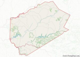
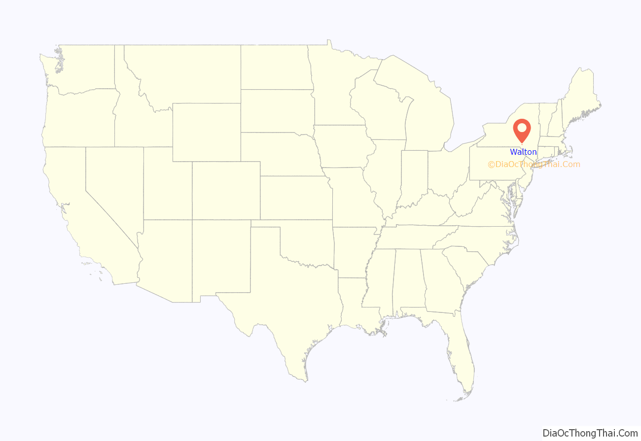
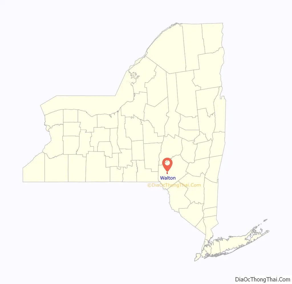
Walton location map. Where is Walton village?
History
The Christ Episcopal Church, First Congregational Church of Walton, Gardiner Place Historic District, U.S. Post Office, and the Walton Grange 1454-Former Armory, all listed on the National Register of Historic Places, are located in the village.
Walton is the birthplace of William B. Ogden (born 15 June 1805), the first mayor of Chicago and a founder of the Chicago & Northwestern Railroad line.
Walton has suffered from major flooding in 1996 and 2006.
Walton Road Map

Walton city Satellite Map

Geography
The village is located at the center of the town of Walton, along the West Branch Delaware River. New York State Route 10 passes through the village, leading northeast 16 miles (26 km) to Delhi and southwest 27 miles (43 km) to Deposit. New York State Route 206 joins NY 10 in the village center and leads northwest 23 miles (37 km) to Bainbridge and southeast 10 miles (16 km) to Downsville. It is in close proximity to Agloe, the fictional town created to prevent copyright infringement of a mapping company.
According to the United States Census Bureau, the village of Walton has a total area of 1.6 square miles (4.2 km), of which 1.5 square miles (4.0 km) is land and 0.1 square miles (0.2 km), or 3.73%, is water.
See also
Map of New York State and its subdivision:- Albany
- Allegany
- Bronx
- Broome
- Cattaraugus
- Cayuga
- Chautauqua
- Chemung
- Chenango
- Clinton
- Columbia
- Cortland
- Delaware
- Dutchess
- Erie
- Essex
- Franklin
- Fulton
- Genesee
- Greene
- Hamilton
- Herkimer
- Jefferson
- Kings
- Lake Ontario
- Lewis
- Livingston
- Madison
- Monroe
- Montgomery
- Nassau
- New York
- Niagara
- Oneida
- Onondaga
- Ontario
- Orange
- Orleans
- Oswego
- Otsego
- Putnam
- Queens
- Rensselaer
- Richmond
- Rockland
- Saint Lawrence
- Saratoga
- Schenectady
- Schoharie
- Schuyler
- Seneca
- Steuben
- Suffolk
- Sullivan
- Tioga
- Tompkins
- Ulster
- Warren
- Washington
- Wayne
- Westchester
- Wyoming
- Yates
- Alabama
- Alaska
- Arizona
- Arkansas
- California
- Colorado
- Connecticut
- Delaware
- District of Columbia
- Florida
- Georgia
- Hawaii
- Idaho
- Illinois
- Indiana
- Iowa
- Kansas
- Kentucky
- Louisiana
- Maine
- Maryland
- Massachusetts
- Michigan
- Minnesota
- Mississippi
- Missouri
- Montana
- Nebraska
- Nevada
- New Hampshire
- New Jersey
- New Mexico
- New York
- North Carolina
- North Dakota
- Ohio
- Oklahoma
- Oregon
- Pennsylvania
- Rhode Island
- South Carolina
- South Dakota
- Tennessee
- Texas
- Utah
- Vermont
- Virginia
- Washington
- West Virginia
- Wisconsin
- Wyoming