Warwick is a village in Orange County, New York, United States, in the southeastern section of the town of Warwick. The village’s population was 6,652 at the time of the 2020 census. It is part of the New York–Newark–Bridgeport, NY-NJ–CT–PA Combined Statistical Area.
| Name: | Warwick village |
|---|---|
| LSAD Code: | 47 |
| LSAD Description: | village (suffix) |
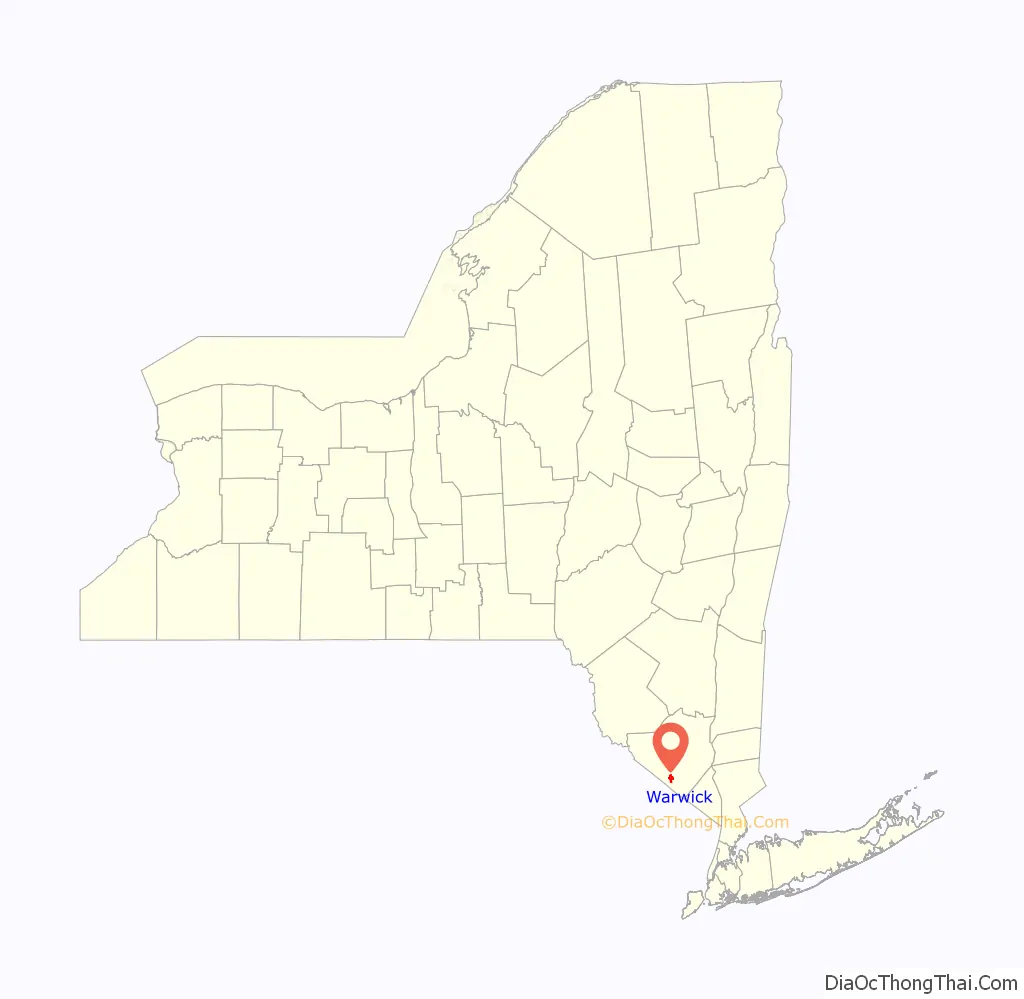
| State: | New York |
| County: | Orange County |
| Incorporated: | 1867 |
| Elevation: | 518 ft (158 m) |
| Total Area: | 2.43 sq mi (6.29 km²) |
| Land Area: | 2.43 sq mi (6.28 km²) |
| Water Area: | 0.00 sq mi (0.01 km²) |
| Total Population: | 6,652 |
| Population Density: | 2,741.96/sq mi (1,058.69/km²) |
| ZIP code: | 10990 |
| Area code: | 845 |
| FIPS code: | 3678355 |
| GNISfeature ID: | 0968829 |
| Website: | villageofwarwick.org |
Online Interactive Map
Click on ![]() to view map in "full screen" mode.
to view map in "full screen" mode.
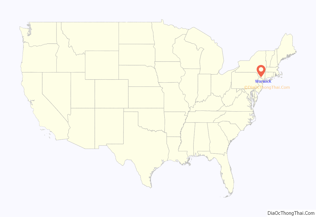
Warwick location map. Where is Warwick village?
History
Settled in the middle part of the 18th Century, the village grew from its agricultural roots as a stopover on the King’s Highway between Philadelphia and Newburgh, New York. During the American War for Independence, British General Burgoyne and his army camped on the outskirts of the village after their defeat at the Battle of Saratoga. Also during the American Revolution, Martha Washington stayed at Baird’s Tavern, now located on Main Street in the Village.
In 1859, Grinnell Burt along with other local businessmen met to form a new rail line from the Erie Railroad’s main line at Greycourt to the village as a means of transporting milk and other agricultural products to market. The Warwick Valley Railroad was chartered on March 8, 1860, and the line was completed in 1862 functioning essentially as a 10-mile long branch of the 6-foot gauge Erie. Almost all of the commercial brick buildings in the village date to this period including the Dispatch Building and Demerest Hotel which were built to house passengers from the trains. When the line was extended to Belvidere, then to Allentown, the Warwick Valley Railroad was merged into the Lehigh and Hudson River Railway in 1882 with Warwick serving as the headquarters for the 90+ mile line for its entire history. The railyard first established at the South Street terminus was replaced first with a roundhouse and machine shop at Elm Street, then in 1910 with a full complex off of River Street (the present site of Jones Chemical). The L&HR served as a major “bridge line” of freight traffic between Pennsylvania and the enormous railyard at Maybrook, New York where freight would be forward to New England over the vitally important Poughkeepsie Railroad Bridge. With the advent of the age of the automobile, the small passenger business that existed dried up and the last passenger train was run between Warwick and Greycourt on July 8, 1939. The L&HR was the largest single employer in the village of Warwick, but with the decline of rail and the burning of the Poughkeepsie Bridge in May 1974, the L&HR was deemed irrelevant and the bankrupt railroad was folded into Conrail in 1976.
Without any link to a major highway, Warwick avoided the rapid development of other town in Orange County at the beginning of the 21st Century and maintains its small town charm to this day. one hundred and thirty acres (53 hectares) along Routes 94 and 17A in the center of the village are listed on the National Register of Historic Places as the Warwick Village Historic District. Buildings there range from the oldest in the village, the 1764 Shingle House, preserved and maintained by the Historical Society of the Town of Warwick, also known as the Warwick Historical Society, to large early 20th-century cottages built by weekend vacationers from New York City.
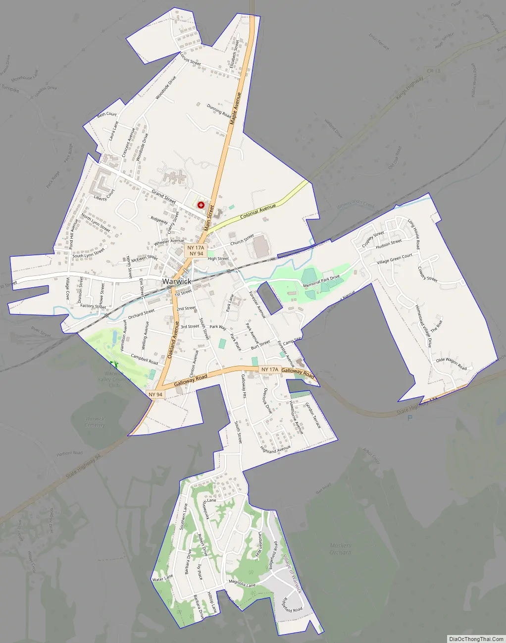
Warwick Road Map
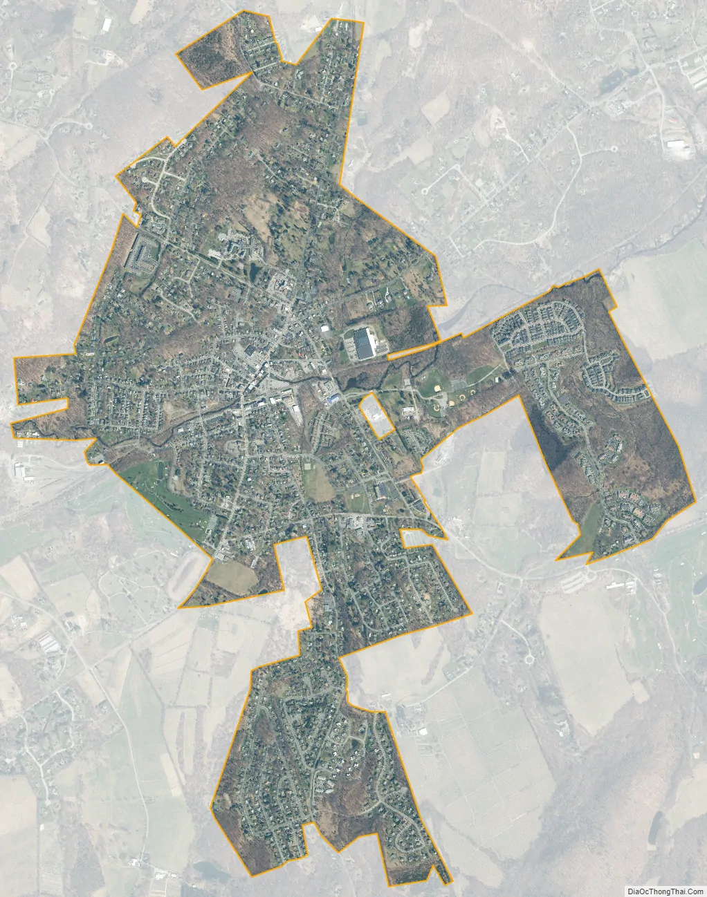
Warwick city Satellite Map
Geography
Warwick is located at 41°15′11″N 74°21′24″W / 41.25306°N 74.35667°W / 41.25306; -74.35667 (41.25313, -74.356815).
According to the United States Census Bureau, the village has a total area of 2.2 sq mi (5.7 km), all land.
NY-94 and NY-17A intersect in the center of the village and connect Warwick to the villages of Florida and Greenwood Lake. County highways 1A, 1B, and 13 lead into the village also. On the northern end of the village is St. Anthony Medical Center. With the termination of the passenger railroad, the only form of public transportation to New York City is NJ Transit buses, using either the 196 (express) or 197 (local) routes.
The state line between New York and New Jersey is four miles (6.4 km) west of the village. Hamlets surrounding the village include Amity, Bellvale, Wisner, Edenville, Greenwood Forest Farms, Little York, New Milford, Pine Island, and Sterling Forest.
See also
Map of New York State and its subdivision:- Albany
- Allegany
- Bronx
- Broome
- Cattaraugus
- Cayuga
- Chautauqua
- Chemung
- Chenango
- Clinton
- Columbia
- Cortland
- Delaware
- Dutchess
- Erie
- Essex
- Franklin
- Fulton
- Genesee
- Greene
- Hamilton
- Herkimer
- Jefferson
- Kings
- Lake Ontario
- Lewis
- Livingston
- Madison
- Monroe
- Montgomery
- Nassau
- New York
- Niagara
- Oneida
- Onondaga
- Ontario
- Orange
- Orleans
- Oswego
- Otsego
- Putnam
- Queens
- Rensselaer
- Richmond
- Rockland
- Saint Lawrence
- Saratoga
- Schenectady
- Schoharie
- Schuyler
- Seneca
- Steuben
- Suffolk
- Sullivan
- Tioga
- Tompkins
- Ulster
- Warren
- Washington
- Wayne
- Westchester
- Wyoming
- Yates
- Alabama
- Alaska
- Arizona
- Arkansas
- California
- Colorado
- Connecticut
- Delaware
- District of Columbia
- Florida
- Georgia
- Hawaii
- Idaho
- Illinois
- Indiana
- Iowa
- Kansas
- Kentucky
- Louisiana
- Maine
- Maryland
- Massachusetts
- Michigan
- Minnesota
- Mississippi
- Missouri
- Montana
- Nebraska
- Nevada
- New Hampshire
- New Jersey
- New Mexico
- New York
- North Carolina
- North Dakota
- Ohio
- Oklahoma
- Oregon
- Pennsylvania
- Rhode Island
- South Carolina
- South Dakota
- Tennessee
- Texas
- Utah
- Vermont
- Virginia
- Washington
- West Virginia
- Wisconsin
- Wyoming


