Weedsport is a village in Cayuga County, New York, United States. The population was 1,815 at the 2010 census. The name is from Elihu and Edward Weed, merchants who helped found the village. Weedsport is in the town of Brutus, west of Syracuse. It was a port on the Erie Canal. Whitford’s Airport is north of the village in the town of Cato.
| Name: | Weedsport village |
|---|---|
| LSAD Code: | 47 |
| LSAD Description: | village (suffix) |
| State: | New York |
| County: | Cayuga County |
| Elevation: | 413 ft (126 m) |
| Total Area: | 0.98 sq mi (2.53 km²) |
| Land Area: | 0.98 sq mi (2.53 km²) |
| Water Area: | 0.00 sq mi (0.00 km²) |
| Total Population: | 1,788 |
| Population Density: | 1,831.97/sq mi (707.58/km²) |
| ZIP code: | 13166 |
| Area code: | 315 |
| FIPS code: | 3679015 |
| GNISfeature ID: | 0969005 |
| Website: | villageofweedsport.org |
Online Interactive Map
Click on ![]() to view map in "full screen" mode.
to view map in "full screen" mode.
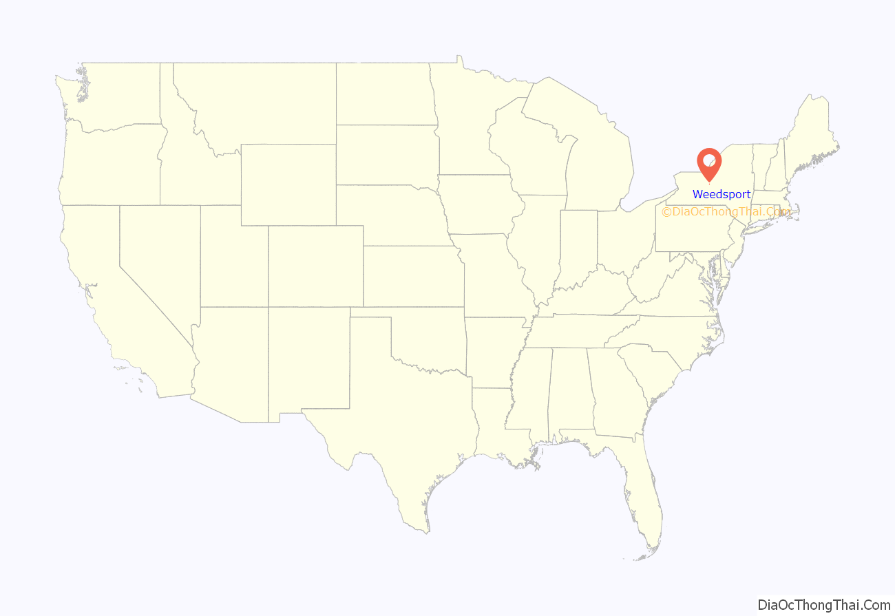
Weedsport location map. Where is Weedsport village?
History
Weedsport was within the Central New York Military Tract. The village was originally named “Weed’s Basin” because the town had a basin (boat turnaround) during the Erie Canal era. The name was then changed to Weedsport.
The village was incorporated in 1831.
Weedsport Elementary School was built in 1908. Renovations to the elementary school in 1986 added more classrooms, a gymnasium, and a homemaking facility. Weedsport Junior/Senior High School was built in 1957 and later expanded in 1967 and 2005.
The Centreport Aqueduct was listed on the National Register of Historic Places in 2000. The First Baptist Church of Weedsport was listed in 2002, the Orrin W. Burritt House in 2007, and the Frank and Eliza Tryon House in 2014.
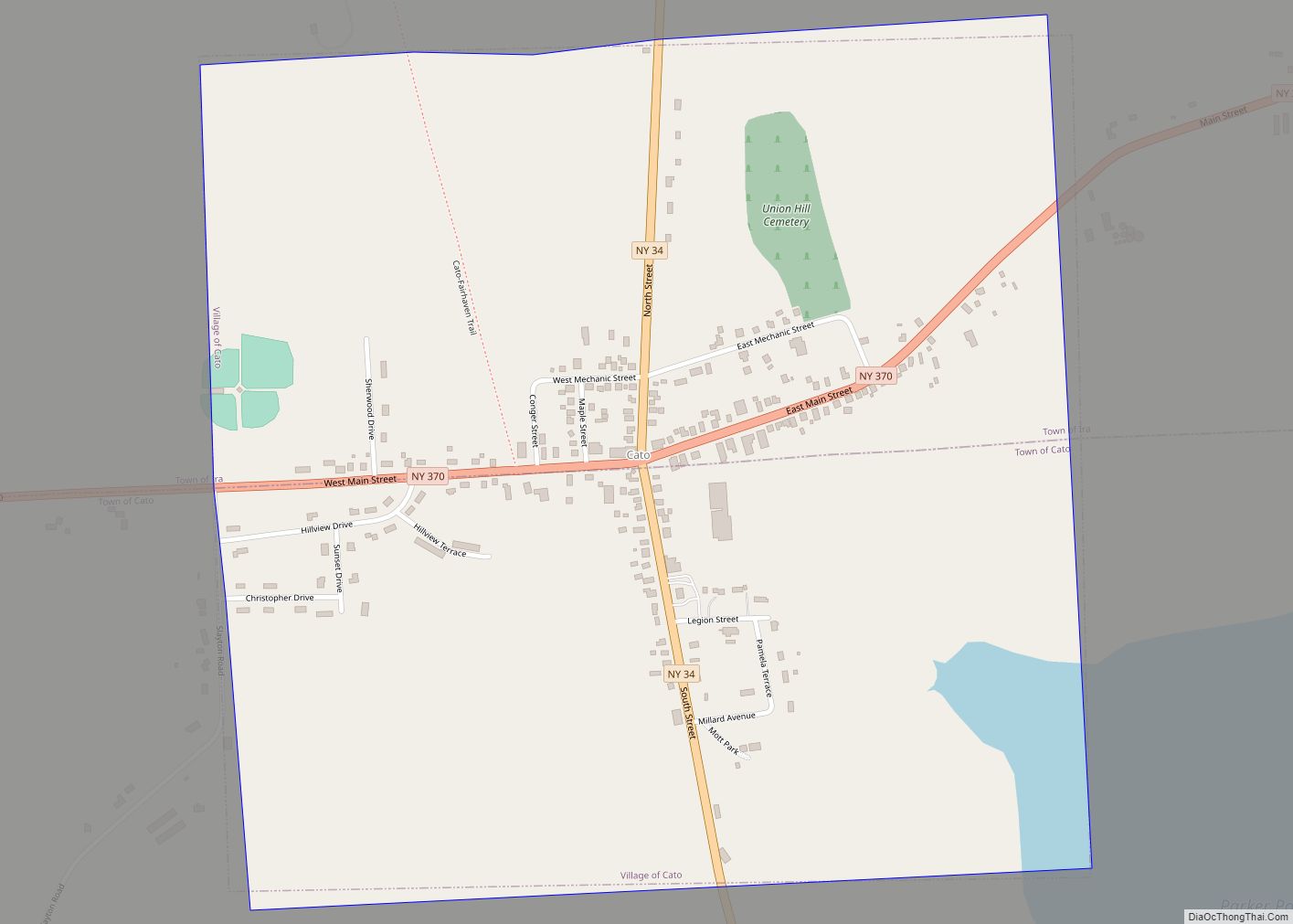
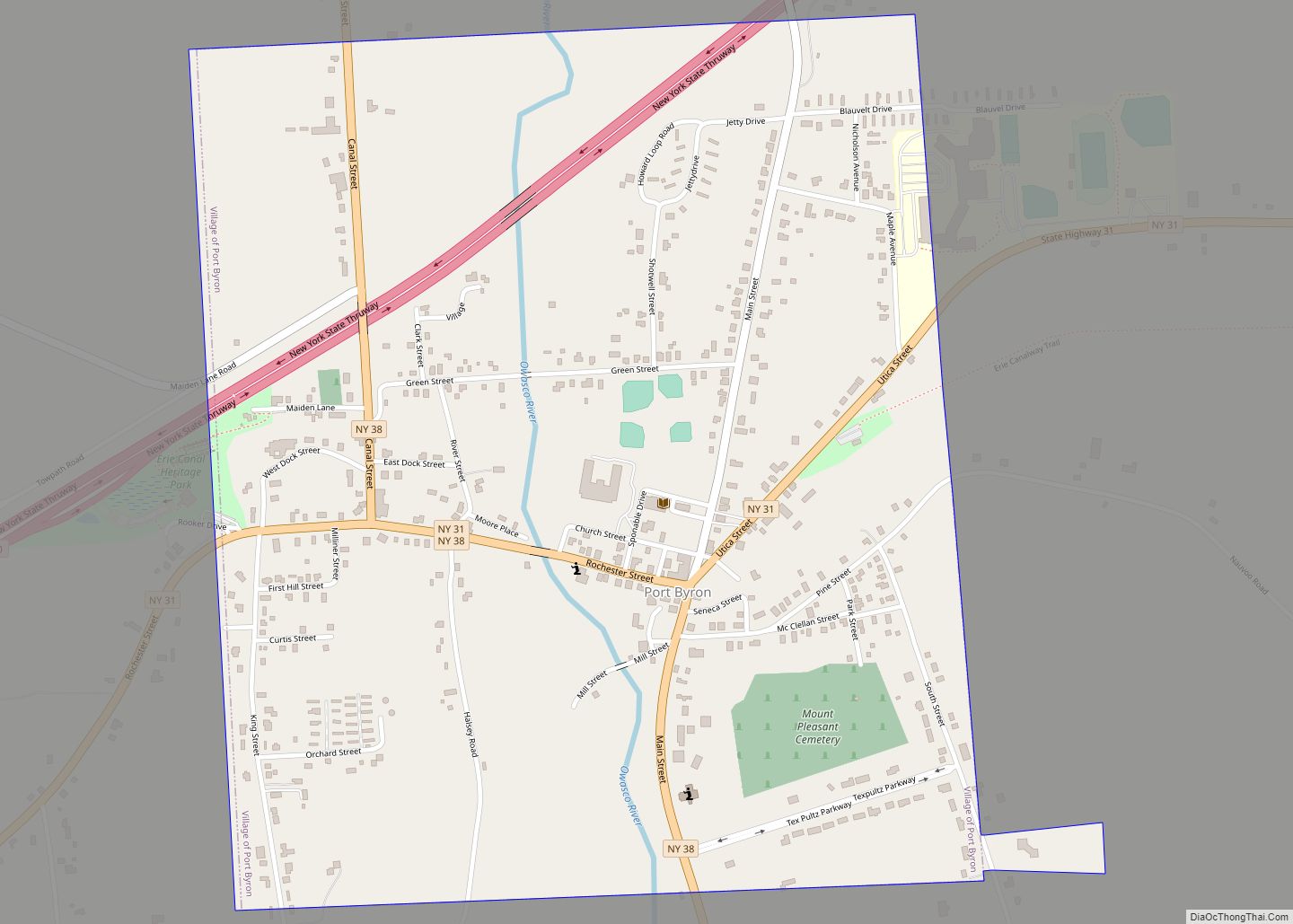
Weedsport Road Map
Weedsport city Satellite Map
Geography
Weedsport is located at 43°3′N 76°34′W / 43.050°N 76.567°W / 43.050; -76.567 (43.0488, -76.5628).
According to the United States Census Bureau, the village has a total area of 0.98 square miles (2.53 km), all land.
New York State Route 31 and New York State Route 34 intersect in Weedsport. The New York State Thruway passes just north of the village, with access from Exit 40. The Erie Canal once passed through Weedsport but now follows the Seneca River one mile north of the village.
See also
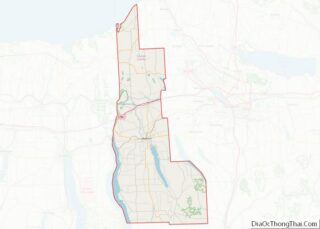
Map of New York State and its subdivision:- Albany
- Allegany
- Bronx
- Broome
- Cattaraugus
- Cayuga
- Chautauqua
- Chemung
- Chenango
- Clinton
- Columbia
- Cortland
- Delaware
- Dutchess
- Erie
- Essex
- Franklin
- Fulton
- Genesee
- Greene
- Hamilton
- Herkimer
- Jefferson
- Kings
- Lake Ontario
- Lewis
- Livingston
- Madison
- Monroe
- Montgomery
- Nassau
- New York
- Niagara
- Oneida
- Onondaga
- Ontario
- Orange
- Orleans
- Oswego
- Otsego
- Putnam
- Queens
- Rensselaer
- Richmond
- Rockland
- Saint Lawrence
- Saratoga
- Schenectady
- Schoharie
- Schuyler
- Seneca
- Steuben
- Suffolk
- Sullivan
- Tioga
- Tompkins
- Ulster
- Warren
- Washington
- Wayne
- Westchester
- Wyoming
- Yates
- Alabama
- Alaska
- Arizona
- Arkansas
- California
- Colorado
- Connecticut
- Delaware
- District of Columbia
- Florida
- Georgia
- Hawaii
- Idaho
- Illinois
- Indiana
- Iowa
- Kansas
- Kentucky
- Louisiana
- Maine
- Maryland
- Massachusetts
- Michigan
- Minnesota
- Mississippi
- Missouri
- Montana
- Nebraska
- Nevada
- New Hampshire
- New Jersey
- New Mexico
- New York
- North Carolina
- North Dakota
- Ohio
- Oklahoma
- Oregon
- Pennsylvania
- Rhode Island
- South Carolina
- South Dakota
- Tennessee
- Texas
- Utah
- Vermont
- Virginia
- Washington
- West Virginia
- Wisconsin
- Wyoming
