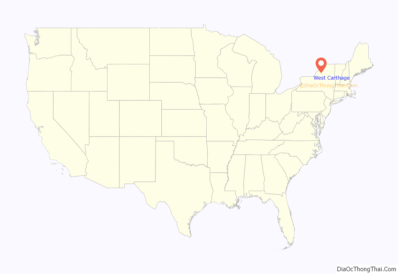
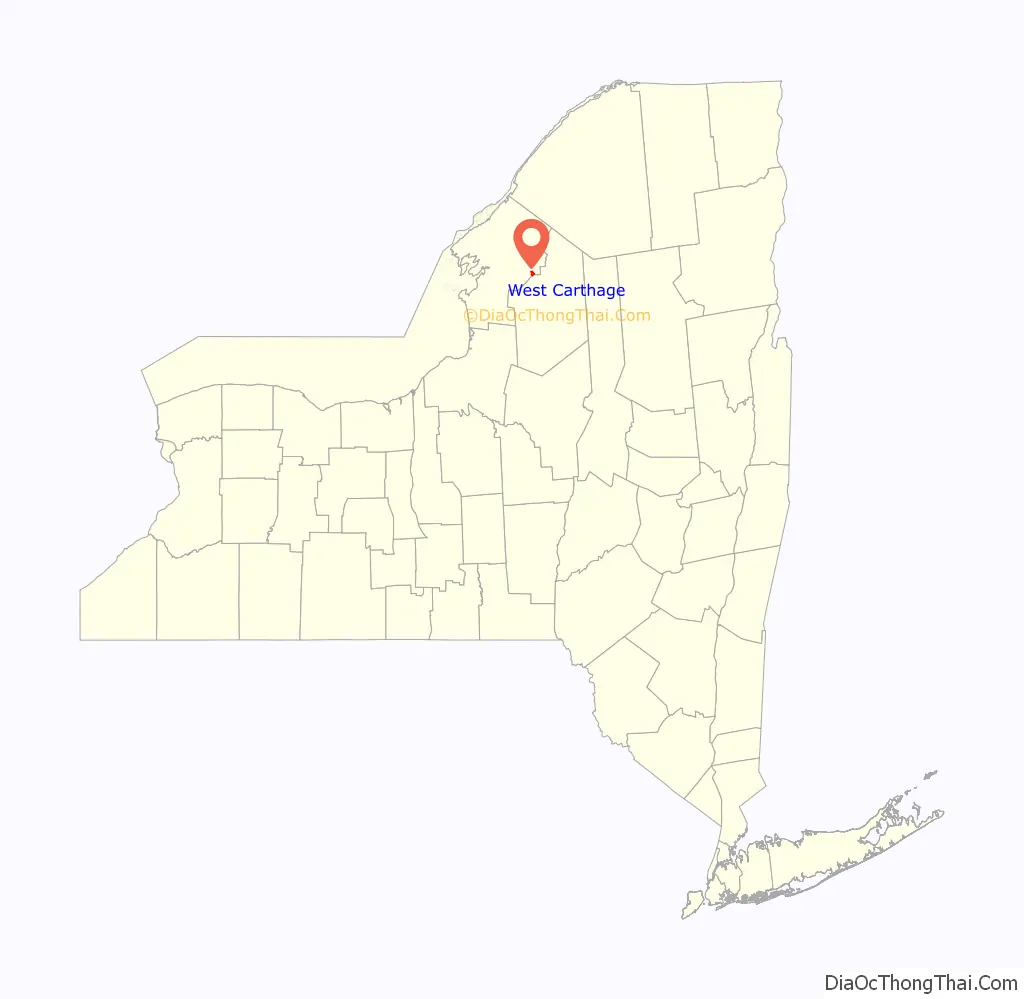
West Carthage is a village in Jefferson County, New York, United States. The population was 2,012 at the 2010 census.
West Carthage is in the town of Champion, next to the eastern town line, and is east of Watertown. West Carthage is adjacent to the village of Carthage and is south of Fort Drum.
| Name: | West Carthage village |
|---|---|
| LSAD Code: | 47 |
| LSAD Description: | village (suffix) |
| State: | New York |
| County: | Jefferson County |
| Elevation: | 778 ft (237 m) |
| Total Area: | 1.41 sq mi (3.64 km²) |
| Land Area: | 1.31 sq mi (3.39 km²) |
| Water Area: | 0.10 sq mi (0.25 km²) |
| Total Population: | 1,780 |
| Population Density: | 1,360.86/sq mi (525.63/km²) |
| ZIP code: | 13619 |
| Area code: | 315 |
| FIPS code: | 3679499 |
| GNISfeature ID: | 0969168 |
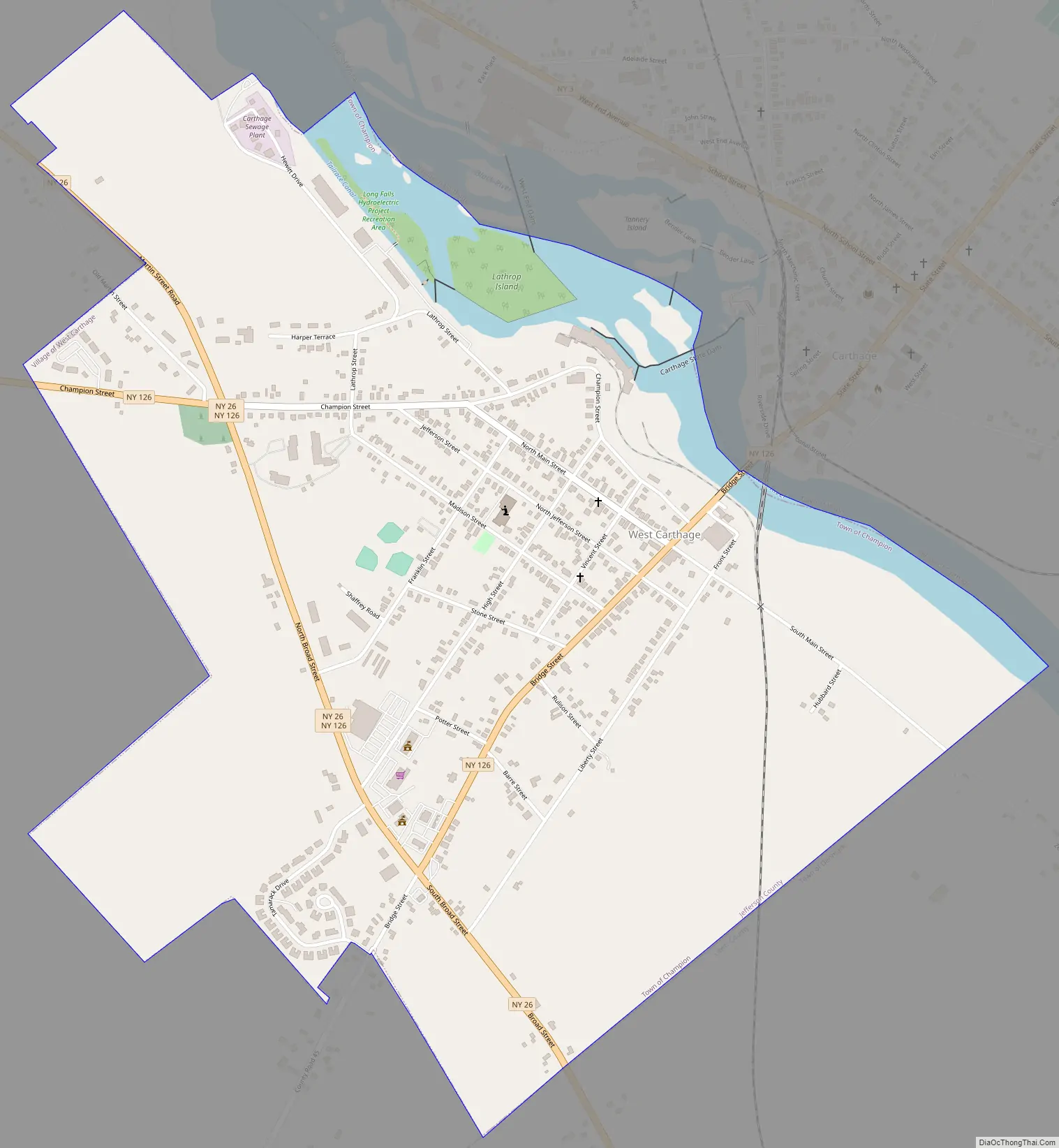
Online Interactive Map
Click on ![]() to view map in "full screen" mode.
to view map in "full screen" mode.
West Carthage location map. Where is West Carthage village?
History
Settlement began circa 1798 with a ferry service and tavern established at that location, but development was slower compared to Carthage on the other side of the Black River in spite of water power available to both communities.
The village was incorporated in 1889, yet the early village government encountered notable resistance to obtaining funds for development.
West Carthage Road Map
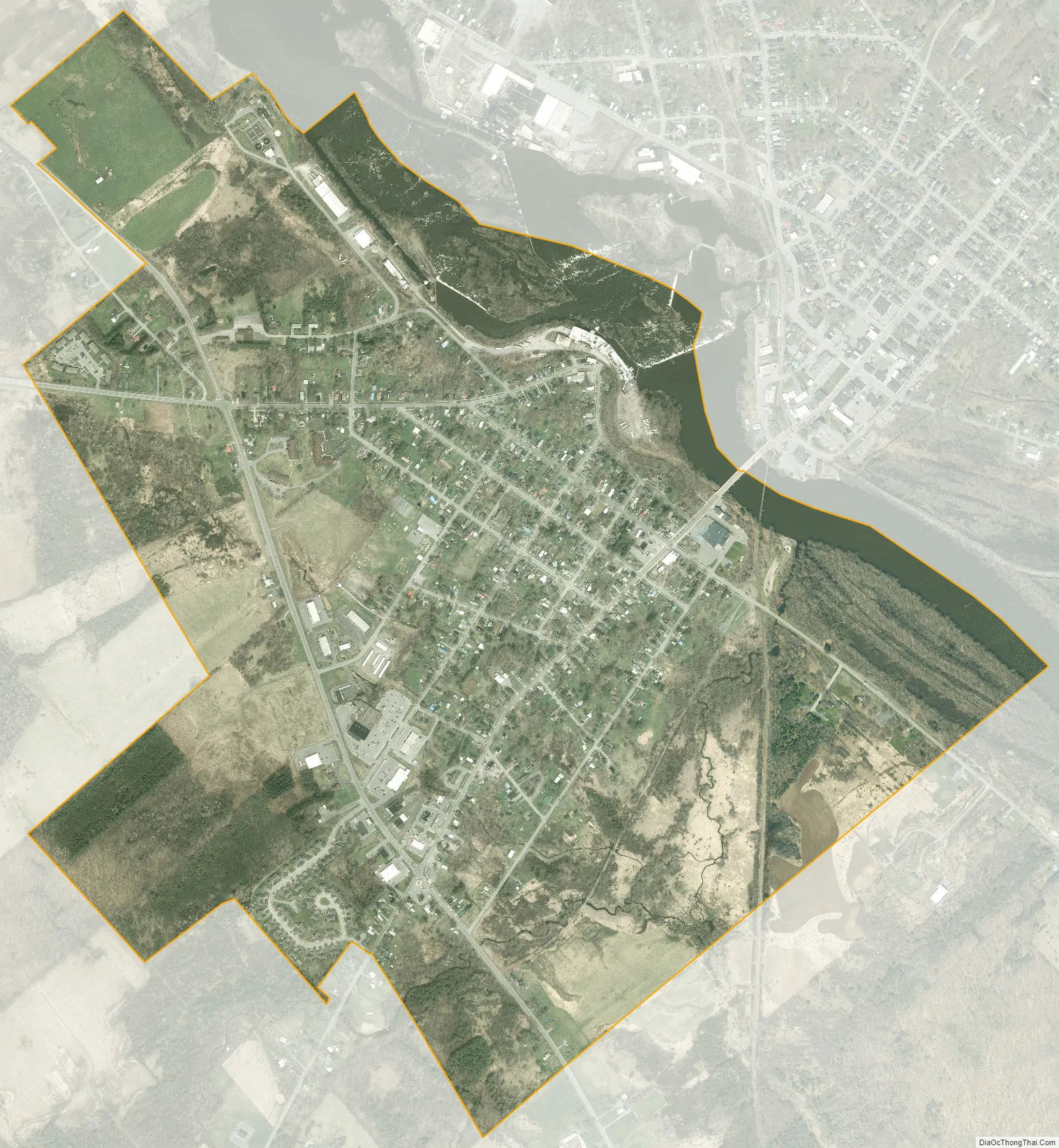
West Carthage city Satellite Map
Geography
West Carthage is located in eastern Jefferson County at 43°58′25″N 75°37′17″W / 43.973678°N 75.621355°W / 43.973678; -75.621355, in the town of Champion. Its northeastern boundary follows the Black River, across which is the village of Carthage in the town of Wilna. The southeastern boundary of the village is the Jefferson/Lewis County line, with the town of Denmark as the village’s neighbor.
According to the United States Census Bureau, West Carthage has a total area of 1.4 square miles (3.6 km), of which 1.30 square miles (3.36 km) are land and 0.097 square miles (0.25 km), or 6.96%, are water.
West Carthage is at the junction of New York State Route 26 and New York State Route 126. Route 26 leads northwest 6 miles (10 km) to Great Bend and southeast 15 miles (24 km) to Lowville, while Route 126 leads west 15 miles to Watertown, the Jefferson county seat.
See also
Map of New York State and its subdivision:- Albany
- Allegany
- Bronx
- Broome
- Cattaraugus
- Cayuga
- Chautauqua
- Chemung
- Chenango
- Clinton
- Columbia
- Cortland
- Delaware
- Dutchess
- Erie
- Essex
- Franklin
- Fulton
- Genesee
- Greene
- Hamilton
- Herkimer
- Jefferson
- Kings
- Lake Ontario
- Lewis
- Livingston
- Madison
- Monroe
- Montgomery
- Nassau
- New York
- Niagara
- Oneida
- Onondaga
- Ontario
- Orange
- Orleans
- Oswego
- Otsego
- Putnam
- Queens
- Rensselaer
- Richmond
- Rockland
- Saint Lawrence
- Saratoga
- Schenectady
- Schoharie
- Schuyler
- Seneca
- Steuben
- Suffolk
- Sullivan
- Tioga
- Tompkins
- Ulster
- Warren
- Washington
- Wayne
- Westchester
- Wyoming
- Yates
- Alabama
- Alaska
- Arizona
- Arkansas
- California
- Colorado
- Connecticut
- Delaware
- District of Columbia
- Florida
- Georgia
- Hawaii
- Idaho
- Illinois
- Indiana
- Iowa
- Kansas
- Kentucky
- Louisiana
- Maine
- Maryland
- Massachusetts
- Michigan
- Minnesota
- Mississippi
- Missouri
- Montana
- Nebraska
- Nevada
- New Hampshire
- New Jersey
- New Mexico
- New York
- North Carolina
- North Dakota
- Ohio
- Oklahoma
- Oregon
- Pennsylvania
- Rhode Island
- South Carolina
- South Dakota
- Tennessee
- Texas
- Utah
- Vermont
- Virginia
- Washington
- West Virginia
- Wisconsin
- Wyoming


