West Hurley is a hamlet (and census-designated place) in Ulster County, New York, United States. The population was 1,917 at the 2020 census.
West Hurley is located in the Town of Hurley and is inside the Catskill Park. The community is northwest of Kingston on Route 28.
It was one of many villages that were flooded during the creation of the Ashokan Reservoir. The village was moved, and currently resides on the northern bank of the reservoir.
| Name: | West Hurley CDP |
|---|---|
| LSAD Code: | 57 |
| LSAD Description: | CDP (suffix) |
| State: | New York |
| County: | Ulster County |
| Elevation: | 597 ft (182 m) |
| Total Area: | 3.79 sq mi (9.81 km²) |
| Land Area: | 3.79 sq mi (9.81 km²) |
| Water Area: | 0.00 sq mi (0.00 km²) |
| Total Population: | 1,917 |
| Population Density: | 506.21/sq mi (195.43/km²) |
| ZIP code: | 12491 |
| Area code: | 845 |
| FIPS code: | 3680291 |
| GNISfeature ID: | 0969272 |
Online Interactive Map
Click on ![]() to view map in "full screen" mode.
to view map in "full screen" mode.
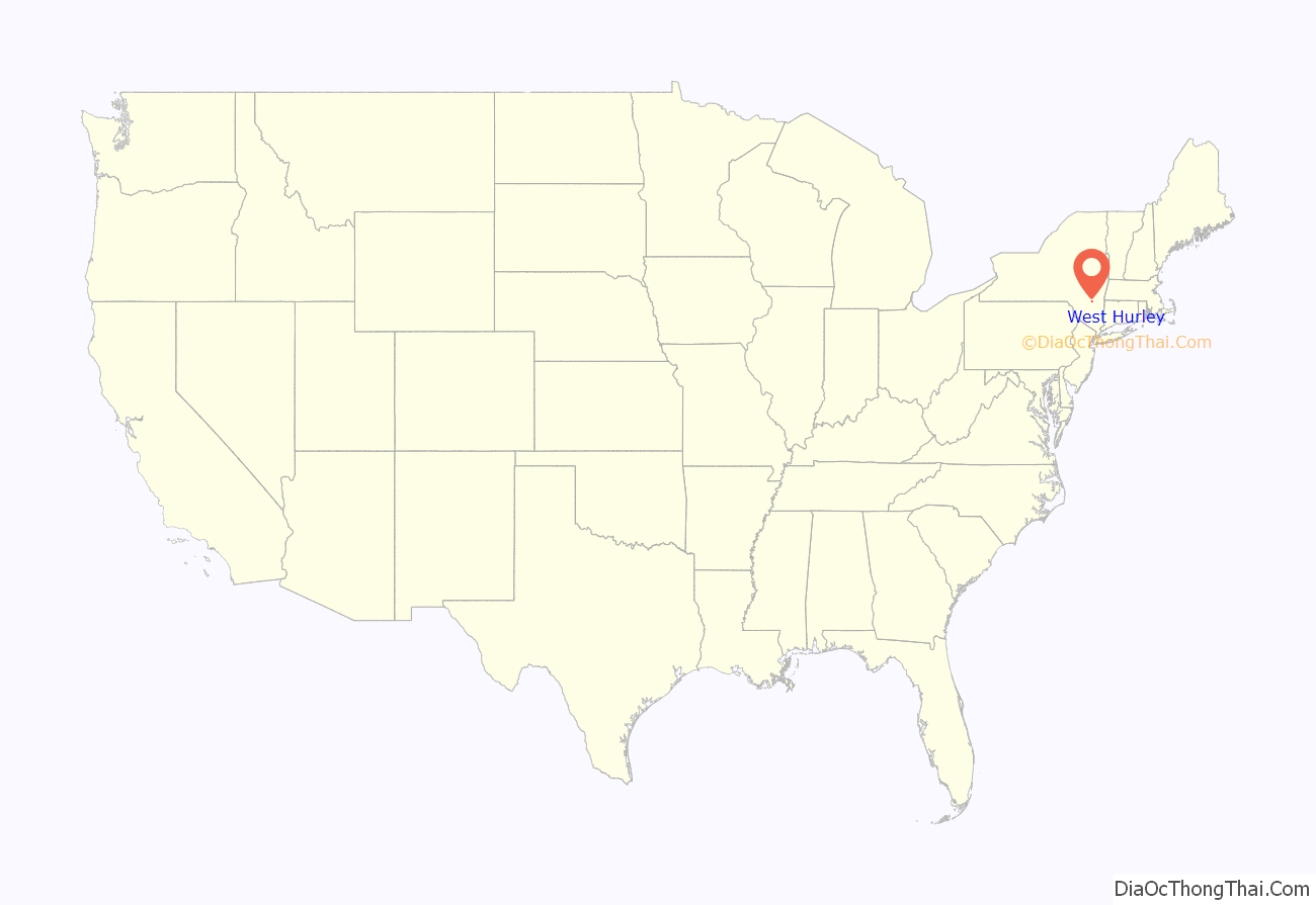
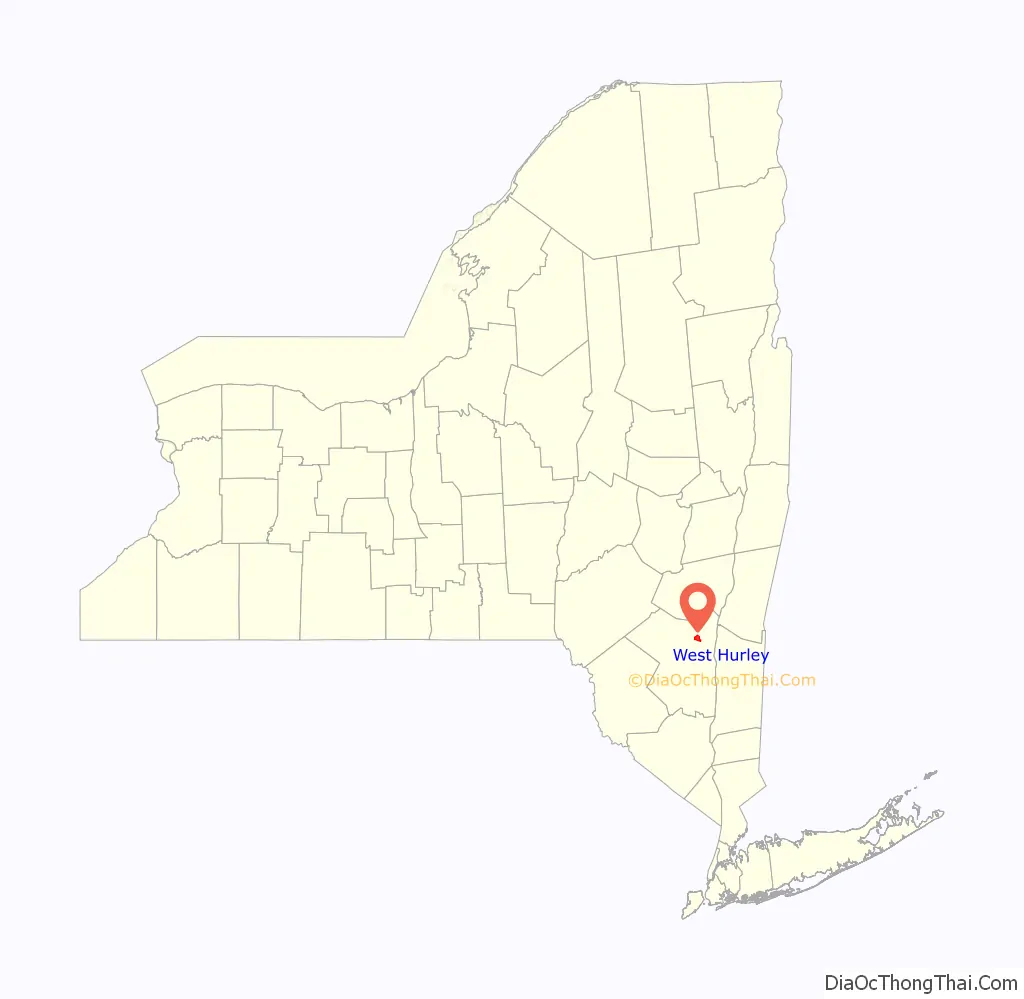
West Hurley location map. Where is West Hurley CDP?
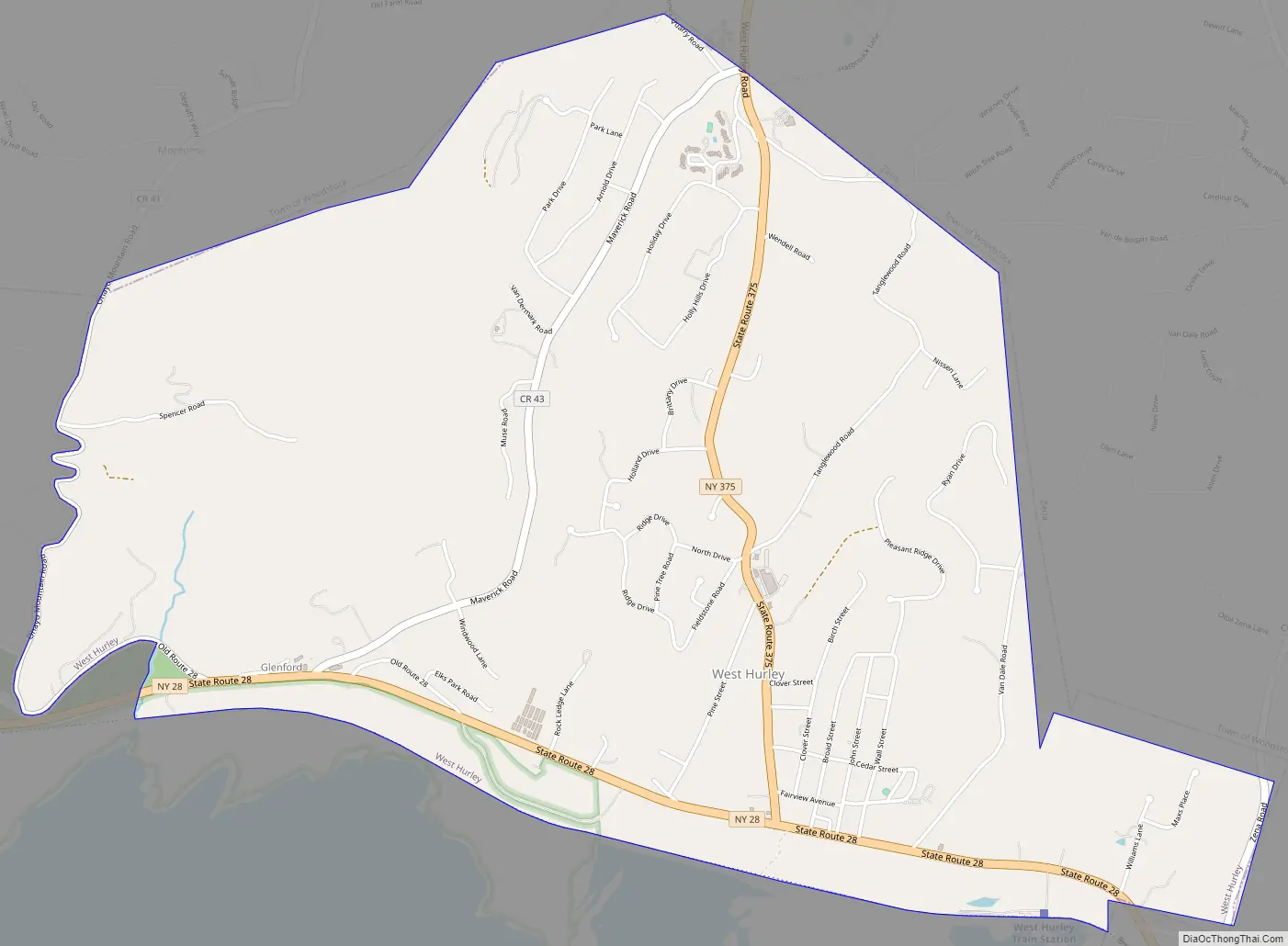
West Hurley Road Map
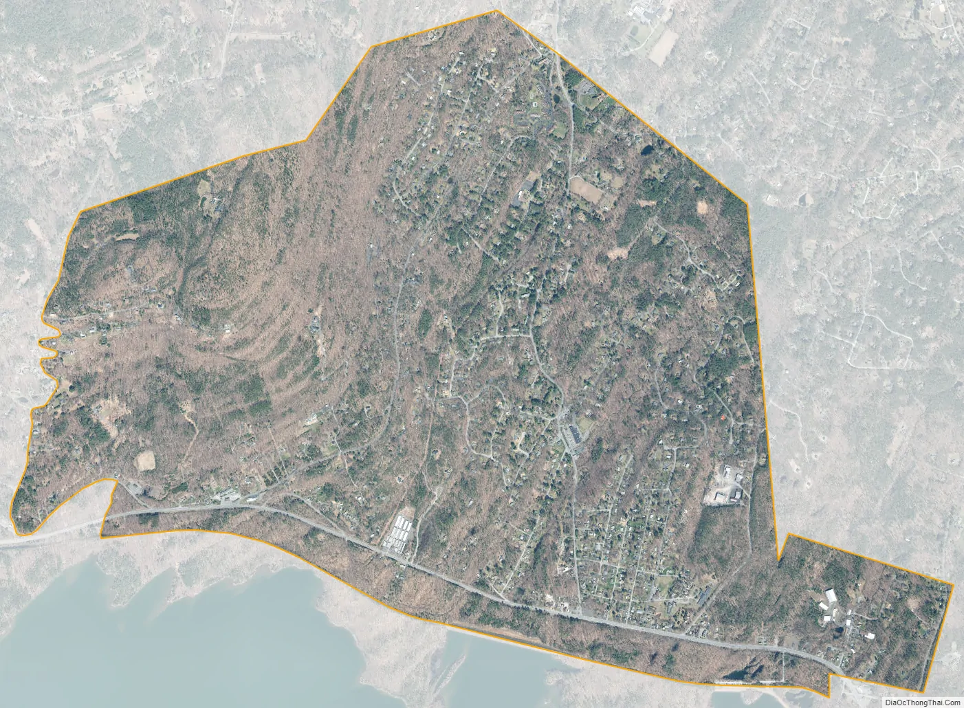
West Hurley city Satellite Map
Geography
West Hurley is located at 42°0′16″N 74°6′34″W / 42.00444°N 74.10944°W / 42.00444; -74.10944 (42.004442, -74.109312).
According to the United States Census Bureau, the CDP has a total area of 3.8 square miles (9.8 km), all land.
See also
Map of New York State and its subdivision:- Albany
- Allegany
- Bronx
- Broome
- Cattaraugus
- Cayuga
- Chautauqua
- Chemung
- Chenango
- Clinton
- Columbia
- Cortland
- Delaware
- Dutchess
- Erie
- Essex
- Franklin
- Fulton
- Genesee
- Greene
- Hamilton
- Herkimer
- Jefferson
- Kings
- Lake Ontario
- Lewis
- Livingston
- Madison
- Monroe
- Montgomery
- Nassau
- New York
- Niagara
- Oneida
- Onondaga
- Ontario
- Orange
- Orleans
- Oswego
- Otsego
- Putnam
- Queens
- Rensselaer
- Richmond
- Rockland
- Saint Lawrence
- Saratoga
- Schenectady
- Schoharie
- Schuyler
- Seneca
- Steuben
- Suffolk
- Sullivan
- Tioga
- Tompkins
- Ulster
- Warren
- Washington
- Wayne
- Westchester
- Wyoming
- Yates
- Alabama
- Alaska
- Arizona
- Arkansas
- California
- Colorado
- Connecticut
- Delaware
- District of Columbia
- Florida
- Georgia
- Hawaii
- Idaho
- Illinois
- Indiana
- Iowa
- Kansas
- Kentucky
- Louisiana
- Maine
- Maryland
- Massachusetts
- Michigan
- Minnesota
- Mississippi
- Missouri
- Montana
- Nebraska
- Nevada
- New Hampshire
- New Jersey
- New Mexico
- New York
- North Carolina
- North Dakota
- Ohio
- Oklahoma
- Oregon
- Pennsylvania
- Rhode Island
- South Carolina
- South Dakota
- Tennessee
- Texas
- Utah
- Vermont
- Virginia
- Washington
- West Virginia
- Wisconsin
- Wyoming


