Whitesboro is a village in Oneida County, New York, United States. The population was 3,772 at the 2010 census. The village is named after Hugh White, an early settler.
The Village of Whitesboro is inside the Town of Whitestown.
| Name: | Whitesboro village |
|---|---|
| LSAD Code: | 47 |
| LSAD Description: | village (suffix) |
| State: | New York |
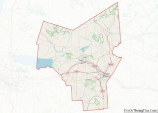
| County: | Oneida County |
| Elevation: | 423 ft (129 m) |
| Total Area: | 1.05 sq mi (2.72 km²) |
| Land Area: | 1.05 sq mi (2.72 km²) |
| Water Area: | 0.00 sq mi (0.00 km²) |
| Total Population: | 3,612 |
| Population Density: | 3,440.00/sq mi (1,328.72/km²) |
| ZIP code: | 13492 |
| Area code: | 315 |
| FIPS code: | 3681710 |
| GNISfeature ID: | 0971160 |
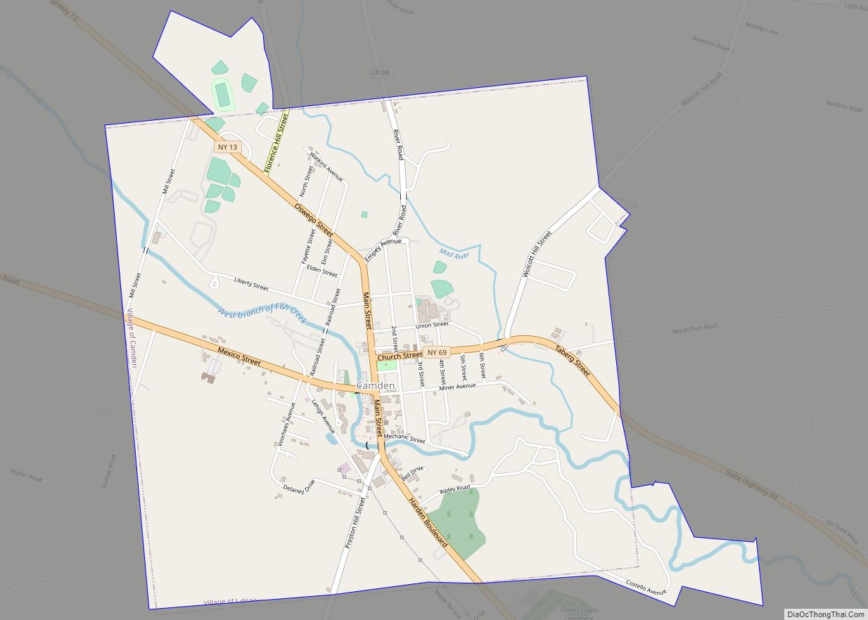
Online Interactive Map
Click on ![]() to view map in "full screen" mode.
to view map in "full screen" mode.
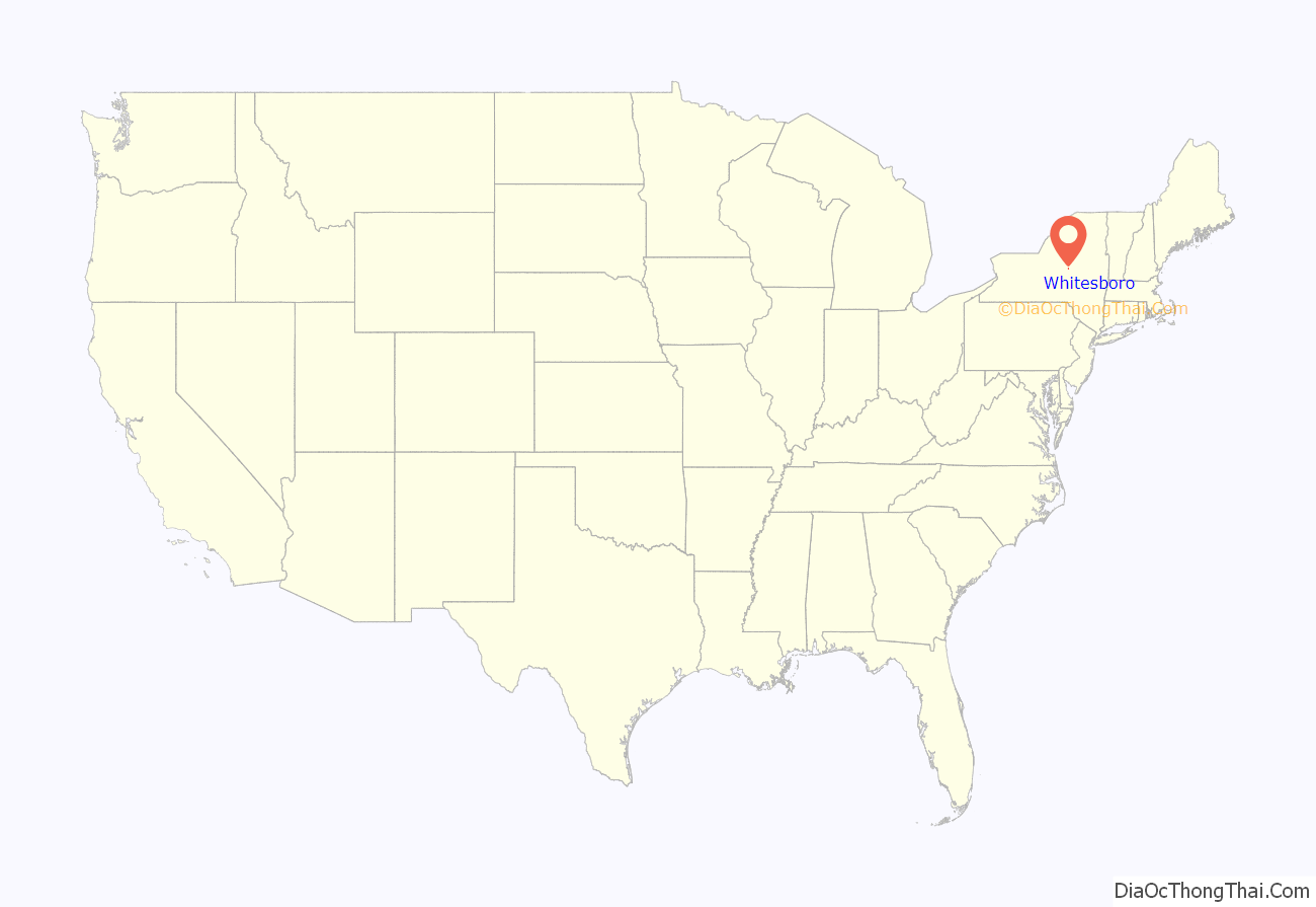
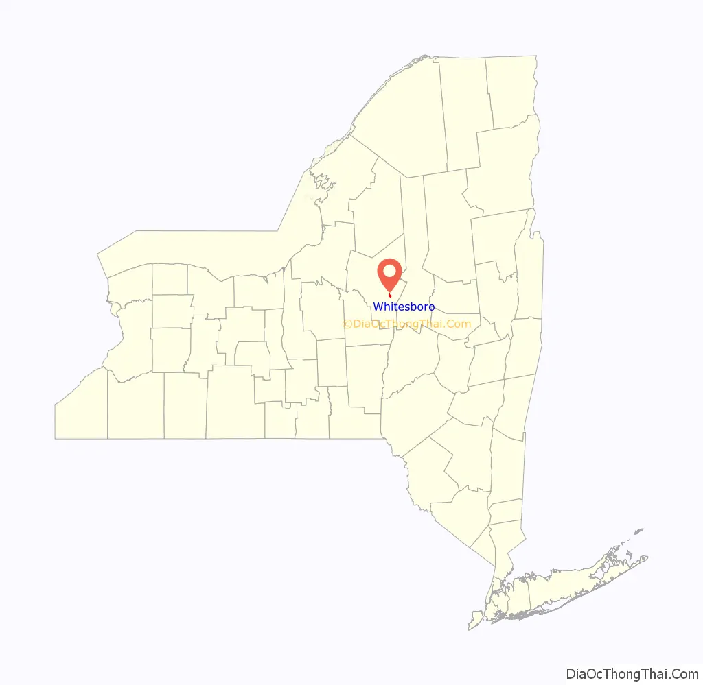
Whitesboro location map. Where is Whitesboro village?
History
The village began to be settled in 1784, and was incorporated in 1813. An 1851 list gave the name Che-ga-quat-ka for Whitesboro in a language of the Iroquois people.
The abolitionist Oneida Institute was located in Whitesboro from 1827 to 1843.
The older part of the village was bordered by the Erie Canal and the village’s Main Street. When the canal was filled in the first half of the 20th century, Oriskany Boulevard was built over the filled-in canal. The streets that connect the two roads form the oldest part of the village.
The Whitestown Town Hall was listed on the National Register of Historic Places in 1973. It currently serves as the village courthouse, while offices for the Town of Whitestown are housed in newer buildings outside of Whitesboro.
Village seal controversy
The Whitesboro seal, originating in the early 1900s, displays founder Hugh White wrestling an Oneida Native American. The seal has been controversial because it has been interpreted as a settler choking the Native American; city officials contend it depicts a friendly wrestling match that White won, gaining the respect of the Oneida. The 1970-2017 version of the seal was created after a lawsuit by a Native American group: the version used before the suit showed the settler’s hands on the Native American’s neck instead of his shoulders. In 1999, Mayor John Malecki suggested a contest for a new seal, but received no submissions.
The seal received attention in 2015 as part of national discussion about display of the Confederate flag. In January 2016, the town cooperated with Comedy Central’s The Daily Show to hold a non-binding vote for a new village seal. Many of the alternative seals were humorous, including one depicting the two men as luchadores and another depicting an arm wrestling contest. Village residents voted 157 to 55 to keep the seal as-is. Afterwards, Mayor Patrick O’Connor was criticized for not disclosing Comedy Central’s involvement. The Daily Show’s January 21 show covered the vote and the controversy around the seal. At the end of the segment, correspondent Jessica Williams announced that the mayor told her that the town would change the seal. This was confirmed by a joint press release from Whitesboro and the Oneida Indian Nation the next day.
An updated seal was adopted in the summer of 2017. The new seal was created by a communication design student at PrattMWP in Utica, under direction of a professor there. While the new seal depicts the same scene as the previous seal, it moves White’s hands down to the Oneida chief’s upper arms instead of near his neck, and neither man appears to be dominating the other. Additionally, both men were given more realistic skin tones, and their attire was corrected for historical accuracy.
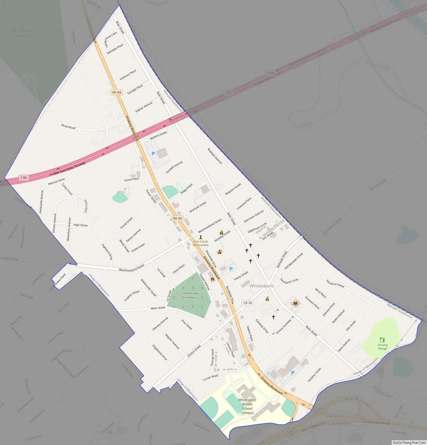
Whitesboro Road Map
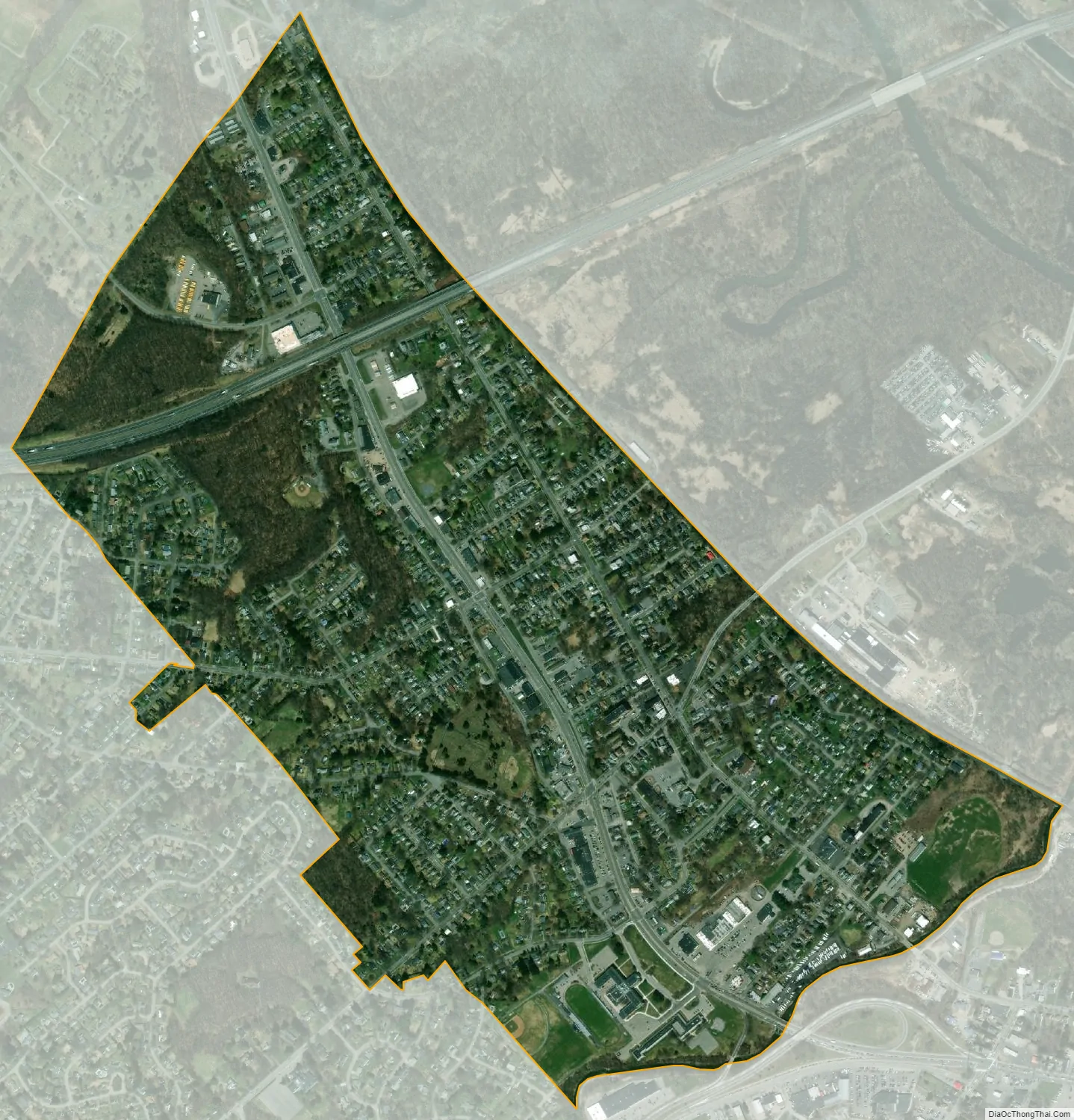
Whitesboro city Satellite Map
Geography
Whitesboro is located at 43°7′N 75°18′W / 43.117°N 75.300°W / 43.117; -75.300 (43.124, -75.296). According to the United States Census Bureau, the village has a total area of 1.1 square miles (2.8 km), all land.
The Sauquoit Creek forms the boundary with Yorkville. Areas of Whitesboro near the creek suffer from periodic flooding.
See also
Map of New York State and its subdivision:- Albany
- Allegany
- Bronx
- Broome
- Cattaraugus
- Cayuga
- Chautauqua
- Chemung
- Chenango
- Clinton
- Columbia
- Cortland
- Delaware
- Dutchess
- Erie
- Essex
- Franklin
- Fulton
- Genesee
- Greene
- Hamilton
- Herkimer
- Jefferson
- Kings
- Lake Ontario
- Lewis
- Livingston
- Madison
- Monroe
- Montgomery
- Nassau
- New York
- Niagara
- Oneida
- Onondaga
- Ontario
- Orange
- Orleans
- Oswego
- Otsego
- Putnam
- Queens
- Rensselaer
- Richmond
- Rockland
- Saint Lawrence
- Saratoga
- Schenectady
- Schoharie
- Schuyler
- Seneca
- Steuben
- Suffolk
- Sullivan
- Tioga
- Tompkins
- Ulster
- Warren
- Washington
- Wayne
- Westchester
- Wyoming
- Yates
- Alabama
- Alaska
- Arizona
- Arkansas
- California
- Colorado
- Connecticut
- Delaware
- District of Columbia
- Florida
- Georgia
- Hawaii
- Idaho
- Illinois
- Indiana
- Iowa
- Kansas
- Kentucky
- Louisiana
- Maine
- Maryland
- Massachusetts
- Michigan
- Minnesota
- Mississippi
- Missouri
- Montana
- Nebraska
- Nevada
- New Hampshire
- New Jersey
- New Mexico
- New York
- North Carolina
- North Dakota
- Ohio
- Oklahoma
- Oregon
- Pennsylvania
- Rhode Island
- South Carolina
- South Dakota
- Tennessee
- Texas
- Utah
- Vermont
- Virginia
- Washington
- West Virginia
- Wisconsin
- Wyoming