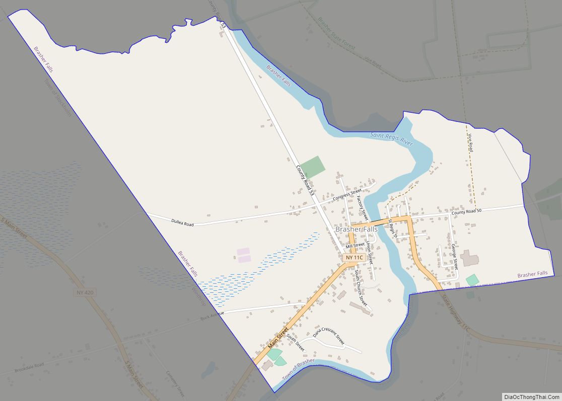
Winthrop is a hamlet and census-designated place (CDP) in the town of Stockholm in St. Lawrence County, New York, United States. As of the 2010 census, it had a population of 510.
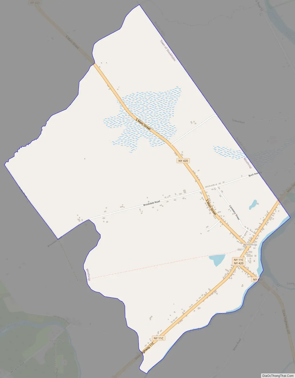
The community is in northeastern St. Lawrence County, in the northeastern part of the town of Stockholm. It is bordered to the northeast by the community of Brasher Falls in the town of Brasher. The St. Regis River, a tributary of the St. Lawrence River, forms the southeastern border.
New York State Route 11C passes through Winthrop, leading southwest 3 miles (5 km) to U.S. Route 11 at Stockholm Center, and looping northeast, east, and south 8 miles (13 km) to rejoin Route 11 at Cotey Corners in the town of Lawrence. The village of Potsdam is 13 miles (21 km) southwest of Winthrop. State Route 420 crosses NY 11C in the center of Winthrop; it leads north-northwest 11 miles (18 km) to Massena and south 1.5 miles (2.4 km) to US-11.
| Name: | Winthrop CDP |
|---|---|
| LSAD Code: | 57 |
| LSAD Description: | CDP (suffix) |
| State: | New York |
| County: | St. Lawrence County |
| Elevation: | 338 ft (103 m) |
| Total Area: | 2.80 sq mi (7.25 km²) |
| Land Area: | 2.78 sq mi (7.19 km²) |
| Water Area: | 0.02 sq mi (0.06 km²) |
| Total Population: | 489 |
| Population Density: | 176.09/sq mi (68.00/km²) |
| ZIP code: | 13697#&13613 (Brasher Falls) |
| Area code: | 315/680 |
| FIPS code: | 3682612 |
| GNISfeature ID: | 2584303 |
Online Interactive Map
Click on ![]() to view map in "full screen" mode.
to view map in "full screen" mode.
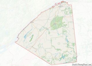
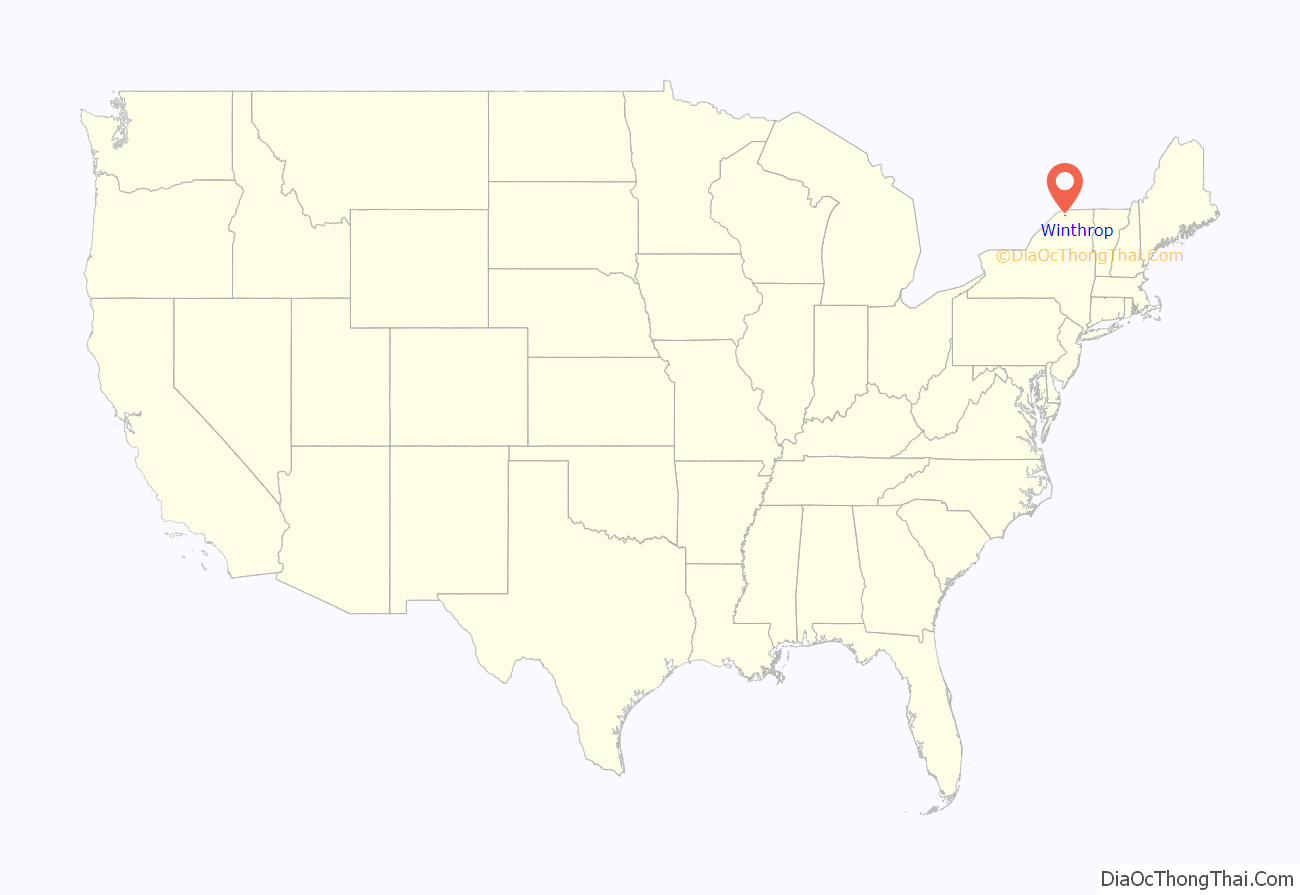
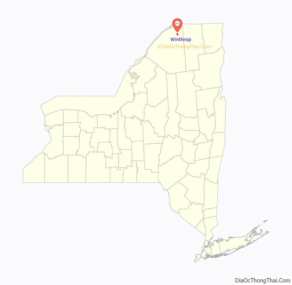
Winthrop location map. Where is Winthrop CDP?
Winthrop Road Map
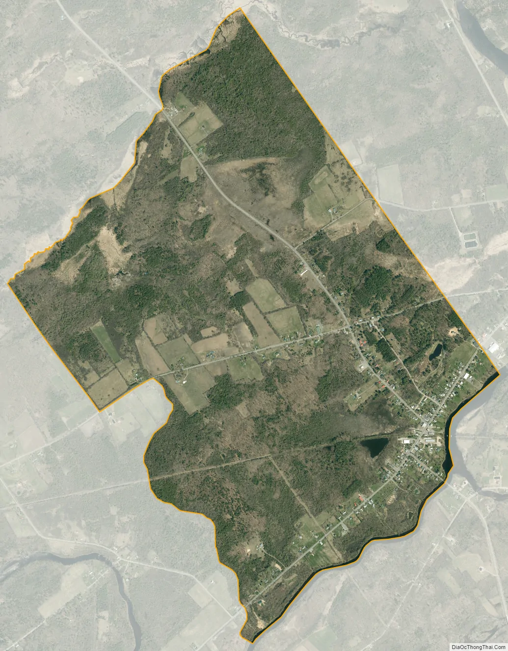
Winthrop city Satellite Map
See also
Map of New York State and its subdivision:- Albany
- Allegany
- Bronx
- Broome
- Cattaraugus
- Cayuga
- Chautauqua
- Chemung
- Chenango
- Clinton
- Columbia
- Cortland
- Delaware
- Dutchess
- Erie
- Essex
- Franklin
- Fulton
- Genesee
- Greene
- Hamilton
- Herkimer
- Jefferson
- Kings
- Lake Ontario
- Lewis
- Livingston
- Madison
- Monroe
- Montgomery
- Nassau
- New York
- Niagara
- Oneida
- Onondaga
- Ontario
- Orange
- Orleans
- Oswego
- Otsego
- Putnam
- Queens
- Rensselaer
- Richmond
- Rockland
- Saint Lawrence
- Saratoga
- Schenectady
- Schoharie
- Schuyler
- Seneca
- Steuben
- Suffolk
- Sullivan
- Tioga
- Tompkins
- Ulster
- Warren
- Washington
- Wayne
- Westchester
- Wyoming
- Yates
- Alabama
- Alaska
- Arizona
- Arkansas
- California
- Colorado
- Connecticut
- Delaware
- District of Columbia
- Florida
- Georgia
- Hawaii
- Idaho
- Illinois
- Indiana
- Iowa
- Kansas
- Kentucky
- Louisiana
- Maine
- Maryland
- Massachusetts
- Michigan
- Minnesota
- Mississippi
- Missouri
- Montana
- Nebraska
- Nevada
- New Hampshire
- New Jersey
- New Mexico
- New York
- North Carolina
- North Dakota
- Ohio
- Oklahoma
- Oregon
- Pennsylvania
- Rhode Island
- South Carolina
- South Dakota
- Tennessee
- Texas
- Utah
- Vermont
- Virginia
- Washington
- West Virginia
- Wisconsin
- Wyoming