Bexley is a suburban city in Franklin County, Ohio, United States. The population was 13,928 at the 2020 census. Founded as a village, the city of Bexley is a suburb of Columbus, the Ohio state capital, situated on the banks of Alum Creek next to Driving Park and Wolfe Park, just east of the Franklin Park Conservatory. It is horizontally bisected by the National Road (Main Street), serving as a reminder of Bexley’s origins as a merger between the prestigious Bullitt Park neighborhood to the north, and the Lutheran college community of Pleasant Ridge to the south.
The historic suburb is perhaps best known, however, for its large houses and estates, located primarily in Bullitt Park. The most famous of these include the Jeffrey Park Mansion (a.k.a. “Kelveden”), the home of the president of Ohio State University, and the Ohio Governor’s Mansion. Located in northern Bexley, the Governor’s Mansion—originally built as a private residence in 1925 and given to the state in 1955—has served as the official residence of Ohio governors since 1957, though Governor James A. Rhodes (in his final two terms in office) and Governor John Kasich, both of whom were residents of central Ohio, chose to remain in their private homes while in office.
Along with the municipalities of Minerva Park, Whitehall, Worthington, Upper Arlington, and Valleyview, Bexley is a geographic enclave of Columbus.
| Name: | Bexley city |
|---|---|
| LSAD Code: | 25 |
| LSAD Description: | city (suffix) |
| State: | Ohio |
| County: | Franklin County |
| Elevation: | 794 ft (242 m) |
| Total Area: | 2.44 sq mi (6.32 km²) |
| Land Area: | 2.42 sq mi (6.27 km²) |
| Water Area: | 0.02 sq mi (0.05 km²) |
| Total Population: | 13,928 |
| Population Density: | 5,752.99/sq mi (2,221.17/km²) |
| ZIP code: | 43209 |
| Area code: | 614 and 380 |
| FIPS code: | 3906278 |
| Website: | bexley.org |
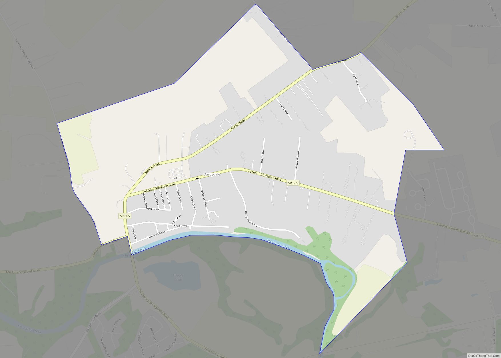
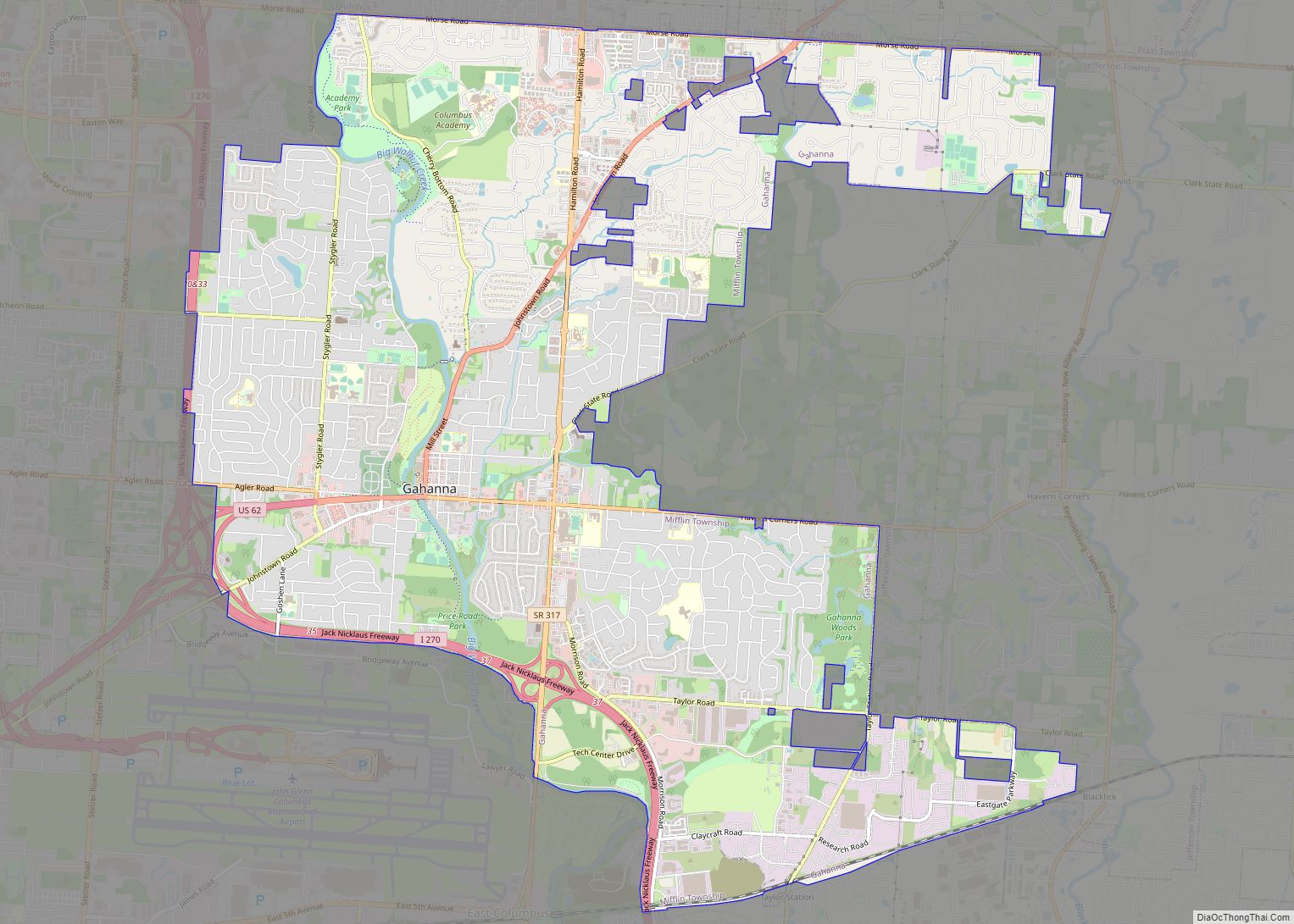
Online Interactive Map
Click on ![]() to view map in "full screen" mode.
to view map in "full screen" mode.
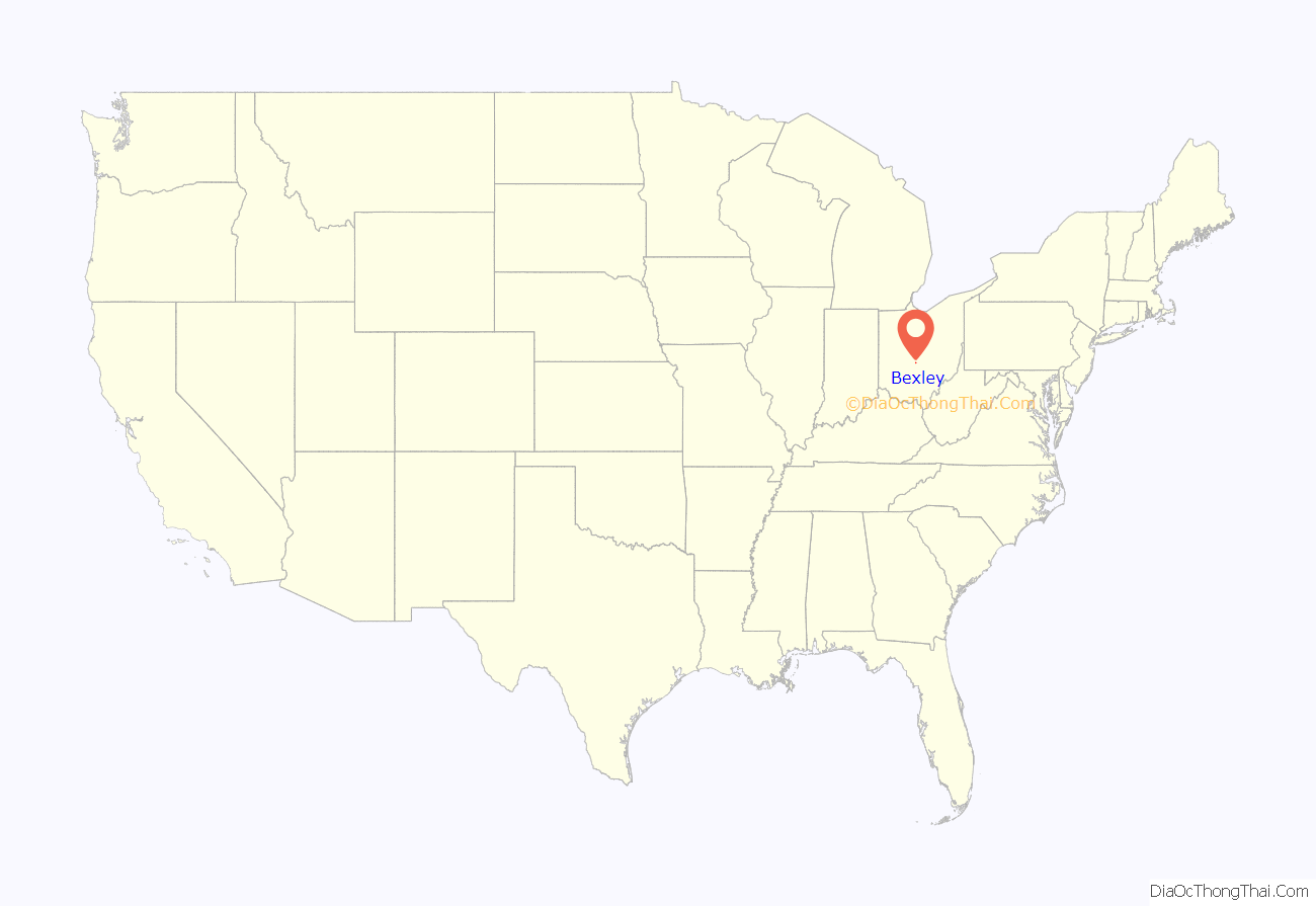
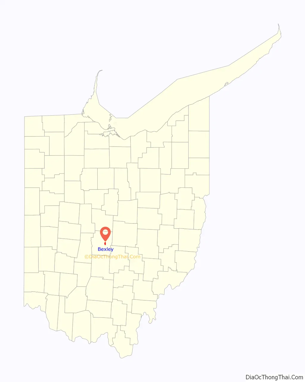
Bexley location map. Where is Bexley city?
History
Bexley was named at the suggestion of an early resident, Col. Lincoln Kilbourne, in honor of his family’s roots in Bexley, in London, England. The village of Bexley was incorporated in 1908 when prominent citizens of Bullitt Park to the north along Alum Creek, including industrialist and 35th Mayor of Columbus Robert H. Jeffrey, agreed to merge with the Lutheran community of Pleasant Ridge to the south near the Evangelical Lutheran Joint Synod of Ohio college, Capital University (established 1850) and the Evangelical Lutheran Theological Seminary (now Trinity Lutheran Seminary) founded 1830. Both educational institutions today are affiliated with the major denomination of the Evangelical Lutheran Church in America, with two-thirds of America’s Lutherans.
Bullitt Park had been founded in 1889, when Logan M. Bullitt of Philadelphia submitted his first plat for the area. Wealthy citizens of Columbus continued to build urban townhouses and country homes to the east along Broad Street and Town Road (now Bryden Road), extending to Franklin Park. By the 1890s, several large homes took root across Alum Creek in the Bullitt Park area, one of which became the original campus of the Columbus School for Girls, still an exclusive girls’ private school in Bexley.
The onset of the Spanish–American War was also instrumental in Bexley’s history. In 1898, Ohio Governor Asa Bushnell chose a cluster of unsold lots around Broad and Drexel in Bullitt Park as an assembly site for those state volunteers headed for war. Camp Bushnell, as it was known, was home for three weeks to 8,000 Ohio recruits headed for Cuba. This led to the development of water and sewer lines for the soldiers, thus preparing the area for later real estate development in coming decades.
By 1908, the residents of Bullitt Park, north of Main Street, and Pleasant Ridge, south of Main Street, decided to merge their neighborhoods and incorporated as the Village of Bexley. The village reached the 5,000 population mark required by the state of Ohio to become a city in 1928 (still a requirement) and, on New Year’s Day 1932, Bexley officially became a city. William A. Schneider was elected the first mayor of the City of Bexley in 1935. Mayor Schneider built the first city hall, and led Bexley through a long and profitable growth period. He remained in office for 32 years before retiring.
In March 2013, the city of Bexley was accredited as an arboretum by the Morton Register of Arboreta, making it the first city in the United States to successfully obtain arboretum accreditation.
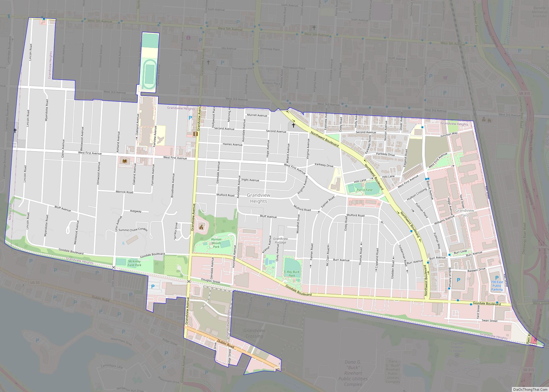
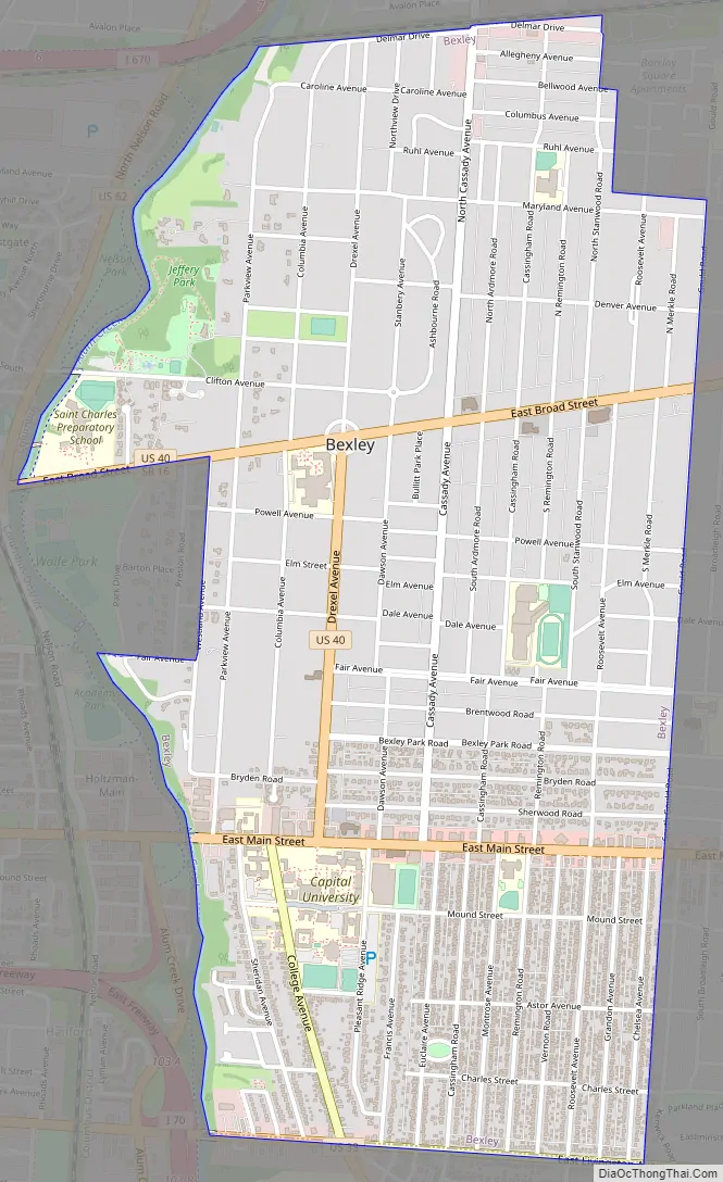
Bexley Road Map
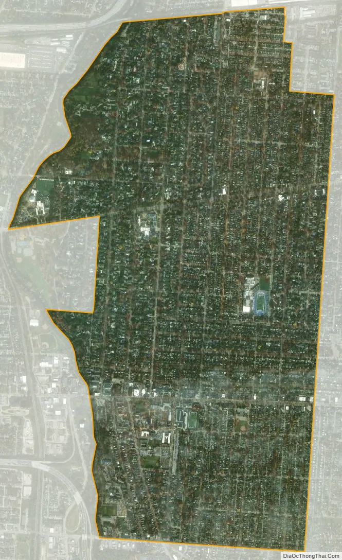
Bexley city Satellite Map
Geography
According to the 2010 census, the city has a total area of 2.45 square miles (6.3 km), of which 2.43 square miles (6.3 km) (or 99.18%) is land and 0.02 square miles (0.052 km) (or 0.82%) is water.
See also
Map of Ohio State and its subdivision:- Adams
- Allen
- Ashland
- Ashtabula
- Athens
- Auglaize
- Belmont
- Brown
- Butler
- Carroll
- Champaign
- Clark
- Clermont
- Clinton
- Columbiana
- Coshocton
- Crawford
- Cuyahoga
- Darke
- Defiance
- Delaware
- Erie
- Fairfield
- Fayette
- Franklin
- Fulton
- Gallia
- Geauga
- Greene
- Guernsey
- Hamilton
- Hancock
- Hardin
- Harrison
- Henry
- Highland
- Hocking
- Holmes
- Huron
- Jackson
- Jefferson
- Knox
- Lake
- Lake Erie
- Lawrence
- Licking
- Logan
- Lorain
- Lucas
- Madison
- Mahoning
- Marion
- Medina
- Meigs
- Mercer
- Miami
- Monroe
- Montgomery
- Morgan
- Morrow
- Muskingum
- Noble
- Ottawa
- Paulding
- Perry
- Pickaway
- Pike
- Portage
- Preble
- Putnam
- Richland
- Ross
- Sandusky
- Scioto
- Seneca
- Shelby
- Stark
- Summit
- Trumbull
- Tuscarawas
- Union
- Van Wert
- Vinton
- Warren
- Washington
- Wayne
- Williams
- Wood
- Wyandot
- Alabama
- Alaska
- Arizona
- Arkansas
- California
- Colorado
- Connecticut
- Delaware
- District of Columbia
- Florida
- Georgia
- Hawaii
- Idaho
- Illinois
- Indiana
- Iowa
- Kansas
- Kentucky
- Louisiana
- Maine
- Maryland
- Massachusetts
- Michigan
- Minnesota
- Mississippi
- Missouri
- Montana
- Nebraska
- Nevada
- New Hampshire
- New Jersey
- New Mexico
- New York
- North Carolina
- North Dakota
- Ohio
- Oklahoma
- Oregon
- Pennsylvania
- Rhode Island
- South Carolina
- South Dakota
- Tennessee
- Texas
- Utah
- Vermont
- Virginia
- Washington
- West Virginia
- Wisconsin
- Wyoming