South Point is a village in Lawrence County, Ohio, United States, along the Ohio River. The population was 3,836 at the 2020 census. It is part of the Huntington–Ashland metropolitan area.
The village mayor is Jeff Gaskin, who was elected in November 2015.
| Name: | South Point village |
|---|---|
| LSAD Code: | 47 |
| LSAD Description: | village (suffix) |
| State: | Ohio |
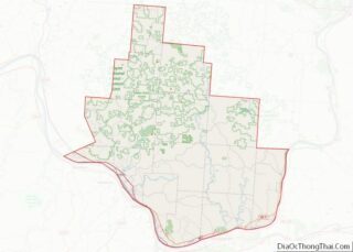
| County: | Lawrence County |
| Elevation: | 564 ft (172 m) |
| Total Area: | 3.23 sq mi (8.38 km²) |
| Land Area: | 2.94 sq mi (7.63 km²) |
| Water Area: | 0.29 sq mi (0.75 km²) |
| Total Population: | 3,836 |
| Population Density: | 1,302.55/sq mi (502.99/km²) |
| ZIP code: | 45680 |
| Area code: | 740 |
| FIPS code: | 3973670 |
| GNISfeature ID: | 1065353 |
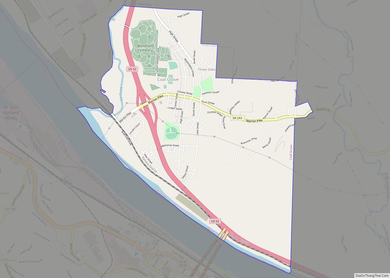
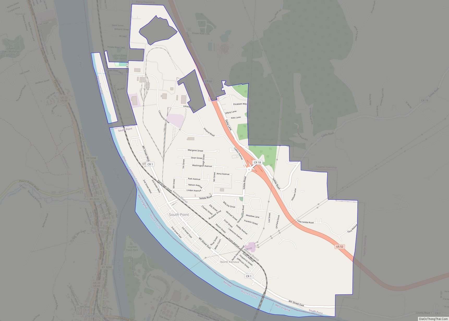
Online Interactive Map
Click on ![]() to view map in "full screen" mode.
to view map in "full screen" mode.
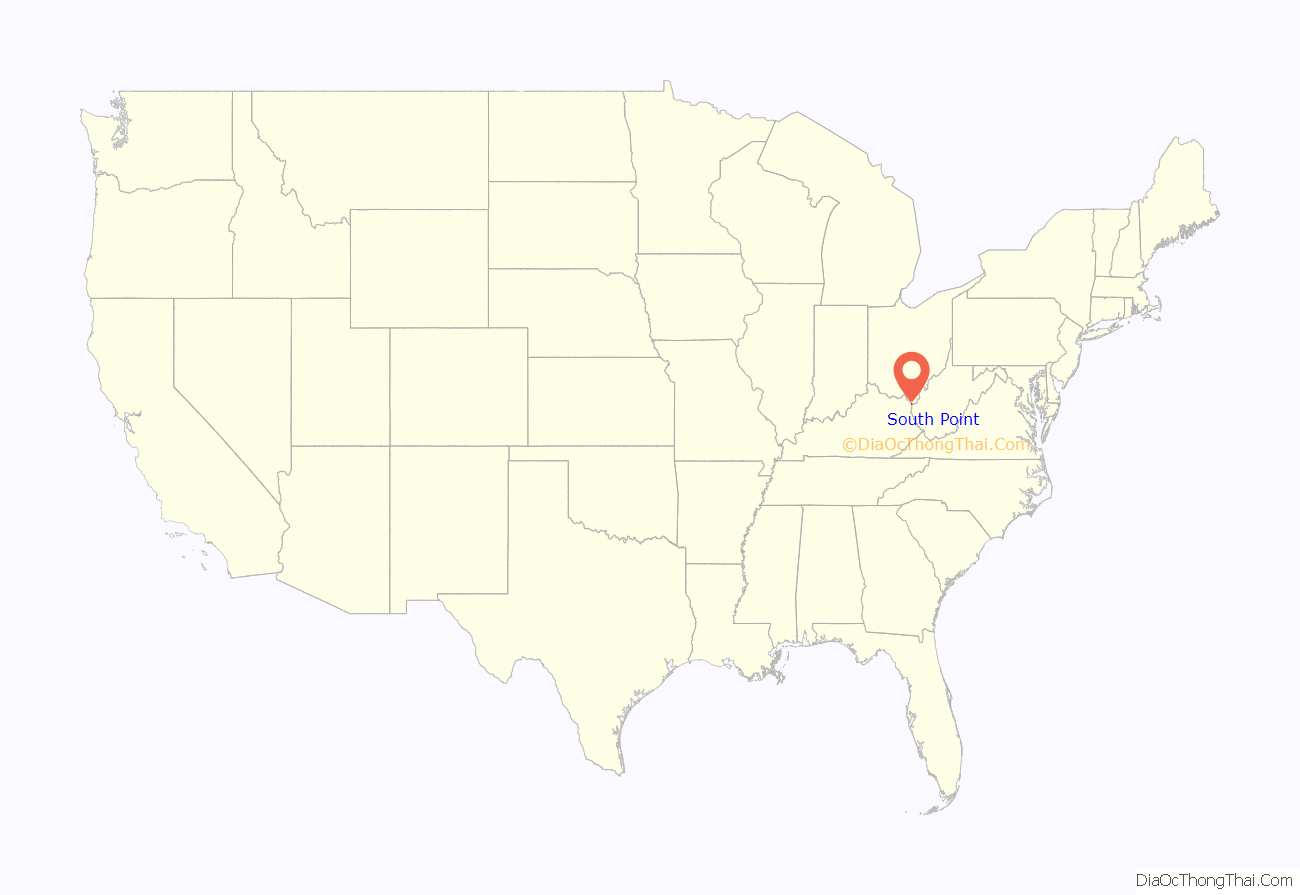
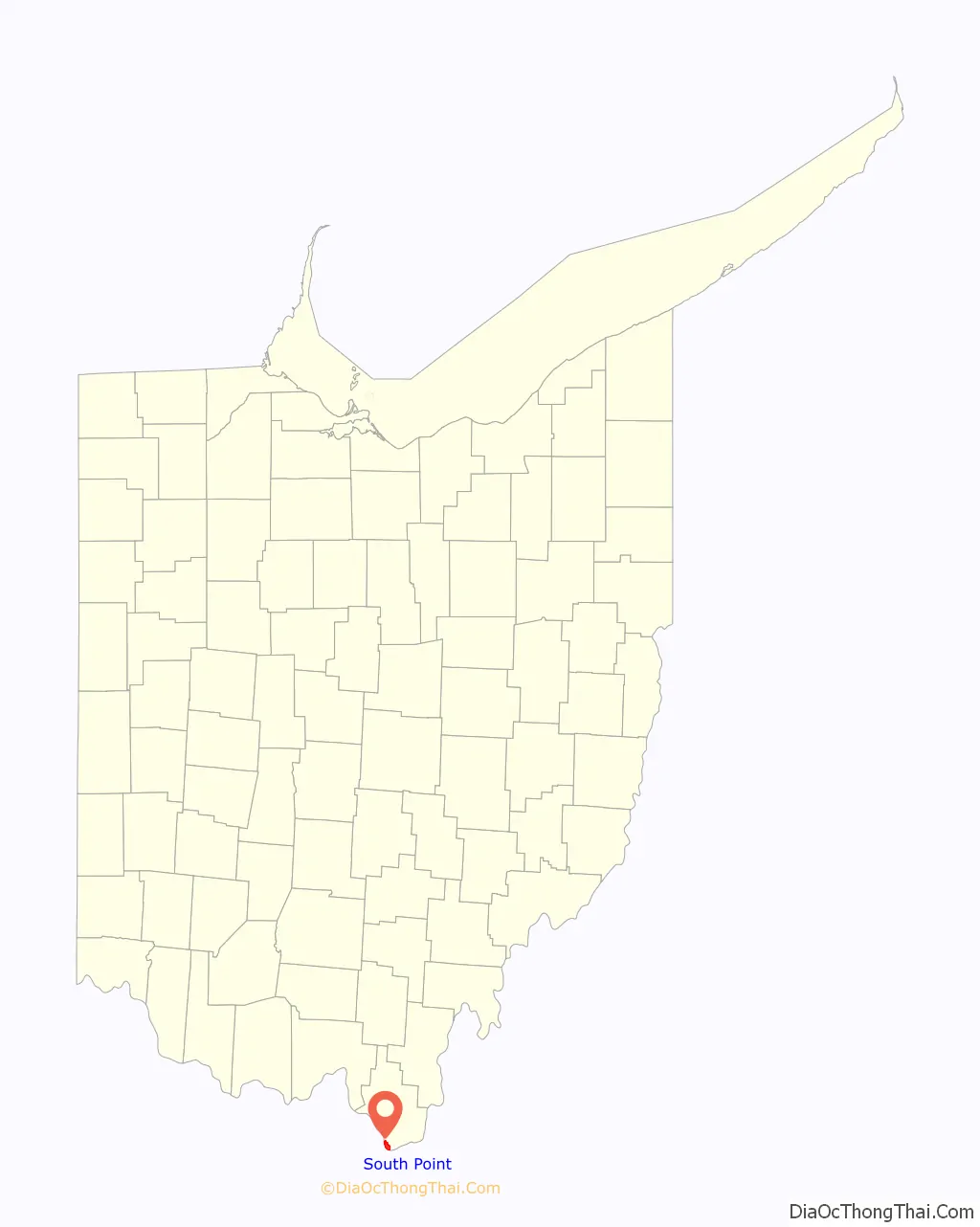
South Point location map. Where is South Point village?
History
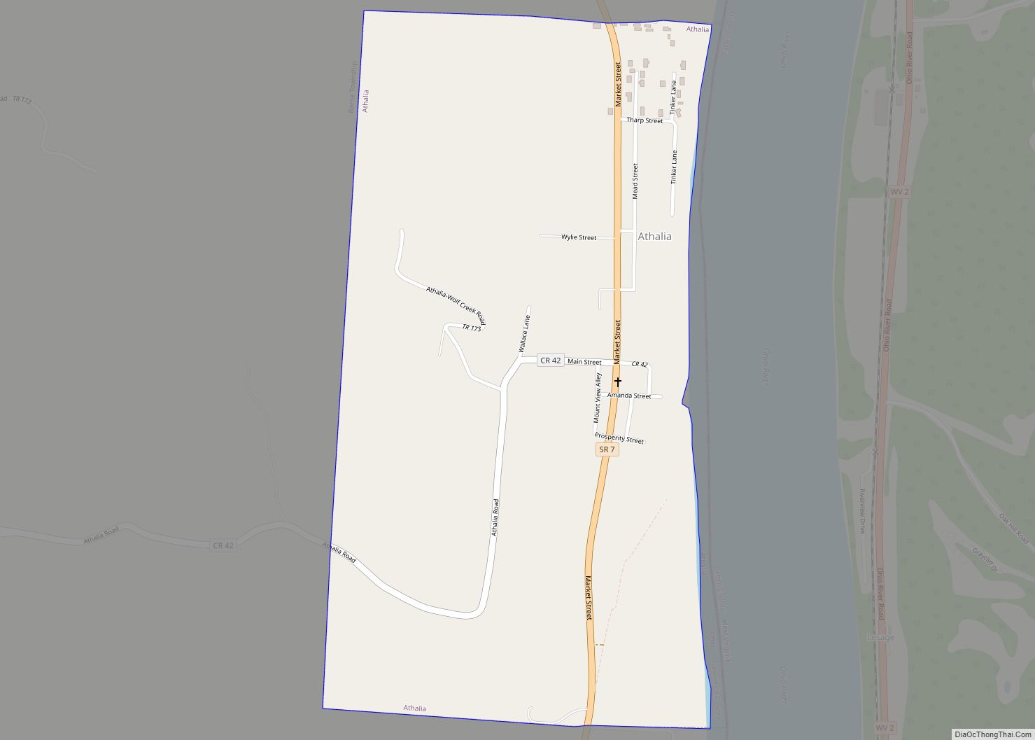
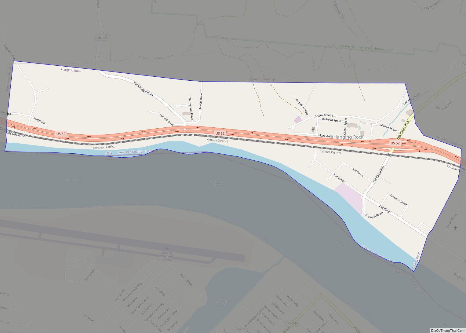
A post office called South Point has been in operation since 1855 in Fayette Township. The village was so named for the fact the southernmost point in the state is contained within its borders. Now considered to be a populated place within South Point, in 1918 the community of North Kenova was located at (38.412, -82.578), so named because it was on the opposite bank of the Ohio River from Kenova, West Virginia.
South Point Road Map

South Point city Satellite Map

Geography
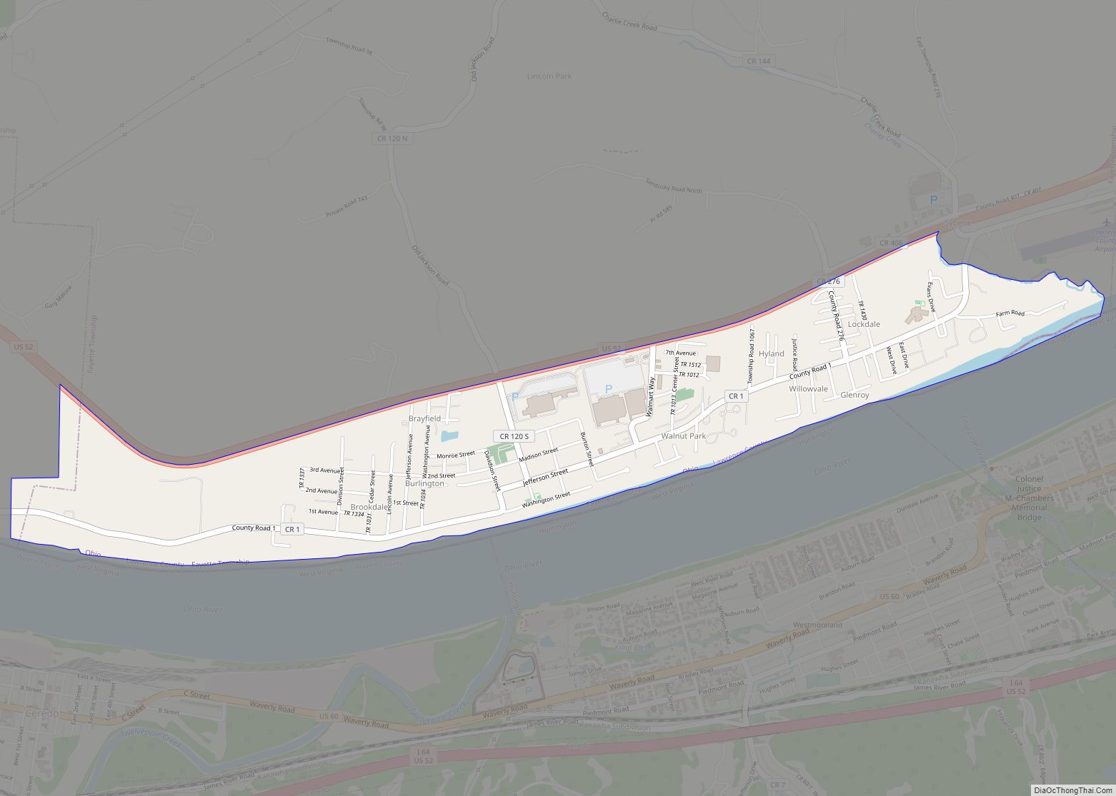
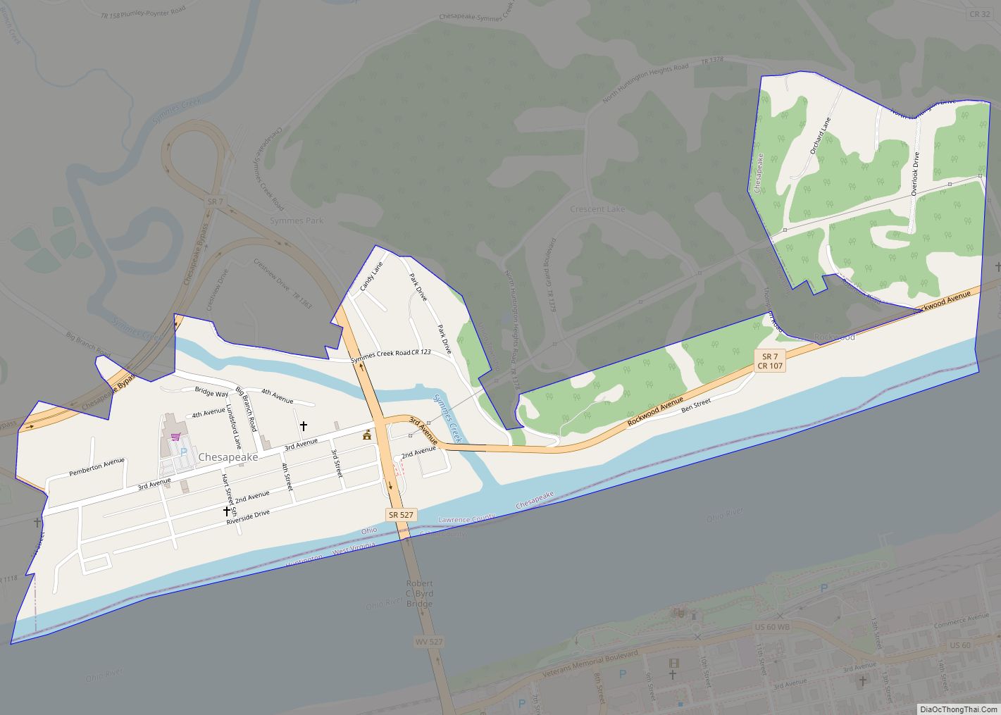
South Point is located at 38°25′9″N 82°34′50″W / 38.41917°N 82.58056°W / 38.41917; -82.58056 (38.419289, -82.580579). The village lies at the junction point of the three states of Ohio, West Virginia, and Kentucky. Not far from the village lies the southernmost point in the State of Ohio, along the Ohio River less than one mile east of the village’s southeast corner.
According to the United States Census Bureau, the village has a total area of 3.23 square miles (8.37 km), of which 2.94 square miles (7.61 km) is land and 0.29 square miles (0.75 km) is water.
Climate
See also
Map of Ohio State and its subdivision:- Adams
- Allen
- Ashland
- Ashtabula
- Athens
- Auglaize
- Belmont
- Brown
- Butler
- Carroll
- Champaign
- Clark
- Clermont
- Clinton
- Columbiana
- Coshocton
- Crawford
- Cuyahoga
- Darke
- Defiance
- Delaware
- Erie
- Fairfield
- Fayette
- Franklin
- Fulton
- Gallia
- Geauga
- Greene
- Guernsey
- Hamilton
- Hancock
- Hardin
- Harrison
- Henry
- Highland
- Hocking
- Holmes
- Huron
- Jackson
- Jefferson
- Knox
- Lake
- Lake Erie
- Lawrence
- Licking
- Logan
- Lorain
- Lucas
- Madison
- Mahoning
- Marion
- Medina
- Meigs
- Mercer
- Miami
- Monroe
- Montgomery
- Morgan
- Morrow
- Muskingum
- Noble
- Ottawa
- Paulding
- Perry
- Pickaway
- Pike
- Portage
- Preble
- Putnam
- Richland
- Ross
- Sandusky
- Scioto
- Seneca
- Shelby
- Stark
- Summit
- Trumbull
- Tuscarawas
- Union
- Van Wert
- Vinton
- Warren
- Washington
- Wayne
- Williams
- Wood
- Wyandot
- Alabama
- Alaska
- Arizona
- Arkansas
- California
- Colorado
- Connecticut
- Delaware
- District of Columbia
- Florida
- Georgia
- Hawaii
- Idaho
- Illinois
- Indiana
- Iowa
- Kansas
- Kentucky
- Louisiana
- Maine
- Maryland
- Massachusetts
- Michigan
- Minnesota
- Mississippi
- Missouri
- Montana
- Nebraska
- Nevada
- New Hampshire
- New Jersey
- New Mexico
- New York
- North Carolina
- North Dakota
- Ohio
- Oklahoma
- Oregon
- Pennsylvania
- Rhode Island
- South Carolina
- South Dakota
- Tennessee
- Texas
- Utah
- Vermont
- Virginia
- Washington
- West Virginia
- Wisconsin
- Wyoming