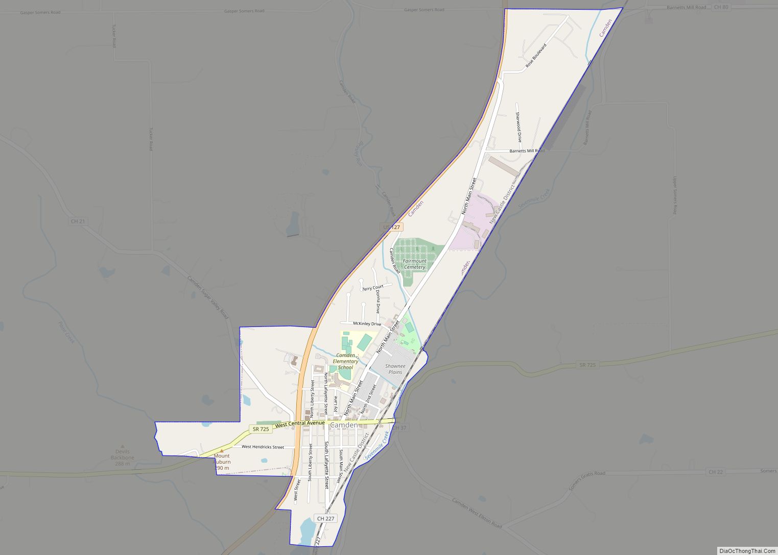
Camden is a village in Preble County, Ohio, United States. The population was 1,989 at the 2020 census.
| Name: | Camden village |
|---|---|
| LSAD Code: | 47 |
| LSAD Description: | village (suffix) |
| State: | Ohio |
| County: | Preble County |
| Elevation: | 837 ft (255 m) |
| Total Area: | 1.25 sq mi (3.23 km²) |
| Land Area: | 1.24 sq mi (3.21 km²) |
| Water Area: | 0.01 sq mi (0.02 km²) |
| Total Population: | 1,989 |
| Population Density: | 1,602.74/sq mi (618.70/km²) |
| ZIP code: | 45311 |
| Area code: | 937, 326 |
| FIPS code: | 3911024 |
| GNISfeature ID: | 1056756 |
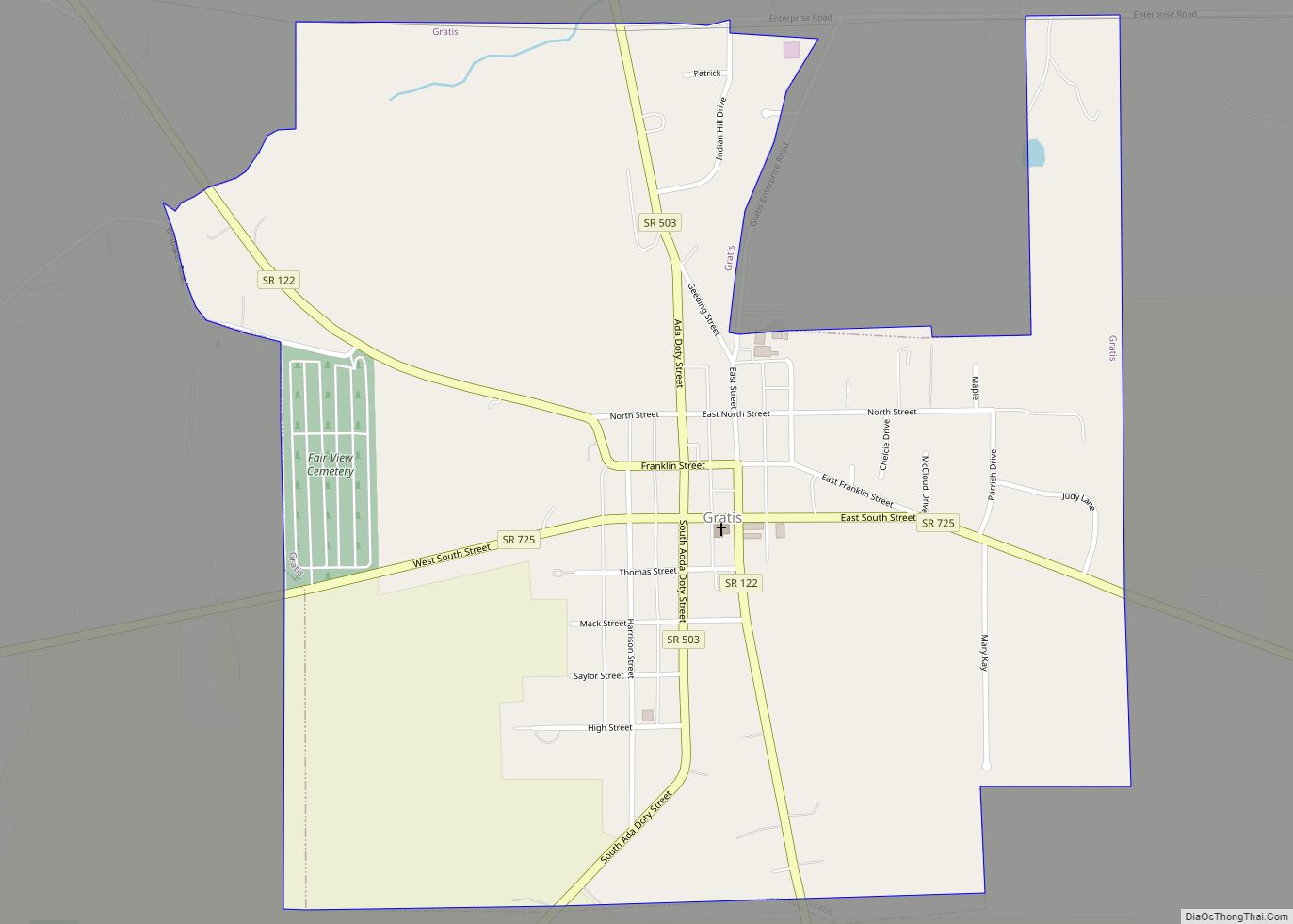
Online Interactive Map
Click on ![]() to view map in "full screen" mode.
to view map in "full screen" mode.
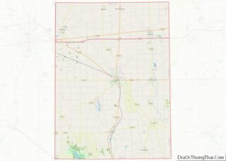
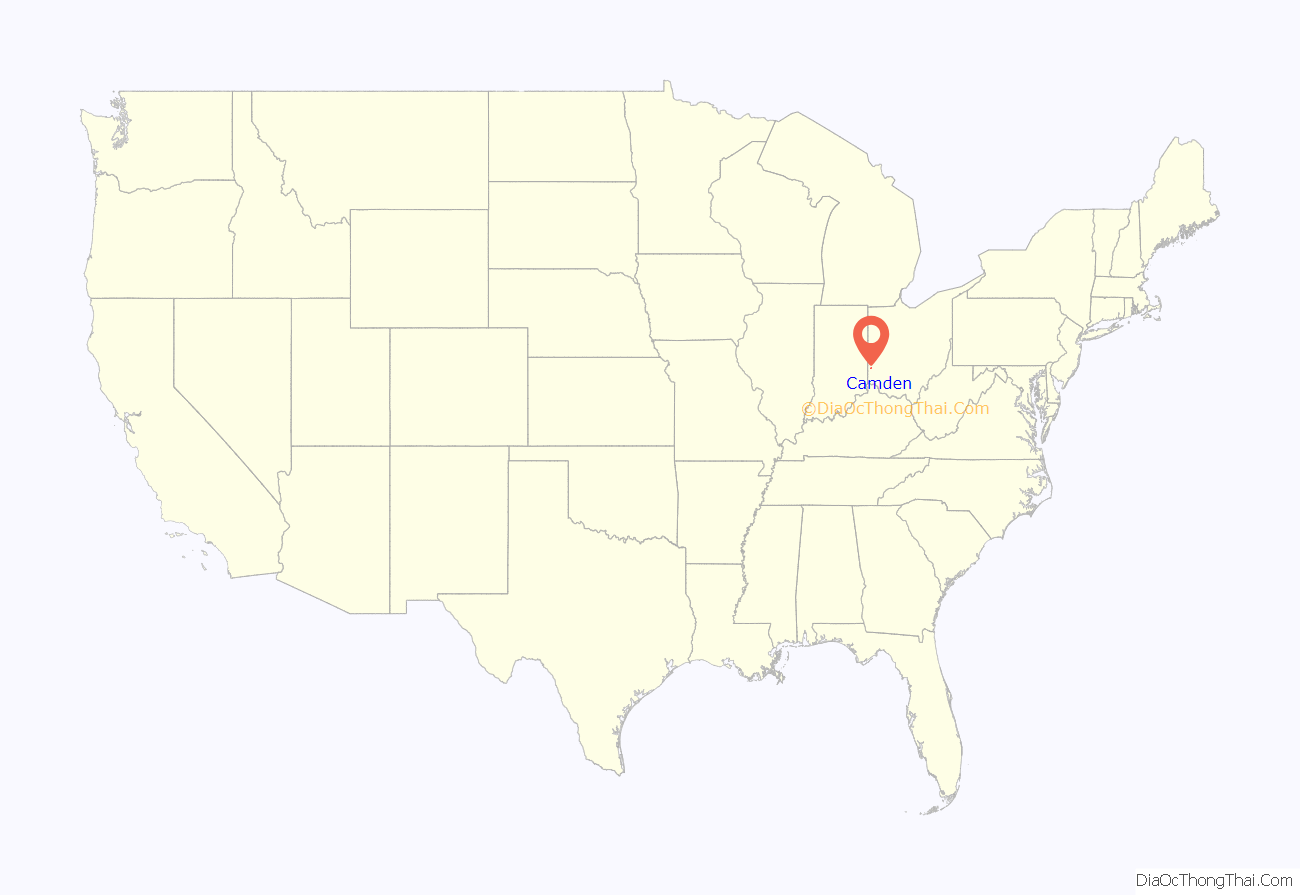
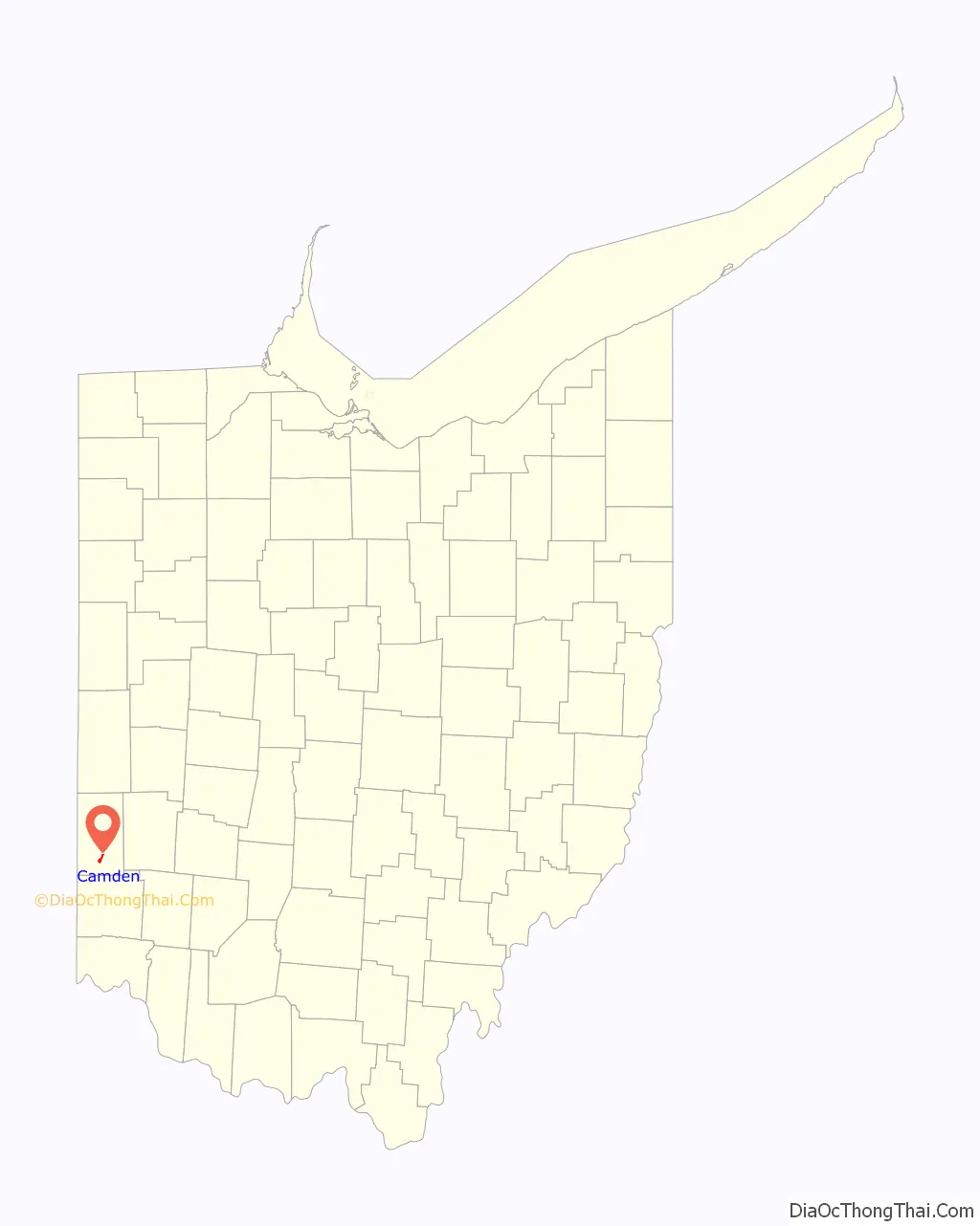
Camden location map. Where is Camden village?
History
Camden was laid out in 1818 as Dover. In 1824, the name was changed to Newcomb after State Senator George Newcomb as Dover, Ohio had already been established. This name did not catch on, and in 1835 the village was renamed to Camden after Camden, South Carolina.
Camden Road Map
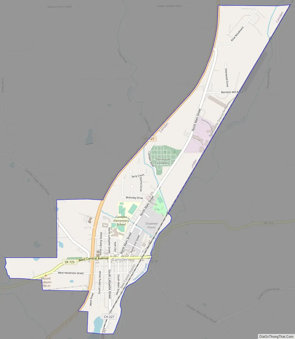
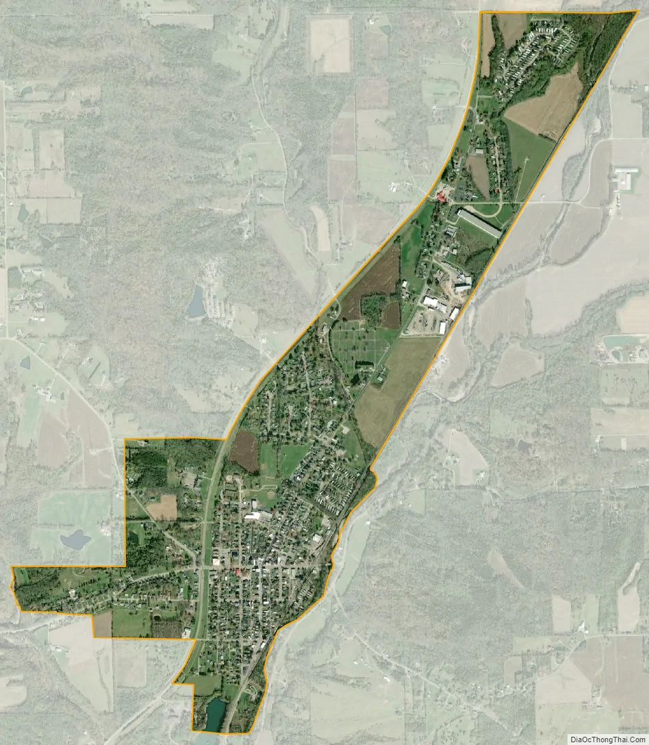
Camden city Satellite Map
Geography
Camden is located at 39°37′51″N 84°38′56″W / 39.63083°N 84.64889°W / 39.63083; -84.64889 (39.630820, -84.648774).
According to the United States Census Bureau, the village has a total area of 1.25 square miles (3.24 km), of which 1.24 square miles (3.21 km) is land and 0.01 square miles (0.03 km) is water.
See also
Map of Ohio State and its subdivision:- Adams
- Allen
- Ashland
- Ashtabula
- Athens
- Auglaize
- Belmont
- Brown
- Butler
- Carroll
- Champaign
- Clark
- Clermont
- Clinton
- Columbiana
- Coshocton
- Crawford
- Cuyahoga
- Darke
- Defiance
- Delaware
- Erie
- Fairfield
- Fayette
- Franklin
- Fulton
- Gallia
- Geauga
- Greene
- Guernsey
- Hamilton
- Hancock
- Hardin
- Harrison
- Henry
- Highland
- Hocking
- Holmes
- Huron
- Jackson
- Jefferson
- Knox
- Lake
- Lake Erie
- Lawrence
- Licking
- Logan
- Lorain
- Lucas
- Madison
- Mahoning
- Marion
- Medina
- Meigs
- Mercer
- Miami
- Monroe
- Montgomery
- Morgan
- Morrow
- Muskingum
- Noble
- Ottawa
- Paulding
- Perry
- Pickaway
- Pike
- Portage
- Preble
- Putnam
- Richland
- Ross
- Sandusky
- Scioto
- Seneca
- Shelby
- Stark
- Summit
- Trumbull
- Tuscarawas
- Union
- Van Wert
- Vinton
- Warren
- Washington
- Wayne
- Williams
- Wood
- Wyandot
- Alabama
- Alaska
- Arizona
- Arkansas
- California
- Colorado
- Connecticut
- Delaware
- District of Columbia
- Florida
- Georgia
- Hawaii
- Idaho
- Illinois
- Indiana
- Iowa
- Kansas
- Kentucky
- Louisiana
- Maine
- Maryland
- Massachusetts
- Michigan
- Minnesota
- Mississippi
- Missouri
- Montana
- Nebraska
- Nevada
- New Hampshire
- New Jersey
- New Mexico
- New York
- North Carolina
- North Dakota
- Ohio
- Oklahoma
- Oregon
- Pennsylvania
- Rhode Island
- South Carolina
- South Dakota
- Tennessee
- Texas
- Utah
- Vermont
- Virginia
- Washington
- West Virginia
- Wisconsin
- Wyoming