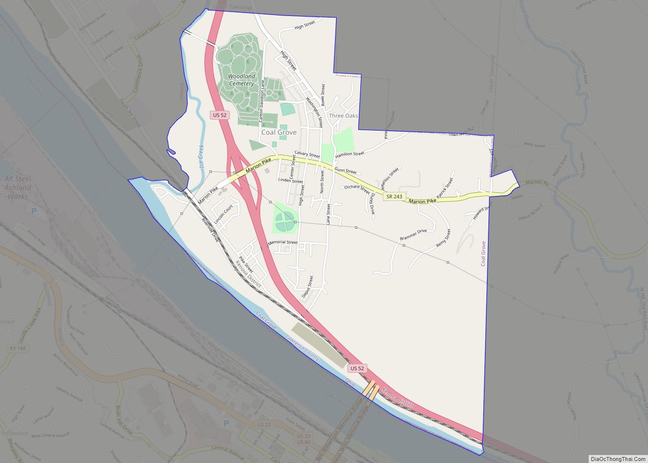
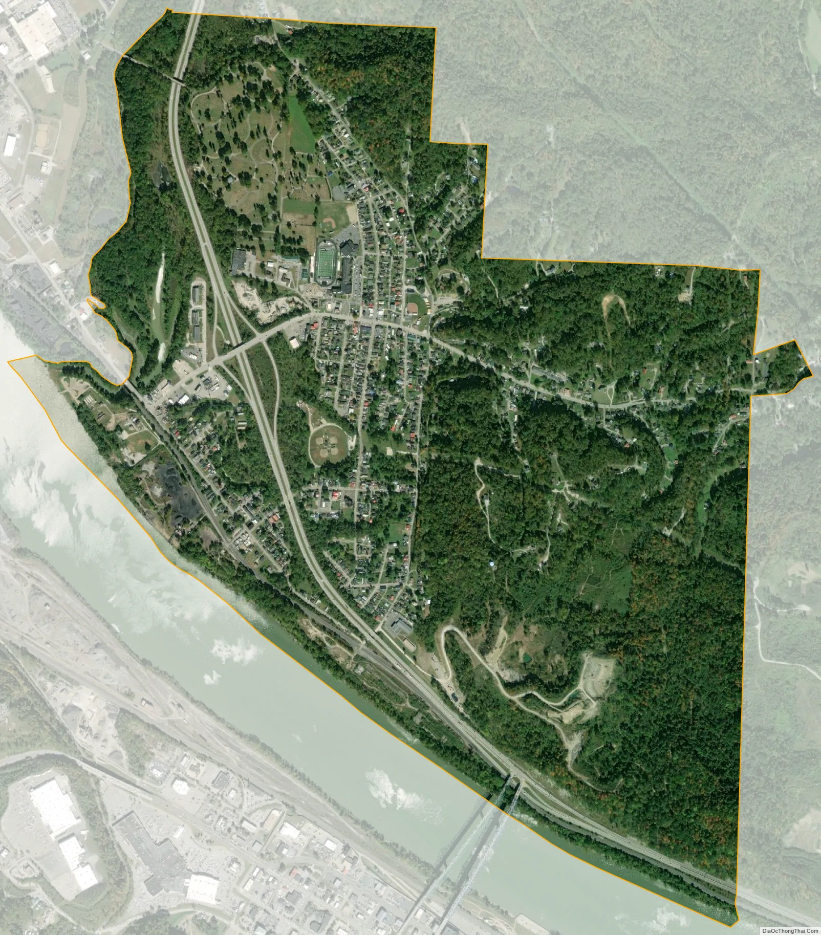
Coal Grove is a village in Lawrence County, Ohio, United States, along the Ohio River. The population was 2,165 at the 2010 census. It borders the city of Ironton and lies across the Ohio River from Ashland, Kentucky. It is linked to Ashland by the Ben Williamson Memorial Bridge and Simeon Willis Memorial Bridge.
Coal Grove is a part of the Huntington-Ashland, WV-KY-OH, Metropolitan Statistical Area (MSA). As of the 2000 census, the MSA had a population of 288,649.
| Name: | Coal Grove village |
|---|---|
| LSAD Code: | 47 |
| LSAD Description: | village (suffix) |
| State: | Ohio |
| County: | Lawrence County |
| Elevation: | 577 ft (176 m) |
| Total Area: | 2.04 sq mi (5.28 km²) |
| Land Area: | 1.91 sq mi (4.94 km²) |
| Water Area: | 0.13 sq mi (0.35 km²) |
| Total Population: | 1,889 |
| Population Density: | 991.08/sq mi (382.59/km²) |
| ZIP code: | 45638 |
| Area code: | 740 |
| FIPS code: | 3916378 |
| GNISfeature ID: | 1075593 |
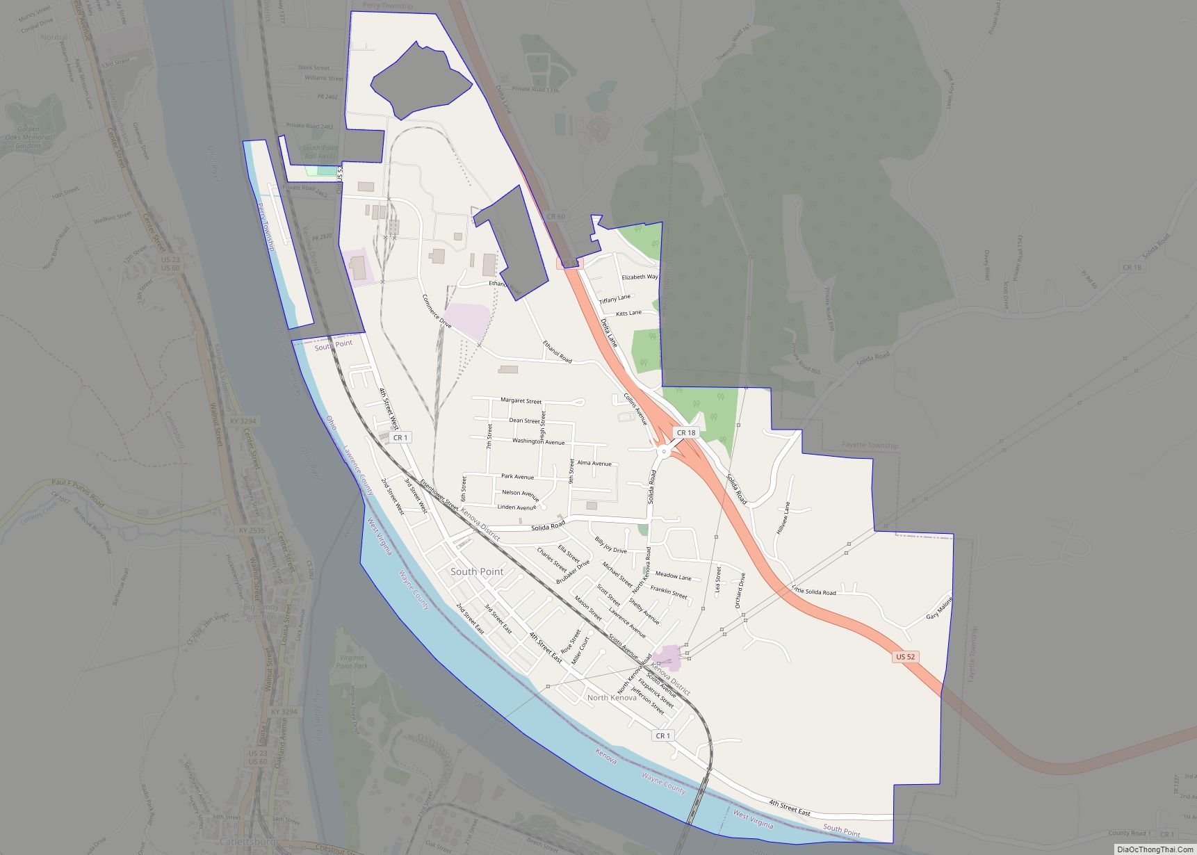
Online Interactive Map
Click on ![]() to view map in "full screen" mode.
to view map in "full screen" mode.
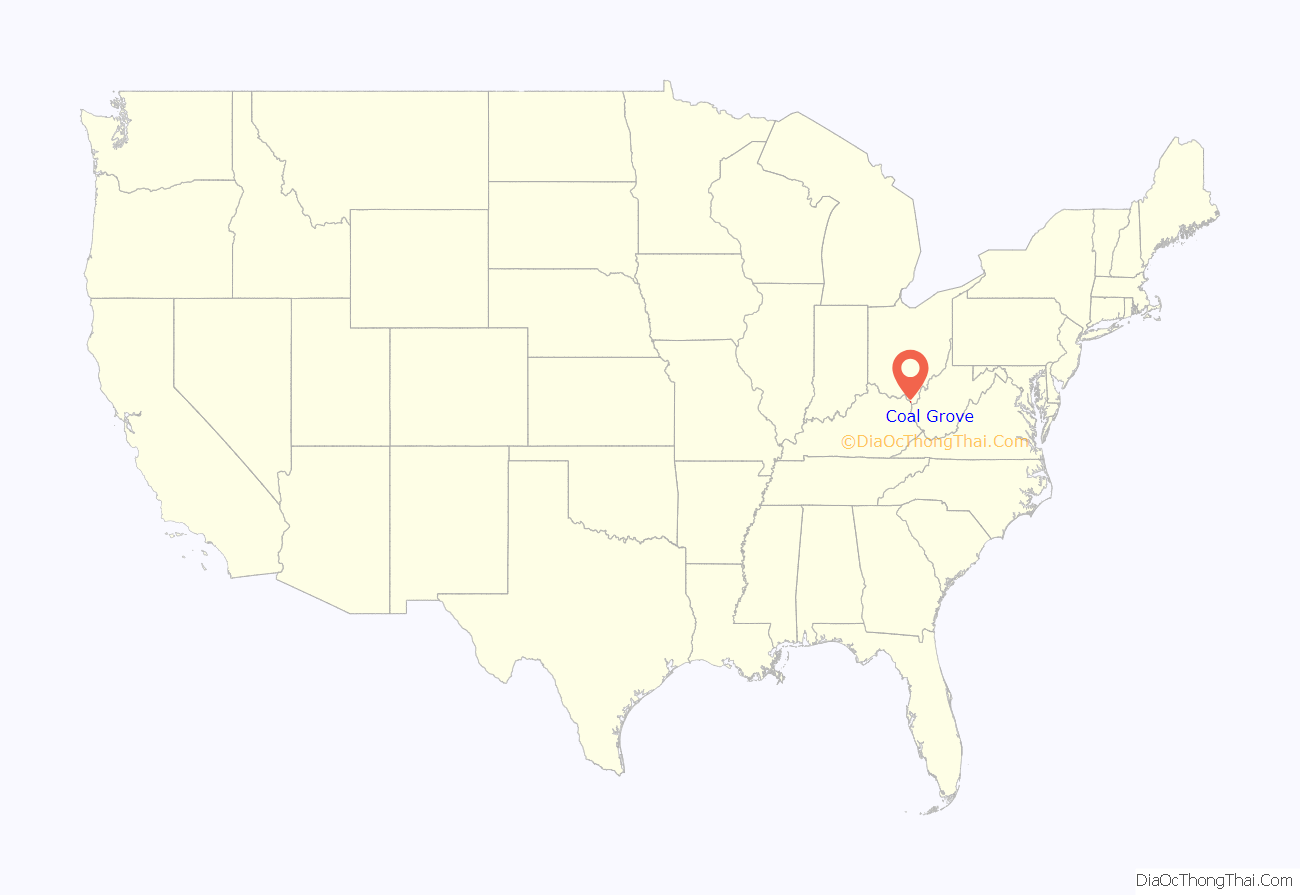
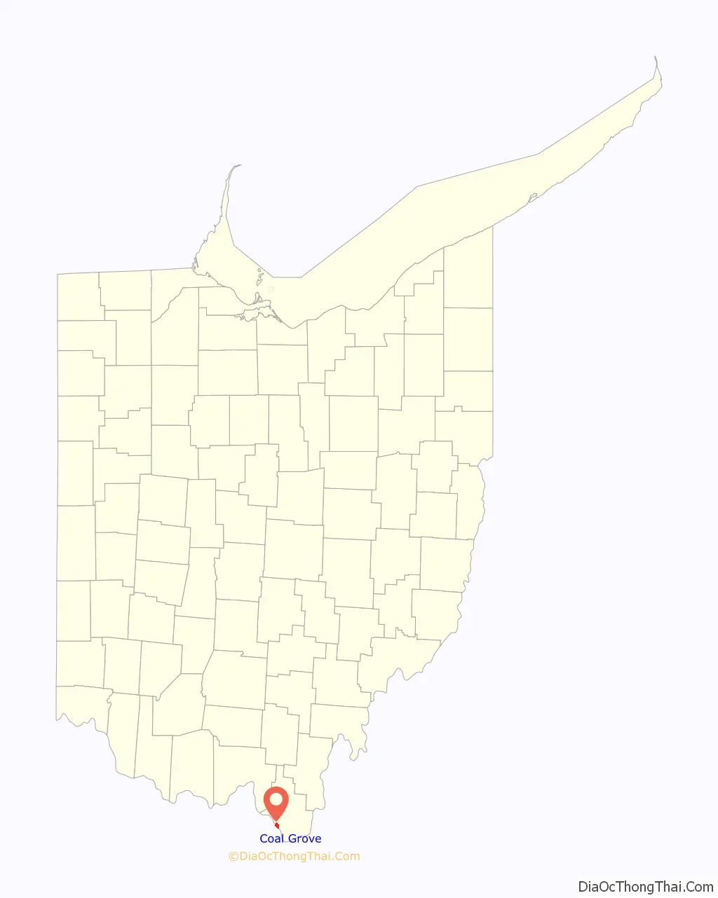
Coal Grove location map. Where is Coal Grove village?
History
Coal Grove was once known as “Petersburg” or “Petersburgh.” Its name has also been spelled “Coalgrove.”
In June 2019 a large amount of sodium permanganate was dumped into a malfunctioned water pipe, turning the water light pink. According to officials, the water was safe to drink, but it was recommended not to wash clothes with it.
Coal Grove Road Map
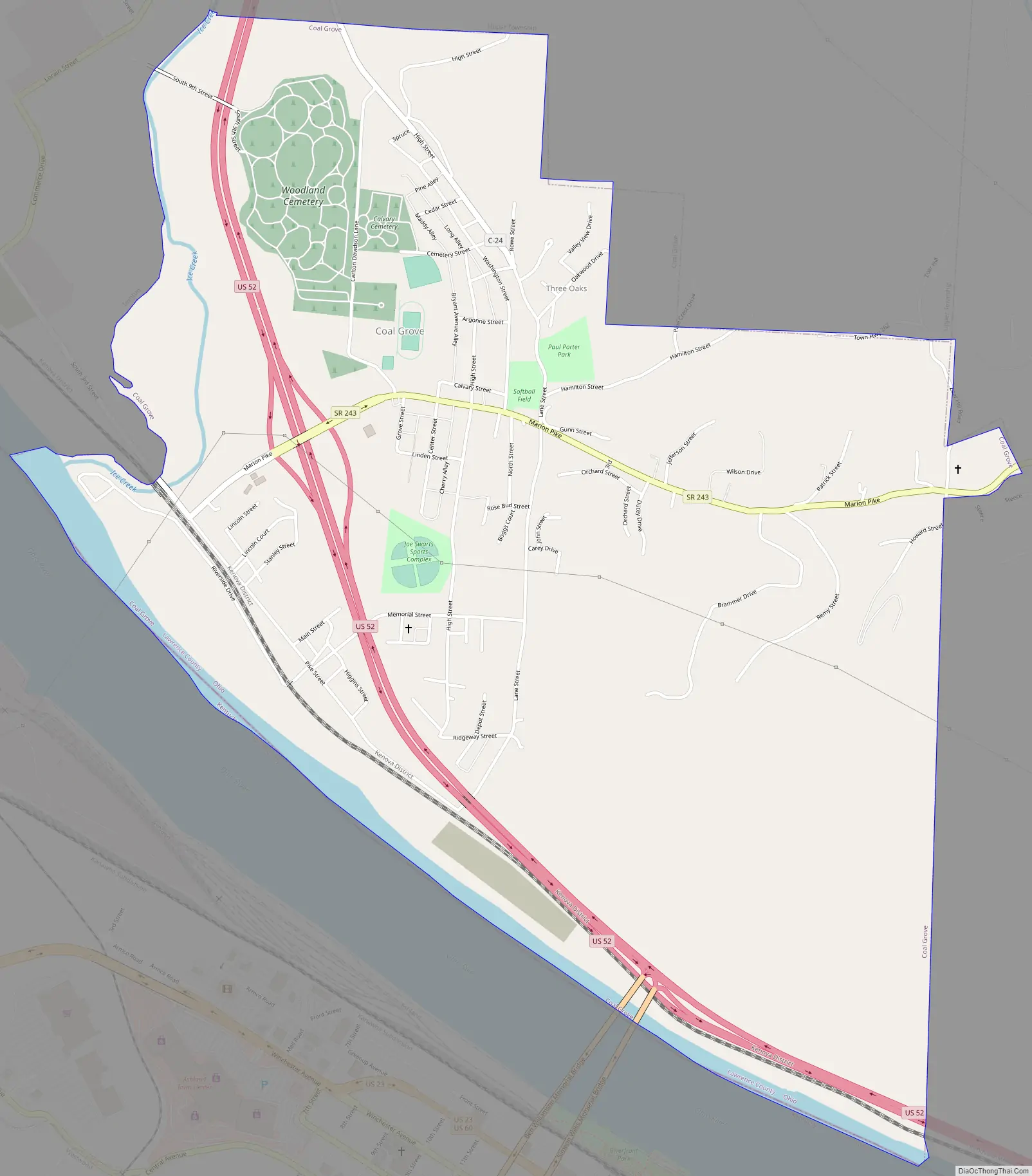
Coal Grove city Satellite Map
Geography
Coal Grove is located at 38°30′1″N 82°38′45″W / 38.50028°N 82.64583°W / 38.50028; -82.64583 (38.500240, -82.645926).
According to the United States Census Bureau, the village has a total area of 2.04 square miles (5.28 km), of which 1.90 square miles (4.92 km) is land and 0.14 square miles (0.36 km) is water.
See also
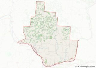
Map of Ohio State and its subdivision:- Adams
- Allen
- Ashland
- Ashtabula
- Athens
- Auglaize
- Belmont
- Brown
- Butler
- Carroll
- Champaign
- Clark
- Clermont
- Clinton
- Columbiana
- Coshocton
- Crawford
- Cuyahoga
- Darke
- Defiance
- Delaware
- Erie
- Fairfield
- Fayette
- Franklin
- Fulton
- Gallia
- Geauga
- Greene
- Guernsey
- Hamilton
- Hancock
- Hardin
- Harrison
- Henry
- Highland
- Hocking
- Holmes
- Huron
- Jackson
- Jefferson
- Knox
- Lake
- Lake Erie
- Lawrence
- Licking
- Logan
- Lorain
- Lucas
- Madison
- Mahoning
- Marion
- Medina
- Meigs
- Mercer
- Miami
- Monroe
- Montgomery
- Morgan
- Morrow
- Muskingum
- Noble
- Ottawa
- Paulding
- Perry
- Pickaway
- Pike
- Portage
- Preble
- Putnam
- Richland
- Ross
- Sandusky
- Scioto
- Seneca
- Shelby
- Stark
- Summit
- Trumbull
- Tuscarawas
- Union
- Van Wert
- Vinton
- Warren
- Washington
- Wayne
- Williams
- Wood
- Wyandot
- Alabama
- Alaska
- Arizona
- Arkansas
- California
- Colorado
- Connecticut
- Delaware
- District of Columbia
- Florida
- Georgia
- Hawaii
- Idaho
- Illinois
- Indiana
- Iowa
- Kansas
- Kentucky
- Louisiana
- Maine
- Maryland
- Massachusetts
- Michigan
- Minnesota
- Mississippi
- Missouri
- Montana
- Nebraska
- Nevada
- New Hampshire
- New Jersey
- New Mexico
- New York
- North Carolina
- North Dakota
- Ohio
- Oklahoma
- Oregon
- Pennsylvania
- Rhode Island
- South Carolina
- South Dakota
- Tennessee
- Texas
- Utah
- Vermont
- Virginia
- Washington
- West Virginia
- Wisconsin
- Wyoming