Dennison is a village in Tuscarawas County, Ohio, United States. The population was 2,655 at the 2010 census.
| Name: | Dennison village |
|---|---|
| LSAD Code: | 47 |
| LSAD Description: | village (suffix) |
| State: | Ohio |
| County: | Tuscarawas County |
| Elevation: | 866 ft (264 m) |
| Total Area: | 1.38 sq mi (3.57 km²) |
| Land Area: | 1.38 sq mi (3.57 km²) |
| Water Area: | 0.00 sq mi (0.00 km²) |
| Total Population: | 2,709 |
| Population Density: | 1,963.04/sq mi (757.81/km²) |
| ZIP code: | 44621 |
| Area code: | 740 |
| FIPS code: | 3921714 |
| GNISfeature ID: | 1064529 |
Online Interactive Map
Click on ![]() to view map in "full screen" mode.
to view map in "full screen" mode.
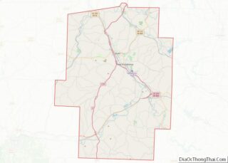
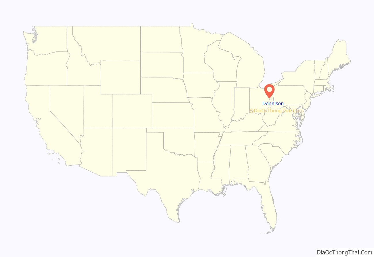
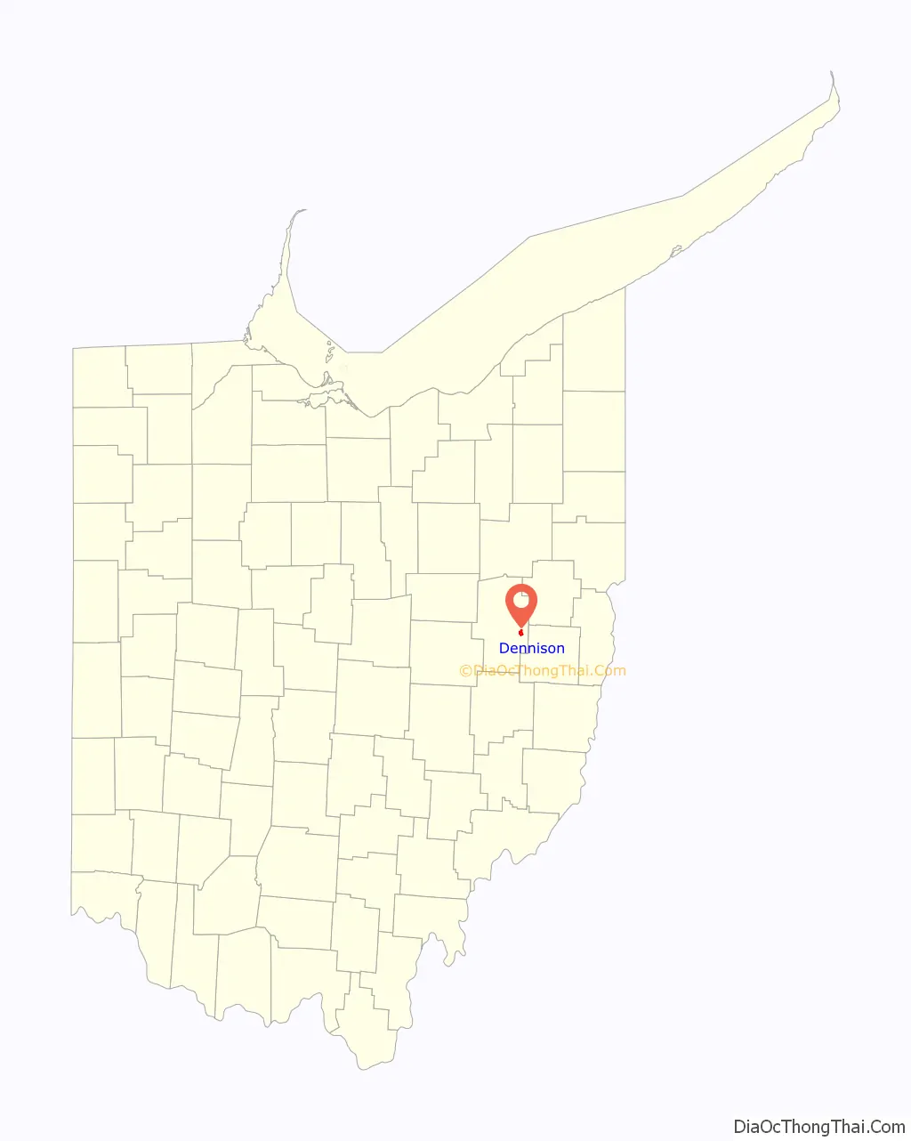
Dennison location map. Where is Dennison village?
History
The confluence of coal and railroads drove the development of Dennison. It is located at the midpoint between Pittsburgh and Columbus — 100 miles (160 km) from each. At the time, locomotives needed water every 100 miles (160 km), so Dennison was a natural refilling location. The Dennison Coal Company had mines south of town.
In 1864, The Pittsburgh, Cincinnati & St. Louis Railway decided to locate the country’s largest railroad shops and yards in Dennison. Dennison Land Company laid out the town of Dennison in 1865 and purchased land expressly for the town. The railyards spanned 40 acres (160,000 m). Demand for passenger service led to construction of a station in 1873. Thousands moved to the area for jobs in the roundhouses, turntables and foundries. At its peak, 3,000 people worked in the railyards. The Pennsylvania Railroad Company eventually subsumed the Pittsburgh, Cincinnati & St. Louis Railway.
The village incorporated in 1873, and was named for governor William Dennison.
During World War I, the Red Cross operated a canteen from a boxcar. Canteen volunteers prepared coffee and sandwiches for troops traveling through by train.
In 1922, a strike marked the end of the golden era of Dennison. During World War II, the Dennison Canteen operated from March 19, 1942, to April 8, 1946. Initially in a gas station on Center and Fifth Street, it moved to the depot restaurant and was dubbed “Dreamsville”.
The last passenger train service stopped in 1968. The last freight train stop in Dennison was in 1982. Freight trains still roll through, but they no longer stop in Dennison.
In the 1980s, Dennison elected Greg DiDonato as a member of council (while he was still a high school student) and then elected him mayor. He went on to serve as Ohio State Representative, Ohio State Senator and minority leader of the Ohio Senate.
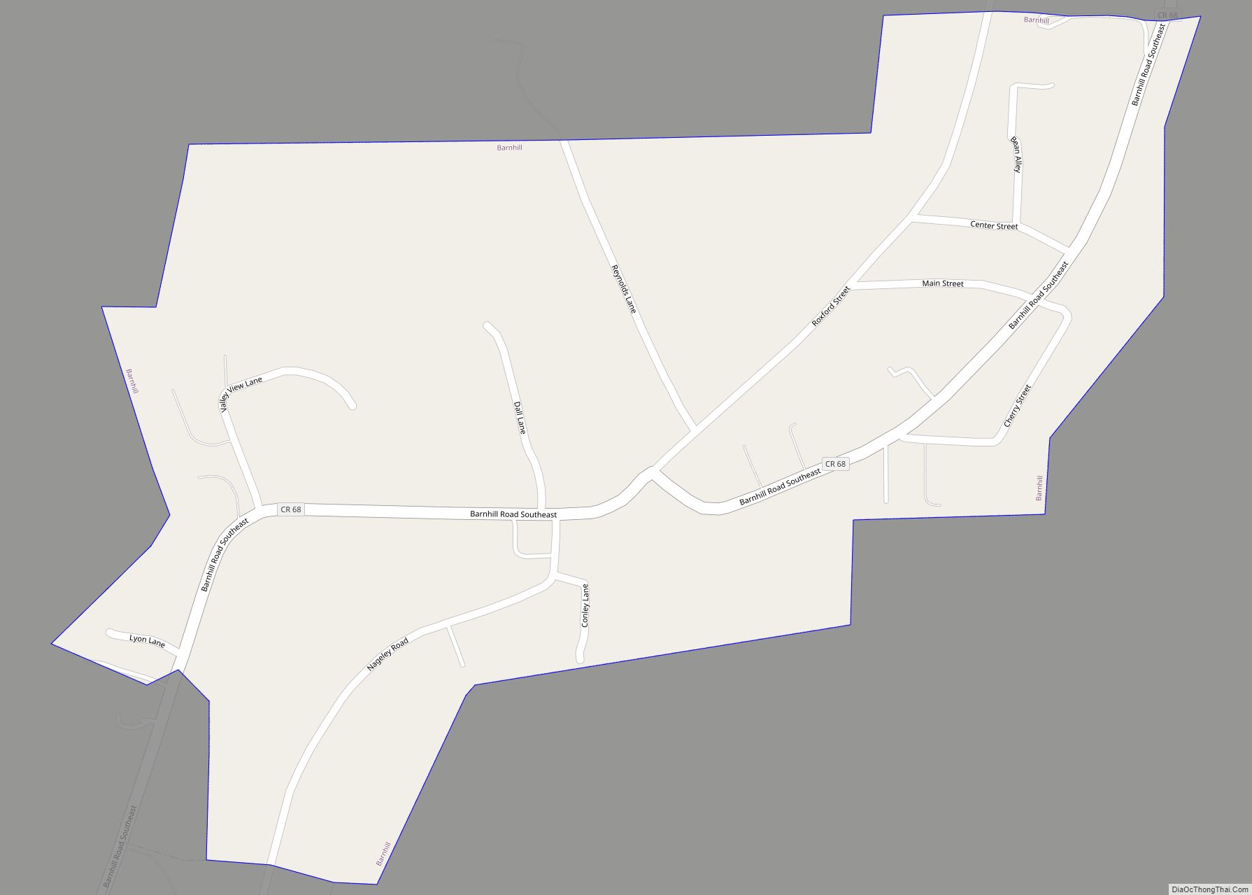
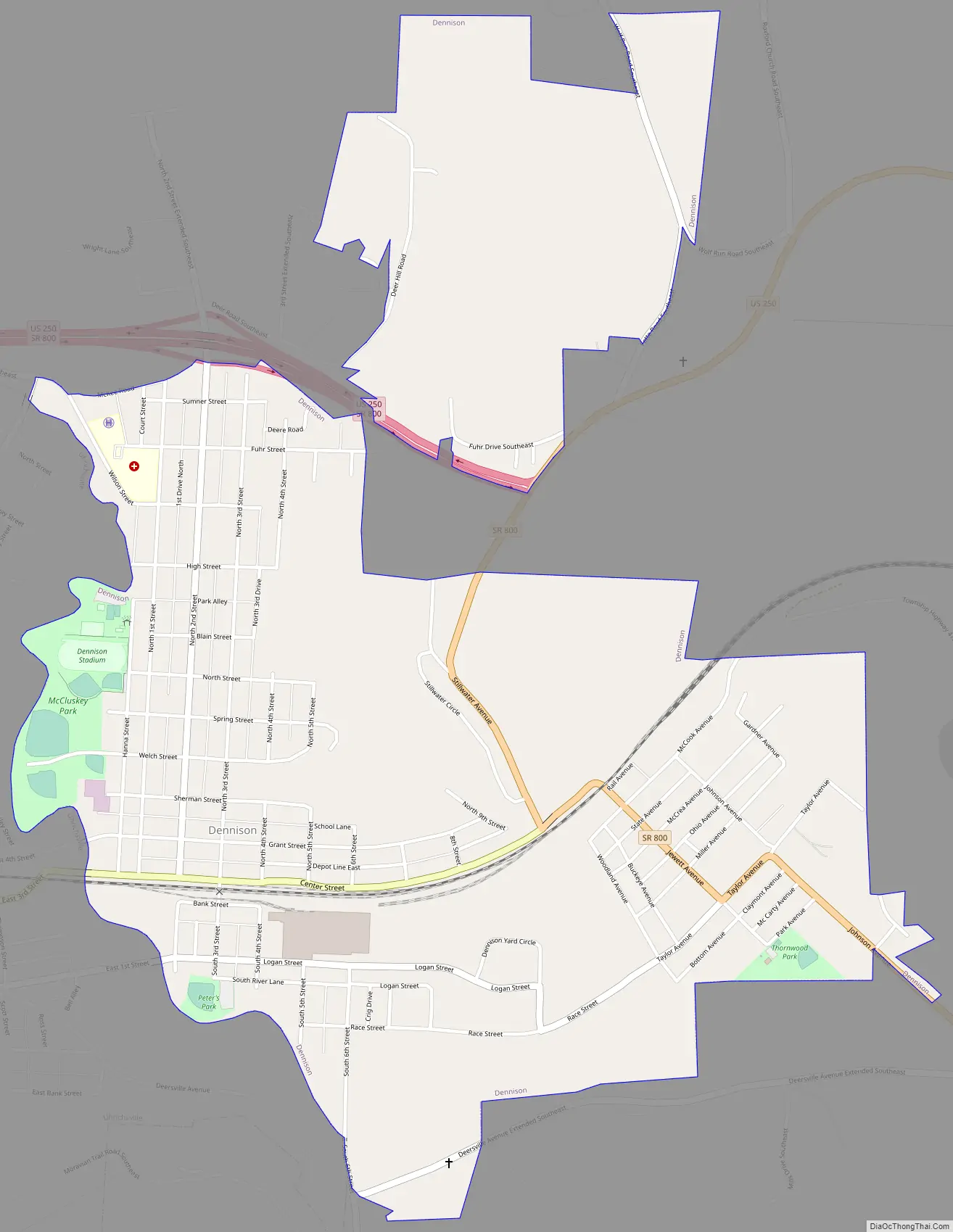
Dennison Road Map
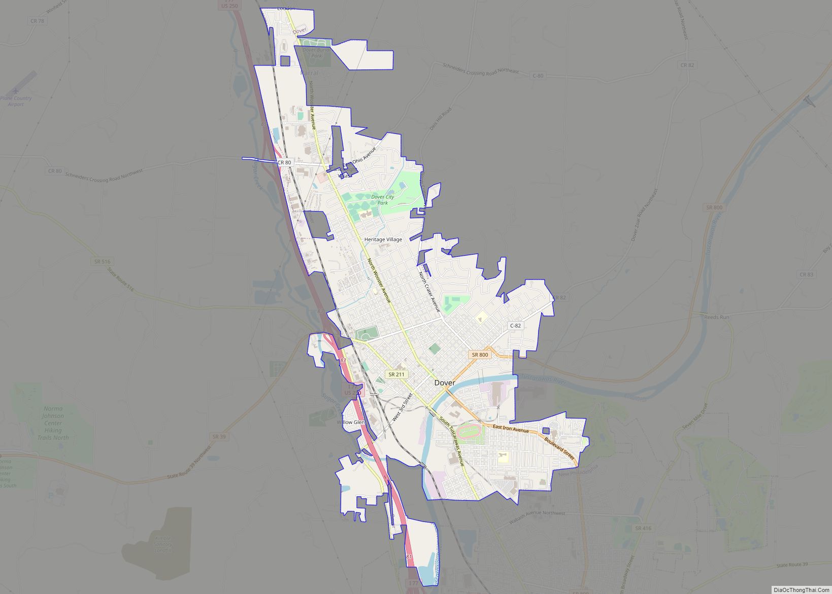
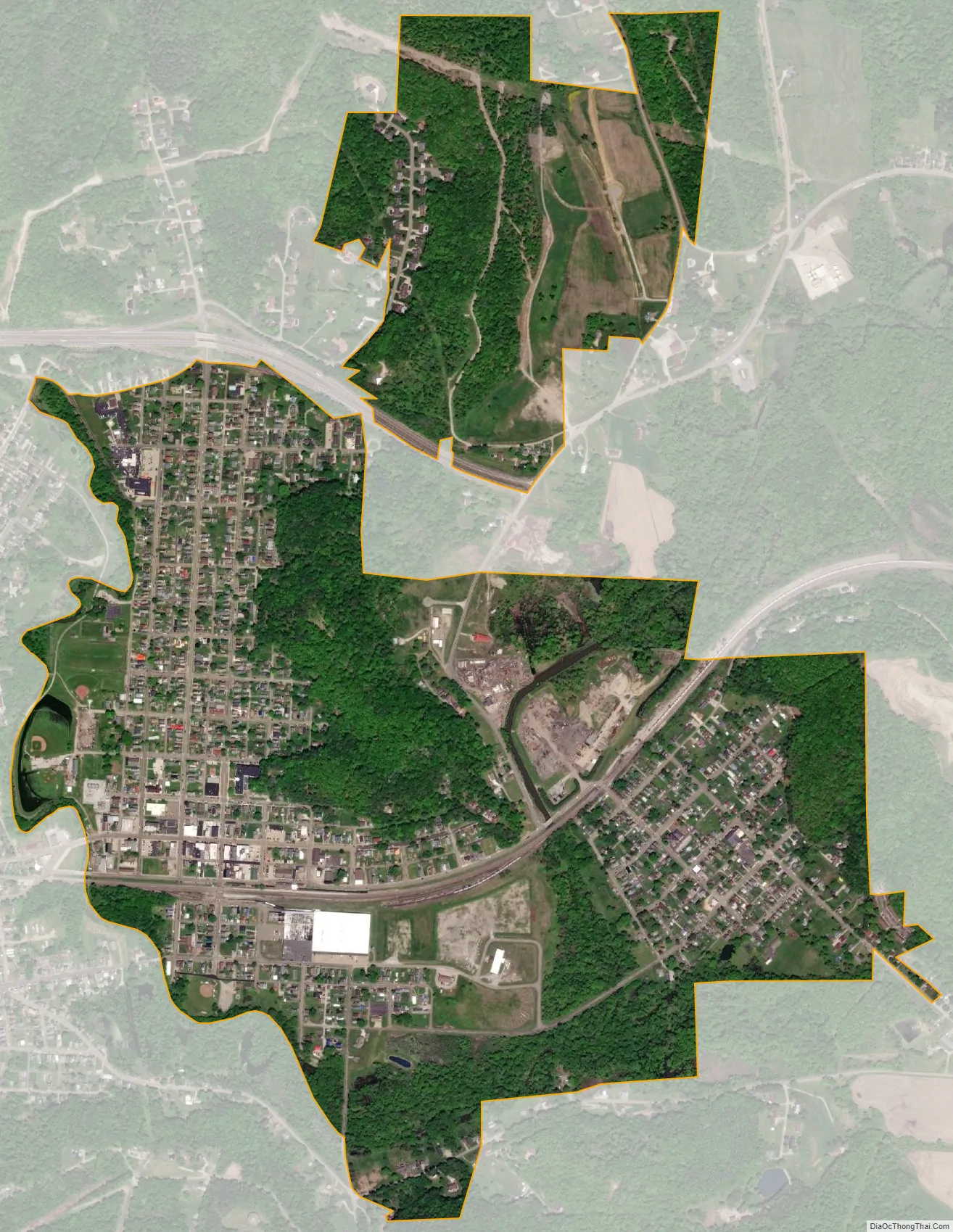
Dennison city Satellite Map
Geography
Dennison is located at 40°23′39″N 81°19′48″W / 40.39417°N 81.33000°W / 40.39417; -81.33000 (40.394045, -81.330064).
According to the United States Census Bureau, the village has a total area of 1.35 square miles (3.50 km), all land.
Climate
See also
Map of Ohio State and its subdivision:- Adams
- Allen
- Ashland
- Ashtabula
- Athens
- Auglaize
- Belmont
- Brown
- Butler
- Carroll
- Champaign
- Clark
- Clermont
- Clinton
- Columbiana
- Coshocton
- Crawford
- Cuyahoga
- Darke
- Defiance
- Delaware
- Erie
- Fairfield
- Fayette
- Franklin
- Fulton
- Gallia
- Geauga
- Greene
- Guernsey
- Hamilton
- Hancock
- Hardin
- Harrison
- Henry
- Highland
- Hocking
- Holmes
- Huron
- Jackson
- Jefferson
- Knox
- Lake
- Lake Erie
- Lawrence
- Licking
- Logan
- Lorain
- Lucas
- Madison
- Mahoning
- Marion
- Medina
- Meigs
- Mercer
- Miami
- Monroe
- Montgomery
- Morgan
- Morrow
- Muskingum
- Noble
- Ottawa
- Paulding
- Perry
- Pickaway
- Pike
- Portage
- Preble
- Putnam
- Richland
- Ross
- Sandusky
- Scioto
- Seneca
- Shelby
- Stark
- Summit
- Trumbull
- Tuscarawas
- Union
- Van Wert
- Vinton
- Warren
- Washington
- Wayne
- Williams
- Wood
- Wyandot
- Alabama
- Alaska
- Arizona
- Arkansas
- California
- Colorado
- Connecticut
- Delaware
- District of Columbia
- Florida
- Georgia
- Hawaii
- Idaho
- Illinois
- Indiana
- Iowa
- Kansas
- Kentucky
- Louisiana
- Maine
- Maryland
- Massachusetts
- Michigan
- Minnesota
- Mississippi
- Missouri
- Montana
- Nebraska
- Nevada
- New Hampshire
- New Jersey
- New Mexico
- New York
- North Carolina
- North Dakota
- Ohio
- Oklahoma
- Oregon
- Pennsylvania
- Rhode Island
- South Carolina
- South Dakota
- Tennessee
- Texas
- Utah
- Vermont
- Virginia
- Washington
- West Virginia
- Wisconsin
- Wyoming