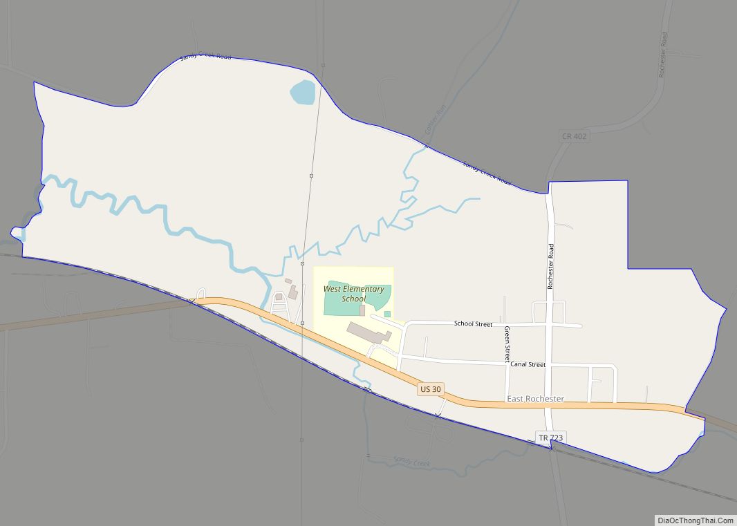
East Rochester is an unincorporated community and census-designated place (CDP) in southern West Township, Columbiana County, Ohio, United States. The population was 224 as of the 2020 census. It lies along U.S. Route 30, and has a post office with the ZIP code 44625. It is part of the Salem micropolitan area and the greater Youngstown–Warren area.
| Name: | East Rochester CDP |
|---|---|
| LSAD Code: | 57 |
| LSAD Description: | CDP (suffix) |
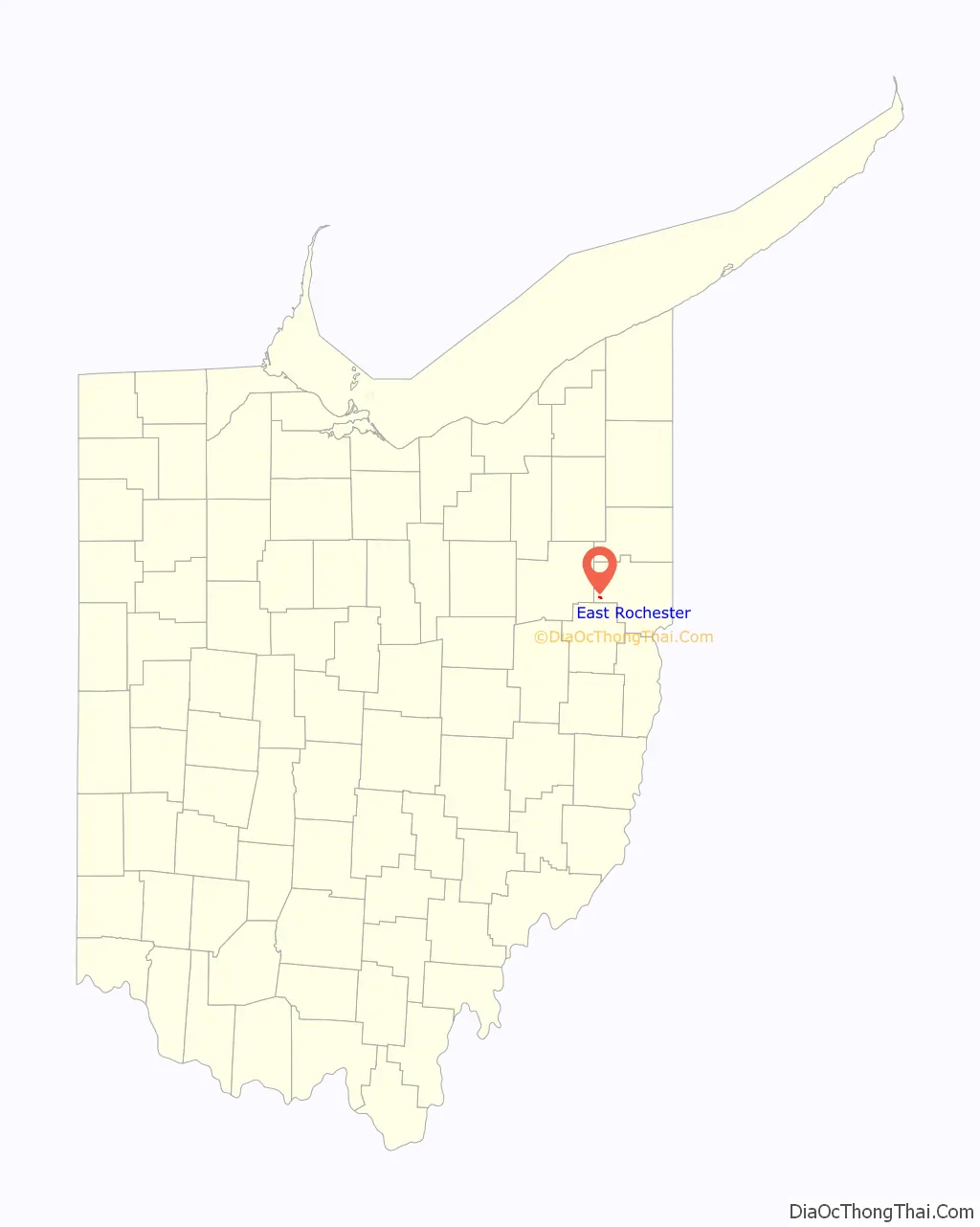
| State: | Ohio |
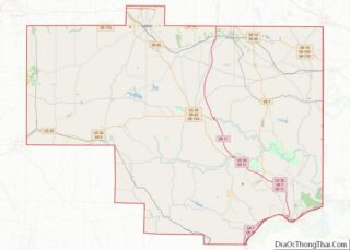
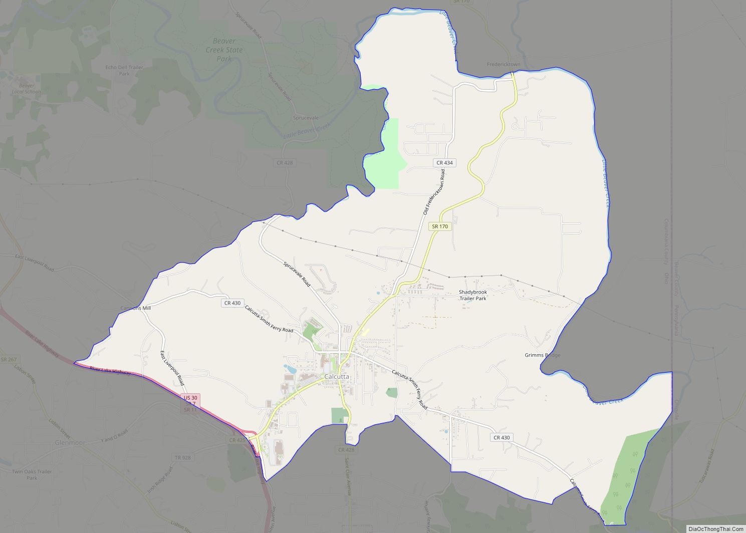
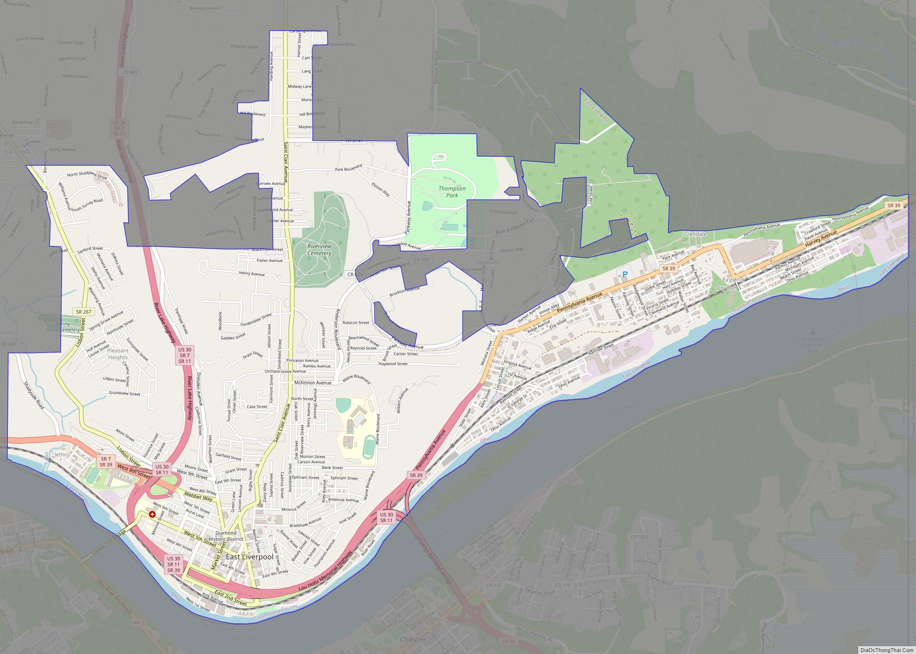
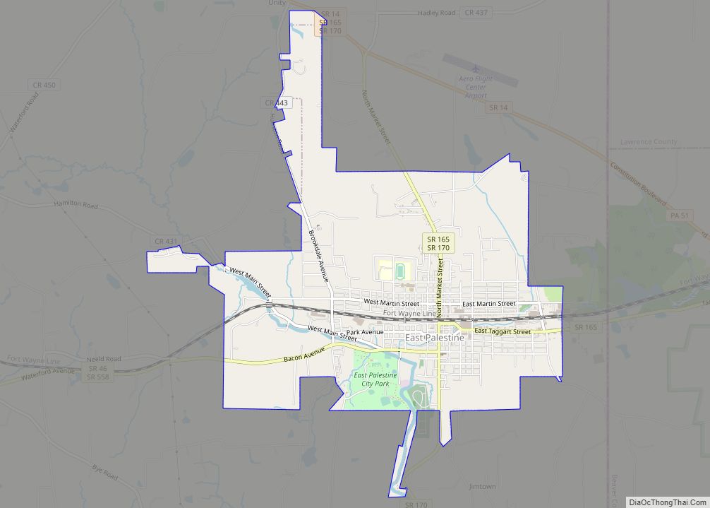
| County: | Columbiana County |
| Elevation: | 1,115 ft (340 m) |
| Total Area: | 0.43 sq mi (1.10 km²) |
| Land Area: | 0.43 sq mi (1.10 km²) |
| Water Area: | 0.00 sq mi (0.00 km²) |
| Total Population: | 224 |
| Population Density: | 525.82/sq mi (202.93/km²) |
| ZIP code: | 44625 |
| Area code: | 330, 234 |
| FIPS code: | 3924024 |
Online Interactive Map
Click on ![]() to view map in "full screen" mode.
to view map in "full screen" mode.
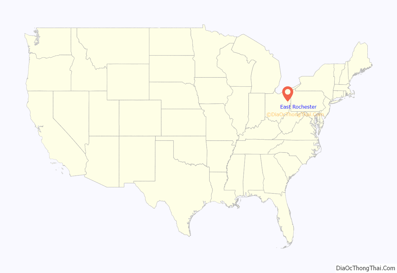
East Rochester location map. Where is East Rochester CDP?
History
East Rochester was originally known officially as “Rochester”, and under the latter name was platted in 1834. The Cleveland and Pittsburgh Railroad was built through the settlement in 1852. When the post office was established, the name “East Rochester” was adopted to avoid repetition with another Rochester, Ohio. A post office called East Rochester has been in operation since 1840.
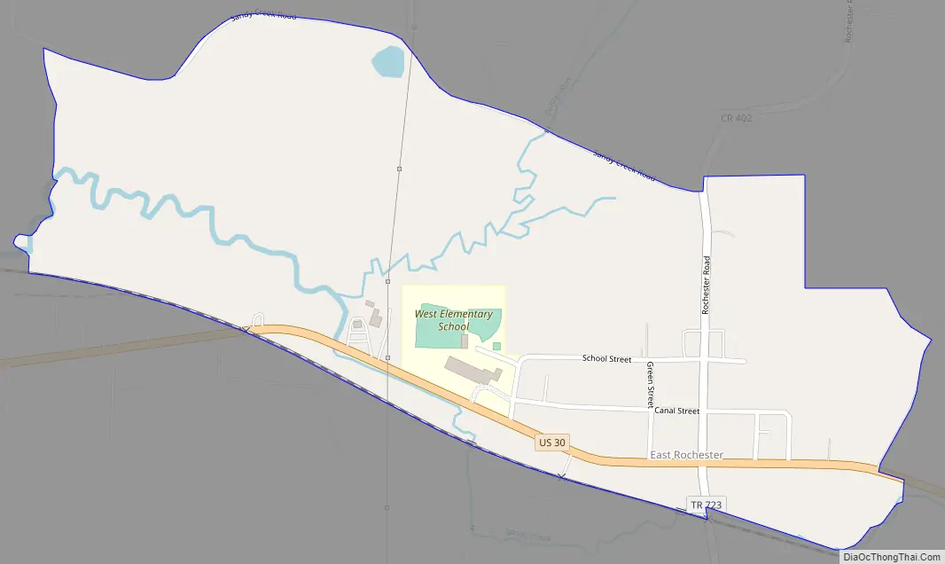
East Rochester Road Map
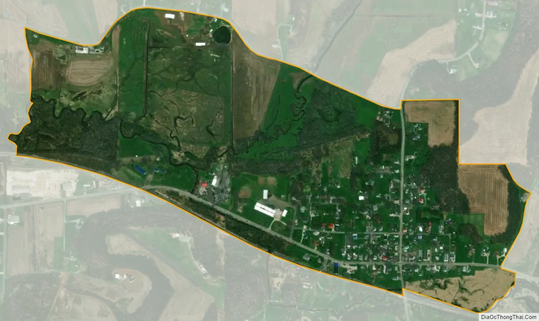
East Rochester city Satellite Map
Geography
East Rochester is located along U.S. Route 30, 32 miles (51 km) northwest of East Liverpool and 22 miles (35 km) east of Canton. The nearest incorporated community is Minerva, 4 miles (6 km) to the west.
According to the U.S. Census Bureau, the East Rochester CDP has an area of 0.42 square miles (1.1 km). It is in the valley of Sandy Creek, which flows west to the Tuscarawas River, a tributary of the Ohio River.
See also
Map of Ohio State and its subdivision:- Adams
- Allen
- Ashland
- Ashtabula
- Athens
- Auglaize
- Belmont
- Brown
- Butler
- Carroll
- Champaign
- Clark
- Clermont
- Clinton
- Columbiana
- Coshocton
- Crawford
- Cuyahoga
- Darke
- Defiance
- Delaware
- Erie
- Fairfield
- Fayette
- Franklin
- Fulton
- Gallia
- Geauga
- Greene
- Guernsey
- Hamilton
- Hancock
- Hardin
- Harrison
- Henry
- Highland
- Hocking
- Holmes
- Huron
- Jackson
- Jefferson
- Knox
- Lake
- Lake Erie
- Lawrence
- Licking
- Logan
- Lorain
- Lucas
- Madison
- Mahoning
- Marion
- Medina
- Meigs
- Mercer
- Miami
- Monroe
- Montgomery
- Morgan
- Morrow
- Muskingum
- Noble
- Ottawa
- Paulding
- Perry
- Pickaway
- Pike
- Portage
- Preble
- Putnam
- Richland
- Ross
- Sandusky
- Scioto
- Seneca
- Shelby
- Stark
- Summit
- Trumbull
- Tuscarawas
- Union
- Van Wert
- Vinton
- Warren
- Washington
- Wayne
- Williams
- Wood
- Wyandot
- Alabama
- Alaska
- Arizona
- Arkansas
- California
- Colorado
- Connecticut
- Delaware
- District of Columbia
- Florida
- Georgia
- Hawaii
- Idaho
- Illinois
- Indiana
- Iowa
- Kansas
- Kentucky
- Louisiana
- Maine
- Maryland
- Massachusetts
- Michigan
- Minnesota
- Mississippi
- Missouri
- Montana
- Nebraska
- Nevada
- New Hampshire
- New Jersey
- New Mexico
- New York
- North Carolina
- North Dakota
- Ohio
- Oklahoma
- Oregon
- Pennsylvania
- Rhode Island
- South Carolina
- South Dakota
- Tennessee
- Texas
- Utah
- Vermont
- Virginia
- Washington
- West Virginia
- Wisconsin
- Wyoming