Four Bridges is a census-designated place (CDP) in Liberty Township, Butler County, Ohio, United States. The population was 2,919 at the 2010 census.
| Name: | Four Bridges CDP |
|---|---|
| LSAD Code: | 57 |
| LSAD Description: | CDP (suffix) |
| State: | Ohio |
| County: | Butler County |
| Elevation: | 850 ft (260 m) |
| Total Area: | 2.20 sq mi (5.69 km²) |
| Land Area: | 2.19 sq mi (5.68 km²) |
| Water Area: | 0.00 sq mi (0.01 km²) |
| Total Population: | 3,401 |
| Population Density: | 1,549.43/sq mi (598.33/km²) |
| FIPS code: | 3928058 |
| GNISfeature ID: | 2584362 |
Online Interactive Map
Click on ![]() to view map in "full screen" mode.
to view map in "full screen" mode.
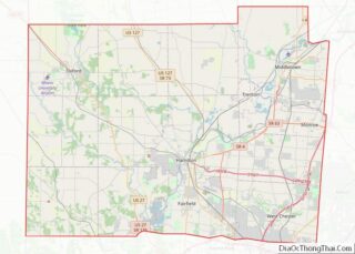
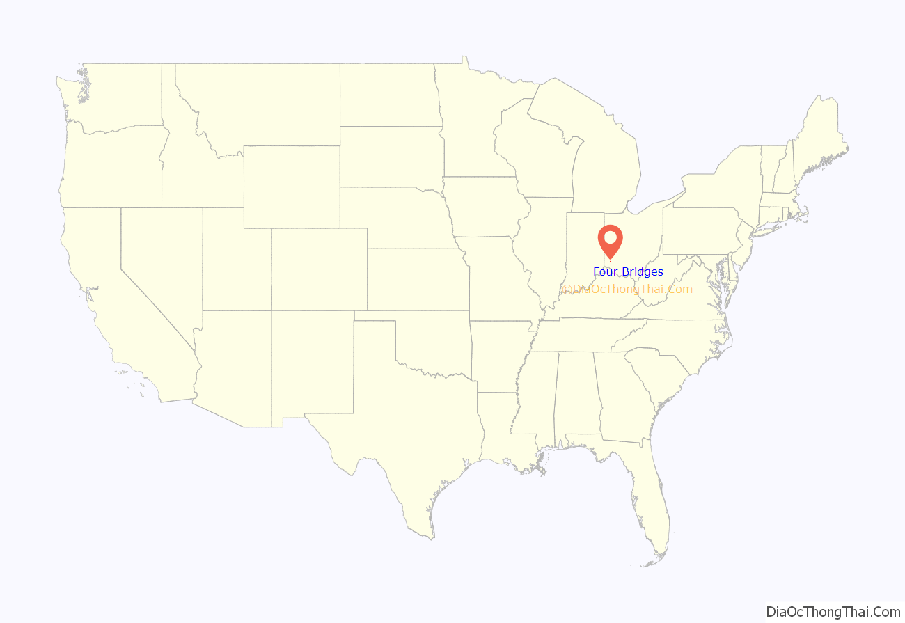
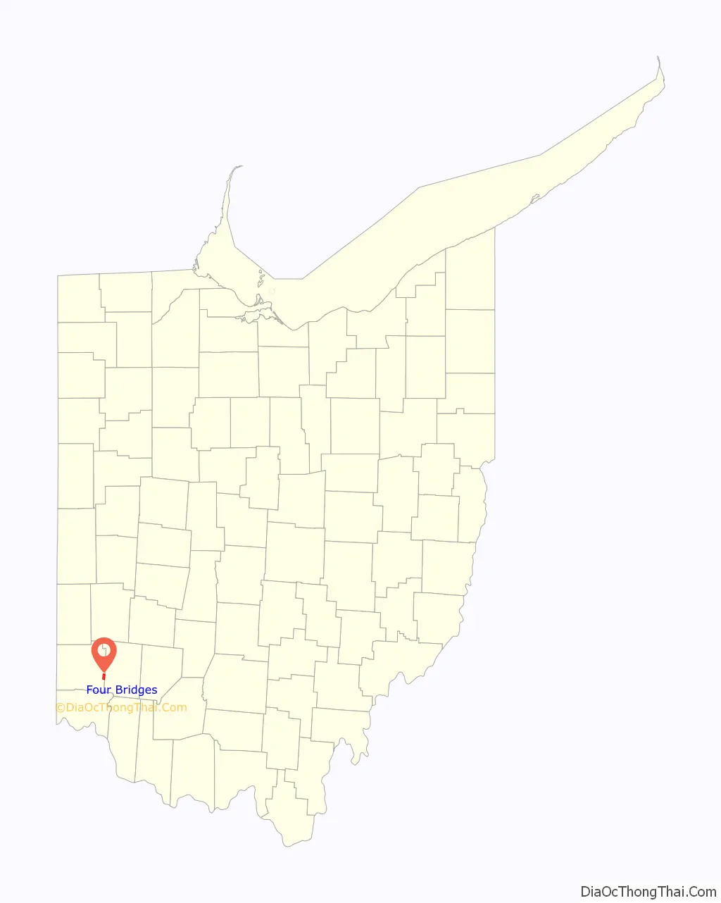
Four Bridges location map. Where is Four Bridges CDP?
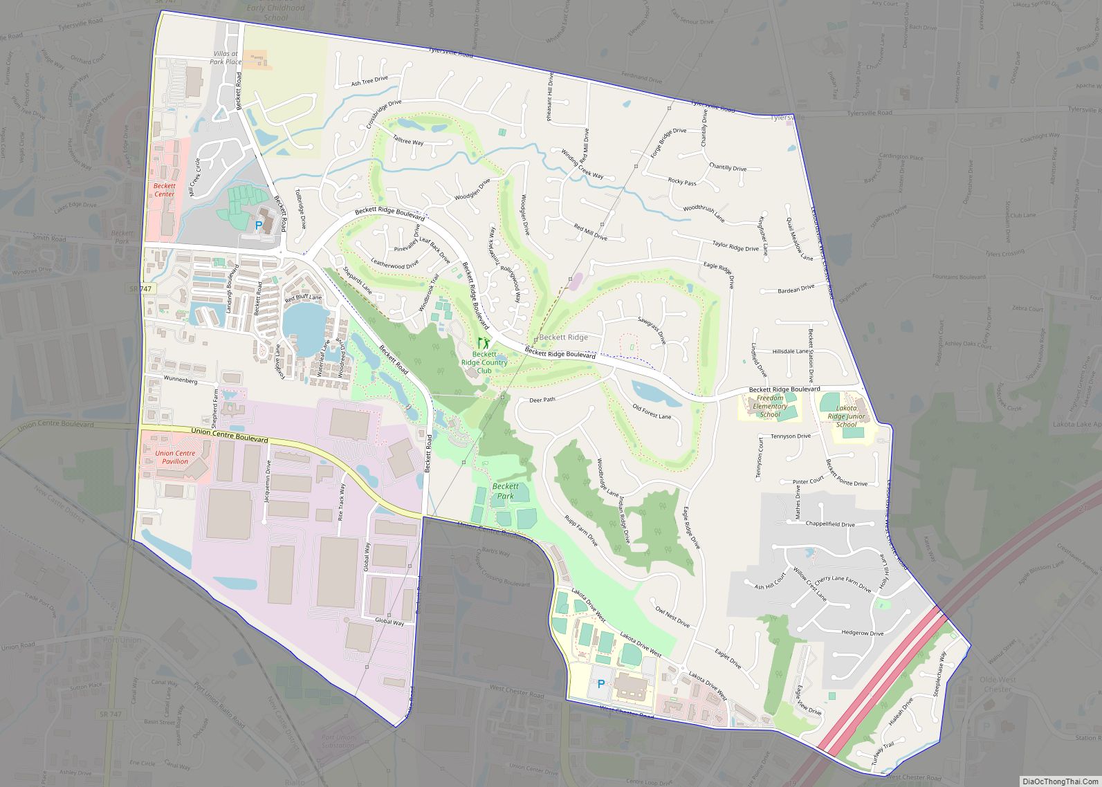
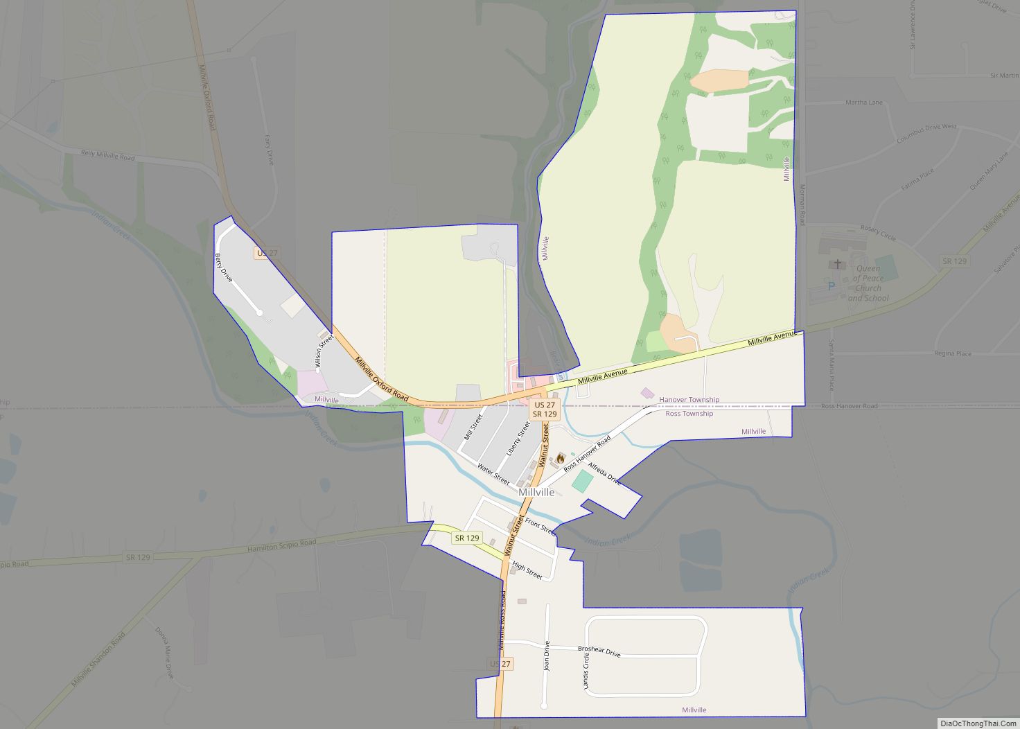
Four Bridges Road Map
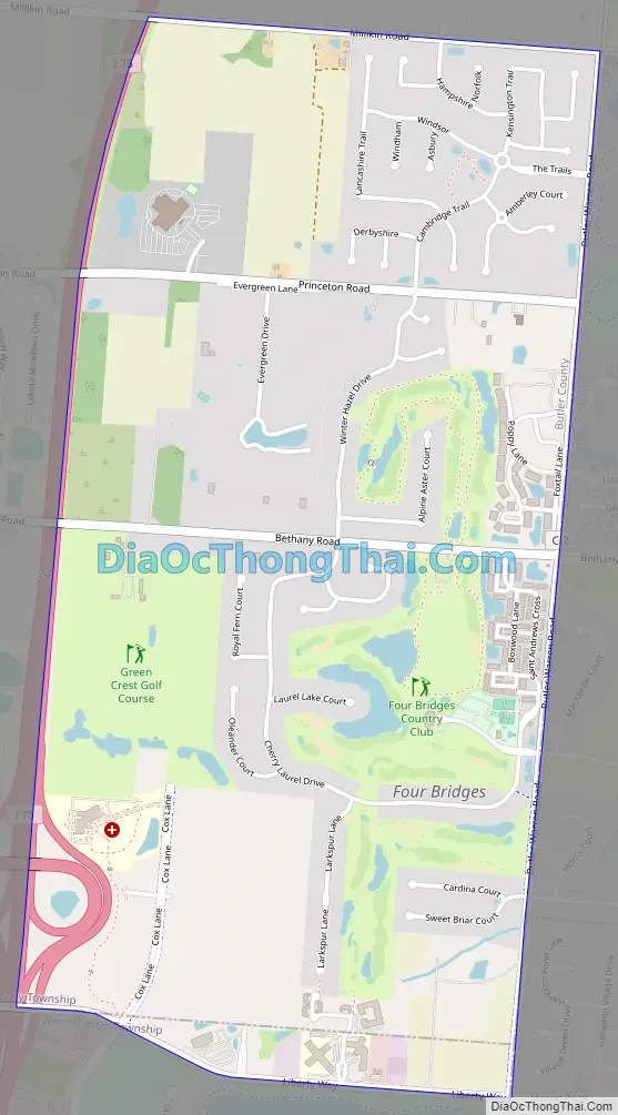
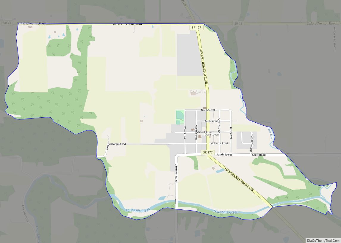
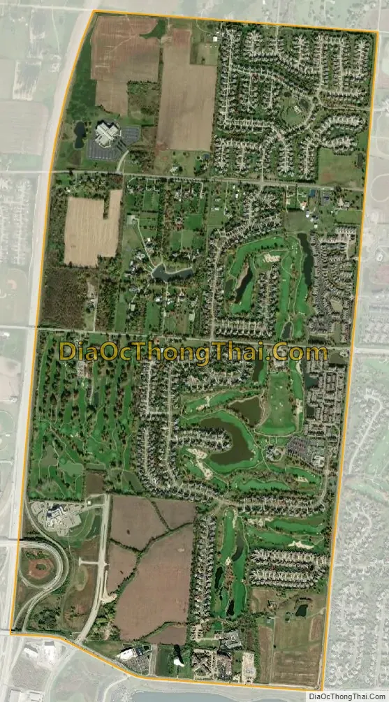
Four Bridges city Satellite Map
Geography
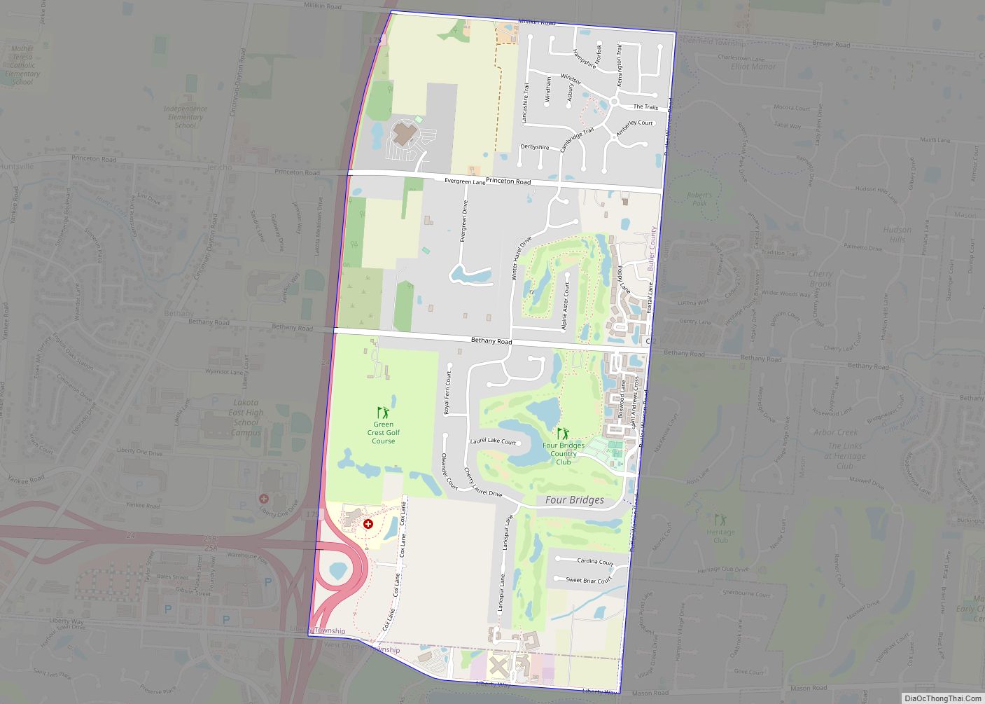
Four Bridges is located along the eastern border of Butler County, in the southeast part of Liberty Township. It is bordered to the south by West Chester Township and to the east by the city of Mason in Warren County. Four Bridges consists primarily of housing developments around two golf courses, Four Bridges Country Club and Green Crest Golf Club.
Interstate 75 forms the western edge of the CDP, with access from Exit 24 (Liberty Way). Downtown Cincinnati is 24 miles (39 km) to the south, and Dayton is 30 miles (48 km) to the north.
According to the United States Census Bureau, the Four Bridges CDP has a total area of 2.2 square miles (5.7 km), all land.
See also
Map of Ohio State and its subdivision:- Adams
- Allen
- Ashland
- Ashtabula
- Athens
- Auglaize
- Belmont
- Brown
- Butler
- Carroll
- Champaign
- Clark
- Clermont
- Clinton
- Columbiana
- Coshocton
- Crawford
- Cuyahoga
- Darke
- Defiance
- Delaware
- Erie
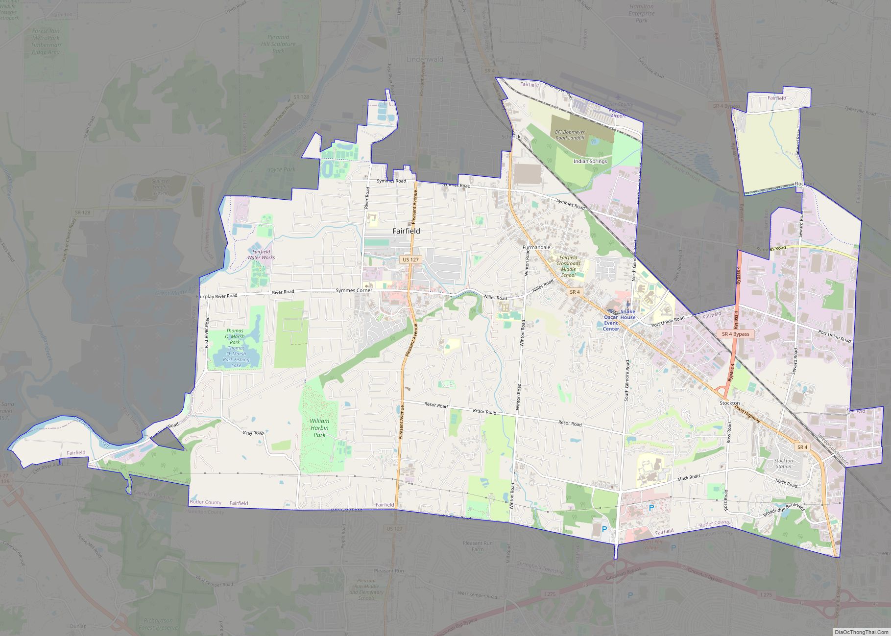
- Fairfield
- Fayette
- Franklin
- Fulton
- Gallia
- Geauga
- Greene
- Guernsey
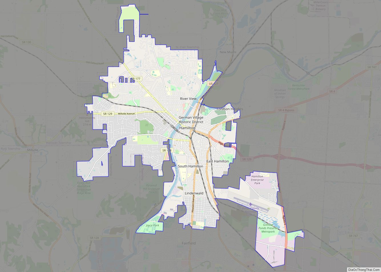
- Hamilton
- Hancock
- Hardin
- Harrison
- Henry
- Highland
- Hocking
- Holmes
- Huron
- Jackson
- Jefferson
- Knox
- Lake
- Lake Erie
- Lawrence
- Licking
- Logan
- Lorain
- Lucas
- Madison
- Mahoning
- Marion
- Medina
- Meigs
- Mercer
- Miami
- Monroe
- Montgomery
- Morgan
- Morrow
- Muskingum
- Noble
- Ottawa
- Paulding
- Perry
- Pickaway
- Pike
- Portage
- Preble
- Putnam
- Richland
- Ross
- Sandusky
- Scioto
- Seneca
- Shelby
- Stark
- Summit
- Trumbull
- Tuscarawas
- Union
- Van Wert
- Vinton
- Warren
- Washington
- Wayne
- Williams
- Wood
- Wyandot
- Alabama
- Alaska
- Arizona
- Arkansas
- California
- Colorado
- Connecticut
- Delaware
- District of Columbia
- Florida
- Georgia
- Hawaii
- Idaho
- Illinois
- Indiana
- Iowa
- Kansas
- Kentucky
- Louisiana
- Maine
- Maryland
- Massachusetts
- Michigan
- Minnesota
- Mississippi
- Missouri
- Montana
- Nebraska
- Nevada
- New Hampshire
- New Jersey
- New Mexico
- New York
- North Carolina
- North Dakota
- Ohio
- Oklahoma
- Oregon
- Pennsylvania
- Rhode Island
- South Carolina
- South Dakota
- Tennessee
- Texas
- Utah
- Vermont
- Virginia
- Washington
- West Virginia
- Wisconsin
- Wyoming