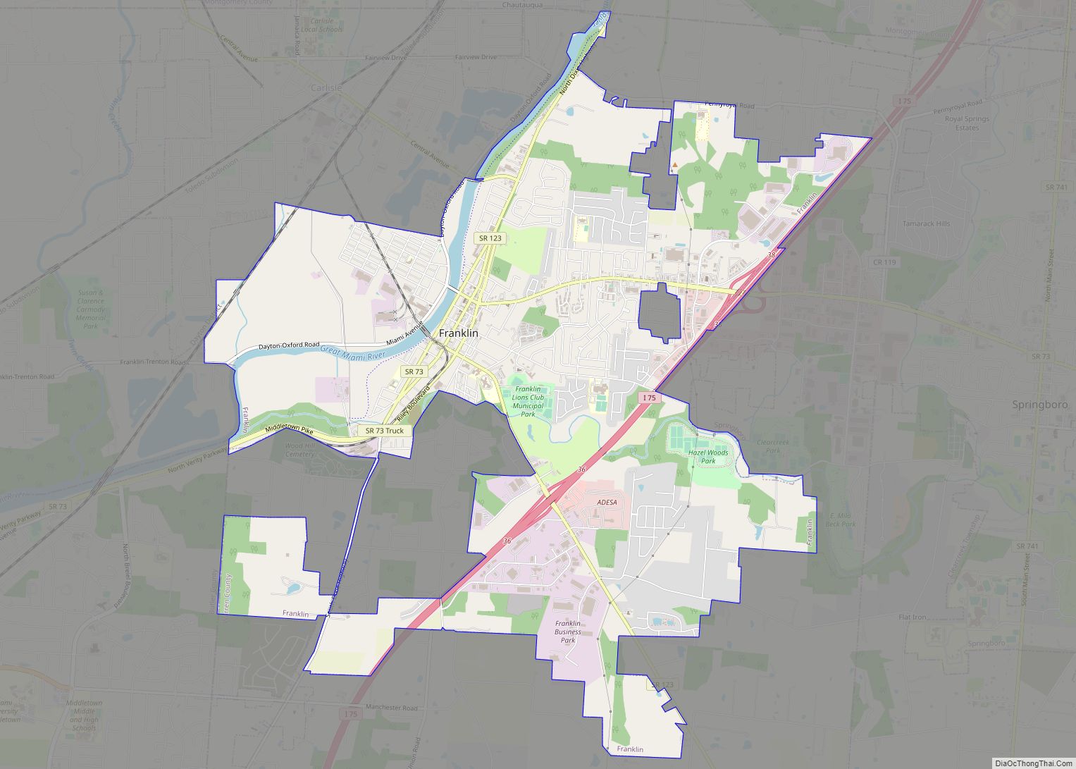
Franklin is a city in Warren County, Ohio, United States, along the Great Miami River. The population was 11,690 at the 2020 census. The city lies about 15 miles (24 km) southwest of Dayton and 33.5 miles (53.9 km) northeast of Cincinnati. Ohio State Routes 73, 123 and 741 pass through Franklin, while Interstate 75 passes on the east side of the city.
| Name: | Franklin city |
|---|---|
| LSAD Code: | 25 |
| LSAD Description: | city (suffix) |
| State: | Ohio |
| County: | Warren County |
| Founded: | 1796 |
| Elevation: | 650 ft (198 m) |
| Total Area: | 9.43 sq mi (24.41 km²) |
| Land Area: | 9.23 sq mi (23.90 km²) |
| Water Area: | 0.20 sq mi (0.51 km²) 1.82% |
| Total Population: | 11,690 |
| Population Density: | 1,266.80/sq mi (489.11/km²) |
| ZIP code: | 45005 |
| Area code: | 937 |
| FIPS code: | 3928476 |
| GNISfeature ID: | 1048758 |
| Website: | http://www.franklinohio.org/ |
Online Interactive Map
Click on ![]() to view map in "full screen" mode.
to view map in "full screen" mode.
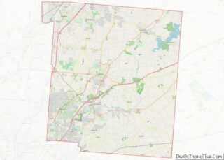
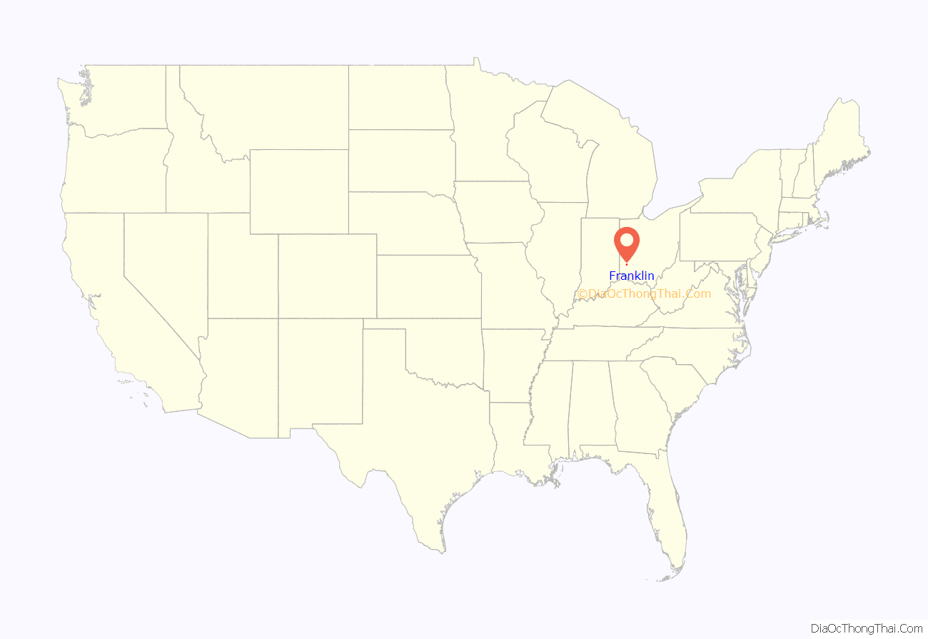
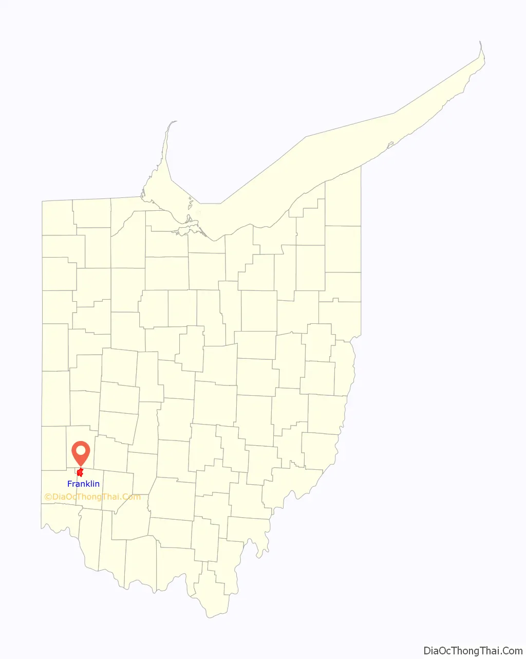
Franklin location map. Where is Franklin city?
History
Franklin was founded by General William C. Schenck, in 1796. The settlement was named for Benjamin Franklin. Franklin was incorporated in 1814, and became a city in 1951. One of the first four post offices in Warren County was established in Franklin in 1805. The first postmaster was John N.C. Schenck, brother of General Schenck. The Franklin Post Office still stands (in a different location), and is one of four sites in Franklin listed on the National Register of Historic Places, along with the Mackinaw Historic District.
Construction of the Miami and Erie Canal occurred between 1825 and 1845. The canal followed the Great Miami River through Franklin, and the boat traffic led to new commerce. The town soon had a pork slaughterhouse, barrel making factory, sawmill, and whiskey distillery. Franklin’s first mayor, Dr. Absalom Death, was elected at a tavern meeting in 1837. Dr. Death went on to be director of a medical college in Cincinnati. In its history, two doctors in Franklin have been named “Dr. Death”.
By the 1850s, the Franklin area was noted for breeding racehorses. One chestnut-colored mare, Nightingale, sired by Mambrino and Wood’s Hambletonian, set a 3-mile harness racing record of 6:55½ in 1893. A railroad was completed with a depot in Franklin in 1872. The town continued to prosper, and by 1890, five paper mills were located in Franklin. The town’s economy suffered a setback in 1896, when Franklin’s only bank crashed. A longtime and trusted teller had embezzled vast amounts of money, affecting the fortunes of many individuals and businesses.
The town marshal of Franklin, George Basore, was shot and killed in 1906 while attempting to arrest an African American man, George White. When White was arrested, a crowd of 300 gathered outside the Franklin jail intent on lynching him. The sheriff and two deputies were able to remove White and take him to nearby Lebanon for his safety. The New York Times reported: “The whole town of Franklin is wrought up over the affair. Colored people were chased out without being given time to explain”. White died the following year in the electric chair.
In 1907, Franklin’s fire chief, B.H. Miller, walked into the police station and shot dead one of the prisoners who had allegedly had an affair with his wife a month earlier. The town was devastated by the Great Flood of March 1913, when the Great Miami River overflowed its banks.
Franklin opened what was considered the world’s first garbage-recycling plant in 1971. Designed and built by the Black Clawson Company, the plant recycled metals from solid waste, and used recovered paper fibers to make roofing materials.
In 1989, Ronald Peters, a café owner in Franklin, was alleged to be the principal bookmaker for baseball player Pete Rose.
In 2015, The Museum of Spiritual Art opened. In 2017, Franklin attracted national attention in the week following the Unite the Right rally in Charlottesville, Virginia, when the city removed an obscure Confederate marker honoring Robert E. Lee that had existed along the right-of-way of Dixie Highway. The marker had been dedicated in 1927 by the United Daughters of the Confederacy in what was at that time a part of Franklin Township.
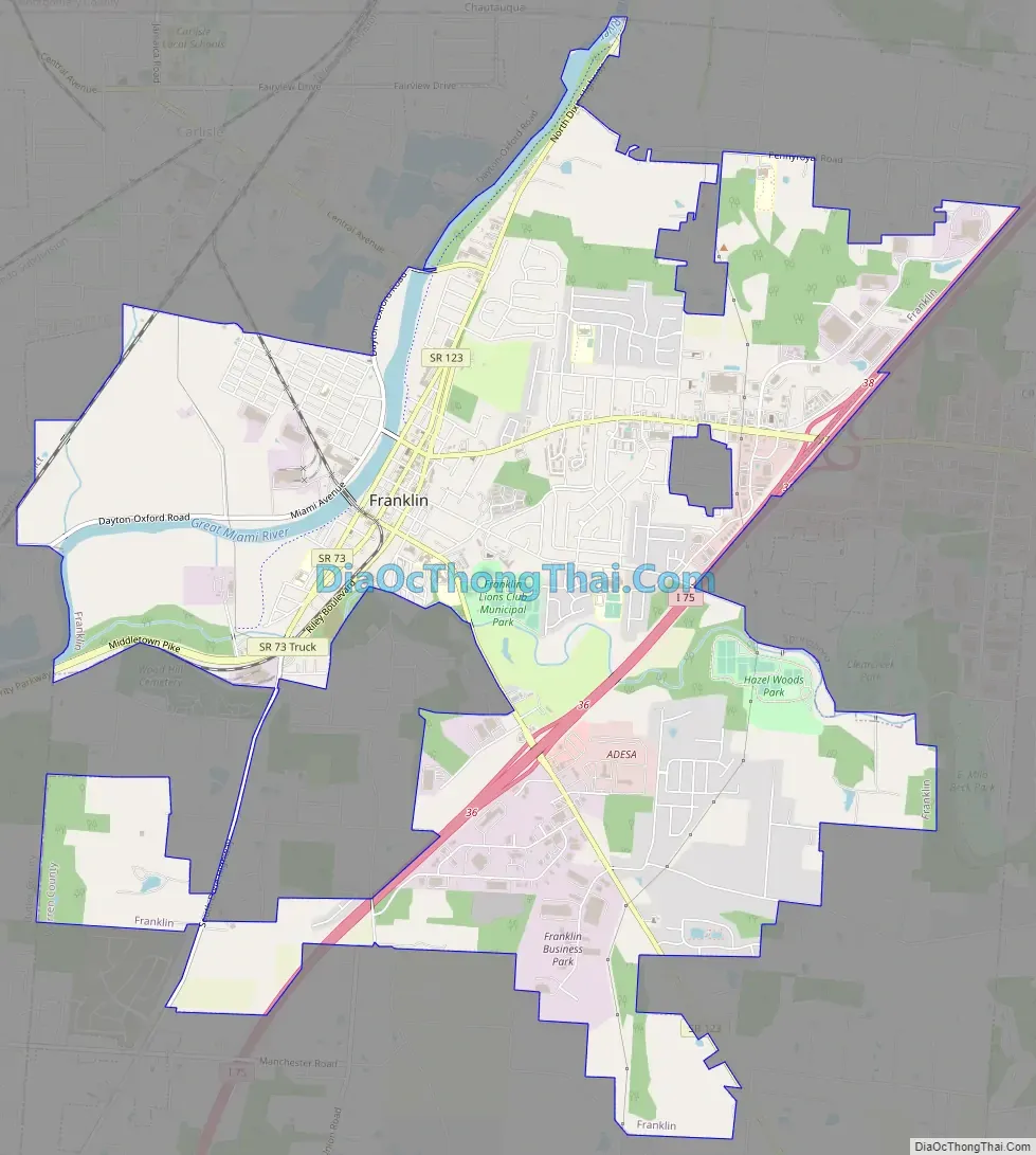
Franklin Road Map
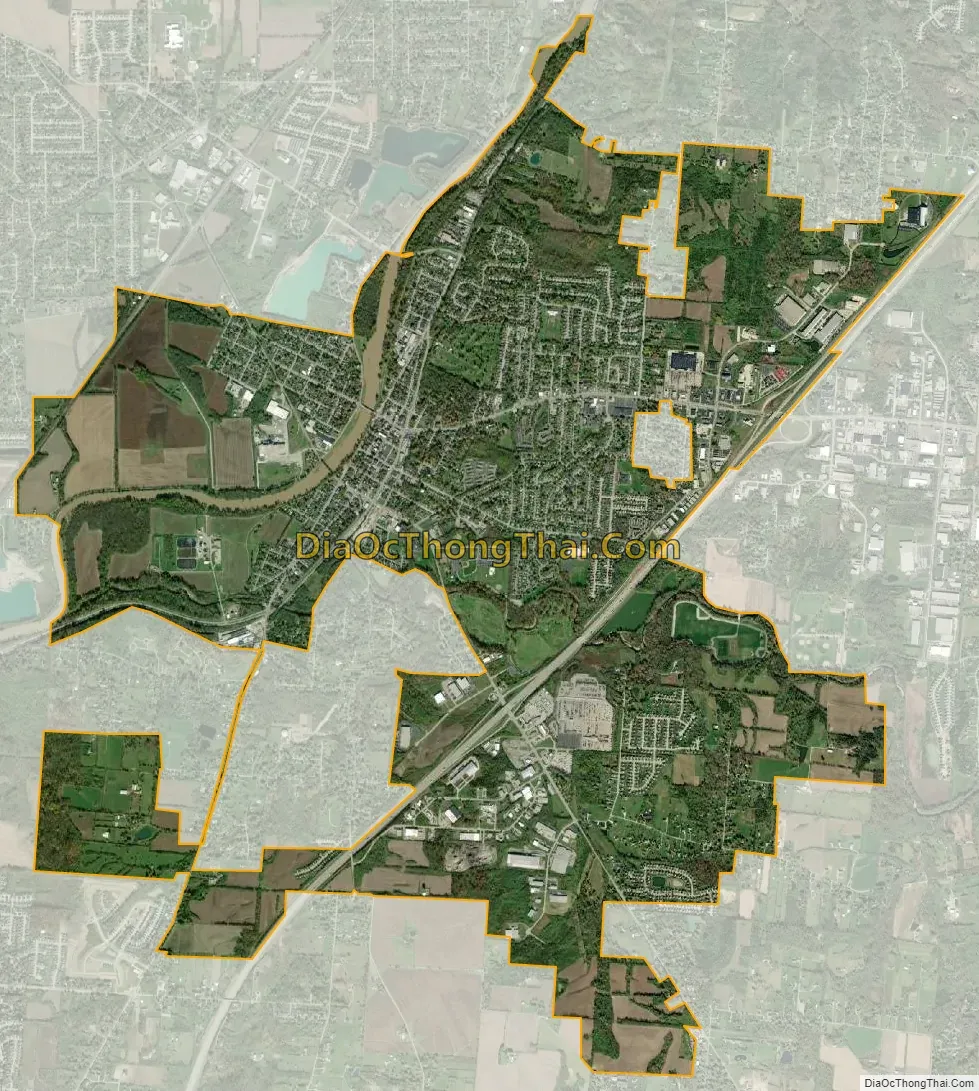
Franklin city Satellite Map
Geography
According to the United States Census Bureau, the city has a total area of 9.34 square miles (24.19 km), of which 9.17 square miles (23.75 km) is land and 0.17 square miles (0.44 km) is water.
See also
Map of Ohio State and its subdivision:- Adams
- Allen
- Ashland
- Ashtabula
- Athens
- Auglaize
- Belmont
- Brown
- Butler
- Carroll
- Champaign
- Clark
- Clermont
- Clinton
- Columbiana
- Coshocton
- Crawford
- Cuyahoga
- Darke
- Defiance
- Delaware
- Erie
- Fairfield
- Fayette
- Franklin
- Fulton
- Gallia
- Geauga
- Greene
- Guernsey
- Hamilton
- Hancock
- Hardin
- Harrison
- Henry
- Highland
- Hocking
- Holmes
- Huron
- Jackson
- Jefferson
- Knox
- Lake
- Lake Erie
- Lawrence
- Licking
- Logan
- Lorain
- Lucas
- Madison
- Mahoning
- Marion
- Medina
- Meigs
- Mercer
- Miami
- Monroe
- Montgomery
- Morgan
- Morrow
- Muskingum
- Noble
- Ottawa
- Paulding
- Perry
- Pickaway
- Pike
- Portage
- Preble
- Putnam
- Richland
- Ross
- Sandusky
- Scioto
- Seneca
- Shelby
- Stark
- Summit
- Trumbull
- Tuscarawas
- Union
- Van Wert
- Vinton
- Warren
- Washington
- Wayne
- Williams
- Wood
- Wyandot
- Alabama
- Alaska
- Arizona
- Arkansas
- California
- Colorado
- Connecticut
- Delaware
- District of Columbia
- Florida
- Georgia
- Hawaii
- Idaho
- Illinois
- Indiana
- Iowa
- Kansas
- Kentucky
- Louisiana
- Maine
- Maryland
- Massachusetts
- Michigan
- Minnesota
- Mississippi
- Missouri
- Montana
- Nebraska
- Nevada
- New Hampshire
- New Jersey
- New Mexico
- New York
- North Carolina
- North Dakota
- Ohio
- Oklahoma
- Oregon
- Pennsylvania
- Rhode Island
- South Carolina
- South Dakota
- Tennessee
- Texas
- Utah
- Vermont
- Virginia
- Washington
- West Virginia
- Wisconsin
- Wyoming