Geneva is a city in northwestern Ashtabula County, Ohio, United States. The population was 5,924 at the 2020 census. It is part of the Ashtabula micropolitan area, 44 miles (71 km) northeast of Cleveland. The area which would become Geneva was originally settled in 1805, and was incorporated as a city in 1958. It is named after Geneva, New York.
| Name: | Geneva city |
|---|---|
| LSAD Code: | 25 |
| LSAD Description: | city (suffix) |
| State: | Ohio |
| County: | Ashtabula County |
| Incorporated: | 1866 as village 1958 as city |
| Elevation: | 673 ft (205 m) |
| Total Area: | 4.08 sq mi (10.56 km²) |
| Land Area: | 4.08 sq mi (10.56 km²) |
| Water Area: | 0.00 sq mi (0.00 km²) |
| Total Population: | 5,924 |
| Population Density: | 1,452.32/sq mi (560.80/km²) |
| ZIP code: | 44041 |
| Area code: | 440 |
| FIPS code: | 3929610 |
| Website: | https://www.genevaohio.gov |
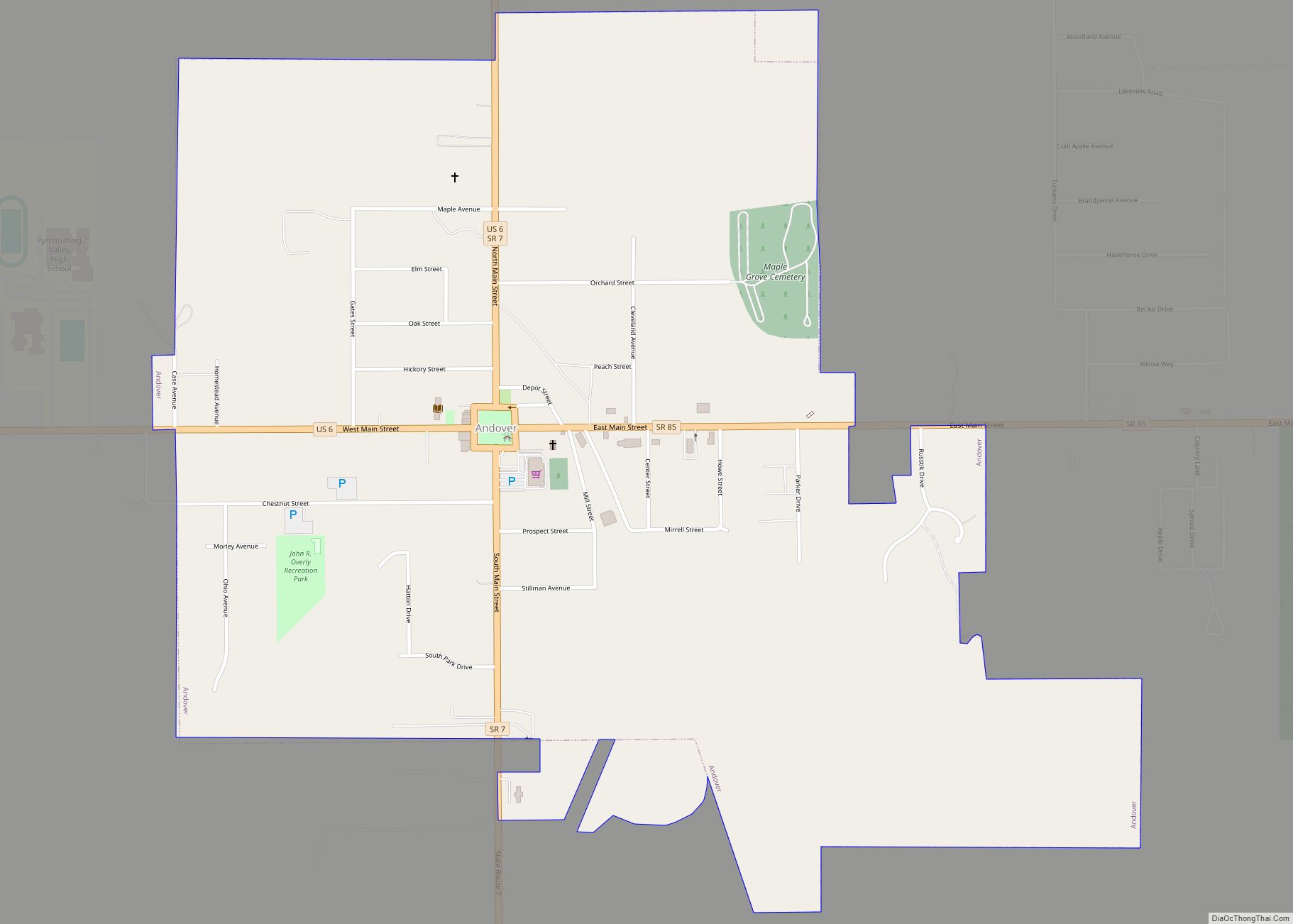
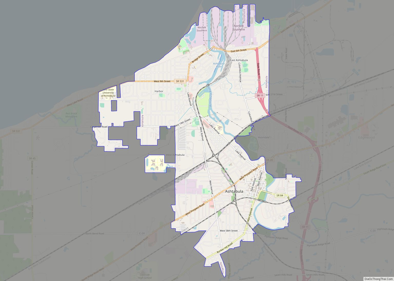
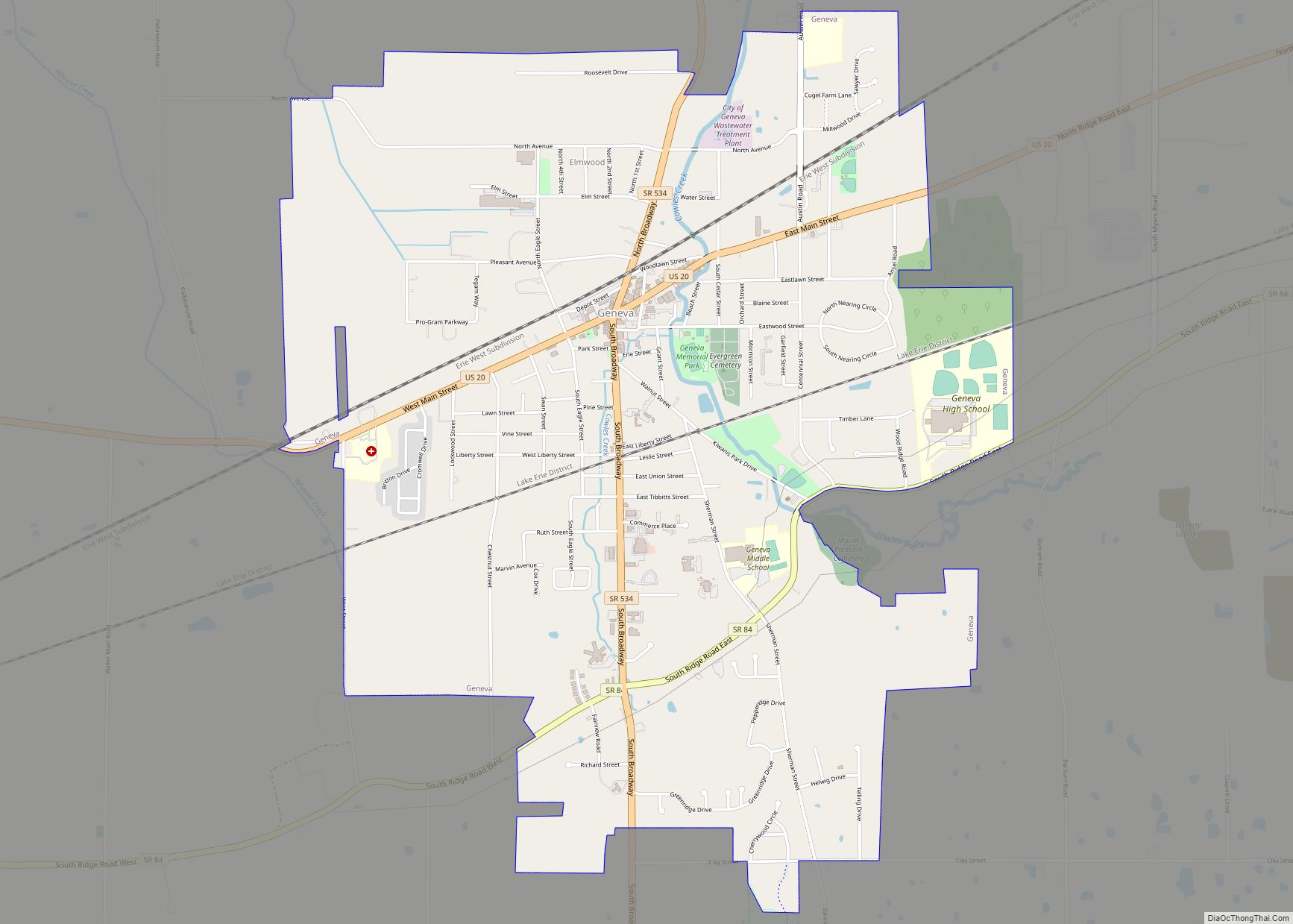
Online Interactive Map
Click on ![]() to view map in "full screen" mode.
to view map in "full screen" mode.
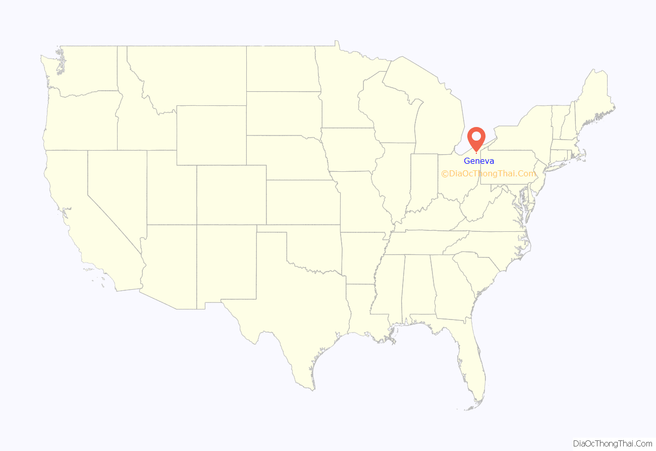
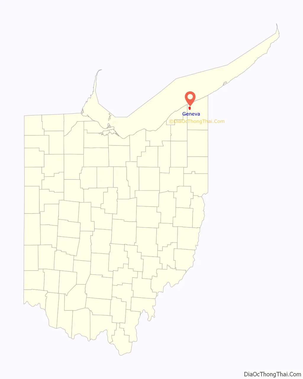
Geneva location map. Where is Geneva city?
History
The area which would eventually be Geneva was first settled in 1805 by a handful of settlers from Charlotte, New York. In 1806, settlers from Harpersfield, New York arrived and established Harpersfield Township, which included the present-day townships of Geneva, Trumbull and Hartsgrove. However, in 1816, citizens of Harpersfield decided to withdraw from the township and form their own township, which then became Geneva Township, named after Geneva, New York. In 1866, the town of Geneva then became a village, and, nearly one hundred years later, in 1958, Geneva was incorporated as a city.
Geneva Road Map
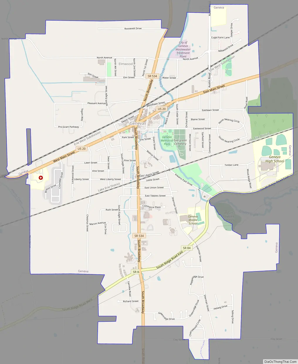
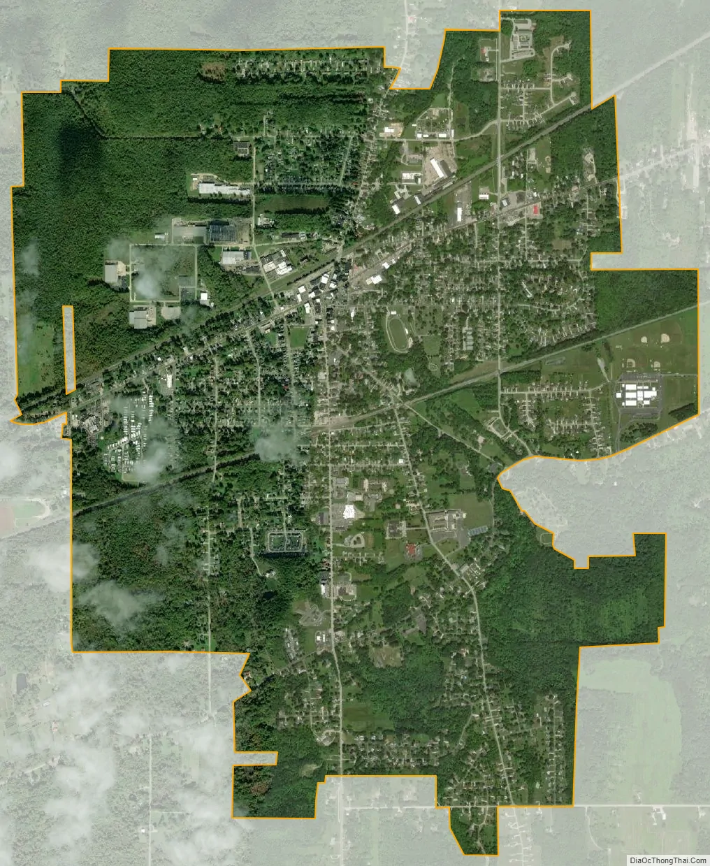
Geneva city Satellite Map
Geography
Geneva is located 45 miles (72 km) east of Cleveland and 55 miles (89 km) west of Erie, Pennsylvania.
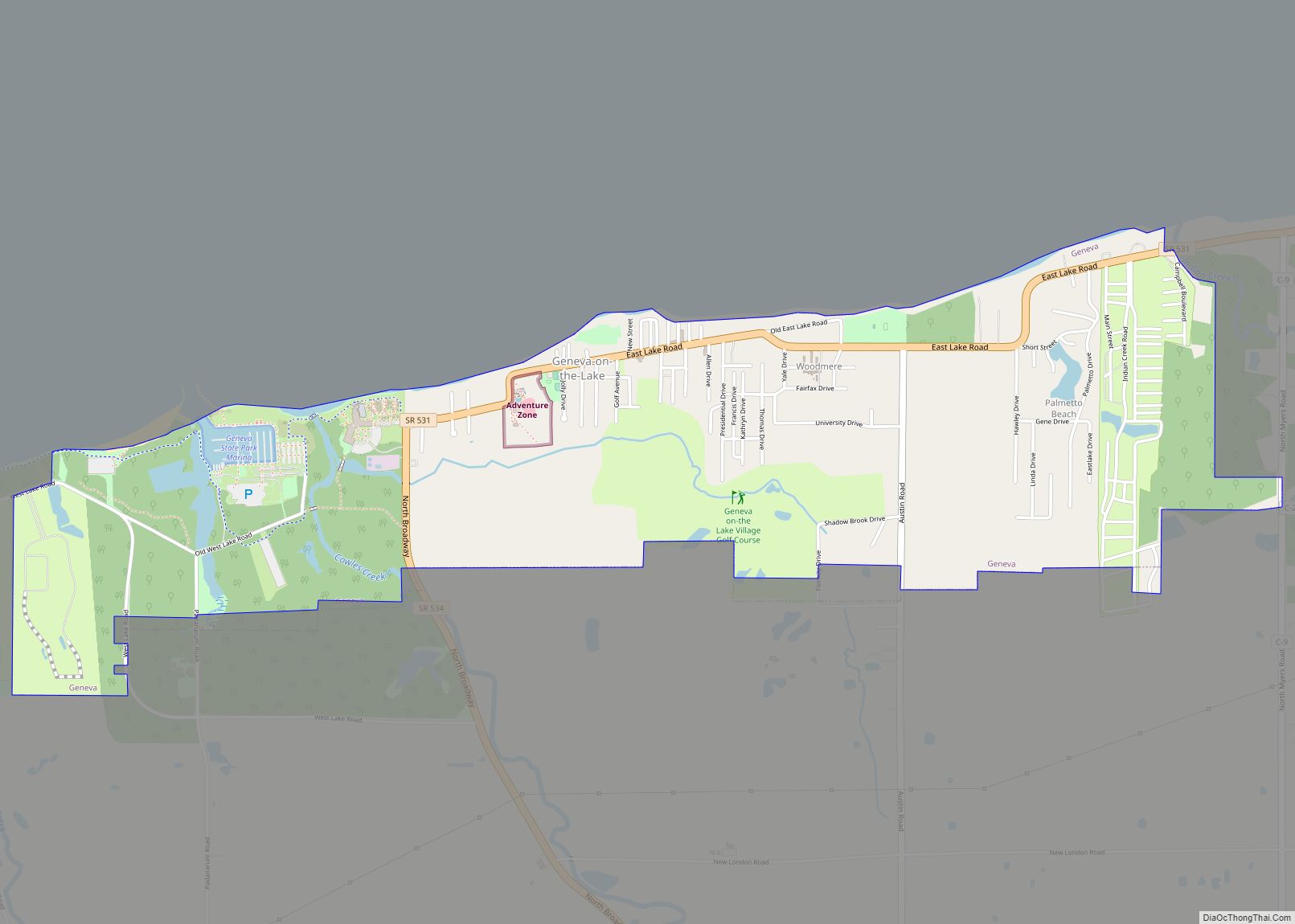
The city is bordered to the north, east and west by Geneva Township and by Harpersfield Township to the south. The Grand River flows around Geneva to the south in Harpersfield and to the west in Lake County. The Geneva State Park is located to the north of the city (within Geneva Township).
According to the United States Census Bureau, the city has a total area of 4.14 square miles (10.72 km), all land.
See also
Map of Ohio State and its subdivision:- Adams
- Allen
- Ashland
- Ashtabula
- Athens
- Auglaize
- Belmont
- Brown
- Butler
- Carroll
- Champaign
- Clark
- Clermont
- Clinton
- Columbiana
- Coshocton
- Crawford
- Cuyahoga
- Darke
- Defiance
- Delaware
- Erie
- Fairfield
- Fayette
- Franklin
- Fulton
- Gallia
- Geauga
- Greene
- Guernsey
- Hamilton
- Hancock
- Hardin
- Harrison
- Henry
- Highland
- Hocking
- Holmes
- Huron
- Jackson
- Jefferson
- Knox
- Lake
- Lake Erie
- Lawrence
- Licking
- Logan
- Lorain
- Lucas
- Madison
- Mahoning
- Marion
- Medina
- Meigs
- Mercer
- Miami
- Monroe
- Montgomery
- Morgan
- Morrow
- Muskingum
- Noble
- Ottawa
- Paulding
- Perry
- Pickaway
- Pike
- Portage
- Preble
- Putnam
- Richland
- Ross
- Sandusky
- Scioto
- Seneca
- Shelby
- Stark
- Summit
- Trumbull
- Tuscarawas
- Union
- Van Wert
- Vinton
- Warren
- Washington
- Wayne
- Williams
- Wood
- Wyandot
- Alabama
- Alaska
- Arizona
- Arkansas
- California
- Colorado
- Connecticut
- Delaware
- District of Columbia
- Florida
- Georgia
- Hawaii
- Idaho
- Illinois
- Indiana
- Iowa
- Kansas
- Kentucky
- Louisiana
- Maine
- Maryland
- Massachusetts
- Michigan
- Minnesota
- Mississippi
- Missouri
- Montana
- Nebraska
- Nevada
- New Hampshire
- New Jersey
- New Mexico
- New York
- North Carolina
- North Dakota
- Ohio
- Oklahoma
- Oregon
- Pennsylvania
- Rhode Island
- South Carolina
- South Dakota
- Tennessee
- Texas
- Utah
- Vermont
- Virginia
- Washington
- West Virginia
- Wisconsin
- Wyoming