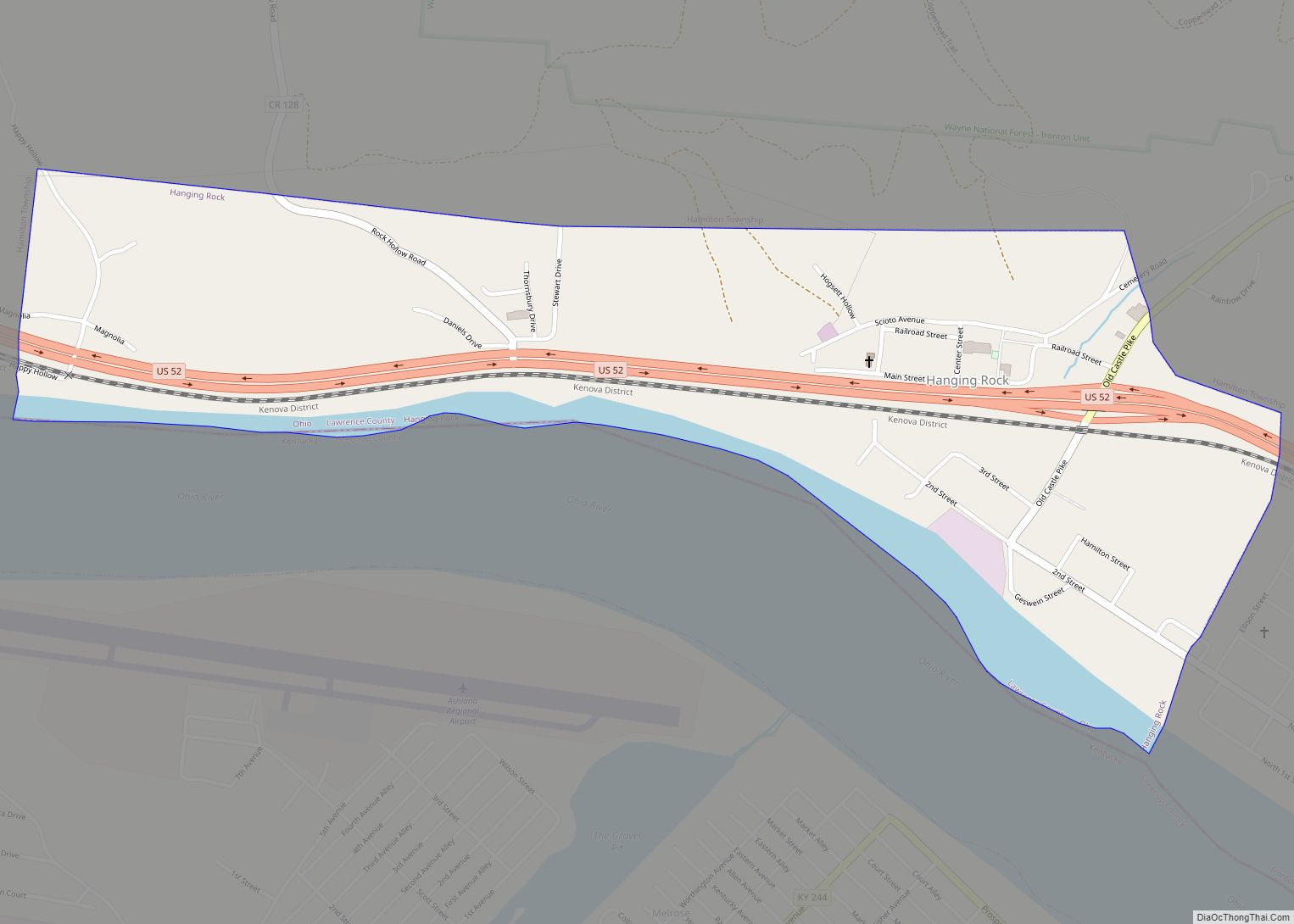
Hanging Rock is a village in Lawrence County, Ohio, United States, along the Ohio River. The population was 221 at the 2010 census. It is regularly labeled a speed trap; the village earned revenues of $109,186 in mayor’s court receipts in 2000, compared with $3,106 in property taxes.
Hanging Rock is a part of the Huntington–Ashland, WV–KY–OH, Metropolitan Statistical Area (MSA); it had a population of 288,649 at the 2000 census.
| Name: | Hanging Rock village |
|---|---|
| LSAD Code: | 47 |
| LSAD Description: | village (suffix) |
| State: | Ohio |
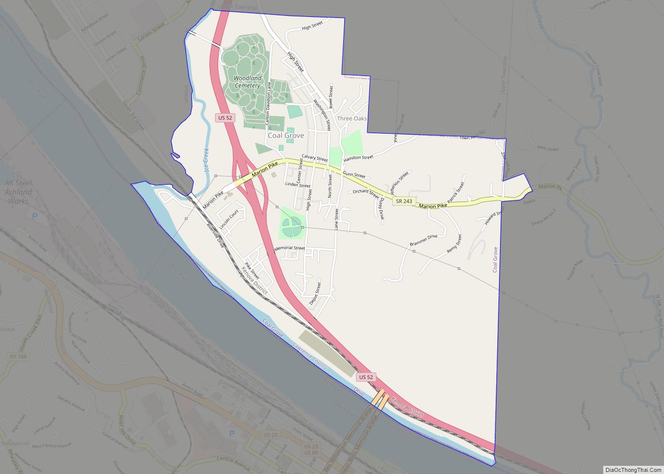
| County: | Lawrence County |
| Elevation: | 541 ft (165 m) |
| Total Area: | 0.64 sq mi (1.66 km²) |
| Land Area: | 0.56 sq mi (1.44 km²) |
| Water Area: | 0.08 sq mi (0.22 km²) |
| Total Population: | 204 |
| Population Density: | 366.91/sq mi (141.57/km²) |
| ZIP code: | 45638 |
| Area code: | 740 |
| FIPS code: | 3933194 |
| GNISfeature ID: | 1075994 |
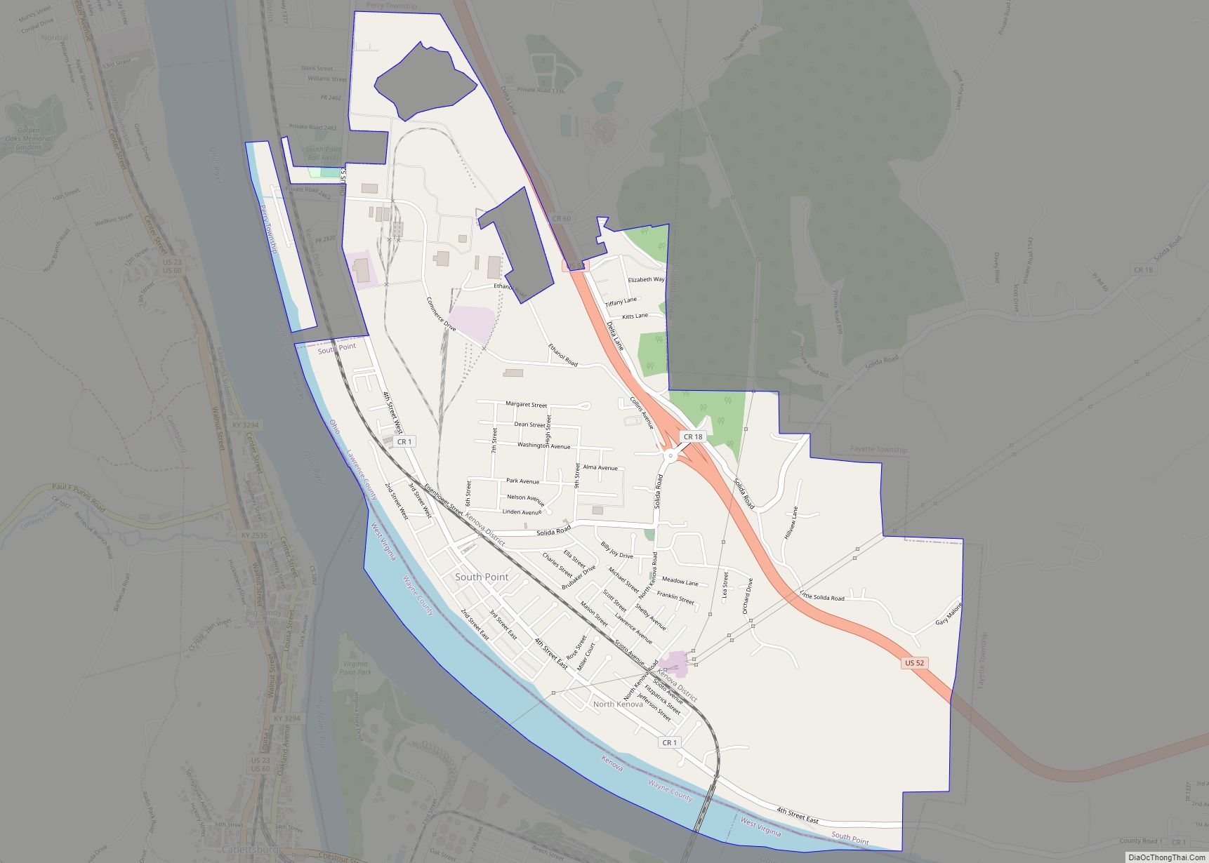
Online Interactive Map
Click on ![]() to view map in "full screen" mode.
to view map in "full screen" mode.
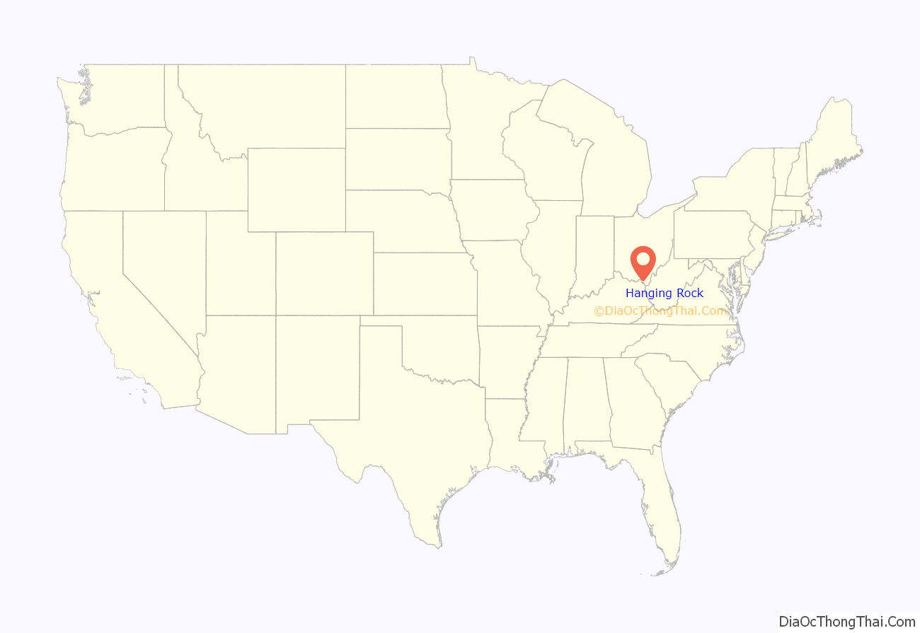
Hanging Rock location map. Where is Hanging Rock village?
History
Hanging Rock had its start in 1820 when European Americans built a blast furnace at the site. Village development followed as workers came to the furnace. The village takes its name from a nearby cliff. The village reached its peak population in 1890. Industrial changes reduced the need for labor, and people gradually left for work elsewhere.
Hanging Rock Road Map
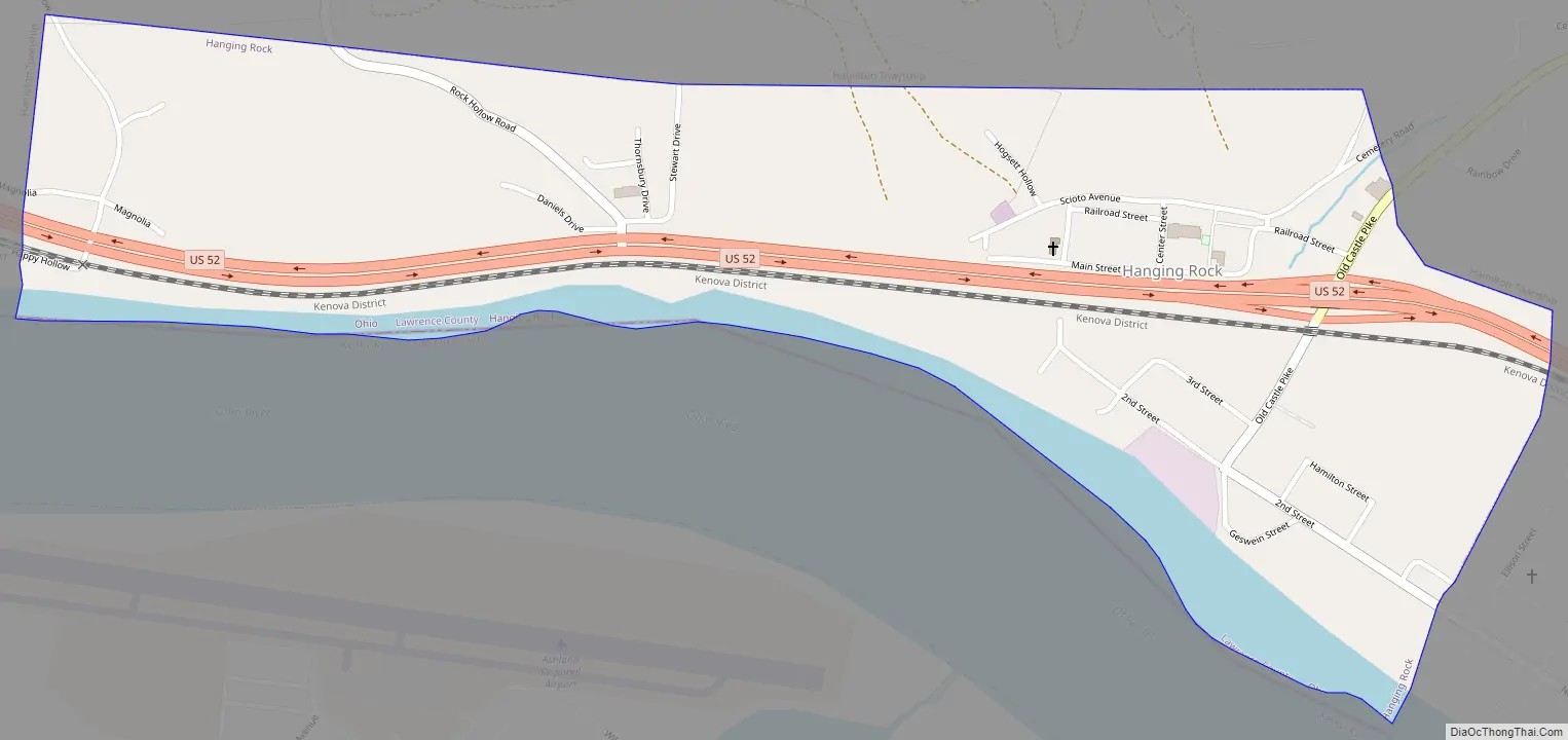
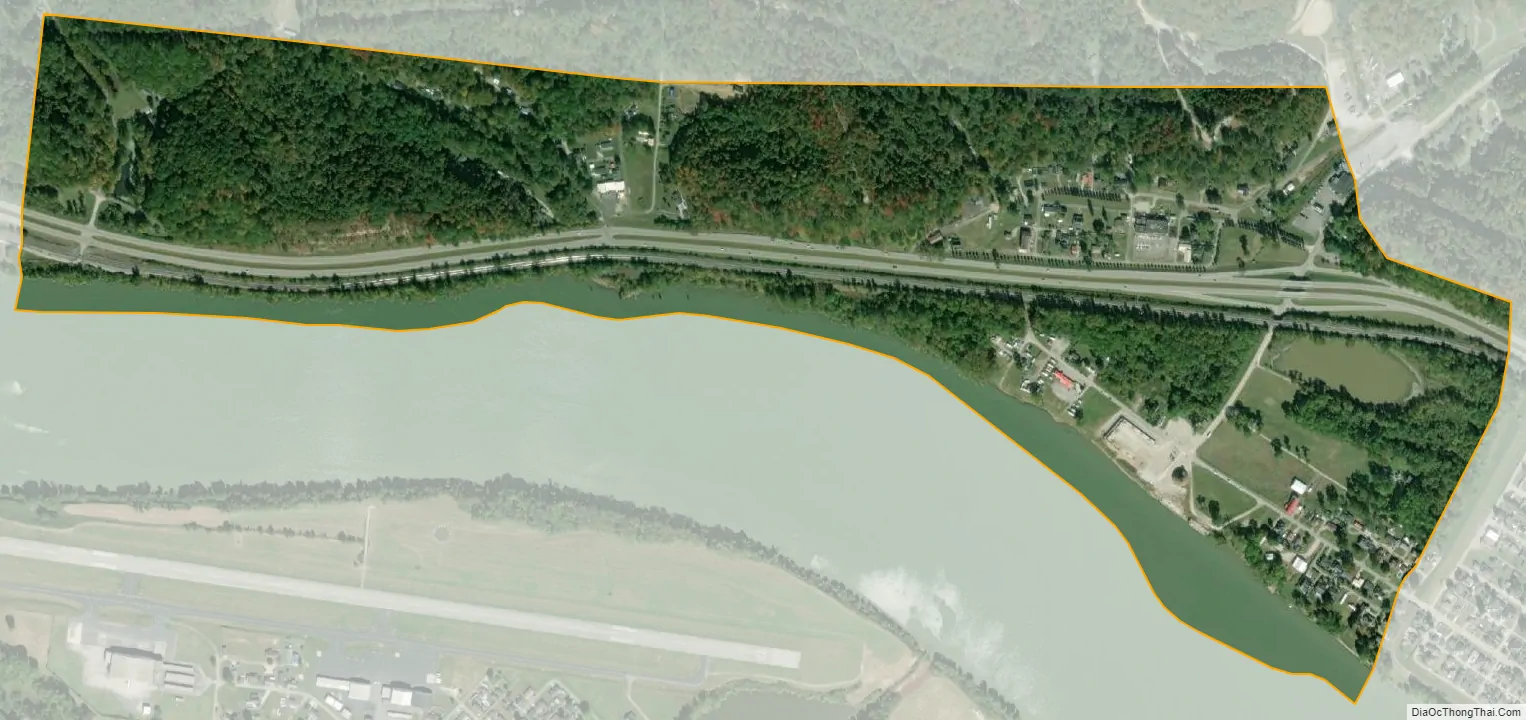
Hanging Rock city Satellite Map
Geography
Hanging Rock is located at 38°33′32″N 82°43′34″W / 38.55889°N 82.72611°W / 38.55889; -82.72611 (38.559021, -82.726070).
According to the United States Census Bureau, the village has a total area of 0.65 square miles (1.68 km), of which 0.56 square miles (1.45 km) is land and 0.09 square miles (0.23 km) is water.
The Hanging Rock Recreational Area and the Hanging Rock Ponds are located near the village.
See also
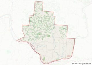
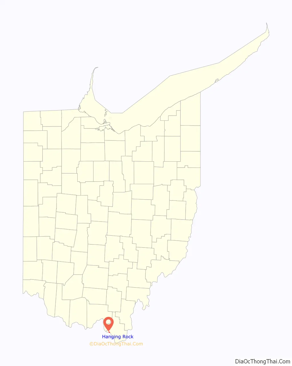
Map of Ohio State and its subdivision:- Adams
- Allen
- Ashland
- Ashtabula
- Athens
- Auglaize
- Belmont
- Brown
- Butler
- Carroll
- Champaign
- Clark
- Clermont
- Clinton
- Columbiana
- Coshocton
- Crawford
- Cuyahoga
- Darke
- Defiance
- Delaware
- Erie
- Fairfield
- Fayette
- Franklin
- Fulton
- Gallia
- Geauga
- Greene
- Guernsey
- Hamilton
- Hancock
- Hardin
- Harrison
- Henry
- Highland
- Hocking
- Holmes
- Huron
- Jackson
- Jefferson
- Knox
- Lake
- Lake Erie
- Lawrence
- Licking
- Logan
- Lorain
- Lucas
- Madison
- Mahoning
- Marion
- Medina
- Meigs
- Mercer
- Miami
- Monroe
- Montgomery
- Morgan
- Morrow
- Muskingum
- Noble
- Ottawa
- Paulding
- Perry
- Pickaway
- Pike
- Portage
- Preble
- Putnam
- Richland
- Ross
- Sandusky
- Scioto
- Seneca
- Shelby
- Stark
- Summit
- Trumbull
- Tuscarawas
- Union
- Van Wert
- Vinton
- Warren
- Washington
- Wayne
- Williams
- Wood
- Wyandot
- Alabama
- Alaska
- Arizona
- Arkansas
- California
- Colorado
- Connecticut
- Delaware
- District of Columbia
- Florida
- Georgia
- Hawaii
- Idaho
- Illinois
- Indiana
- Iowa
- Kansas
- Kentucky
- Louisiana
- Maine
- Maryland
- Massachusetts
- Michigan
- Minnesota
- Mississippi
- Missouri
- Montana
- Nebraska
- Nevada
- New Hampshire
- New Jersey
- New Mexico
- New York
- North Carolina
- North Dakota
- Ohio
- Oklahoma
- Oregon
- Pennsylvania
- Rhode Island
- South Carolina
- South Dakota
- Tennessee
- Texas
- Utah
- Vermont
- Virginia
- Washington
- West Virginia
- Wisconsin
- Wyoming