Huber Heights is a city in Montgomery and Miami counties in the U.S. state of Ohio. It is a suburb of Dayton, and is the third largest suburb in the Dayton Metropolitan Statistical Area by population, behind Kettering with 57,862, and Beavercreek with 46,549. The population of Huber Heights was 43,439 at the 2020 census. This was a 14% increase since the 2010 census, making it the largest growth in Montgomery County in the last decade.
| Name: | Huber Heights city |
|---|---|
| LSAD Code: | 25 |
| LSAD Description: | city (suffix) |
| State: | Ohio |
| County: | Greene County, Miami County, Montgomery County |
| Incorporated: | January 23, 1981 |
| Elevation: | 932 ft (284 m) |
| Total Area: | 22.37 sq mi (57.94 km²) |
| Land Area: | 22.20 sq mi (57.50 km²) |
| Water Area: | 0.17 sq mi (0.44 km²) |
| Total Population: | 43,439 |
| Population Density: | 1,956.62/sq mi (755.45/km²) |
| ZIP code: | 45424 |
| Area code: | 937, 326 |
| FIPS code: | 3936610 |
| GNISfeature ID: | 1048856 |
| Website: | www.hhoh.org |
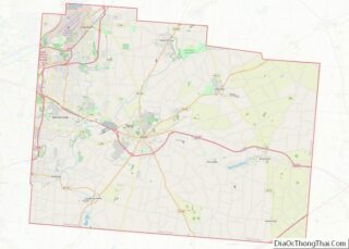
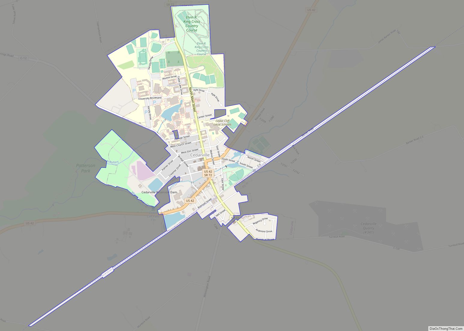
Online Interactive Map
Click on ![]() to view map in "full screen" mode.
to view map in "full screen" mode.
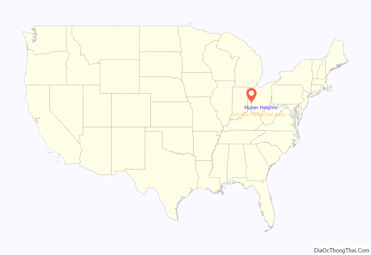
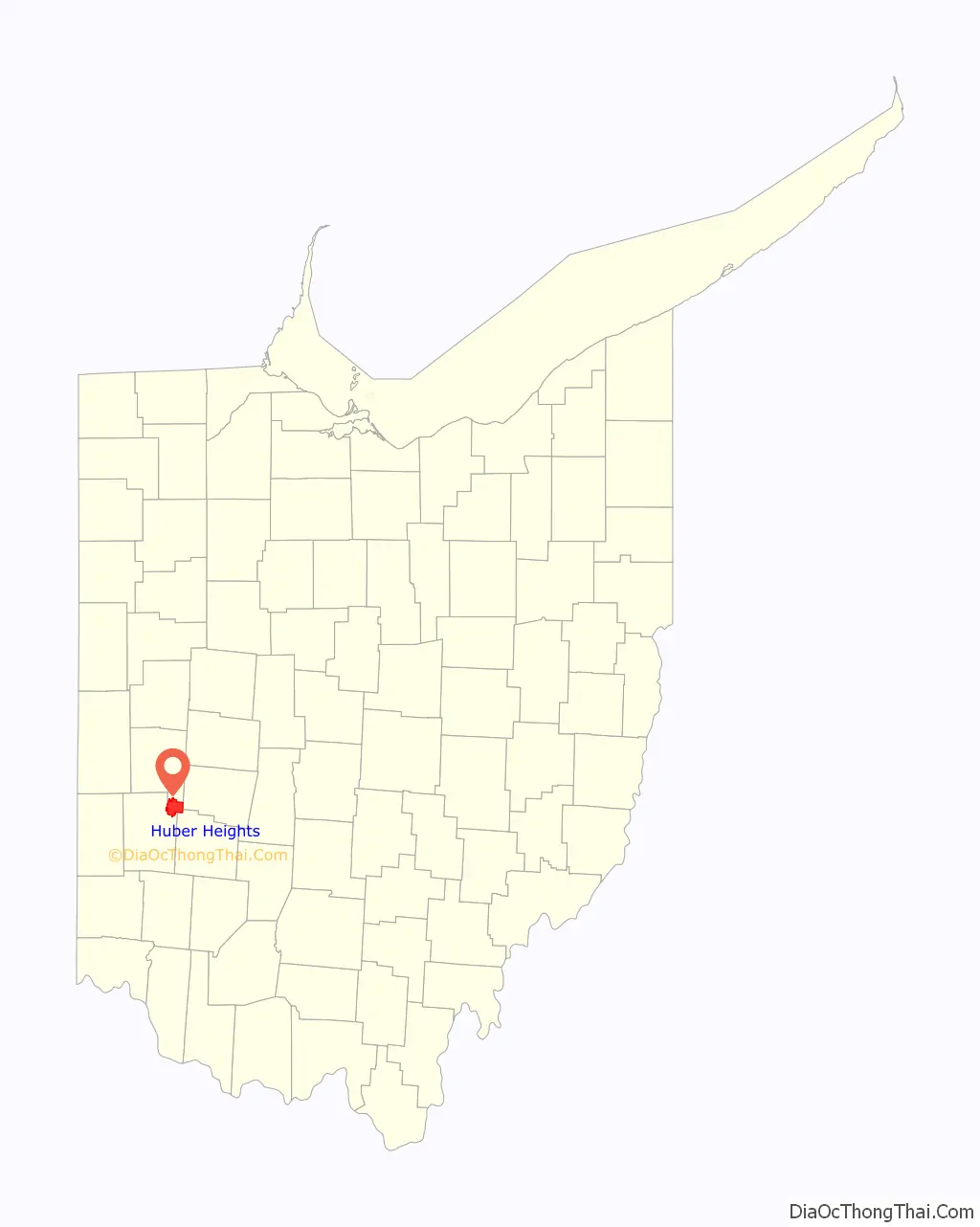
Huber Heights location map. Where is Huber Heights city?
History
Hubert Heights’ origins trace back to the now-defunct Wayne Township, which was settled in the early-mid 1800s. Wayne Township was incorporated as the City of Huber Heights on January 23, 1981. The city is named for Charles Huber, the developer who constructed a number of the houses that would later constitute the city. Suburban development began in the area in 1956. Huber Heights continued to grow by annexing parcels in Miami County.
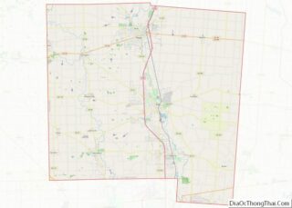
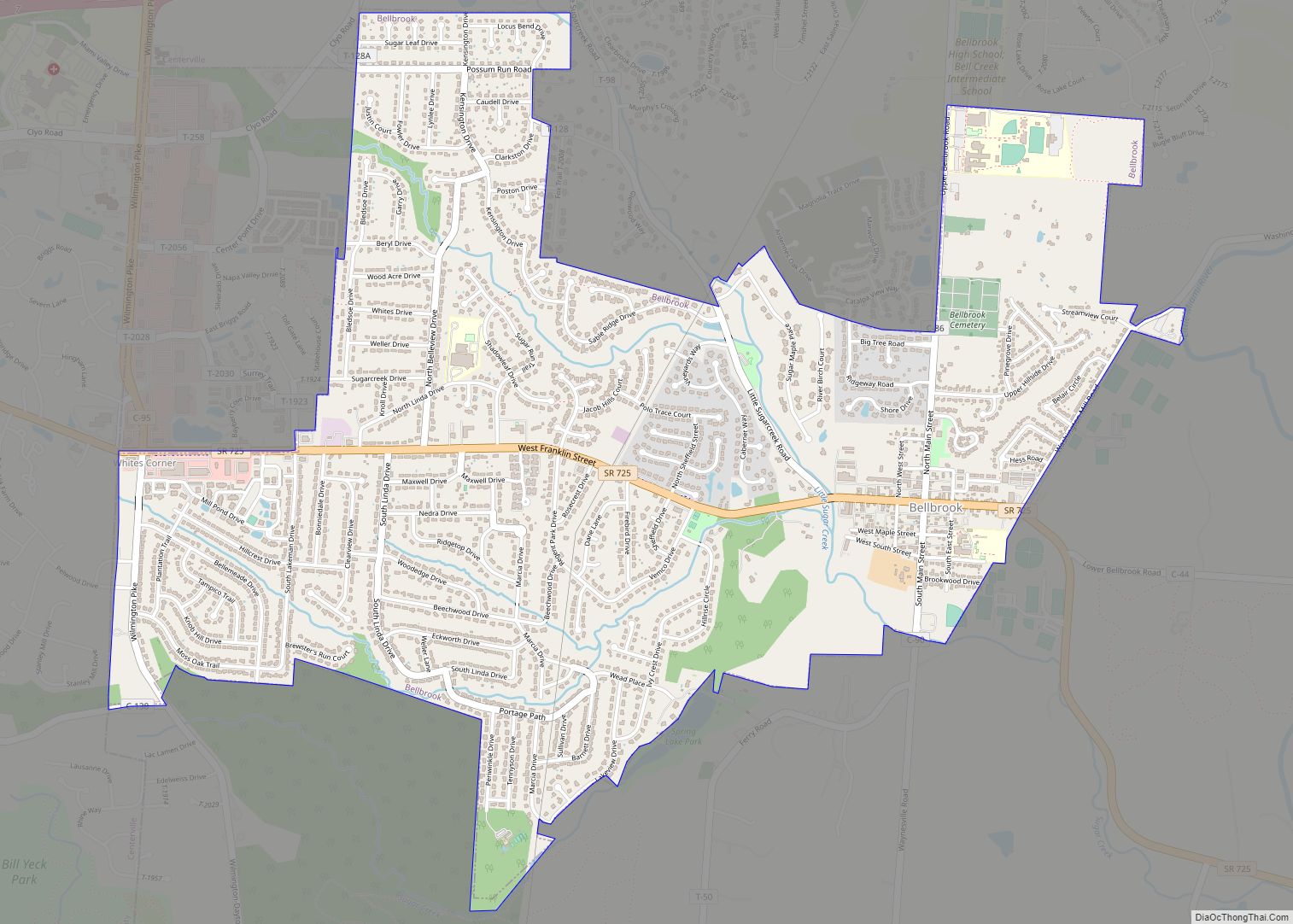
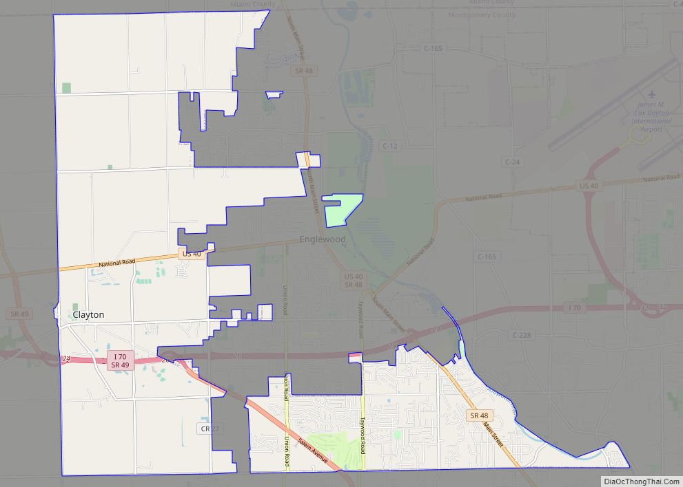
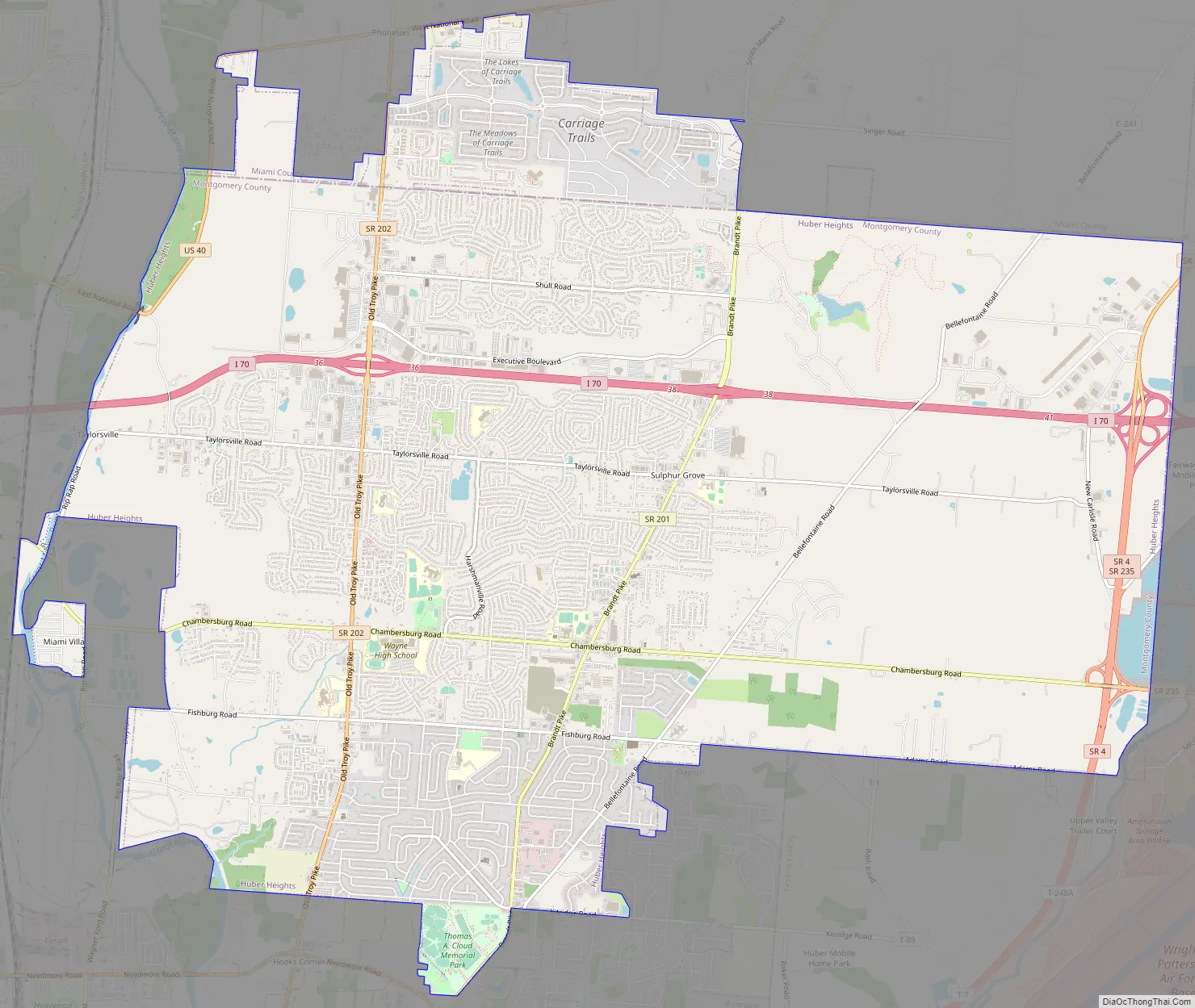
Huber Heights Road Map
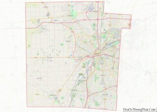
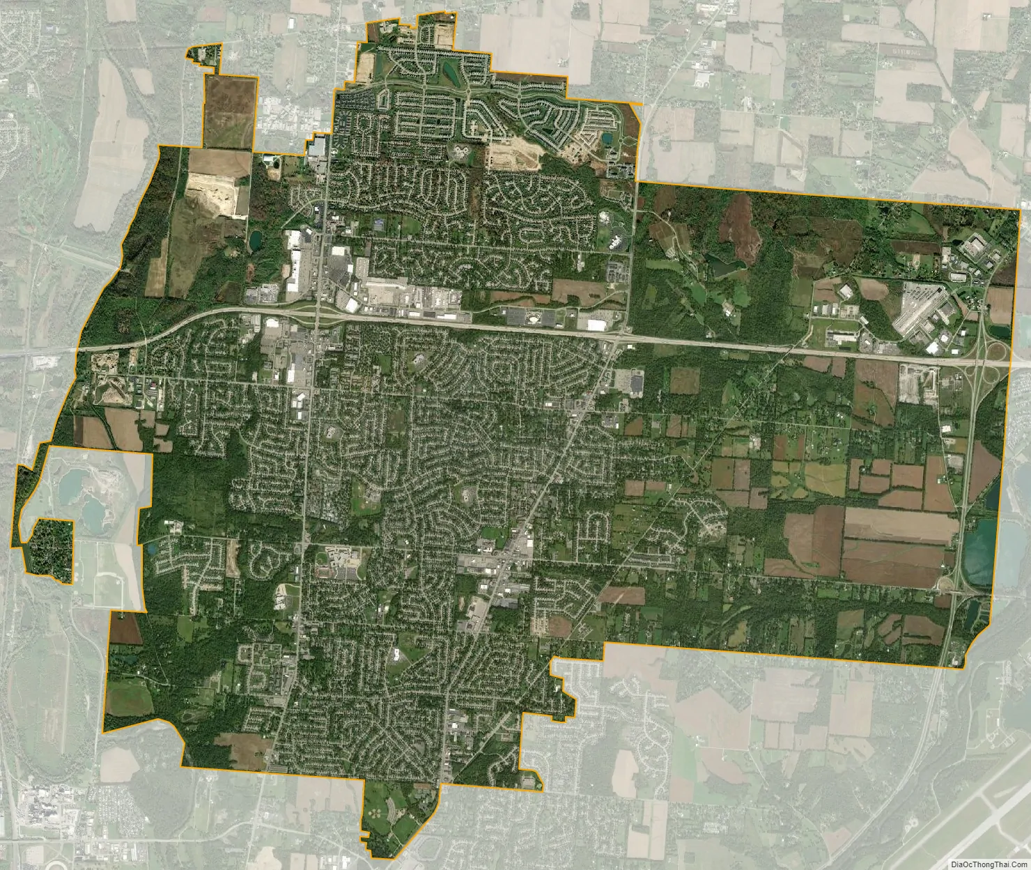
Huber Heights city Satellite Map
Geography
Most of Huber Heights is in Montgomery County, while the city has more recently annexed land in Miami County. One small parcel of the city was located in Greene County, but it was detached from the city in 2013.
According to the United States Census Bureau, the city has a total area of 22.37 square miles (57.94 km), of which 22.27 square miles (57.68 km) is land and 0.10 square miles (0.26 km) is water.
See also
Map of Ohio State and its subdivision:- Adams
- Allen
- Ashland
- Ashtabula
- Athens
- Auglaize
- Belmont
- Brown
- Butler
- Carroll
- Champaign
- Clark
- Clermont
- Clinton
- Columbiana
- Coshocton
- Crawford
- Cuyahoga
- Darke
- Defiance
- Delaware
- Erie
- Fairfield
- Fayette
- Franklin
- Fulton
- Gallia
- Geauga
- Greene
- Guernsey
- Hamilton
- Hancock
- Hardin
- Harrison
- Henry
- Highland
- Hocking
- Holmes
- Huron
- Jackson
- Jefferson
- Knox
- Lake
- Lake Erie
- Lawrence
- Licking
- Logan
- Lorain
- Lucas
- Madison
- Mahoning
- Marion
- Medina
- Meigs
- Mercer
- Miami
- Monroe
- Montgomery
- Morgan
- Morrow
- Muskingum
- Noble
- Ottawa
- Paulding
- Perry
- Pickaway
- Pike
- Portage
- Preble
- Putnam
- Richland
- Ross
- Sandusky
- Scioto
- Seneca
- Shelby
- Stark
- Summit
- Trumbull
- Tuscarawas
- Union
- Van Wert
- Vinton
- Warren
- Washington
- Wayne
- Williams
- Wood
- Wyandot
- Alabama
- Alaska
- Arizona
- Arkansas
- California
- Colorado
- Connecticut
- Delaware
- District of Columbia
- Florida
- Georgia
- Hawaii
- Idaho
- Illinois
- Indiana
- Iowa
- Kansas
- Kentucky
- Louisiana
- Maine
- Maryland
- Massachusetts
- Michigan
- Minnesota
- Mississippi
- Missouri
- Montana
- Nebraska
- Nevada
- New Hampshire
- New Jersey
- New Mexico
- New York
- North Carolina
- North Dakota
- Ohio
- Oklahoma
- Oregon
- Pennsylvania
- Rhode Island
- South Carolina
- South Dakota
- Tennessee
- Texas
- Utah
- Vermont
- Virginia
- Washington
- West Virginia
- Wisconsin
- Wyoming