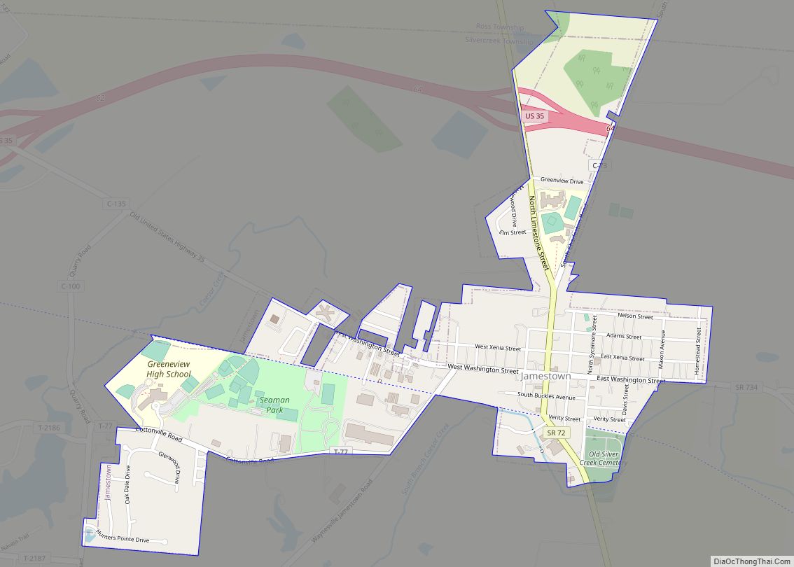
Jamestown is a village in Greene County, Ohio, United States. The population was 1,993 at the 2010 census. Joshua Bradley is the current mayor.
Jamestown is part of the Dayton Metropolitan Statistical Area.
| Name: | Jamestown village |
|---|---|
| LSAD Code: | 47 |
| LSAD Description: | village (suffix) |
| State: | Ohio |
| County: | Greene County |
| Elevation: | 1,060 ft (320 m) |
| Total Area: | 1.17 sq mi (3.03 km²) |
| Land Area: | 1.17 sq mi (3.02 km²) |
| Water Area: | 0.00 sq mi (0.01 km²) |
| Total Population: | 2,052 |
| Population Density: | 1,761.37/sq mi (680.17/km²) |
| ZIP code: | 45335 |
| Area code: | 937, 326 |
| FIPS code: | 3938374 |
| GNISfeature ID: | 1064900 |
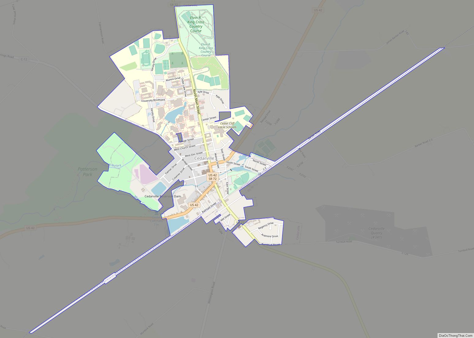
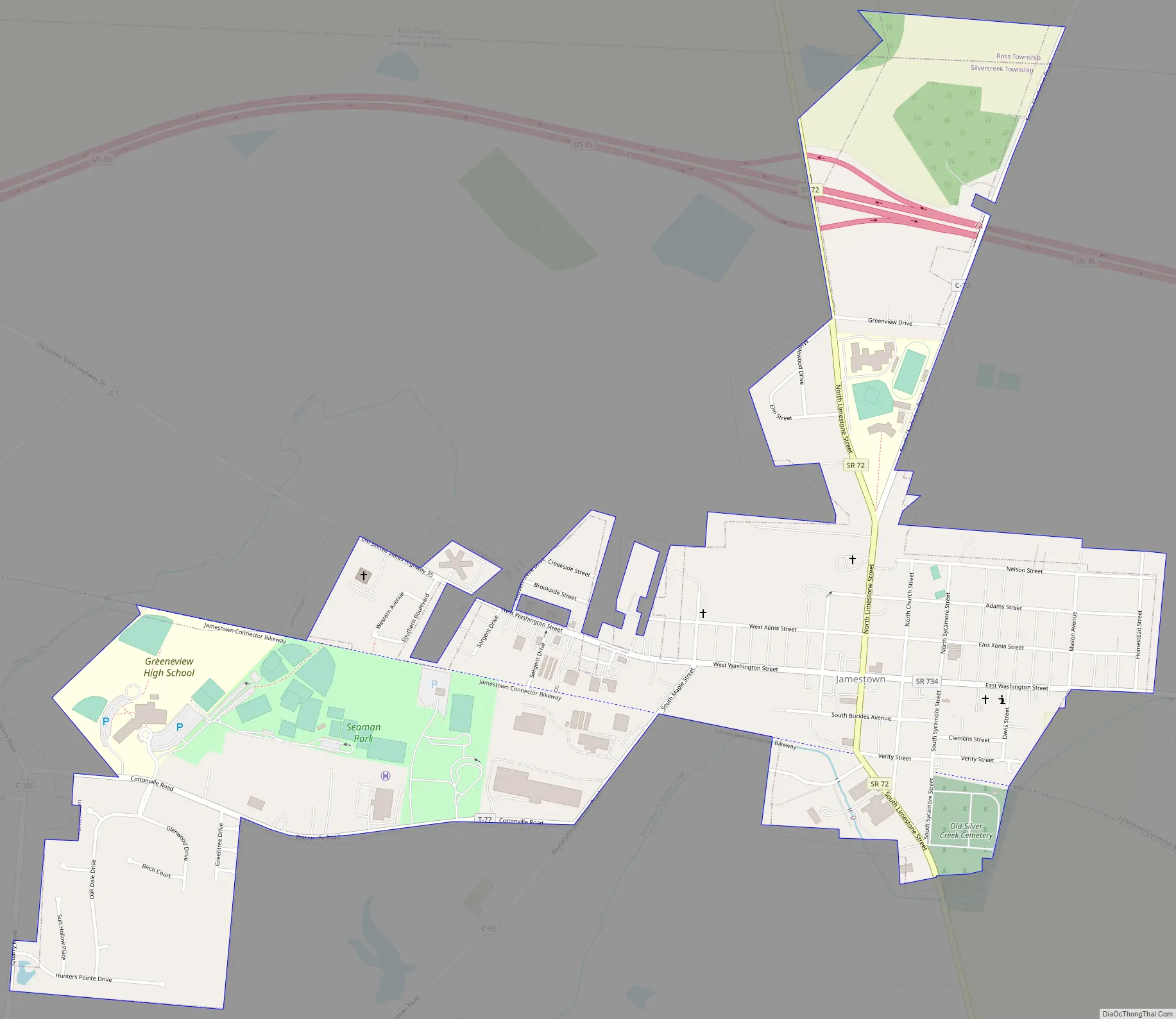
Online Interactive Map
Click on ![]() to view map in "full screen" mode.
to view map in "full screen" mode.
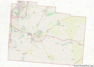
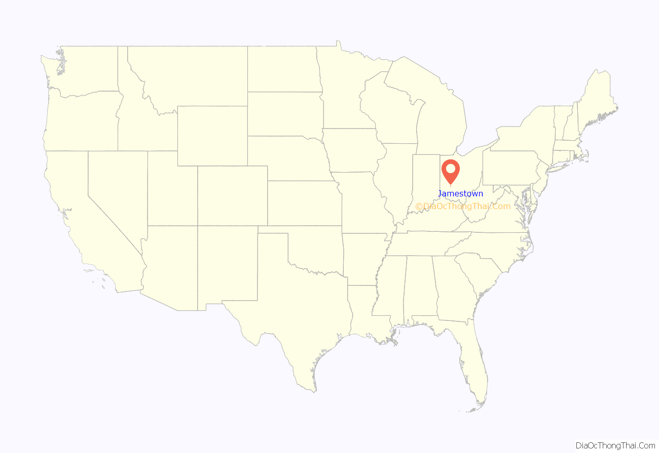
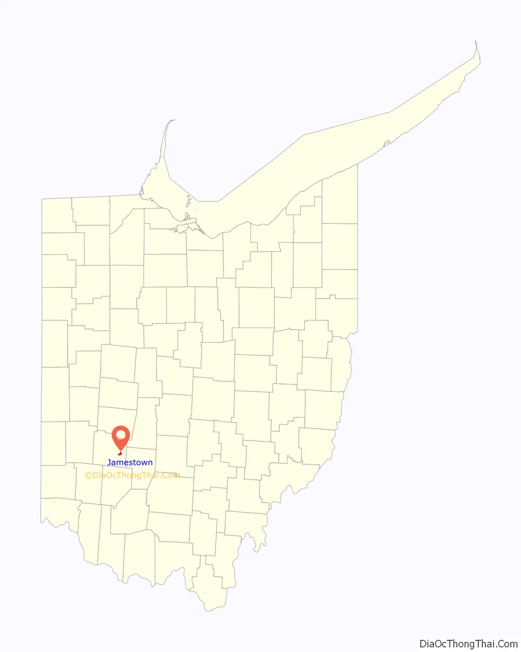
Jamestown location map. Where is Jamestown village?
History
Jamestown was platted in 1816, and named after Jamestown, Virginia, the native home of a first settler.
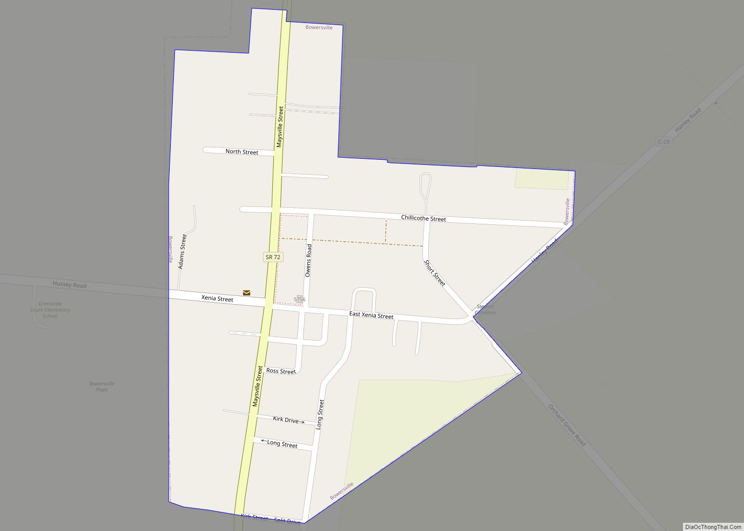
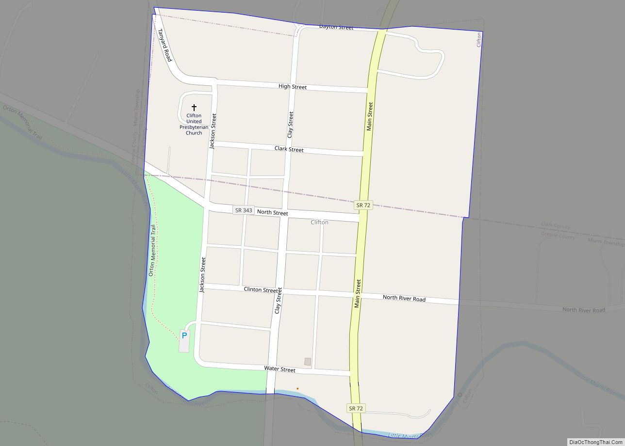
Jamestown Road Map
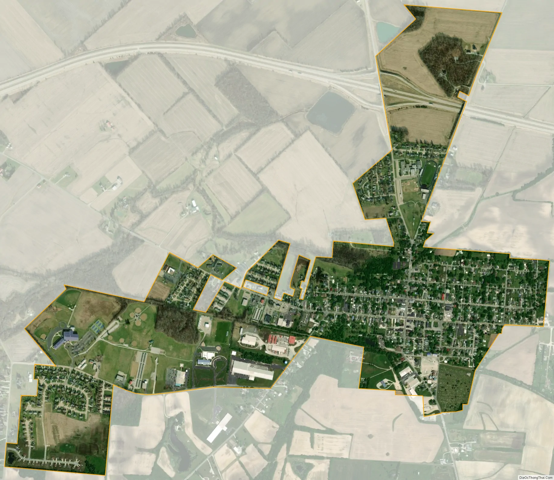
Jamestown city Satellite Map
Geography
Jamestown is located at 39°39′31″N 83°44′18″W / 39.65861°N 83.73833°W / 39.65861; -83.73833 (39.658604, -83.738453). Parts of Jamestown are located in Silvercreek, Ross, and New Jasper Townships.
According to the United States Census Bureau, the village has a total area of 1.21 square miles (3.13 km), all of it land.
Jamestown is located south of U.S. Route 35 on State Route 72. It is east of Lake Shawnee.
See also
Map of Ohio State and its subdivision:- Adams
- Allen
- Ashland
- Ashtabula
- Athens
- Auglaize
- Belmont
- Brown
- Butler
- Carroll
- Champaign
- Clark
- Clermont
- Clinton
- Columbiana
- Coshocton
- Crawford
- Cuyahoga
- Darke
- Defiance
- Delaware
- Erie
- Fairfield
- Fayette
- Franklin
- Fulton
- Gallia
- Geauga
- Greene
- Guernsey
- Hamilton
- Hancock
- Hardin
- Harrison
- Henry
- Highland
- Hocking
- Holmes
- Huron
- Jackson
- Jefferson
- Knox
- Lake
- Lake Erie
- Lawrence
- Licking
- Logan
- Lorain
- Lucas
- Madison
- Mahoning
- Marion
- Medina
- Meigs
- Mercer
- Miami
- Monroe
- Montgomery
- Morgan
- Morrow
- Muskingum
- Noble
- Ottawa
- Paulding
- Perry
- Pickaway
- Pike
- Portage
- Preble
- Putnam
- Richland
- Ross
- Sandusky
- Scioto
- Seneca
- Shelby
- Stark
- Summit
- Trumbull
- Tuscarawas
- Union
- Van Wert
- Vinton
- Warren
- Washington
- Wayne
- Williams
- Wood
- Wyandot
- Alabama
- Alaska
- Arizona
- Arkansas
- California
- Colorado
- Connecticut
- Delaware
- District of Columbia
- Florida
- Georgia
- Hawaii
- Idaho
- Illinois
- Indiana
- Iowa
- Kansas
- Kentucky
- Louisiana
- Maine
- Maryland
- Massachusetts
- Michigan
- Minnesota
- Mississippi
- Missouri
- Montana
- Nebraska
- Nevada
- New Hampshire
- New Jersey
- New Mexico
- New York
- North Carolina
- North Dakota
- Ohio
- Oklahoma
- Oregon
- Pennsylvania
- Rhode Island
- South Carolina
- South Dakota
- Tennessee
- Texas
- Utah
- Vermont
- Virginia
- Washington
- West Virginia
- Wisconsin
- Wyoming