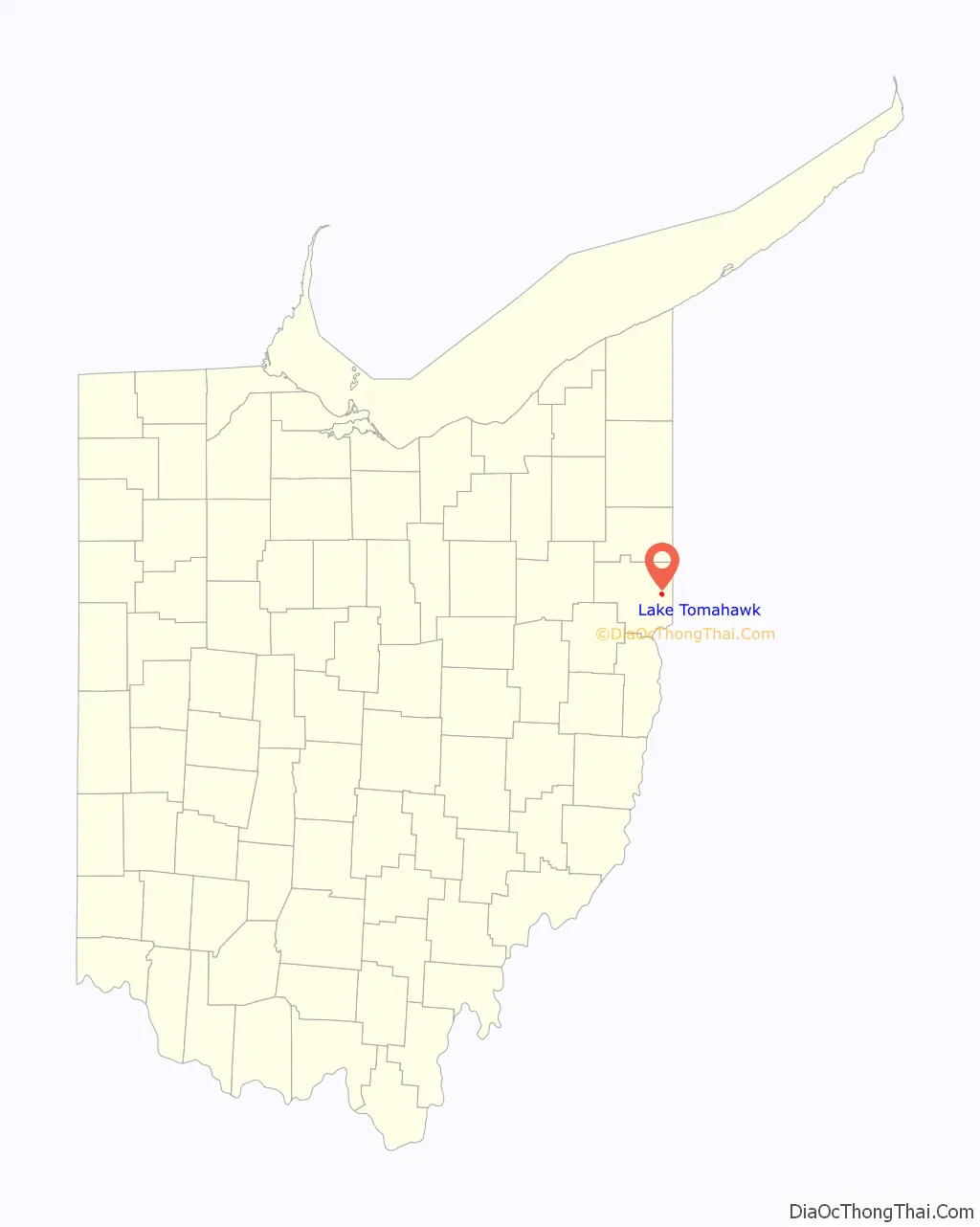
Lake Tomahawk is an unincorporated community and census-designated place in central Middleton Township, Columbiana County, Ohio, United States, surrounding the Lake Tomahawk reservoir. The population was 494 at the 2020 census. It is part of the Salem micropolitan area, 24 miles (39 km) south of Youngstown and 38 miles (61 km) northwest of Pittsburgh. Lake Tomahawk was established in 1966 by the American Realty Service Corporation as a private planned community.
| Name: | Lake Tomahawk CDP |
|---|---|
| LSAD Code: | 57 |
| LSAD Description: | CDP (suffix) |
| State: | Ohio |
| County: | Columbiana County |
| Elevation: | 1,181 ft (360 m) |
| Total Area: | 1.02 sq mi (2.65 km²) |
| Land Area: | 0.83 sq mi (2.14 km²) |
| Water Area: | 0.20 sq mi (0.51 km²) |
| Total Population: | 494 |
| Population Density: | 598.06/sq mi (230.90/km²) |
| ZIP code: | 44441 |
| Area code: | 330, 234 |
| FIPS code: | 3941597 |
| Website: | www.ltpoa.org |
Online Interactive Map
Click on ![]() to view map in "full screen" mode.
to view map in "full screen" mode.
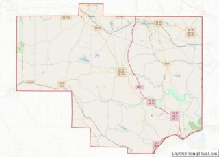
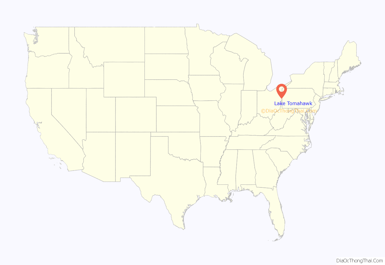
Lake Tomahawk location map. Where is Lake Tomahawk CDP?
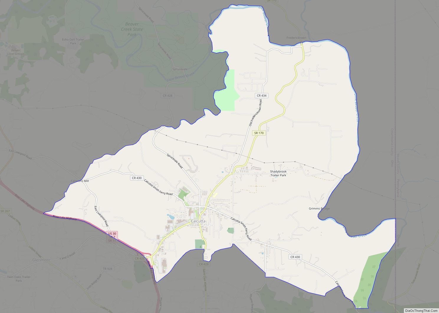
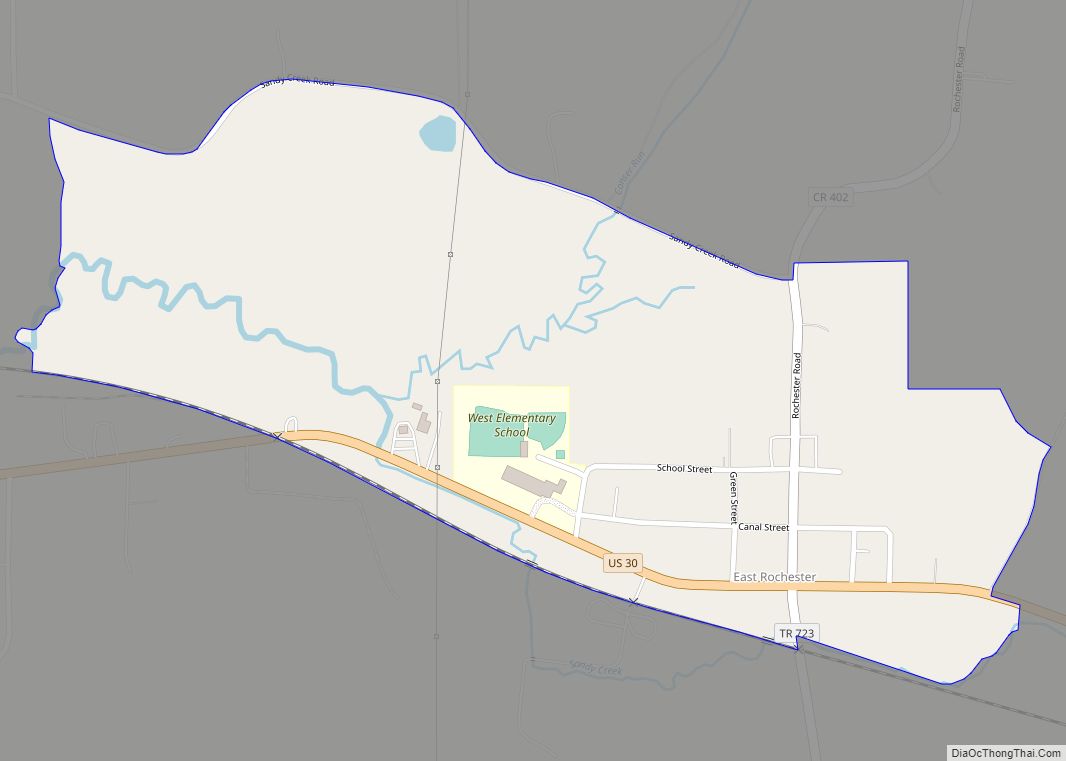
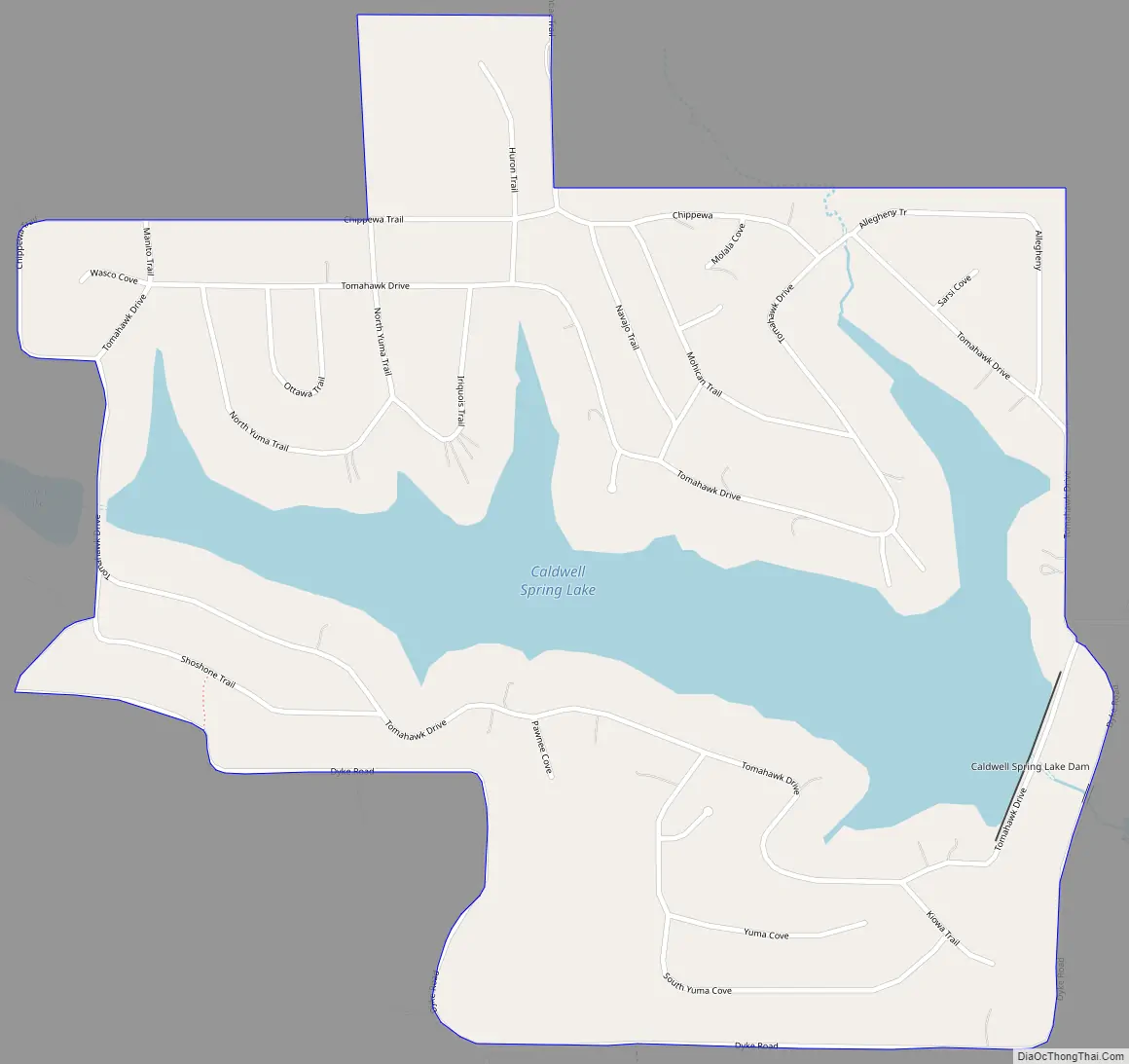
Lake Tomahawk Road Map
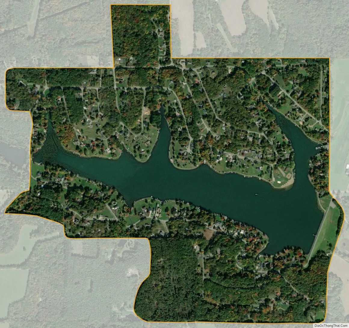
Lake Tomahawk city Satellite Map
Geography
Lake Tomahawk is located at 40°45′41″N 80°35′47″W / 40.76139°N 80.59639°W / 40.76139; -80.59639 (40.761389, -80.596389).
According to the United States Census Bureau, the CDP has a total area of 0.8 square miles (2.07 km).
See also
Map of Ohio State and its subdivision:- Adams
- Allen
- Ashland
- Ashtabula
- Athens
- Auglaize
- Belmont
- Brown
- Butler
- Carroll
- Champaign
- Clark
- Clermont
- Clinton
- Columbiana
- Coshocton
- Crawford
- Cuyahoga
- Darke
- Defiance
- Delaware
- Erie
- Fairfield
- Fayette
- Franklin
- Fulton
- Gallia
- Geauga
- Greene
- Guernsey
- Hamilton
- Hancock
- Hardin
- Harrison
- Henry
- Highland
- Hocking
- Holmes
- Huron
- Jackson
- Jefferson
- Knox
- Lake
- Lake Erie
- Lawrence
- Licking
- Logan
- Lorain
- Lucas
- Madison
- Mahoning
- Marion
- Medina
- Meigs
- Mercer
- Miami
- Monroe
- Montgomery
- Morgan
- Morrow
- Muskingum
- Noble
- Ottawa
- Paulding
- Perry
- Pickaway
- Pike
- Portage
- Preble
- Putnam
- Richland
- Ross
- Sandusky
- Scioto
- Seneca
- Shelby
- Stark
- Summit
- Trumbull
- Tuscarawas
- Union
- Van Wert
- Vinton
- Warren
- Washington
- Wayne
- Williams
- Wood
- Wyandot
- Alabama
- Alaska
- Arizona
- Arkansas
- California
- Colorado
- Connecticut
- Delaware
- District of Columbia
- Florida
- Georgia
- Hawaii
- Idaho
- Illinois
- Indiana
- Iowa
- Kansas
- Kentucky
- Louisiana
- Maine
- Maryland
- Massachusetts
- Michigan
- Minnesota
- Mississippi
- Missouri
- Montana
- Nebraska
- Nevada
- New Hampshire
- New Jersey
- New Mexico
- New York
- North Carolina
- North Dakota
- Ohio
- Oklahoma
- Oregon
- Pennsylvania
- Rhode Island
- South Carolina
- South Dakota
- Tennessee
- Texas
- Utah
- Vermont
- Virginia
- Washington
- West Virginia
- Wisconsin
- Wyoming