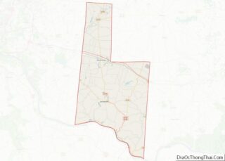
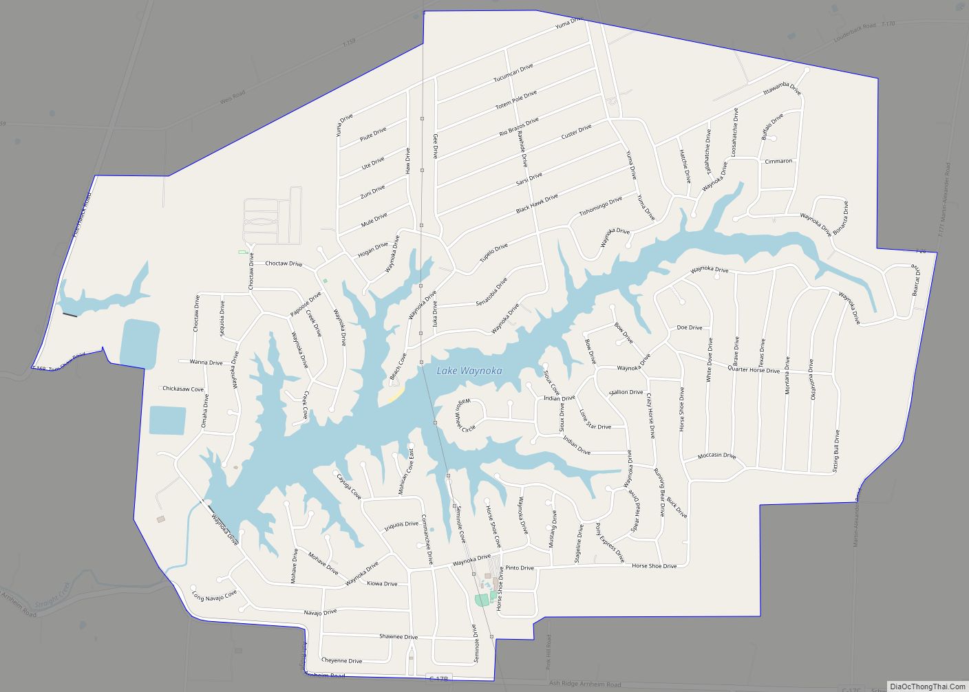
Lake Waynoka is a census-designated place (CDP) and gated community in Brown County, Ohio, United States, located around a similarly named reservoir between Sardinia and Russellville. The population was 1,173 at the 2010 census.
| Name: | Lake Waynoka CDP |
|---|---|
| LSAD Code: | 57 |
| LSAD Description: | CDP (suffix) |
| State: | Ohio |
| County: | Brown County |
| Elevation: | 1,000 ft (300 m) |
| Total Area: | 4.79 sq mi (12.40 km²) |
| Land Area: | 4.27 sq mi (11.05 km²) |
| Water Area: | 0.52 sq mi (1.35 km²) |
| Total Population: | 1,381 |
| Population Density: | 323.57/sq mi (124.94/km²) |
| ZIP code: | 45171 |
| Area code: | 937, 326 |
| FIPS code: | 3941657 |
| GNISfeature ID: | 2628922 |
Online Interactive Map
Click on ![]() to view map in "full screen" mode.
to view map in "full screen" mode.
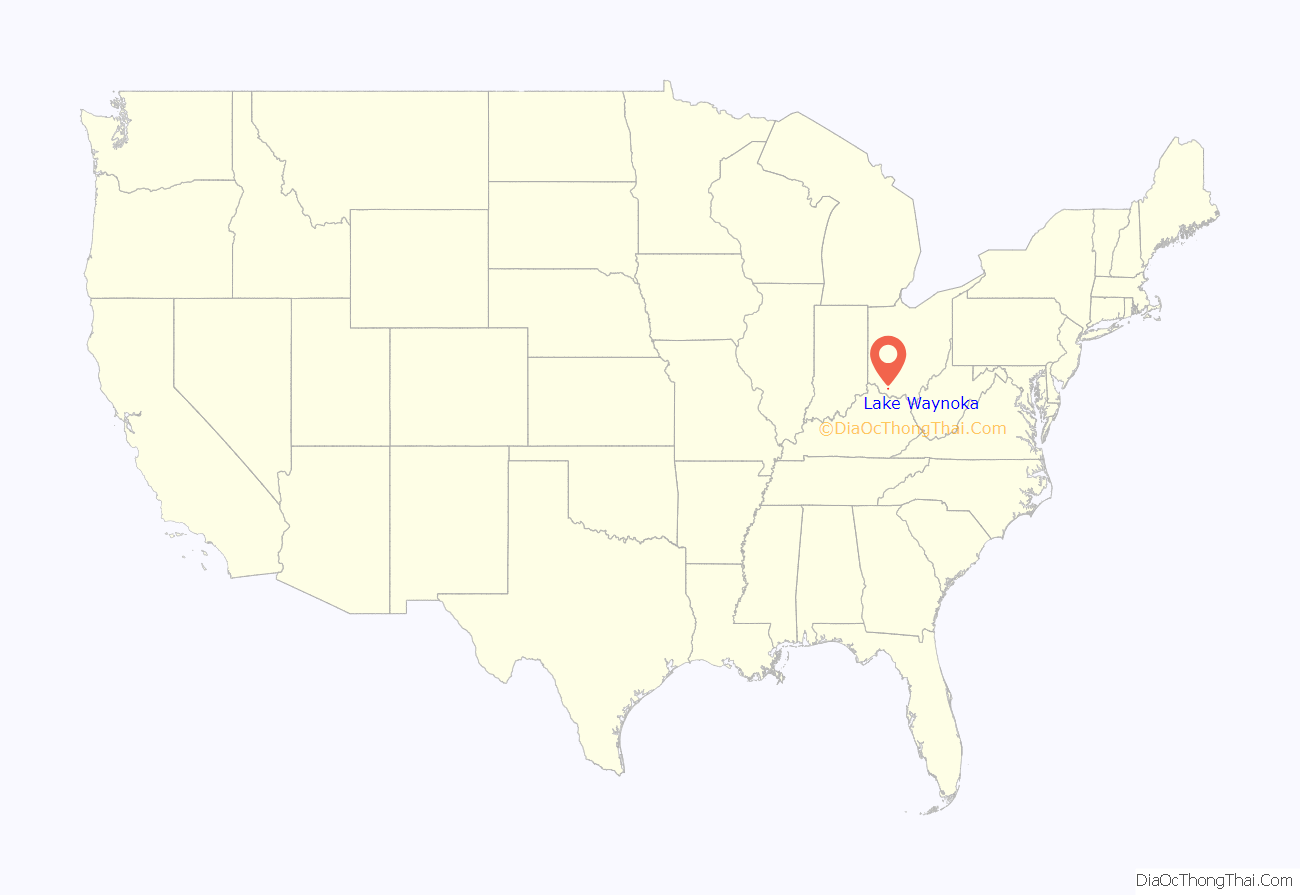
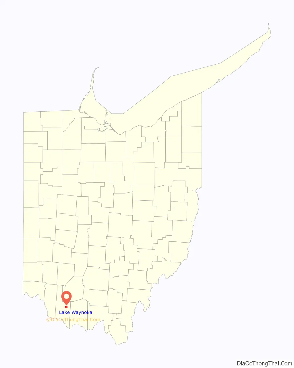
Lake Waynoka location map. Where is Lake Waynoka CDP?
History
In 1970, American Realty Service Corporation of Memphis, Tennessee, began the development of Lake Waynoka by buying farm land, damming the headwaters of Straight Creek, a tributary of the Ohio River, and dividing the land into lots roughly one-third of an acre in size. American Realty also created other lake communities.
Over the years, Lake Waynoka has transitioned from a weekend and summer get-away spot to a community of full-time residents with a high rate of continued growth. Migration from Cincinnati and Dayton has helped continue this growth.
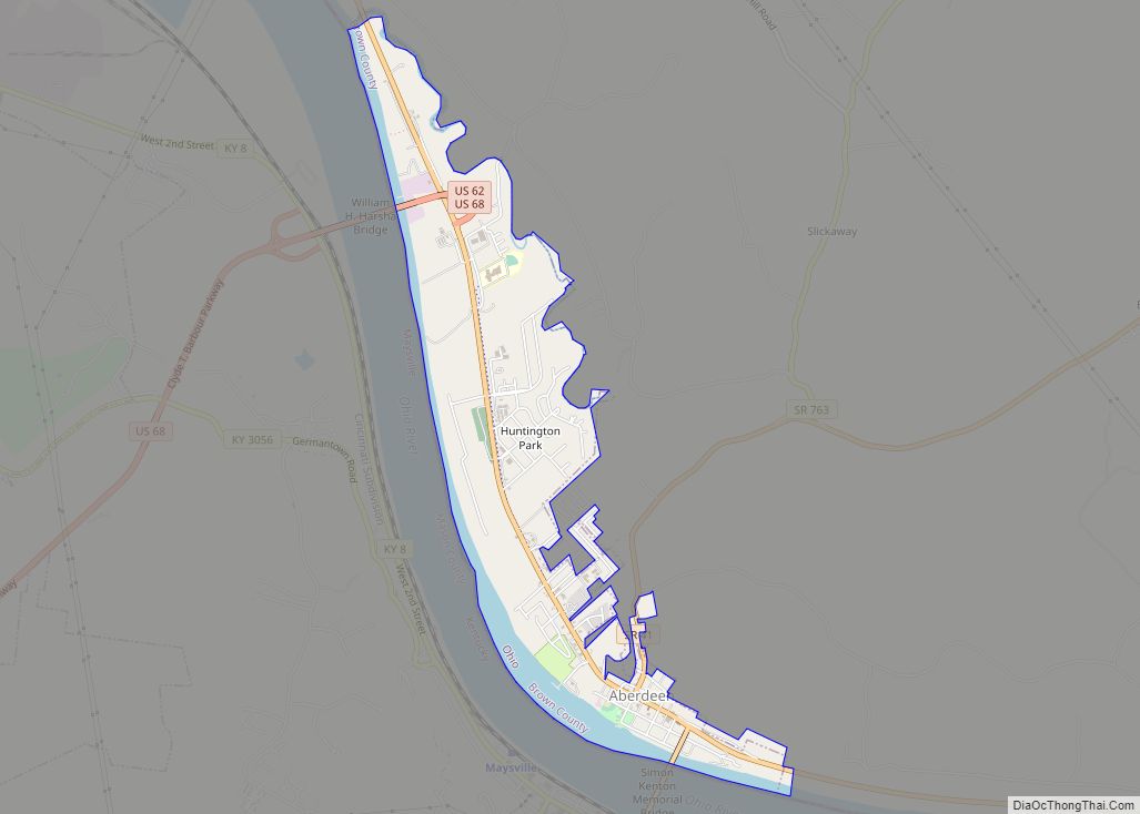
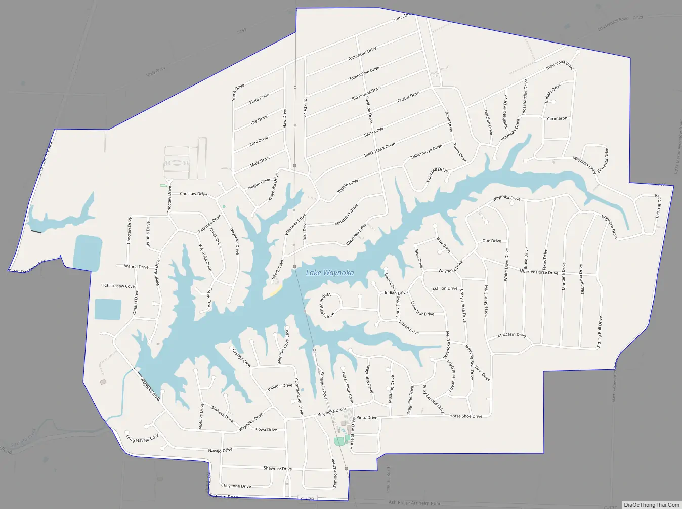
Lake Waynoka Road Map
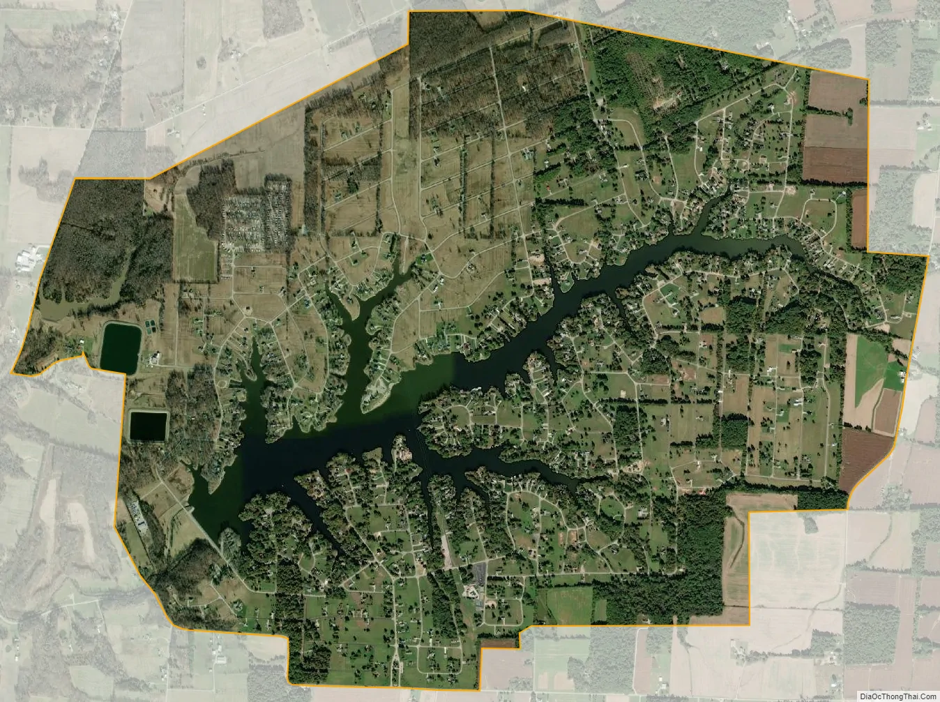
Lake Waynoka city Satellite Map
See also
Map of Ohio State and its subdivision:- Adams
- Allen
- Ashland
- Ashtabula
- Athens
- Auglaize
- Belmont
- Brown
- Butler
- Carroll
- Champaign
- Clark
- Clermont
- Clinton
- Columbiana
- Coshocton
- Crawford
- Cuyahoga
- Darke
- Defiance
- Delaware
- Erie
- Fairfield
- Fayette
- Franklin
- Fulton
- Gallia
- Geauga
- Greene
- Guernsey
- Hamilton
- Hancock
- Hardin
- Harrison
- Henry
- Highland
- Hocking
- Holmes
- Huron
- Jackson
- Jefferson
- Knox
- Lake
- Lake Erie
- Lawrence
- Licking
- Logan
- Lorain
- Lucas
- Madison
- Mahoning
- Marion
- Medina
- Meigs
- Mercer
- Miami
- Monroe
- Montgomery
- Morgan
- Morrow
- Muskingum
- Noble
- Ottawa
- Paulding
- Perry
- Pickaway
- Pike
- Portage
- Preble
- Putnam
- Richland
- Ross
- Sandusky
- Scioto
- Seneca
- Shelby
- Stark
- Summit
- Trumbull
- Tuscarawas
- Union
- Van Wert
- Vinton
- Warren
- Washington
- Wayne
- Williams
- Wood
- Wyandot
- Alabama
- Alaska
- Arizona
- Arkansas
- California
- Colorado
- Connecticut
- Delaware
- District of Columbia
- Florida
- Georgia
- Hawaii
- Idaho
- Illinois
- Indiana
- Iowa
- Kansas
- Kentucky
- Louisiana
- Maine
- Maryland
- Massachusetts
- Michigan
- Minnesota
- Mississippi
- Missouri
- Montana
- Nebraska
- Nevada
- New Hampshire
- New Jersey
- New Mexico
- New York
- North Carolina
- North Dakota
- Ohio
- Oklahoma
- Oregon
- Pennsylvania
- Rhode Island
- South Carolina
- South Dakota
- Tennessee
- Texas
- Utah
- Vermont
- Virginia
- Washington
- West Virginia
- Wisconsin
- Wyoming