Leetonia is a village in northern Columbiana County, Ohio, United States. The population was 1,833 at the 2020 census. It is part of the Salem micropolitan area, about 16 miles (26 km) south of Youngstown.
| Name: | Leetonia village |
|---|---|
| LSAD Code: | 47 |
| LSAD Description: | village (suffix) |
| State: | Ohio |
| County: | Columbiana County |
| Elevation: | 1,017 ft (310 m) |
| Total Area: | 2.27 sq mi (5.88 km²) |
| Land Area: | 2.26 sq mi (5.86 km²) |
| Water Area: | 0.01 sq mi (0.02 km²) |
| Total Population: | 1,833 |
| Population Density: | 809.99/sq mi (312.72/km²) |
| ZIP code: | 44431 |
| Area code: | 330, 234 |
| FIPS code: | 3942560 |
| GNISfeature ID: | 1064983 |
| Website: | http://leetonia.org/ |
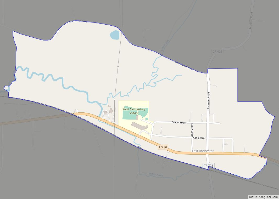
Online Interactive Map
Click on ![]() to view map in "full screen" mode.
to view map in "full screen" mode.
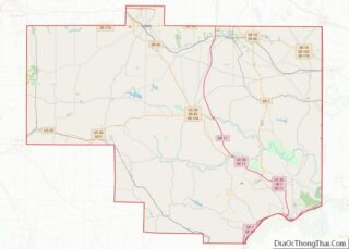
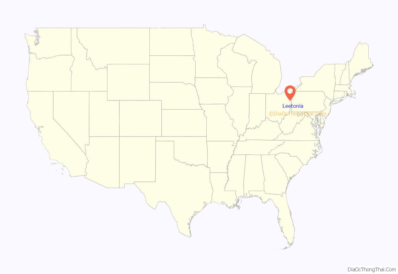
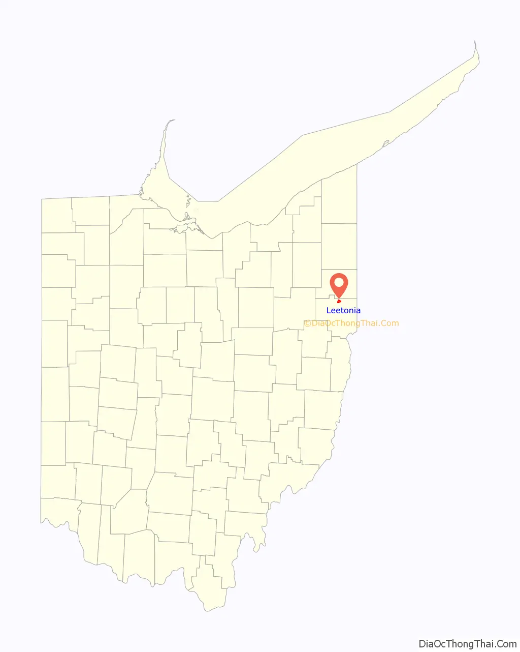
Leetonia location map. Where is Leetonia village?
History
The Village of Leetonia was founded in 1869, following the American Civil War. Leetonia was named for William Lee of Randolph, New York. Lee was one of the founders of the Leetonia Iron and Coal Company which was laid out in the village in 1866-1867.
Cherry Valley Coke Ovens
Leetonia is home to one of the few remaining bee hive coke oven sites in America. In the early 1860s, Irish businessman William Lee discovered rich deposits of coal, ore and lime under the soil of today’s Leetonia. Lee began to buy the surrounding land and established the company “The Leetonia Coal & Iron Company” which consisted of a coal mine, coke ovens, and a blast furnace. This company jumped into the iron and coal industry and soon turned the area into a thriving company town. The area went from housing three families in 1864 to 1,800 people by 1869 when it was incorporated.
The coke production was the main operation of the company. Leetonia Coal & Iron would mine the surrounding areas for coal and then cart coal by the tons into the coke ovens on rails above the ovens. The workers would then shovel the coal into the coke ovens to cook. This would purify the coal into a purer product of coal called coke which was then shipped off to the iron mills to be used in smelting iron. Coke has a much higher temperature point than regular coal so it was preferred for use in the mills.
Each coke oven is about 12 feet in diameter and 6 to 7 feet in height with the capacity to hold two to three tons of coal each. While still using 100 ovens, Leetonia Coal & Iron would process 250 tons of coal into coke per day. However, in 1873, the company was bought out and renamed “The Cherry Valley Iron and Coal Company”, who expanded operations and eventually had over 200 coke ovens and 4 blast furnaces; processing much more coal than ever before. Financial troubles hit the company during the Great Depression and the ovens were closed permanently.
The site was donated to the village of Leetonia for a park in 1982, and, in 1986, the village council appointed a commission to transform the area into a park.
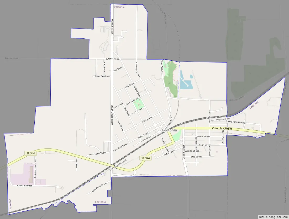
Leetonia Road Map
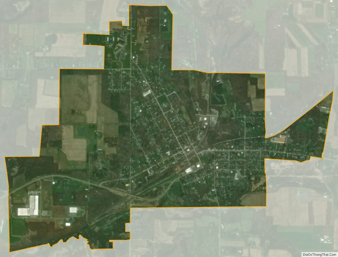
Leetonia city Satellite Map
Geography
Leetonia is located at 40°52′38″N 80°45′25″W / 40.87722°N 80.75694°W / 40.87722; -80.75694 (40.877291, -80.756862).
According to the United States Census Bureau, the village has a total area of 2.27 square miles (5.88 km), of which 2.26 square miles (5.85 km) is land and 0.01 square miles (0.03 km) is water.
One of the features of the downtown district is steep streets, heading north out of the village. The railroad tracks of the Norfolk Southern go through the village heading east and west.
See also
Map of Ohio State and its subdivision:- Adams
- Allen
- Ashland
- Ashtabula
- Athens
- Auglaize
- Belmont
- Brown
- Butler
- Carroll
- Champaign
- Clark
- Clermont
- Clinton
- Columbiana
- Coshocton
- Crawford
- Cuyahoga
- Darke
- Defiance
- Delaware
- Erie
- Fairfield
- Fayette
- Franklin
- Fulton
- Gallia
- Geauga
- Greene
- Guernsey
- Hamilton
- Hancock
- Hardin
- Harrison
- Henry
- Highland
- Hocking
- Holmes
- Huron
- Jackson
- Jefferson
- Knox
- Lake
- Lake Erie
- Lawrence
- Licking
- Logan
- Lorain
- Lucas
- Madison
- Mahoning
- Marion
- Medina
- Meigs
- Mercer
- Miami
- Monroe
- Montgomery
- Morgan
- Morrow
- Muskingum
- Noble
- Ottawa
- Paulding
- Perry
- Pickaway
- Pike
- Portage
- Preble
- Putnam
- Richland
- Ross
- Sandusky
- Scioto
- Seneca
- Shelby
- Stark
- Summit
- Trumbull
- Tuscarawas
- Union
- Van Wert
- Vinton
- Warren
- Washington
- Wayne
- Williams
- Wood
- Wyandot
- Alabama
- Alaska
- Arizona
- Arkansas
- California
- Colorado
- Connecticut
- Delaware
- District of Columbia
- Florida
- Georgia
- Hawaii
- Idaho
- Illinois
- Indiana
- Iowa
- Kansas
- Kentucky
- Louisiana
- Maine
- Maryland
- Massachusetts
- Michigan
- Minnesota
- Mississippi
- Missouri
- Montana
- Nebraska
- Nevada
- New Hampshire
- New Jersey
- New Mexico
- New York
- North Carolina
- North Dakota
- Ohio
- Oklahoma
- Oregon
- Pennsylvania
- Rhode Island
- South Carolina
- South Dakota
- Tennessee
- Texas
- Utah
- Vermont
- Virginia
- Washington
- West Virginia
- Wisconsin
- Wyoming